
Hill forts · North Wales
Old Oswestry
In or near Llanyblodwel.
Old Oswestry — hillfort in Shropshire, England, UK.

Wikimedia Commons contributors — see linked file page for photographer and licence licence
.jpg)
Plan your visit
- Typical visit
- 1 h–2 h
- Nearest railway station
- Oswestry · 1.2 km
- Free entry
- Family-friendly
- Dog-friendly
- Limited wheelchair access
Getting there & planning your visit
To visit Old Oswestry, the nearest railway station is Oswestry, located 1.2 km away. Entry is free, but accessibility is limited for wheelchair users. The postcode for sat-nav is SY10 7AA.
About
Old Oswestry is a hill fort in the United Kingdom. Heritage designation: scheduled monument. Owned by English Heritage. Managed by English Heritage. Part of Old Oswestry hillfort, and two adjacent sections of Wat's Dyke. Wikidata describes it as: "hillfort in Shropshire, England, UK". Coordinates: 52.8720°, -3.0478°.
Photo gallery
Summary from the official site
Old Oswestry Hillfort is a significant archaeological site believed to have been the main settlement of an Iron Age tribe, featuring extensive ramparts that protect its 40 acres. Visitors can explore the historical landscape and enjoy the natural surroundings.
Read more on the official property page.
From the Wikipedia article
Old Oswestry (Welsh: Hen Ddinas) is a large early Iron Age hill fort in the Welsh Marches near Oswestry in north west Shropshire, England. The earthworks, which remain one of the best preserved hill forts in the UK, have been described as "The Stonehenge of the Iron Age Period". After the hill fort was abandoned, it was incorporated into Wat's Dyke by the Mercians during the Early Medieval period. The hill fort was designated as a scheduled monument in 1934. The site is now managed by English Heritage. The accessible hill fort, at 160 metres (520 ft) ordnance datum, gives panoramic views across North and Mid Wales, Cheshire and Shropshire.
Excerpt from Wikipedia under CC BY-SA 4.0. See the source article linked in Sources below.
Background
History
The earliest occupation of the site began in the 8th century BC and continued up until the Roman conquest of Britain. Its inhabitants were either from the tribes of the Cornovii or Ordovices. The complexity of defences suggests there have been several phases of development. In the earliest period, a few round huts were sited on the undefended hillock. Subsequently these were enclosed by a double bank and ditch that enclosed 5.3 ha. Entrances were placed at the east and west ends of the earthworks where the inner bank was pulled inwards to create large gateways. Later a third bank was added on all sides except the south east where the hill's steep incline made it unnecessary. The western…
Sourced from Wikipedia under CC BY-SA 4.0.
- Coordinates
- 52.8720, -3.0478
- District
- Shropshire
- Parish
- Selattyn and Gobowen
- Postcode
- SY10 7AA
- Parliamentary constituency
- North Shropshire
- Nearest railway station
- Oswestry — 1.2 km
- Opening
- Open any reasonable time during daylight hours
- Official site
- www.english-heritage.org.uk
Sources
- wikidata: Q7084681 (CC0)
- wikipedia: Old Oswestry (CC BY-SA 4.0)
- commons: Old Oswestry Hillfort (aerial).jpg (CC BY-SA 4.0)
Featured in this guide
Other places nearby

Old Oswestry Iron Age Hill Fort
Hill forts · 0.0 km

Old Oswestry
Mountains & hills · 0.0 km

Cambrian Railways works
Historic bridges · 1.0 km

Shelf Bank
Forests & woodlands · 1.1 km

WWII Museum
Museums · 1.1 km

Shelf Bank
Natural landmarks · 1.1 km
Park Hall Farm
Historic houses · 1.2 km

Pentreclawdd Caravan Park
Caravan parks · 1.2 km

Cambrian Railways Museum
Museums · 1.3 km

Oswestry Town Market
Farmers’ markets · 1.3 km

Oswestry Castle
Literary houses · 1.3 km

Oswestry Castle
Castles · 1.3 km
Nearby
📷 3Hill forts · North Wales
Old Oswestry Iron Age Hill Fort
Old Oswestry Iron Age Hill Fort — a hill fort in wales-north, United Kingdom.
📷 5Mountains & hills · North Wales
Old Oswestry
Old Oswestry — mountain in wales north. Elevation: 150 m.
📷 4Historic bridges · North Wales
Cambrian Railways works
Cambrian Railways works — a Grade II*-listed bridge in wales-north, United Kingdom.
📷 3Forests & woodlands · North Wales
Shelf Bank
Shelf Bank is a forest or woodland in the United Kingdom.
📷 3Museums · North Wales
WWII Museum
WWII Museum — a museum in wales-north, United Kingdom.
📷 3Natural landmarks · North Wales
Shelf Bank
Shelf Bank — mountain in United Kingdom.
Where to eat & stay near Old Oswestry
Places to stay
📷 5Caravan parks · North Wales
Pentreclawdd Caravan Park
Pentreclawdd Caravan Park — a caravan park in wales north.
 📷 5
📷 5Caravan parks · North Wales
Fairhaven Camping And Glamping
Fairhaven Camping And Glamping — a caravan park in wales north.
 📷 5
📷 5 📷 5
📷 5 📷 5
📷 5 📷 5
📷 5Caravan parks · West Midlands
Newnes Touring Caravan Park
Newnes Touring Caravan Park — a caravan park in wales north.
Places to eat & drink
 📷 5
📷 5Historic pubs · North Wales
Butcher's Arms Public House
Butcher's Arms Public House in Wales North, United Kingdom.
 📷 5
📷 5 📷 5
📷 5Cafés · North Wales
Chapel Tearoom
Chapel Tearoom — a café in wales north.
 📷 5
📷 5Historic pubs · North Wales
Bridge End Inn
Bridge End Inn in Wales North, United Kingdom.
 📷 7
📷 7 📷 7
📷 7More places run by English Heritage
 Flagship📷 10
Museums · London
Kenwood House
Kenwood House — art museum and historic house in Hampstead, London.
 📷 5
📷 5Galleries · London
Apsley House
Apsley House — London townhouse of the Dukes of Wellington.
 📷 5
📷 5Castles · London
Eynsford Castle
Eynsford Castle — castle, now ruinous, in Eynsford, Kent, England, UK.
 📷 5
📷 5Museums · London
Jewel Tower
Jewel Tower — medieval tower in Westminster, London, England, UK.
More places in this region
 📷 3
📷 3Hill forts · North Wales
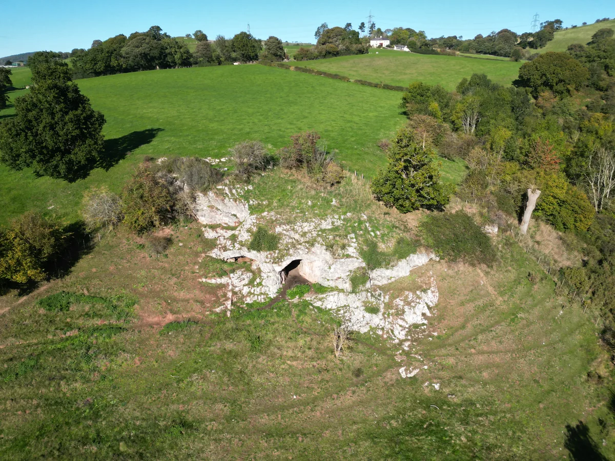
Ffynnon Beuno and Cae Gwyn Caves
Ffynnon Beuno and Cae Gwyn Caves — Site of Special Scientific Interest in Wales.
 📷 5
📷 5Hill forts · North Wales
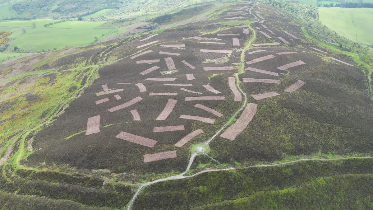
Penycloddiau
Penycloddiau — hillfort primarily located in Ysceifiog community, Flintshire.
 📷 5
📷 5Hill forts · North Wales
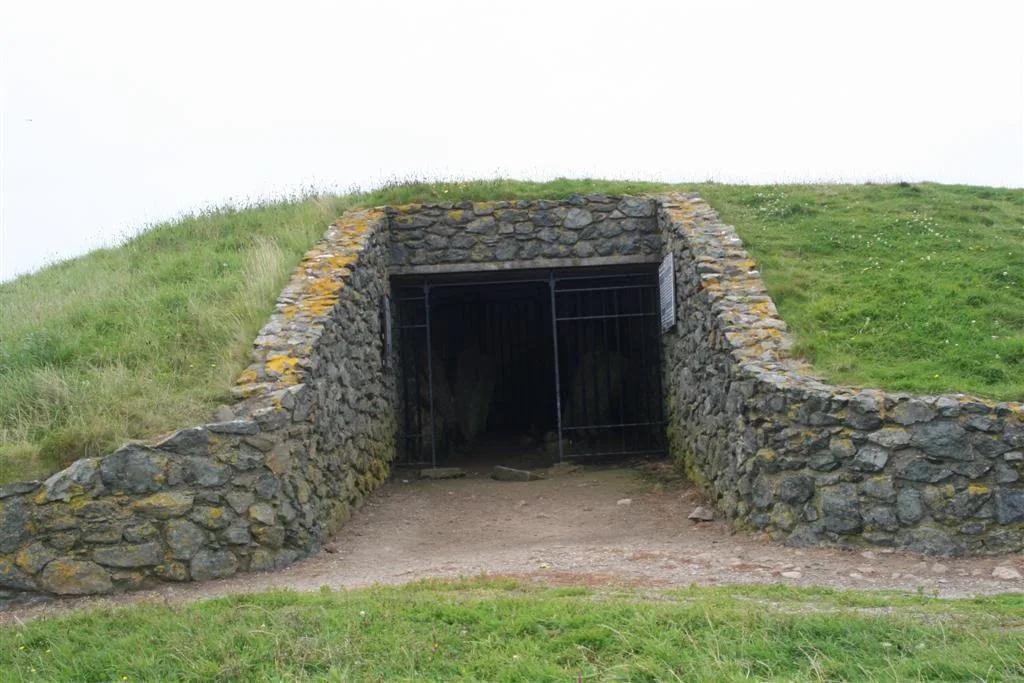
Barclodiad y Gawres
Barclodiad y Gawres — neolithic burial chamber in Anglesey, Wales, UK.
 📷 3
📷 3Hill forts · North Wales
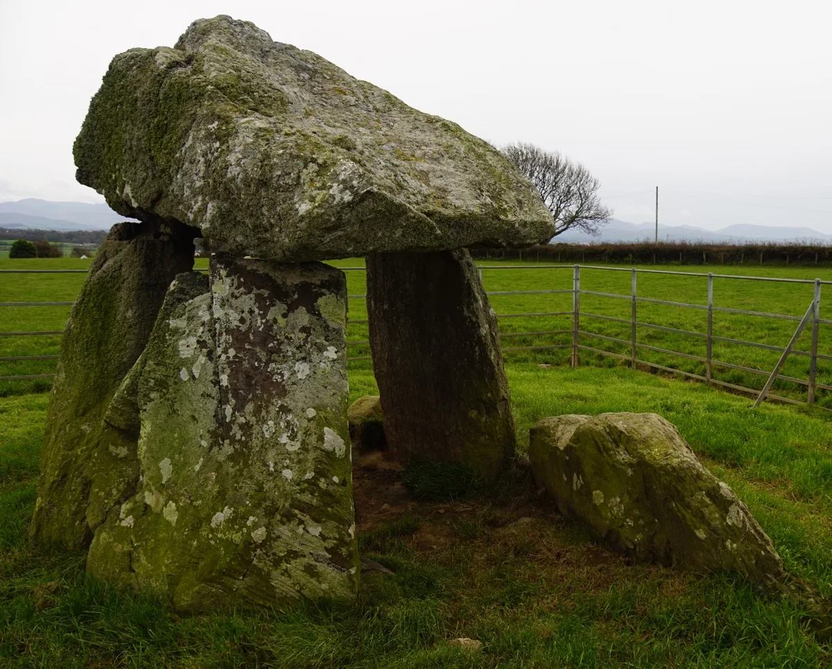
Bodowyr Burial Chamber
Bodowyr Burial Chamber — Neolithic burial chamber in Llanidan, Anglesey, Wales, UK.
Frequently asked questions
- Where is Old Oswestry?
- Old Oswestry is in North Wales, United Kingdom (postcode SY10 7AA), in the parish of Selattyn and Gobowen.
- What is Old Oswestry?
- Old Oswestry — hillfort in Shropshire, England, UK.
- How do I get to Old Oswestry?
- The nearest railway station is Oswestry, about 1.2 km away. Drivers can use postcode SY10 7AA.
- Who runs Old Oswestry?
- Old Oswestry is operated by English Heritage.
- Is Old Oswestry a listed building?
- Old Oswestry is officially recognised as scheduled monument listed.
- Is Old Oswestry free to visit?
- Yes, Old Oswestry is free to enter.
- How do I get to Old Oswestry?
- The nearest railway station is Oswestry, about 1.2 km away. Drivers can navigate to postcode SY10 7AA.