
Museums · North East England
Old Moss Lead Vein
In or near Alston.
Old Moss Lead Vein in England North East, United Kingdom.

William Stafford — CC BY-SA 2.0 via Wikimedia Commons licence

Plan your visit
- Typical visit
- 1.5 h–3 h
- Best time of year
- Year-round
- Free entry
- Family-friendly
- Limited wheelchair access
About
Old Moss Lead Vein is a place of interest in England North East, United Kingdom — drawn from open-data sources for visitor reference. See the linked Wikipedia article for the full description.
Photo gallery
See it from the streetimagery from 2020
Imagery © Mapillary contributors, CC BY-SA 4.0
Official information
Old Moss Lead Vein is a Site of Special Scientific Interest (SSSI) located in County Durham, recognized for its geological interest. Visitors can explore the natural features and the unique geological formations that characterize this area.
Protected designations
- Site of Special Scientific Interest: Old Moss Lead Vein SSSI
- Site of Special Scientific Interest: Allendale Moors SSSI
- Site of Special Scientific Interest: River Eden and Tributaries SSSI
- Area of Outstanding Natural Beauty: North Pennines
Designations sourced from Natural England open data under OGL v3.
From the Wikipedia article
Old Moss Lead Vein, also known as Killhope Head, is a Site of Special Scientific Interest in the Wear Valley district of County Durham, England. It consists of an exposure of a mineral vein in the valley of the Killhope Burn, just upstream from the North of England Lead Mining Museum. The vein is visible as a 5-metre thick intrusion trending northeast–southwest through the Great Limestone. Mineralisation in the vein typifies the inner fluorite zone of the North Pennines Orefield, with galena and sphalerite in the centre of the vein giving way to fluorite and siderite toward the periphery. The site, under the name Killhope Head, has been designated of national importance in the Geological Conservation Review.
Excerpt from Wikipedia under CC BY-SA 4.0. See the source article linked in Sources below.
- Coordinates
- 54.7847, -2.2806
- District
- County Durham
- Parish
- Stanhope
- Postcode
- DL13 1AT
- Parliamentary constituency
- Bishop Auckland
- Established
- 1961
- Official site
- designatedsites.naturalengland.org.uk
Sources
- wikidata: Q7084563 (CC0)
- wikipedia: Old Moss Lead Vein (CC BY-SA 4.0)
Other places nearby

Killhope Lead Mining Museum Yurts
Campsites · 0.5 km

Killhope Museum
Museums · 0.5 km

Killhope Lead Mining Museum
Museums · 0.6 km

Killhope
Museums · 0.8 km

Killhope Law
Mountains & hills · 1.5 km

Killhope Law
Mountains & hills · 1.5 km

Killhope Cross
Memorials & monuments · 2.1 km

Coalcleugh
Villages · 2.3 km

Coalcleugh
Other places · 2.7 km

Black Hill
Mountains & hills · 3.0 km

Lanehead
Other places · 3.1 km

Heathery Cleugh Bridge, Over Heathery Cleugh
Historic bridges · 3.1 km
Nearby
📷 5Campsites · North East England
Killhope Lead Mining Museum Yurts
Killhope Lead Mining Museum Yurts — a campsite in scotland lowlands.
📷 4Museums · North East England
Killhope Museum
Killhope Museum in England North East, United Kingdom.
📷 3Museums · North East England
Killhope Lead Mining Museum
Killhope Lead Mining Museum — a museum in scotland-lowlands, United Kingdom.
📷 4Museums · North East England
Killhope
Killhope in England North East, United Kingdom.
📷 5Mountains & hills · North East England
Killhope Law
Killhope Law — a hill or mountain in scotland lowlands.
📷 5Mountains & hills · North East England
Killhope Law
Killhope Law — mountain in scotland lowlands. Elevation: 673.0 m.
Where to eat & stay near Old Moss Lead Vein
Places to stay
📷 5Campsites · North East England
Killhope Lead Mining Museum Yurts
Killhope Lead Mining Museum Yurts — a campsite in scotland lowlands.
 📷 5
📷 5Hostels · North East England
Assay Office Bunkhouse
Assay Office Bunkhouse — a hostel in scotland lowlands.
 📷 5
📷 5Hostels · North East England
Allenheads Lodge
Allenheads Lodge — a hostel in scotland lowlands.
 📷 7
📷 7Hotels · North East England
The Allenheads Inn
The Allenheads Inn — a hotel in scotland lowlands.
 📷 5
📷 5Campsites · North East England
Haggs Bank Bunkhouse and Campsite
Haggs Bank Bunkhouse and Campsite — a campsite in scotland lowlands.
📷 5Caravan parks · North East England
Horse & Wagon Caravan Park
Horse & Wagon Caravan Park — a caravan park in scotland lowlands.
Places to eat & drink
 📷 5
📷 5 📷 5
📷 5Cafés · North East England
The White Monk Tearoom
The White Monk Tearoom — a café in scotland lowlands.
 📷 5
📷 5Historic pubs · North East England
The Lord Crewe Arms Hotel
The Lord Crewe Arms Hotel in Scotland Lowlands, United Kingdom.
 📷 5
📷 5Historic pubs · North East England
Travellers' Rest Inn
Travellers' Rest Inn in Scotland Lowlands, United Kingdom.
 📷 7
📷 7Historic pubs · North East England
Anchor Hotel
Anchor Hotel in Scotland Lowlands, United Kingdom.
 📷 5
📷 5More museums in this region
 📷 3
📷 3Museums · North East England
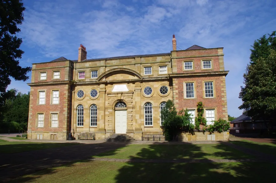
Kirkleatham Museum
Kirkleatham Museum — museum in the Tees Valley, United Kingdom.
 📷 3
📷 3Museums · North East England
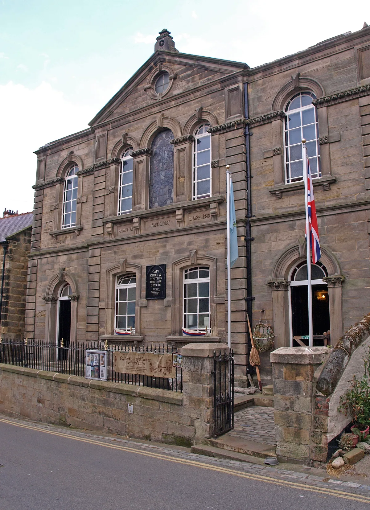
Staithes Museum
Staithes Museum — museum in Staithes, North Yorkshire, England, UK.
 📷 4
📷 4Museums · North East England
Former Chapel School
Former Chapel School in England North East, United Kingdom.
 📷 4
📷 4Museums · North East England
Stainmore Summit
Stainmore Summit in England North East, United Kingdom.
Frequently asked questions
- Where is Old Moss Lead Vein?
- Old Moss Lead Vein is in North-East England, United Kingdom (postcode DL13 1AT), in the parish of Stanhope.
- What is Old Moss Lead Vein?
- Old Moss Lead Vein in England North East, United Kingdom.
- How do I get to Old Moss Lead Vein?
- Drivers can use postcode DL13 1AT.
- When was Old Moss Lead Vein built?
- Built or established in 1961.
- Is Old Moss Lead Vein a protected site?
- Yes — Old Moss Lead Vein is part of the Old Moss Lead Vein SSSI Site of Special Scientific Interest and the Allendale Moors SSSI Site of Special Scientific Interest.
- How do I get to Old Moss Lead Vein?
- Drivers can navigate to postcode DL13 1AT. It sits within the Bishop Auckland parliamentary constituency.