
Hill forts · Mid Wales
Offa's Dyke
Also known as: Clawdd Offa, Díog Offa
In or near Llanfair Waterdine.
Offa's Dyke — defensive earthworks on the border between Anglian (or 'English') Mercia and the Kingdom of Wales.

Wikimedia Commons contributors — see linked file page for photographer and licence licence

Plan your visit
- Typical visit
- 1 h–2 h
- Nearest railway station
- Knighton · 0.5 km
- Free entry
- Family-friendly
- Dog-friendly
- Limited wheelchair access
Getting there & planning your visit
To visit Offa's Dyke, the nearest railway station is Knighton, located 0.5 km away. Entry is free, but please note that wheelchair accessibility is limited. The postcode for sat-nav is LD7 1BL.
About
Offa's Dyke is a hill fort in the United Kingdom. Owned by English Heritage. Managed by English Heritage. Wikidata describes it as: "defensive earthworks on the border between Anglian (or 'English') Mercia and the Kingdom of Wales". Coordinates: 52.3440°, -3.0490°.
Photo gallery
From English Heritage
An earthwork roughly following the Welsh/English boundary consisting of a ditch and rampart. Origins shrouded in mystery but possibly built in response to events involving the Princes of Powys.
Read more on the official property page.
Protected designations
- Site of Special Scientific Interest: River Teme SSSI
Designations sourced from Natural England open data under OGL v3.
From the Wikipedia article
Offa's Dyke (Welsh: Clawdd Offa) is a large linear earthwork that roughly follows the border between England and Wales. The structure is named after Offa, the Anglo-Saxon king of Mercia from 757 to 796, who is traditionally believed to have ordered its construction, although modern archaeological evidence shows far earlier origins and its original purpose is debated. It delineated the border between Anglian Mercia and the Welsh kingdoms (such as Powys) by the time of its completion, but when begun (carbon-dated to 430AD) it separated the Brytons of the Decangi, Cornovi and Dobunni from the Western Ordovices, Demetae and Silures. The earthwork, which was up to 65 feet (20 m) wide (including its flanking ditch) and 8 feet (2.4 m) high, traversed low ground, hills and rivers. Today, it is protected as a scheduled monument. Some of its route is followed by the Offa's Dyke Path, a 177-mile (285 km) long-distance footpath that runs between Liverpool Bay in the north and the Severn Estuary in the south. Although the dyke has conventionally been dated to the Early Middle Ages of Anglo-Saxon England, research in recent decades—using techniques such as radiocarbon dating—has challenged the conventional historiography and theories about the earthwork and showed that construction was started in the early 5th century, during the sub-Roman period.
Excerpt from Wikipedia under CC BY-SA 4.0. See the source article linked in Sources below.
Background
History
, showing the line of Offa's Dyke (red)]] in brown; Offa's Dyke in red]] The generally accepted theory of the earthwork attributes most of its construction to Offa, king of Mercia from 757 to 796 CE. The structure did not represent a mutually agreed boundary between the Mercians and the Kingdom of Powys. It had a ditch on the Welsh (western) side, with the displaced soil piled into a bank on the Mercian (eastern) side. This suggests that Mercians constructed it as a defensive earthwork, or to demonstrate the power and intent of their kingdom. Throughout its entire length, the dyke provides an uninterrupted view from Mercia into Wales. Where the earthwork encounters hills or high ground, it…
Sourced from Wikipedia under CC BY-SA 4.0.
- Coordinates
- 52.3440, -3.0490
- District
- Powys
- Parish
- Knighton
- Postcode
- LD7 1BL
- Parliamentary constituency
- Brecon, Radnor and Cwm Tawe
- Phone
- 0370 333 1181
- Nearest railway station
- Knighton — 0.5 km
- Opening
- Open any reasonable time during daylight hours
- Official site
- www.english-heritage.org.uk
Sources
- wikidata: Q1127343 (CC0)
- wikipedia: Offa's Dyke (CC BY-SA 4.0)
- commons: De Offa Dyke.JPG (CC BY-SA 4.0)
Other places nearby

Knighton
Heritage railway stations · 0.1 km
Knighton Museum
Museums · 0.1 km

Knighton Rural District
Other places · 0.2 km

Knighton Community Centre
Other places · 0.2 km

Knighton Hospital
Other places · 0.2 km

Knighton and Knucklas English Baptist Church
Historic churches · 0.2 km

Knighton Castle Mount
Literary houses · 0.2 km

Offa's Dyke Path
Military museums · 0.3 km
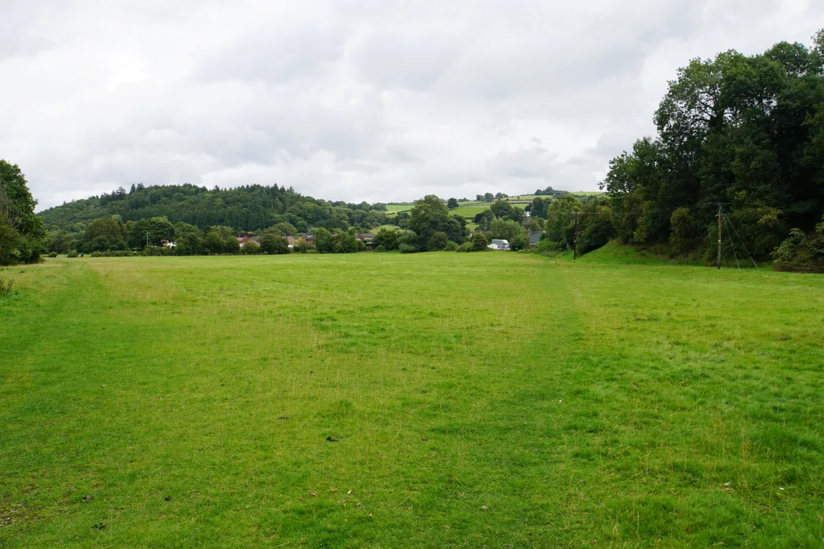
Bryn y Castell
Castles · 0.4 km

Offa's Dyke opening memorial
Memorials & monuments · 0.5 km

Knighton railway station
Parks · 0.5 km

Panpwnton Farm
Campsites · 0.9 km
Nearby
📷 4📷 4Other places · Mid Wales
Knighton Rural District
Knighton Rural District in Wales Mid, United Kingdom.
📷 4Other places · Mid Wales
Knighton Community Centre
Knighton Community Centre in Wales Mid, United Kingdom.
📷 4📷 5Historic churches · Mid Wales
Knighton and Knucklas English Baptist Church
Knighton and Knucklas English Baptist Church — Grade II listed building-listed church in wales-mid, United Kingdom.
Where to eat & stay near Offa's Dyke
Places to stay
📷 5Campsites · Mid Wales
Panpwnton Farm
Panpwnton Farm — a campsite in wales mid.
 📷 5
📷 5Caravan parks · Mid Wales
Chapel Lawn Farm Campsite
Chapel Lawn Farm Campsite — a caravan park in wales mid.
 📷 5
📷 5 📷 5
📷 5 📷 5
📷 5 📷 5
📷 5Places to eat & drink
 📷 4
📷 4 📷 4
📷 4 📷 5
📷 5 📷 5
📷 5 Flagship📷 6
Historic pubs · Mid Wales
The Stagg Inn
The Stagg Inn in Wales Mid, United Kingdom.
 📷 4
📷 4More places run by English Heritage
 Flagship📷 10
Museums · London
Kenwood House
Kenwood House — art museum and historic house in Hampstead, London.
 📷 5
📷 5Galleries · London
Apsley House
Apsley House — London townhouse of the Dukes of Wellington.
 📷 5
📷 5Castles · London
Eynsford Castle
Eynsford Castle — castle, now ruinous, in Eynsford, Kent, England, UK.
 📷 5
📷 5Museums · London
Jewel Tower
Jewel Tower — medieval tower in Westminster, London, England, UK.
More places in this region
 📷 3
📷 3Hill forts · Mid Wales
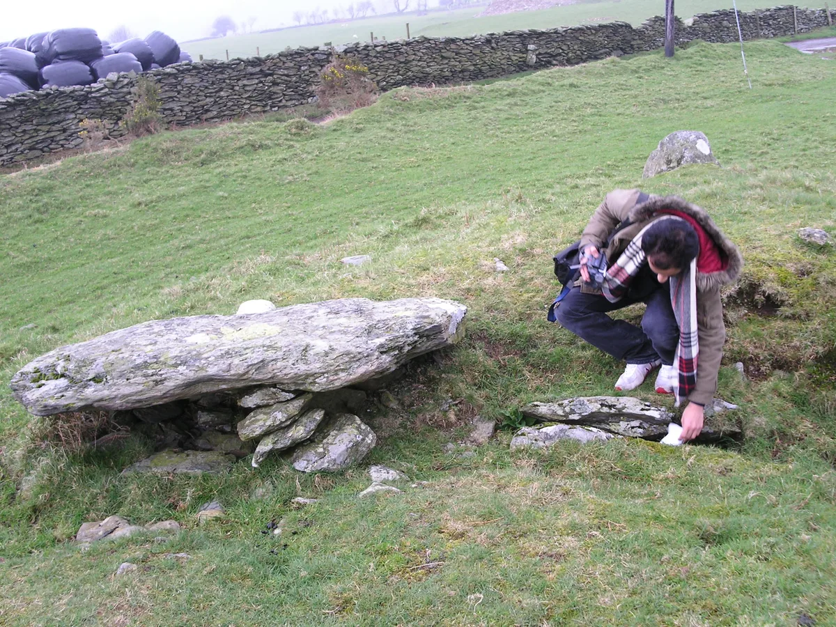
Ffridd Fechan Hillfort
Ffridd Fechan Hillfort — a hill fort in Mid Wales, United Kingdom.
 📷 5
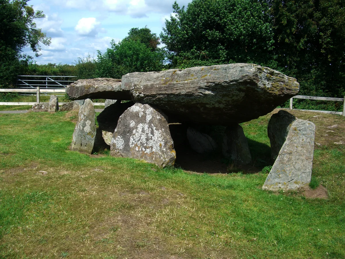
📷 5Hill forts · Mid Wales
Arthur's Stone, Herefordshire
Arthur's Stone, Herefordshire is a hill fort in the United Kingdom.
 📷 3
📷 3 📷 3
📷 3Frequently asked questions
- Where is Offa's Dyke?
- Offa's Dyke is in Mid Wales, United Kingdom (postcode LD7 1BL), in the parish of Knighton.
- What is Offa's Dyke?
- Offa's Dyke — defensive earthworks on the border between Anglian (or 'English') Mercia and the Kingdom of Wales.
- How do I get to Offa's Dyke?
- The nearest railway station is Knighton, about 0.5 km away. The nearest town is Llanfair Waterdine. Drivers can use postcode LD7 1BL.
- Who runs Offa's Dyke?
- Offa's Dyke is operated by English Heritage.
- Is Offa's Dyke a protected site?
- Yes — Offa's Dyke is part of the River Teme SSSI Site of Special Scientific Interest.
- Is Offa's Dyke free to visit?
- Yes, Offa's Dyke is free to enter.
- How do I get to Offa's Dyke?
- The nearest railway station is Knighton, about 0.5 km away. Drivers can navigate to postcode LD7 1BL.