
Hill forts · South West England
Obadiah's Barrow
In or near Hugh Town.
Obadiah's Barrow — neolithic entrance grave on the Isles of Scilly.

Wikimedia Commons contributors — see linked file page for photographer and licence licence

Plan your visit
- Typical visit
- 1 h–2 h
- Free entry
- Dog-friendly
About
Obadiah's Barrow is a hill fort in the United Kingdom. Wikidata describes it as: "neolithic entrance grave on the Isles of Scilly". Coordinates: 49.8956°, -6.3348°.
Photo gallery
Protected designations
- Site of Special Scientific Interest: Gugh SSSI
- Area of Outstanding Natural Beauty: Isles Of Scilly
- Ramsar wetland: Isles of Scilly
Designations sourced from Natural England open data under OGL v3.
From the Wikipedia article
Obadiah's Barrow or Obadiah's Grave is a Neolithic entrance grave located on the island of Gugh in the Isles of Scilly. The grave sits on a steep slope on the southwestern side of Kittern Hill, the highest point on Gugh. The grave was excavated in 1901 by British archaeologist, George Bonsor.
Excerpt from Wikipedia under CC BY-SA 4.0. See the source article linked in Sources below.
Background
History
The Isles of Scilly were originally settled during the Neolithic era, around 2500 BC. Entrance graves are distinguished by their burial chamber, typically constructed with edge-set slabs, coursed rubble walling or both, and roofed by large covering slabs. The chamber is usually accessible through an opening in the mound's stone outer edge. Excavations of entrance graves have generally uncovered cremation urns, pottery fragments and cremated and unburnt human bones. The grave was named for Obadiah Hicks, a farmer who lived on St. Agnes at the time of the excavation. Bonsor lodged with Hicks and named the burial monument after him. Bonsor's surviving plans, drawings and sections of the grave…
Description
Obadiah's barrow is a Neolithic entrance grave, 22 ft (7m) in diameter and 2 ft (60 cm) in height. It is located on Gugh, one of six inhabited islands in the Isles of Scilly. The grave is found on the southwestern side of Kittern Hill, the northernmost hill and highest point on the island. Kittern Hill is the site of several burial cairns, including five entrance graves. The largest entrance grave on Gugh is Obadiah's Barrow, also known as Obadiah's grave. Obadia's barrow consists of a predominantly circular mound, approximately 33 ft (10m) in diameter and 4.92 ft (1.5m) high. The grave has a short passage leading to an inner chamber, which measures 17 ft (5.2m) long by 4.6 ft (1.4m) wide.…
Sourced from Wikipedia under CC BY-SA 4.0.
- Coordinates
- 49.8956, -6.3348
- District
- Isles of Scilly
- Parish
- St Agnes
- Postcode
- TR22 0PL
- Parliamentary constituency
- St Ives
- Established
- 1750
Sources
- wikidata: Q3276069 (CC0)
- wikipedia: Obadiah's Barrow (CC BY-SA 4.0)
- commons: Obadiah's Barrow - geograph.org.uk - 933202.jpg (CC BY-SA 4.0)
Other places nearby

Carn Valla Chambered Cairn
Follies · 0.1 km

Kittern Hill
Mountains & hills · 0.1 km

Gugh Bar
Beaches · 0.2 km

Old Man of Gugh
Archaeological sites · 0.2 km

St Agnes Quay
Marinas · 0.3 km

Cove Vean
Beaches · 0.6 km

Clapper of Works
Archaeological sites · 0.6 km

Target Rock
Mountains & hills · 0.6 km
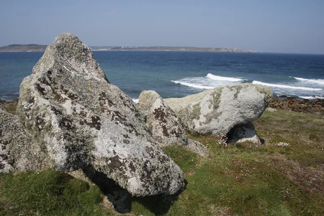
Prehistoric linear boundary on Dropnose Point, Gugh
Archaeological sites · 0.6 km
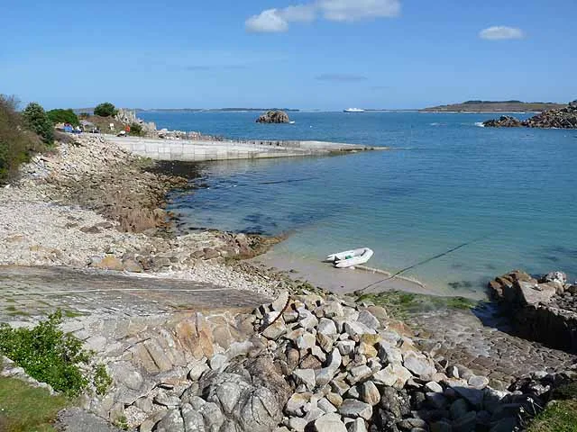
Q1788486
Islands · 0.8 km
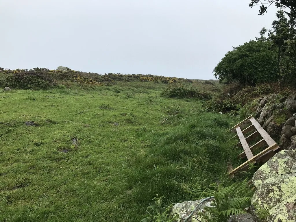
Prehistoric field system, settlement and cairn east of Barnaby Lane, St Agnes
Archaeological sites · 0.8 km
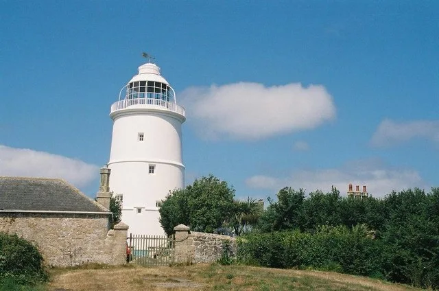
St Agnes Lighthouse
Lighthouses · 0.8 km
Nearby
📷 5Follies · South West England
Carn Valla Chambered Cairn
Carn Valla Chambered Cairn is a folly in the United Kingdom.
📷 5Mountains & hills · South West England
Kittern Hill
Kittern Hill — mountain in england south west. Elevation: 30 m.
📷 5📷 3Archaeological sites · South West England
Old Man of Gugh
Old Man of Gugh — a archaeological in england-south-west, United Kingdom.
📷 5📷 5Where to eat & stay near Obadiah's Barrow
Places to stay
 📷 5
📷 5Campsites · South West England
Troytown Farm Campsite
Troytown Farm Campsite — a campsite in england south west.
 📷 5
📷 5Hotels · South West England
Star Castle
Star Castle — a hotel in england south west.
 📷 5
📷 5Hotels · South West England
Tregarthen's Hotel
Tregarthen's Hotel — a hotel in england south west.
 📷 5
📷 5Hotels · South West England
Atlantic Hotel
Atlantic Hotel — a hotel in england south west.
 📷 5
📷 5B&Bs · South West England
Lyonesse Guest House
Lyonesse Guest House — a bed-and-breakfast in england south west.
 📷 5
📷 5Campsites · South West England
Pelistry Campsite
Pelistry Campsite — a campsite in england south west.
More places in this region
 Flagship📷 10
Hill forts · South West England
Maiden Castle
Maiden Castle — Iron Age hill fort in Dorset, England, UK.
 📷 5
📷 5Hill forts · South West England
All Cannings Cross
All Cannings Cross — archaeological site in All Cannings, Wiltshire, England, UK.
 📷 5
📷 5Hill forts · South West England
Aquae Sulis
Aquae Sulis — town in Roman Britain on the site of Bath, England.
 📷 5
📷 5Hill forts · South West England
Aston Valley Barrow Cemetery
Aston Valley Barrow Cemetery — group of Bronze Age burial mounds in England.
Frequently asked questions
- Where is Obadiah's Barrow?
- Obadiah's Barrow is in South-West England, United Kingdom (postcode TR22 0PL), in the parish of St Agnes.
- What is Obadiah's Barrow?
- Obadiah's Barrow — neolithic entrance grave on the Isles of Scilly.
- How do I get to Obadiah's Barrow?
- Drivers can use postcode TR22 0PL.
- When was Obadiah's Barrow built?
- Built or established in 1750.
- Is Obadiah's Barrow a protected site?
- Yes — Obadiah's Barrow is part of the Gugh SSSI Site of Special Scientific Interest and the Isles Of Scilly National Landscape (AONB).
- Is Obadiah's Barrow free to visit?
- Yes, Obadiah's Barrow is free to enter.
- How do I get to Obadiah's Barrow?
- Drivers can navigate to postcode TR22 0PL. It sits within the St Ives parliamentary constituency.