
Campsites · East of England
Oakwood
In or near Roughton.
Oakwood — a campsite in england east midlands.

Peter Barr — CC BY-SA 2.0 via Wikimedia Commons licence

Plan your visit
- Typical visit
- 1 h–2 h
- Nearest railway station
- Roughton Road · 0.9 km
About
Oakwood is a campsite located in england east midlands. Phone: +44 1263519054. Campsite listed with verified location and OSM metadata. Pitch availability, facilities (toilets, showers, electric hookup) and seasonal opening vary — confirm directly.
Photo gallery
Protected designations
- Area of Outstanding Natural Beauty: Norfolk Coast
Designations sourced from Natural England open data under OGL v3.
Place summary
Oakwood is a campsite located in the East Midlands. It offers a natural setting for outdoor enthusiasts, with facilities for tents and caravans. Visitors can expect a range of amenities typical of rural campsites, providing a base for exploring the surrounding countryside. The site caters to those seeking a relaxed camping experience.
AI-generated from the structured facts on this page (operator, designation, listing, era). Not a substitute for visiting.
- Coordinates
- 52.9130, 1.2886
- County
- Norfolk
- District
- North Norfolk
- Parish
- Felbrigg
- Postcode
- NR27 9JH
- Parliamentary constituency
- North Norfolk
- Phone
- +44 1263519054
- Nearest railway station
- Roughton Road — 0.9 km
Sources
- osm: n3663823674 (ODbL)
Other places nearby
Bramble Park
Caravan parks · 0.1 km

Drift Cottage
Caravan parks · 0.5 km

Felbrigg
Museums · 0.8 km
Felbrigg War Memorial
Memorials & monuments · 0.8 km
Felbrigg Village Sign
Public art & sculpture · 0.8 km
Cromer Miniature Railway
Miniature railways · 1.1 km

Amazona Zoo
Zoos & aquariums · 1.2 km

Cromer Camping
Campsites · 1.4 km

Cromer Hall
Historic houses · 1.5 km

Suffield Park Village Sign
Public art & sculpture · 1.6 km

Victory V
Viewpoints · 1.8 km

Manor Farm Campsite
Campsites · 1.8 km
Nearby
📷 5📷 5Caravan parks · East of England
Drift Cottage
Drift Cottage — a caravan park in england east midlands.
📷 5📷 3Memorials & monuments · East of England
Felbrigg War Memorial
Felbrigg War Memorial — Grade II listed building-listed memorial in england-east-midlands, United Kingdom.
📷 3Public art & sculpture · East of England
Felbrigg Village Sign
Felbrigg Village Sign — a public art in East of England, United Kingdom.
Miniature railways · East of England
Cromer Miniature Railway
Cromer Miniature Railway — a miniature railway in england-east, United Kingdom.
Where to eat & stay near Oakwood
Places to stay
📷 5📷 5Caravan parks · East of England
Drift Cottage
Drift Cottage — a caravan park in england east midlands.
📷 5Campsites · East of England
Cromer Camping
Cromer Camping — a campsite in england east midlands.
📷 5Campsites · East of England
Manor Farm Campsite
Manor Farm Campsite — a campsite in england east midlands.
 📷 5
Caravan parks · East of England
Antonia Villa
Antonia Villa — a caravan park in england east midlands.
Places to eat & drink
 📷 5
Historic pubs · East of England
The White Horse Public House
The White Horse Public House in England East, United Kingdom.
 📷 5
Historic pubs · East of England
The Wellington Public House
The Wellington Public House in England East, United Kingdom.
 📷 5
Historic pubs · East of England
Vernon Arms
Vernon Arms in England East, United Kingdom.
 📷 5
Historic pubs · East of England
Black Boys Public House
Black Boys Public House in England East, United Kingdom.
 📷 5
Historic pubs · East of England
Saracen's Head
Saracen's Head in England East, United Kingdom.
 📷 5
Historic pubs · East of England
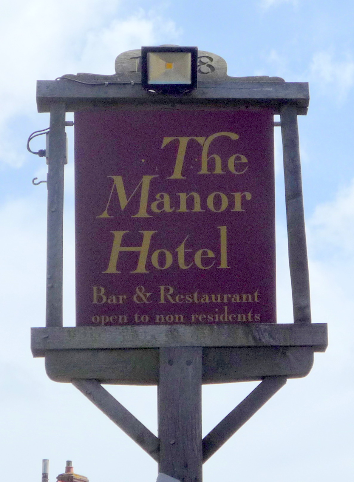
Manor Hotel, Mundesley
Manor Hotel, Mundesley in England East, United Kingdom.
More places in this region
 📷 5
Campsites · East of England
Sacrewell Farm
Sacrewell Farm — a campsite in england london.
 📷 5
Campsites · East of England
Jordans Close Scout Activity Centre
Jordans Close Scout Activity Centre — a campsite in england london.
 📷 5
 📷 5
Campsites · East of England
Ashwell House
Ashwell House — a campsite in england london.
Frequently asked questions
- Where is Oakwood?
- Oakwood is in Norfolk, East of England, United Kingdom (postcode NR27 9JH), in the parish of Felbrigg.
- What is Oakwood?
- Oakwood — a campsite in england east midlands.
- How do I get to Oakwood?
- The nearest railway station is Roughton Road, about 0.9 km away. The nearest town is Roughton. Drivers can use postcode NR27 9JH.
- Is Oakwood a protected site?
- Yes — Oakwood is part of the Norfolk Coast National Landscape (AONB).
- How do I get to Oakwood?
- The nearest railway station is Roughton Road, about 0.9 km away. Drivers can navigate to postcode NR27 9JH.