
Natural landmarks · South East England
Oaklands Community School
In or near Southampton.
Oaklands Community School — a school heritage in england-south-east, United Kingdom.

Geographer — CC BY-SA 2.0 via Wikimedia Commons licence

Plan your visit
- Typical visit
- 1 h–2 h
- Nearest railway station
- Redbridge · 2.6 km
- Free entry
- Dog-friendly
About
Oaklands Community School is a school heritage located in england-south-east, United Kingdom. Catalogued from Wikidata's UK heritage register; see the Wikipedia article for further historical and visitor details.
Photo gallery
Official information
Oaklands Community School was a secondary community school located in Lordshill, Southampton, serving students aged 11 to 16. The school has been closed since 31 August 2008 and is now linked to Oasis Academy Lord's Hill as its successor.
Protected designations
- Site of Special Scientific Interest: River Test SSSI
- Site of Special Scientific Interest: The New Forest SSSI
Designations sourced from Natural England open data under OGL v3.
Place summary
Oaklands Community School is located in South-East England. It serves as an educational institution, contributing to the local community. Further specific details about its history or architectural significance are not provided.
AI-generated from the structured facts on this page (operator, designation, listing, era). Not a substitute for visiting.
Background
History
The school was built on a seven-acre site, with a mixture of English tithe barn, with strong Japanese influences. The original cost in 1980 was thought to be £1.2 million, however this doubled to £2.4 million. The school opened in September 1982, though it was officially opened by Anne, Princess Royal the following year in May 1983. The first year, the school saw 400 pupils enroll, with the capacity of the school being 720. The school closed in August 2008. The premises became the upper school site for Oasis Academy Lord's Hill which has since moved to a new dedicated building. At the same time Millbrook Community School became the lower school site. The school buildings have been…
Sourced from Wikipedia under CC BY-SA 4.0.
- Coordinates
- 50.9410, -1.4540
- District
- Southampton
- Parish
- Southampton, unparished area
- Postcode
- SO16 8BY
- Parliamentary constituency
- Southampton Test
- Established
- 1982
- Nearest railway station
- Redbridge — 2.6 km
- Official site
- get-information-schools.service.gov.uk
Sources
- wikidata: Q7074080 (CC0)
- wikipedia: Oaklands Community School (CC BY-SA 4.0)
Other places nearby

Millbrook Community School
Natural landmarks · 0.7 km

Nursling
Villages · 0.9 km

Ronald McDonald House
Hostels · 1.8 km

St James' Park
Parks · 2.3 km

Toot Hill
Mountains & hills · 2.3 km
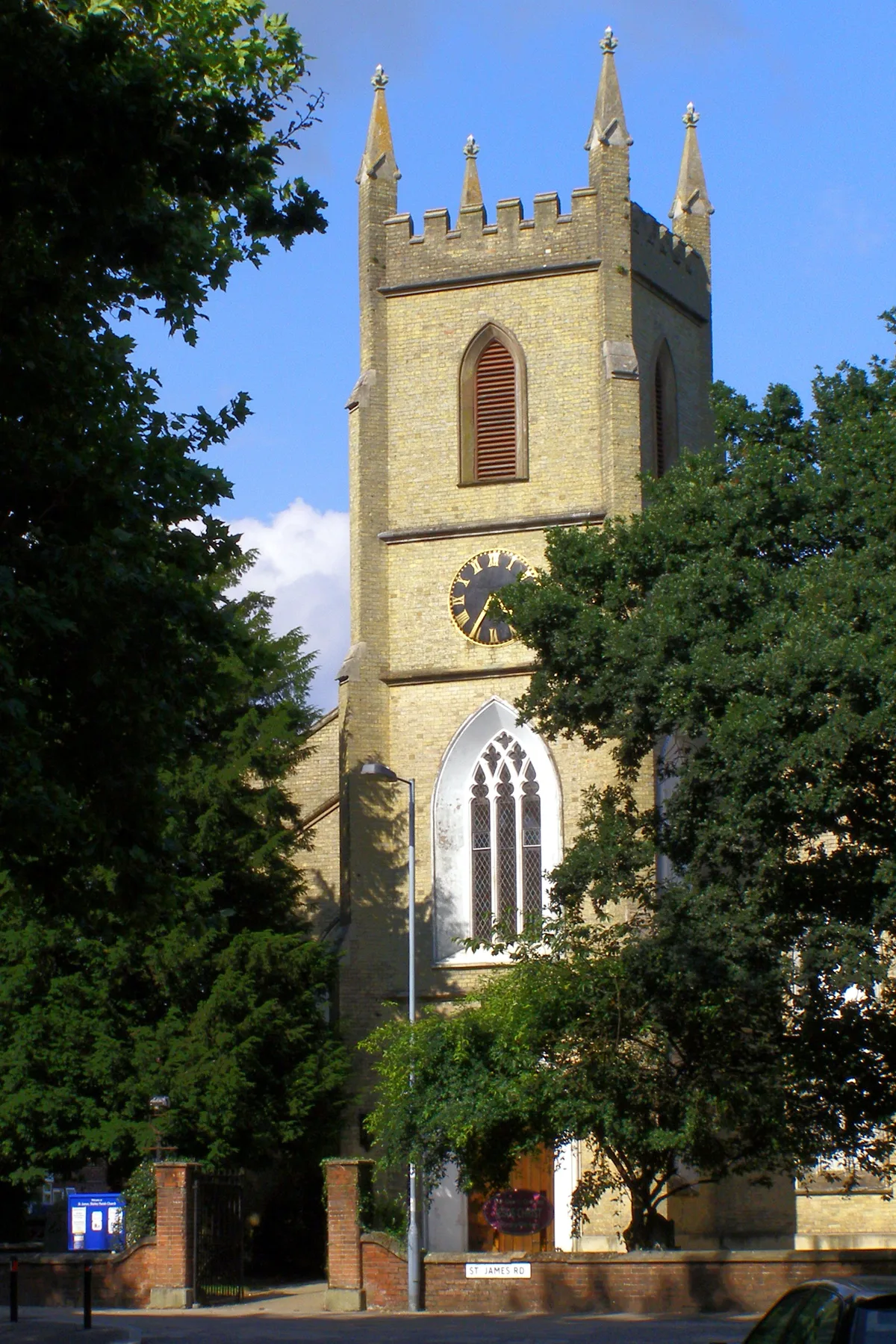
Shirley Parish Church
Historic churches · 2.4 km

Hode Cross Stone
Memorials & monuments · 2.5 km

Lower Test Nature Reserve
Forests & woodlands · 2.5 km

Shirley Baptist Church, Southampton
Historic churches · 2.5 km

River Test
Museums · 2.5 km

The Walls, Nursling Rownhams
Vineyards · 2.5 km

The Regent Guest House
B&Bs · 2.5 km
Nearby
📷 5Natural landmarks · South East England
Millbrook Community School
Millbrook Community School — a school heritage in england-south-east, United Kingdom.
📷 5📷 5Hostels · South East England
Ronald McDonald House
Ronald McDonald House — a hostel in england south east.
📷 5Parks · South East England
St James' Park
St James' Park — recreational area in Shirley, Southampton, Hampshire, England.
📷 5Mountains & hills · South East England
Toot Hill
Toot Hill — mountain in england south east. Elevation: 95 m.
📷 5Historic churches · South East England
Shirley Parish Church
Shirley Parish Church — church in Southampton, UK.
Where to eat & stay near Oaklands Community School
Places to stay
📷 5Hostels · South East England
Ronald McDonald House
Ronald McDonald House — a hostel in england south east.
📷 5B&Bs · South East England
The Regent Guest House
The Regent Guest House — a bed-and-breakfast in england south east.
 📷 5
📷 5Hotels · South East England
DoubleTree by Hilton Hotel Southampton
DoubleTree by Hilton Hotel Southampton — a hotel in england south east. 4-star. Brand: DoubleTree.
 📷 7
📷 7Hotels · South East England
Elizabeth House Hotel
Elizabeth House Hotel — a hotel in england south east.
 📷 7
📷 7 📷 7
📷 7Hotels · South East England
Leonardo Royal Hotel
Leonardo Royal Hotel — a hotel in england south east. 4-star. Brand: Leonardo Royal Hotel.
Places to eat & drink
 📷 7
📷 7Historic pubs · South East England
The Cross Keys Public House
The Cross Keys Public House in England South East, United Kingdom.
 📷 7
📷 7Historic pubs · South East England
The Cowherds Inn
The Cowherds Inn in England South East, United Kingdom.
 📷 5
📷 5Historic pubs · South East England
Pensioners Arms Public House
Pensioners Arms Public House in England South East, United Kingdom.
 📷 7
📷 7 📷 7
📷 7Historic pubs · South East England
Old Farmhouse Public House
Old Farmhouse Public House in England South East, United Kingdom.
 📷 5
📷 5Historic pubs · South East England
White Horse
White Horse in England South East, United Kingdom.
More natural landmarks in this region
 📷 5
📷 5Natural landmarks · South East England
Queen Victoria Statue
Queen Victoria Statue — Public artwork (statue) by Victor Ferdinand Franz Eugen Gustaf Adolf Constantin Friedrich of Hohenlohe-Langenburg.
 📷 5
📷 5Natural landmarks · South East England
Silent Pool
Silent Pool — lake in the United Kingdom.
 📷 5
📷 5Natural landmarks · South East England
Thomas & Jane Holloway Statue
Thomas & Jane Holloway Statue — Public artwork (statue) by Victor Ferdinand Franz Eugen Gustaf Adolf Constantin Friedrich of Hohenlohe-Langenburg.
 📷 5
📷 5Natural landmarks · South East England
Polesden Lacey
Polesden Lacey — a other in england-london, United Kingdom.
Frequently asked questions
- Where is Oaklands Community School?
- Oaklands Community School is in South-East England, United Kingdom (postcode SO16 8BY), in the parish of Southampton, unparished area.
- What is Oaklands Community School?
- Oaklands Community School — a school heritage in england-south-east, United Kingdom.
- How do I get to Oaklands Community School?
- The nearest railway station is Redbridge, about 2.6 km away. Drivers can use postcode SO16 8BY.
- When was Oaklands Community School built?
- Built or established in 1982.
- Is Oaklands Community School a protected site?
- Yes — Oaklands Community School is part of the River Test SSSI Site of Special Scientific Interest and the The New Forest SSSI Site of Special Scientific Interest.
- Is Oaklands Community School free to visit?
- Yes, Oaklands Community School is free to enter.
- How do I get to Oaklands Community School?
- The nearest railway station is Redbridge, about 2.6 km away. Drivers can navigate to postcode SO16 8BY.