
Historic bridges · Yorkshire & the Humber
Nunnington Bridge
In or near Nunnington.
Nunnington Bridge is a historic bridge in the United Kingdom.

Wikimedia Commons contributors — see linked file page for photographer and licence licence

Plan your visit
- Typical visit
- 15 min–30 min
- Free entry
- Dog-friendly
About
Nunnington Bridge is a named historic bridge in the United Kingdom. Coordinates: 54.2066°, -0.9754°. This entry is part of The Great Britain Guide, a free, ad-free, open-data tourist directory.
Photo gallery
Heritage listing
Nunnington Bridge is a historic structure in Nunnington, a village in North Yorkshire, in England. The bridge crosses the River Rye near Nunnington Hall. The first known bridge at the site was a two-arch structure, built in the 17th century. The current bridge was constructed in the early 18th century, and near the end of the century was widened on the upstream side and partly rebuilt. The bridge has been grade II* listed since 1955. The bridge is built of sandstone and consists of three arches, a larger segmental arch in the centre, flanked by smaller round arches. The bridge has cutwaters, there is moulding on the downstream side, a chamfered string course, and a plain parapet with chamfered coping.
From the Historic England List Entry under OGL v3.
Protected designations
- Area of Outstanding Natural Beauty: Howardian Hills
Designations sourced from Natural England open data under OGL v3.
From the Wikipedia article
Nunnington Bridge is a historic structure in Nunnington, a village in North Yorkshire, in England. The bridge crosses the River Rye near Nunnington Hall. The first known bridge at the site was a two-arch structure, built in the 17th century. The current bridge was constructed in the early 18th century, and near the end of the century was widened on the upstream side and partly rebuilt. The bridge has been grade II* listed since 1955. The bridge is built of sandstone and consists of three arches, a larger segmental arch in the centre, flanked by smaller round arches. The bridge has cutwaters, there is moulding on the downstream side, a chamfered string course, and a plain parapet with chamfered coping. The cutwaters rise into the parapet to form embrasures, in the centre is an octagonal drum, corbelled on the outer side, and at the ends are canted abutments. Edwyn Jervoise suggests that the drum may originally have carried a statue.
Excerpt from Wikipedia under CC BY-SA 4.0. See the source article linked in Sources below.
- Coordinates
- 54.2066, -0.9754
- District
- North Yorkshire
- Parish
- Nunnington
- Postcode
- YO62 5UY
- Parliamentary constituency
- Thirsk and Malton
Sources
- osm: w1454366353 (ODbL)
- wikipedia: Nunnington Bridge (CC BY-SA 4.0)
- commons: Bridge over the River Rye - geograph.org.uk - 3520415.jpg (CC BY-SA 4.0)
Other places nearby
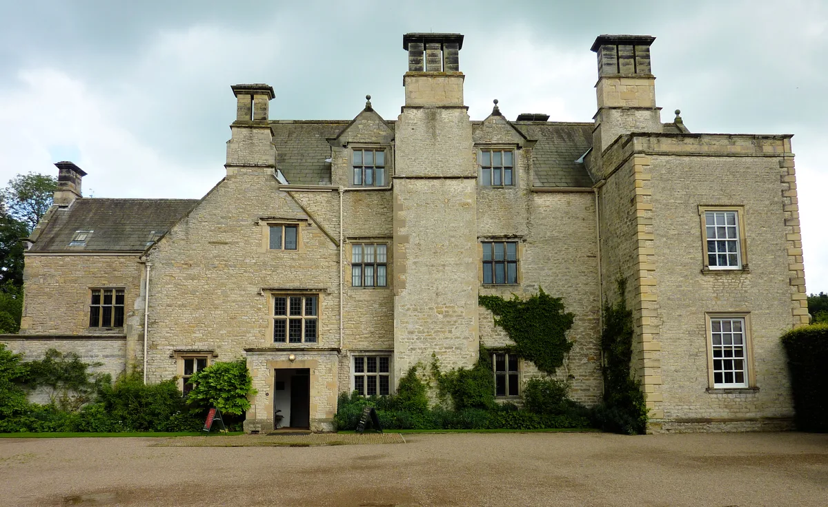
Nunnington Hall
Historic houses · 0.1 km

Nunnington War Memorial
Memorials & monuments · 0.4 km

Nunnington
Villages · 0.4 km

Nunnington Mill
Watermills · 0.6 km

Nunnington
Towns & cities · 0.9 km

Caulkleys Bank
Viewpoints · 1.3 km

Riccall House
Campsites · 1.5 km

Stonegrave
Villages · 2.1 km
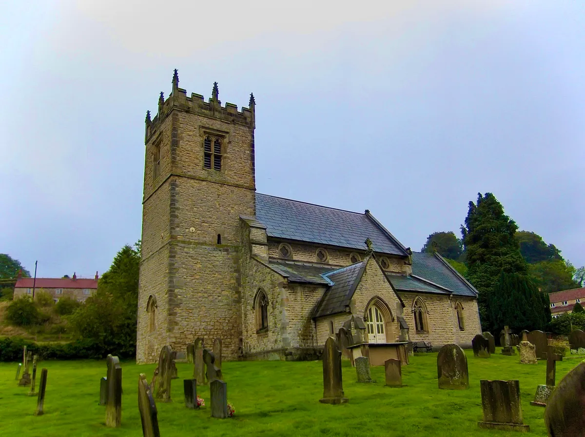
Stonegrave Minster
Historic churches · 2.1 km

East Ness Bridge
Historic bridges · 3.0 km

Harome
Villages · 3.2 km

Wombleton Caravan Park
Campsites · 3.3 km
Nearby
📷 3Historic houses · Yorkshire & the Humber
Nunnington Hall
Nunnington Hall — Grade I listed house in North Yorkshire, England, UK.
📷 3Memorials & monuments · Yorkshire & the Humber
Nunnington War Memorial
Nunnington War Memorial is a memorial in the United Kingdom.
📷 5📷 4Watermills · Yorkshire & the Humber
Nunnington Mill
Nunnington Mill — Grade II listed building-listed watermill in england-yorkshire, United Kingdom.
📷 4Towns & cities · Yorkshire & the Humber
Nunnington
Nunnington — village in North Yorkshire, England, UK.
📷 3Viewpoints · Yorkshire & the Humber
Caulkleys Bank
Caulkleys Bank is a viewpoint in the United Kingdom.
Where to eat & stay near Nunnington Bridge
Places to stay
📷 5📷 5Campsites · Yorkshire & the Humber
Wombleton Caravan Park
Wombleton Caravan Park — a campsite in england yorkshire.
 📷 5
📷 5Caravan parks · Yorkshire & the Humber
Foxholme Caravan Park
Foxholme Caravan Park — a caravan park in england yorkshire.
 📷 5
📷 5Hotels · Yorkshire & the Humber
The Worsley Arms Hotel
The Worsley Arms Hotel — a hotel in england yorkshire.
 📷 5📷 5
Caravan parks · Yorkshire & the Humber
Wrens of Ryedale Touring Park
Wrens of Ryedale Touring Park — a caravan park in england yorkshire.
Places to eat & drink
 📷 5
📷 5Restaurants · Yorkshire & the Humber
The Star Inn
The Star Inn — a restaurant in england yorkshire.
 📷 7
📷 7Historic pubs · Yorkshire & the Humber
The Black Swan And Railings To Front
The Black Swan And Railings To Front in England Yorkshire, United Kingdom.
 📷 5
📷 5Restaurants · Yorkshire & the Humber
The Stapylton Arms
The Stapylton Arms — a restaurant in england yorkshire.
 📷 5
📷 5Historic pubs · Yorkshire & the Humber
The Abbey Inn
The Abbey Inn in England Yorkshire, United Kingdom.
 📷 5
📷 5Historic pubs · Yorkshire & the Humber
The Blacksmith's Arms Restaurant
The Blacksmith's Arms Restaurant in England Yorkshire, United Kingdom.
 📷 5
📷 5Historic pubs · Yorkshire & the Humber
The Crown And Cushion
The Crown And Cushion in England Yorkshire, United Kingdom.
More bridges in this region
 📷 5
📷 5Historic bridges · Yorkshire & the Humber
Broadbottom Viaduct
Broadbottom Viaduct is a historic bridge in the United Kingdom.
 📷 3
📷 3Historic bridges · Yorkshire & the Humber
Goyt Cliff Viaduct
Goyt Cliff Viaduct is a historic bridge in the United Kingdom.
 📷 3
📷 3Historic bridges · Yorkshire & the Humber
Iron Bridge
Iron Bridge is a historic bridge in the United Kingdom.
.jpg?width=1200) 📷 5
📷 5Historic bridges · Yorkshire & the Humber
Marple Aqueduct
Marple Aqueduct is a historic bridge in the United Kingdom.
Frequently asked questions
- Where is Nunnington Bridge?
- Nunnington Bridge is in Yorkshire, United Kingdom (postcode YO62 5UY), in the parish of Nunnington.
- What is Nunnington Bridge?
- Nunnington Bridge is a historic bridge in the United Kingdom.
- How do I get to Nunnington Bridge?
- The nearest town is Nunnington. Drivers can use postcode YO62 5UY.
- Is Nunnington Bridge a listed building?
- Nunnington Bridge is officially recognised as Grade II* listed building listed.
- Is Nunnington Bridge a protected site?
- Yes — Nunnington Bridge is part of the Howardian Hills National Landscape (AONB).
- Is Nunnington Bridge free to visit?
- Yes, Nunnington Bridge is free to enter.
- How do I get to Nunnington Bridge?
- Drivers can navigate to postcode YO62 5UY. It sits within the Thirsk and Malton parliamentary constituency.