
Castles · Scottish Highlands
Nostie
Also known as: Nòstaidh
In or near Kyle of Lochalsh.
Nostie in Scotland Islands, United Kingdom.

Richard Dorrell — CC BY-SA 2.0 via Wikimedia Commons licence

Plan your visit
- Typical visit
- 1.5 h–3 h
- Nearest railway station
- Stromeferry · 7.6 km
- Family-friendly
- Limited wheelchair access
Getting there & planning your visit
To visit Nostie, the nearest railway station is Stromeferry, which is 7.6 km away. The postcode for sat-nav is IV40 8EQ. Accessibility is limited for wheelchair users.
About
Nostie is a place of interest in Scotland Islands, United Kingdom — drawn from open-data sources for visitor reference. See the linked Wikipedia article for the full description.
Photo gallery
From the Wikipedia article
Nostie (Scottish Gaelic: Ceann na Mòna) is a small remote hamlet, lying on Nostie Bay, an inlet at the northeastern end of the sea loch, Loch Alsh in the Scottish Highlands and is in the council area of Highland. Nostie lies a short distance from one of Scotland's popular tourist attractions, Eilean Donan Castle. It is the location of one of the three hydro-electric stations that formed the first schemes to be implemented by the North of Scotland Hydro-Electric Board following its formation in 1943. Construction began in May 1946, and the power station was built of stone to blend in with its surroundings. This decision informed most of the work of the board, and revived the dying art of stone-masonry in the Highlands. The station was completed in 1948, and was opened in December by Miss Macrae from Conchra. During a severe drought in 1955, workers using hand tools constructed nearly 1 mile (1.6 km) of channel to enable water from Loch na Smeòraich to supplement the supply in Lochalsh Dam. In 2016, the output of the station was increased by fitting a Pelton turbine into the compensation flow, which maintains the habitat in the Allt Gleann Udalain.
Excerpt from Wikipedia under CC BY-SA 4.0. See the source article linked in Sources below.
- Coordinates
- 57.2839, -5.5515
- District
- Highland
- Postcode
- IV40 8EQ
- Parliamentary constituency
- Inverness, Skye and West Ross-shire
- Nearest railway station
- Stromeferry — 7.6 km
Sources
Other places nearby

Fireach Ard
Mountains & hills · 0.3 km

Gleann Udalain, dun site
Archaeological sites · 1.2 km

Ardelve
Castles · 1.3 km

Fairy Tale Distillery
Distilleries · 1.5 km

Ardelve Caravan And Camping Park
Campsites · 1.5 km

Maol Beag
Mountains & hills · 1.9 km

Avernish Hill
Mountains & hills · 2.0 km

Auchtertyre
Reservoirs & lochs · 2.0 km

Caisteal Grugaig
Archaeological sites · 2.1 km

Avernish
Castles · 2.3 km

Dornie
Castles · 2.3 km

Totaig
Villages · 2.4 km
Nearby
📷 5Mountains & hills · Scottish Highlands
Fireach Ard
Fireach Ard — a hill or mountain in scotland highlands.
📷 3Archaeological sites · Scottish Highlands
Gleann Udalain, dun site
Gleann Udalain, dun site — a archaeological in scotland-highlands, United Kingdom.
📷 4Castles · Scottish Highlands
Ardelve
Ardelve in Scotland Islands, United Kingdom.
📷 3Distilleries · Scottish Highlands
Fairy Tale Distillery
Fairy Tale Distillery — Whisky/spirit distillery.
📷 5Campsites · Scottish Highlands
Ardelve Caravan And Camping Park
Ardelve Caravan And Camping Park — a campsite in scotland highlands.
📷 5Mountains & hills · Scottish Highlands
Maol Beag
Maol Beag — mountain in scotland highlands. Elevation: 272 m.
Where to eat & stay near Nostie
Places to stay
📷 5Campsites · Scottish Highlands
Ardelve Caravan And Camping Park
Ardelve Caravan And Camping Park — a campsite in scotland highlands.
 📷 5
📷 5Campsites · Scottish Highlands
Dornie Wigwams
Dornie Wigwams — a campsite in scotland highlands.
 📷 5
📷 5Campsites · Scottish Highlands
Reraig caravan site
Reraig caravan site — a campsite in scotland highlands.
 📷 5
📷 5Caravan parks · Scottish Highlands
Duirinish Holiday Lodges
Duirinish Holiday Lodges — a caravan park in scotland highlands.
 📷 5
📷 5Campsites · Scottish Highlands
Moyle Park Campsite
Moyle Park Campsite — a campsite in scotland highlands.
 📷 5
📷 5Hostels · Scottish Highlands
The Byre
The Byre — a hostel in scotland highlands.
More castles in this region
 📷 3
📷 3Castles · Scottish Highlands
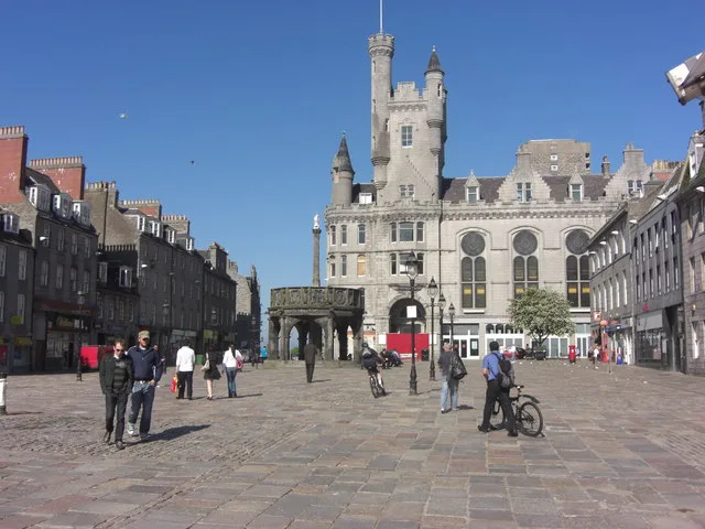
Aberdeen Castle
Aberdeen Castle — castle in Aberdeen City, Scotland, UK.
 📷 3
📷 3Castles · Scottish Highlands
Abergairn Castle
Abergairn Castle — castle in Aberdeenshire, Scotland, UK.
 📷 2
📷 2Castles · Scottish Highlands
Aberscross Castle
Aberscross Castle — castle near Dornoch, Highland, Scotland, UK, ruinous by the 17th century.
 📷 3
📷 3Castles · Scottish Highlands
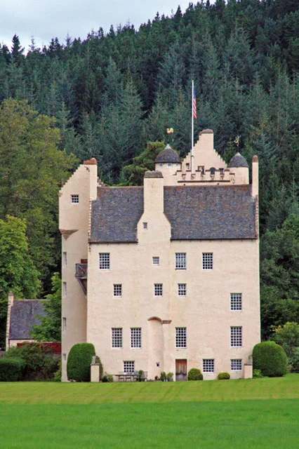
Aboyne Castle
Aboyne Castle — castle in Aberdeenshire, Scotland, UK.
Frequently asked questions
- Where is Nostie?
- Nostie is in the Scottish Highlands, United Kingdom (postcode IV40 8EQ).
- What is Nostie?
- Nostie in Scotland Islands, United Kingdom.
- How do I get to Nostie?
- The nearest railway station is Stromeferry, about 7.6 km away. Drivers can use postcode IV40 8EQ.
- Does Nostie charge admission?
- Nostie typically charges admission. Check the official site for current ticket prices and opening hours.
- How do I get to Nostie?
- The nearest railway station is Stromeferry, about 7.6 km away. Drivers can navigate to postcode IV40 8EQ.