
Villages · London
Norwood
In or near Shortlands.
Norwood — a village in england london.

Robin Stott — CC BY-SA 2.0 via Wikimedia Commons licence

Plan your visit
- Typical visit
- 1 h–2 h
- Nearest railway station
- Gipsy Hill · 0.6 km
About
A British village — settlements of this size traditionally cluster a green, parish church, pub and post office around historic land routes.
Photo gallery
Place summary
Norwood is a village located in the London region. It is characterised by its residential areas and local amenities, offering a suburban atmosphere within the capital. The village features a mix of architectural styles, reflecting its development over time. Visitors can expect a range of shops, parks, and community spaces typical of a London village setting.
AI-generated from the structured facts on this page (operator, designation, listing, era). Not a substitute for visiting.
- Coordinates
- 51.4192, -0.0840
- District
- Croydon
- Parish
- Croydon, unparished area
- Postcode
- SE19 1BJ
- Parliamentary constituency
- Streatham and Croydon North
- Nearest railway station
- Gipsy Hill — 0.6 km
Sources
- manual: geonames-2641179 (CC BY 4.0)
Other places nearby

A L'etage 2
Galleries · 0.1 km

Haynes Lane Collector's Market
Mines & mining heritage · 0.1 km

Crystal Palace Food Market
Farmers’ markets · 0.1 km

War Memorial at Westow Street
Memorials & monuments · 0.2 km

Upper Norwood
Chapels · 0.3 km

Margaret Lockwood
Memorials & monuments · 0.3 km
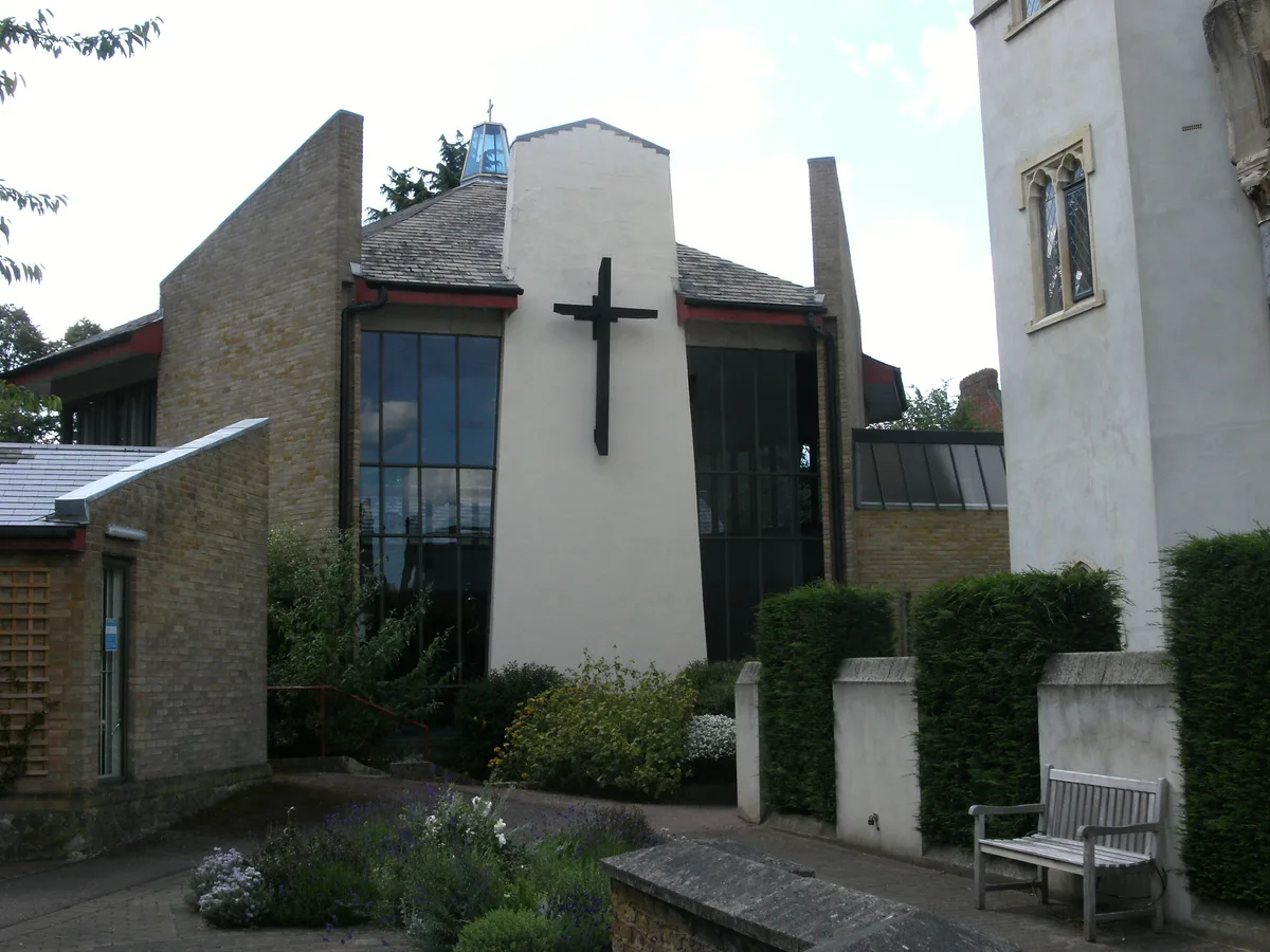
Christ Church, Gipsy Hill
Historic churches · 0.3 km
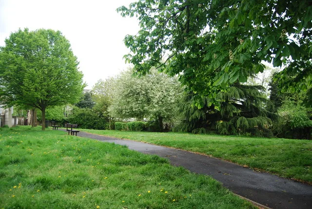
Westow Park
Country parks · 0.3 km

Tom Cox
Galleries · 0.3 km

Everyman Crystal Palace
Theatres · 0.3 km

Lorenzo
Restaurants · 0.3 km

Everyman
Cinemas · 0.3 km
Nearby
📷 5📷 5Mines & mining heritage · London
Haynes Lane Collector's Market
Haynes Lane Collector's Market — indoor market off the Crystal Palace Triangle, in London, England, UK.
📷 5Farmers’ markets · London
Crystal Palace Food Market
Crystal Palace Food Market — a UK farmers' market in england london. Stocks certified organic produce.
📷 5Memorials & monuments · London
War Memorial at Westow Street
War Memorial at Westow Street — Grade II listed building-listed memorial in england-london, United Kingdom.
📷 5Chapels · London
Upper Norwood
Upper Norwood — a methodist chapel in england-london, United Kingdom.
📷 5Memorials & monuments · London
Margaret Lockwood
Margaret Lockwood — a memorial in London, United Kingdom.
Where to eat & stay near Norwood
Places to stay
 📷 5
 📷 5
Campsites · London
South London Scout Centre
South London Scout Centre — a campsite in england london.
 📷 5
 📷 5
Hostels · London
Hootananny Brixton
Hootananny Brixton — a hostel in england london.
 📷 7
Hotels · London
Hampton by Hilton London Croydon
Hampton by Hilton London Croydon — a hotel in england london. 3.5-star. Brand: Hampton.
 📷 7
Hotels · London
Holiday Inn Express London-Croydon
Holiday Inn Express London-Croydon — a hotel in england london. 3-star. Brand: Holiday Inn Express.
Places to eat & drink
📷 5 📷 5
 📷 5
Historic pubs · London
The Crown and Greyhound
The Crown and Greyhound in England London, United Kingdom.
 📷 7
 📷 5
 📷 5
More places in this region
 📷 5
 📷 5
 📷 5
 📷 5
Frequently asked questions
- Where is Norwood?
- Norwood is in London, United Kingdom (postcode SE19 1BJ), in the parish of Croydon, unparished area.
- What is Norwood?
- Norwood — a village in england london.
- How do I get to Norwood?
- The nearest railway station is Gipsy Hill, about 0.6 km away. The nearest town is Shortlands. Drivers can use postcode SE19 1BJ.
- How do I get to Norwood?
- The nearest railway station is Gipsy Hill, about 0.6 km away. Drivers can navigate to postcode SE19 1BJ.