Museums · South West England
North Devon's Biosphere Reserve
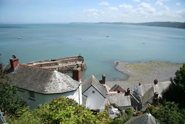
In or near Clovelly.
North Devon's Biosphere Reserve is a UNESCO biosphere reserve in North Devon. It covers 5,262 square kilometres (2,032 sq mi) and is centred on Braunton Burrows, the largest sand dune system (psammose

Wikimedia Commons licence
Plan your visit
- Typical visit
- 1.5 h–3 h
- Best time of year
- Year-round
- Free entry
- Family-friendly
- Limited wheelchair access
About
North Devon's Biosphere Reserve is a UNESCO biosphere reserve in North Devon. It covers 5,262 square kilometres (2,032 sq mi) and is centred on Braunton Burrows, the largest sand dune system (psammosere) in England. The boundaries of the reserve follow the edges of the conjoined catchment basin of the Rivers Taw and the Torridge and stretch out to sea to include the island of Lundy. The biosphere reserve is primarily lowland farmland, and includes many protected sites including 63 Sites of Special Scientific Interest which protect habitats such as culm grassland and broadleaved woodlands. The most populous settlements in its buffer area are Barnstaple, Bideford, Northam, Ilfracombe, and Okehampton. The reserve was the first of the "new style" of UNESCO biosphere reserves in the United Kingdom when it was expanded from its previous area in 2002. The new guidelines encourage its management to strike a balance between people and conservation of the environment they live in through sustainability, income generation, and a reduction in poverty. It is managed by the Biosphere Reserve Partnership, which includes a number of interested parties such as the Environment Agency, Natural England, Devon Wildlife Trust, and the National Trust. The partnership organises landscape projects and works closely with the inhabitants of the reserve. Within the reserve's core area are the sand dune system and culm grassland. To the west in Bideford Bay (visible from the beach element of the dunes,
Photo gallery
Official information
North Devon's Biosphere Reserve is a UNESCO-designated area that promotes the connection between people and nature. Visitors can explore diverse landscapes and engage in various activities that support environmental sustainability and community well-being.
Protected designations
- Area of Outstanding Natural Beauty: North Devon
Designations sourced from Natural England open data under OGL v3.
From the Wikipedia article
North Devon's Biosphere Reserve is a UNESCO biosphere reserve in North Devon. It covers 5,262 square kilometres (2,032 sq mi) and is centred on Braunton Burrows, the largest sand dune system (psammosere) in England. The boundaries of the reserve follow the edges of the conjoined catchment basin of the Rivers Taw and the Torridge and stretch out to sea to include the island of Lundy. The biosphere reserve is primarily lowland farmland, and includes many protected sites including 63 Sites of Special Scientific Interest which protect habitats such as culm grassland and broadleaved woodlands. The most populous settlements in its buffer area are Barnstaple, Bideford, Northam, Ilfracombe, and Okehampton. The reserve was the first of the "new style" of UNESCO biosphere reserves in the United Kingdom when it was expanded from its previous area in 2002. The new guidelines encourage its management to strike a balance between people and conservation of the environment they live in through sustainability, income generation, and a reduction in poverty. It is managed by the Biosphere Reserve Partnership, which includes a number of interested parties such as the Environment Agency, Natural England, Devon Wildlife Trust, and the National Trust. The partnership organises landscape projects and works closely with the inhabitants of the reserve. Within the reserve's core area are the sand dune system and culm grassland. To the west in Bideford Bay (visible from the beach element of the dunes, Saunton Sands which is a due-west facing surfing beach) is a coral reef with a diversity of coral and marine life seen nowhere else in Britain. The sand dunes have a rich habitat of hundreds of flowering plants while the Taw-Torridge estuary is an important feeding area for long-journey migratory birds. The economy of North Devon is largely supported by tourism. Four million people per year visit the area, and visitor numbers can rise as high as 60,000 per day in August. Most of these people com
Excerpt from Wikipedia under CC BY-SA 4.0. See the source article linked in Sources below.
Background
History
There is evidence of humans in North Devon from Mesolithic times onward. Worked pieces of flint or stone, known as flint scatters, that date to this era have been found around Baggy Point in an area where flint does not occur naturally. In the clays beneath the sand of Westward Ho! beach there is a Mesolithic midden, a prehistoric dump for domestic waste, composed of mussels, cockles, peppery furrow shells (Scrobicularia plana), and carpet shells (Venerupis spp.). On Exmoor the remains of small flint tools called microliths, used by hunter-gatherers to hunt and prepare animals, have been found and date to the late Mesolithic. In the Neolithic period, people started to manage animals and…
Sourced from Wikipedia under CC BY-SA 4.0.
- Coordinates
- 51.0833, -4.4000
- Address
- Devon, England
- Phone
- 01392 388647
- Established
- 1976
- Official site
- www.northdevonbiosphere.org.uk
Sources
- wikipedia: North Devon's Biosphere Reserve (CC BY-SA 4.0)
Other places nearby
Barnstaple Bay
Natural landmarks · 1.2 km
Bideford Bay
Mountains & hills · 5.0 km

Blackchurch Rock
Natural landmarks · 7.9 km

Mouth Mill Beach (Pebble)
Beaches · 8.0 km

Beckland Bay
Natural landmarks · 8.3 km

Beckland Beach
Beaches · 8.3 km

Windbury Head Camp
Archaeological sites · 8.4 km
Windbury Head Camp
Archaeological sites · 8.4 km

Angel's Wings
Follies · 8.4 km
Wellington Bomber Crash
Memorials & monuments · 8.5 km

Brownsham
Natural landmarks · 9.0 km

Clovelly Court
Historic houses · 9.2 km
Nearby
Natural landmarks · South West England
Barnstaple Bay
Barnstaple Bay — a natural feature in england south west.
📷 3Mountains & hills · South West England
Bideford Bay
Bideford Bay — body of water near Bideford, Devon, England, UK.
📷 3Natural landmarks · South West England
Blackchurch Rock
Blackchurch Rock — a other in england-south-west, United Kingdom.
📷 5Beaches · South West England
Mouth Mill Beach (Pebble)
Mouth Mill Beach (Pebble) — Beach (cobblestone).
📷 5Natural landmarks · South West England
Beckland Bay
Beckland Bay — a natural feature in england south west.
📷 2Where to eat & stay near North Devon's Biosphere Reserve
Places to stay
 📷 7
📷 7 📷 7
📷 7 📷 2
📷 2Hostels · South West England
Hartland Camping Barn
Hartland Camping Barn — a hostel in england south west.
 📷 5
📷 5Campsites · South West England
Camping and caravan site
Camping and caravan site — a campsite in england south west.
 📷 5
📷 5Caravan parks · South West England
Bideford Bay Holiday Park
Bideford Bay Holiday Park — a caravan park in england south west. Brand: Parkdean Resorts.
 📷 5
📷 5Caravan parks · South West England
South Lane Caravan Park
South Lane Caravan Park — a caravan park in england south west.
Places to eat & drink
📷 7 📷 7
📷 7Historic pubs · South West England
Royal George Inn
Royal George Inn in England South West, United Kingdom.
 📷 7
📷 7 📷 5
📷 5Historic pubs · South West England
Heavitree Arms
Heavitree Arms in England South West, United Kingdom.
 📷 5
📷 5Historic pubs · South West England
The Gannet Public House
The Gannet Public House in England South West, United Kingdom.
 📷 7
📷 7Historic pubs · South West England
The Old Custom House
The Old Custom House in England South West, United Kingdom.
More museums in this region
 📷 5
📷 5Museums · South West England
Alexander Keiller Museum
Alexander Keiller Museum — museum in South West England, United Kingdom.
 📷 5
📷 5Museums · South West England
American Museum and Gardens
American Museum and Gardens — culture and arts museum near Bath, England, United Kingdom.
 📷 5
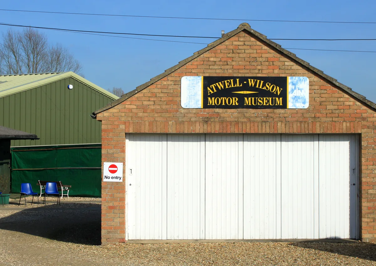
📷 5Museums · South West England
Atwell-Wilson Motor Museum
Atwell-Wilson Motor Museum — museum in Calne, England, UK.
 📷 5
📷 5Museums · South West England
Bath Abbey Heritage Vaults
Bath Abbey Heritage Vaults — museum in Bath Abbey, Bath, England, UK.
Frequently asked questions
- Where is North Devon's Biosphere Reserve?
- North Devon's Biosphere Reserve is in South-West England, United Kingdom.
- What is North Devon's Biosphere Reserve?
- North Devon's Biosphere Reserve is a UNESCO biosphere reserve in North Devon. It covers 5,262 square kilometres (2,032 sq mi) and is centred on Braunton Burrows, the largest sand dune system (psammose
- How do I get to North Devon's Biosphere Reserve?
- Its coordinates are 51.0833°, -4.4000°.
- When was North Devon's Biosphere Reserve built?
- Built or established in 1976.
- Is North Devon's Biosphere Reserve a protected site?
- Yes — North Devon's Biosphere Reserve is part of the North Devon National Landscape (AONB).