Reservoirs & lochs · East of England
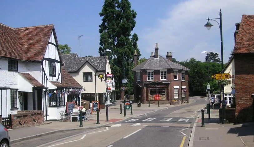
Nomansland Common
In or near Wheathampstead.
Nomansland Common (sometimes simply called No Man's Land) is an area of common land in Hertfordshire, England to the south of Harpenden and the south-west of Wheathampstead. Geologically, the common i

Gary Fellows — CC BY-SA 2.0 via Wikimedia Commons licence
Plan your visit
- Typical visit
- 1 h–2.5 h
- Nearest railway station
- Harpenden · 3.8 km
- Free entry
- Dog-friendly
Getting there & planning your visit
To visit Nomansland Common, the nearest railway station is Harpenden, located 3.8 km away. The postcode for sat-nav is AL4 8EJ, and entry is free.
About
Nomansland Common (sometimes simply called No Man's Land) is an area of common land in Hertfordshire, England to the south of Harpenden and the south-west of Wheathampstead. Geologically, the common is part of the Harpenden Dry Valley. In the last ice age a glacier dammed the river (which then flowed from Dunstable) south of Sandridge into St Albans Vale, creating a lake. When the dam melted and water drained away, it left the thin, stony soil still found on the common today. Nomansland has, throughout its history, been recognised for uniquely poor soil quality for agricultural purposes, although flint axe heads suggest that the common may have been cleared for grazing as long ago as 4000 BC. In World War II attempts were made to plant crops on the common, but the common yielded less than half of the produce per unit area as other arable land, despite heavy use of fertilisers. After the end of the war, the land was re-seeded as grass and returned to recreational use.
Photo gallery
From the Wikipedia article
Nomansland Common (sometimes simply called No Man's Land) is an area of common land in Hertfordshire, England to the south of Harpenden and the south-west of Wheathampstead. Geologically, the common is part of the Harpenden Dry Valley. In the last ice age a glacier dammed the river (which then flowed from Dunstable) south of Sandridge into St Albans Vale, creating a lake. When the dam melted and water drained away, it left the thin, stony soil still found on the common today. Nomansland has, throughout its history, been recognised for uniquely poor soil quality for agricultural purposes, although flint axe heads suggest that the common may have been cleared for grazing as long ago as 4000 BC. In World War II attempts were made to plant crops on the common, but the common yielded less than half of the produce per unit area as other arable land, despite heavy use of fertilisers. After the end of the war, the land was re-seeded as grass and returned to recreational use.
Excerpt from Wikipedia under CC BY-SA 4.0. See the source article linked in Sources below.
Background
History
Nomansland Common, as its name implies, is extra-parochial, and was the source of frequent disputes between the monastery of St Albans and that of Westminster, both claiming it to be within their respective dioceses, and the manors of Sandridge and Wheathampstead. It is now divided between the parishes of Wheathampstead and Sandridge. In 1427 the abbot of Westminster erected a gallows there, which the servants of St Albans Abbey promptly destroyed. In 1428 a shepherd died on the common and the Vicar of Sandridge claimed the body for burial, but the men of Wheathampstead spirited the corpse away and buried it in their churchyard. In 1429 a jury agreed that both abbeys should share grazing…
Sourced from Wikipedia under CC BY-SA 4.0.
- Coordinates
- 51.7976, -0.3036
- County
- Hertfordshire
- District
- St Albans
- Parish
- Wheathampstead
- Postcode
- AL4 8EJ
- Parliamentary constituency
- Harpenden and Berkhamsted
- Nearest railway station
- Harpenden — 3.8 km
Sources
- wikipedia: Nomansland Common (CC BY-SA 4.0)
Other places nearby
_female.jpg?width=1200)
Heartwood Forest
Forests & woodlands · 0.8 km

Elephant And Castle Public House
Historic pubs · 0.9 km

Wheathampstead Local Nature Reserve
Wildlife reserves · 0.9 km

Brewhouse and Maltings
Memorials & monuments · 1.5 km

Old Church School
Memorials & monuments · 1.6 km

Devil's Dyke
Archaeological sites · 1.7 km

Collins Corner
Memorials & monuments · 1.7 km

St Helen's Church Yard
Memorials & monuments · 1.7 km
Lattimores
Memorials & monuments · 1.7 km
Wheathampstead
Towns & cities · 1.8 km
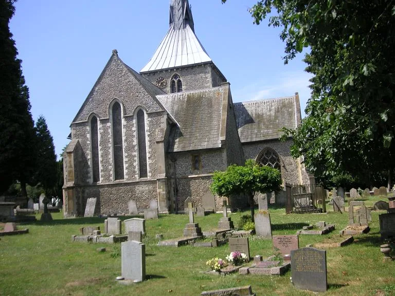
St Helen's Church, Wheathampstead
Historic churches · 1.8 km

The White Cottage
Memorials & monuments · 1.8 km
Nearby
📷 5Forests & woodlands · East of England
Heartwood Forest
Heartwood Forest is a forest or woodland in the United Kingdom.
📷 5Historic pubs · East of England
Elephant And Castle Public House
Elephant And Castle Public House in England East, United Kingdom.
📷 5Wildlife reserves · East of England
Wheathampstead Local Nature Reserve
Wheathampstead Local Nature Reserve is a wildlife reserve in the United Kingdom.
📷 5Memorials & monuments · East of England
Brewhouse and Maltings
Brewhouse and Maltings — a memorial in england-london, United Kingdom.
📷 5Memorials & monuments · East of England
Old Church School
Old Church School — a memorial in england-london, United Kingdom.
📷 5Where to eat & stay near Nomansland Common
Places to stay
 📷 5
📷 5 📷 5
📷 5Hotels · East of England
Ardmore House Hotel
Ardmore House Hotel — a hotel in england london.
 📷 5
📷 5 📷 5
📷 5 📷 5
📷 5Hotels · East of England
The White Hart Hotel
The White Hart Hotel — a hotel in england london.
 📷 5
📷 5Caravan parks · East of England
Barley Mow Caravan Site
Barley Mow Caravan Site — a caravan park in england london.
Places to eat & drink
📷 5Historic pubs · East of England
Elephant And Castle Public House
Elephant And Castle Public House in England East, United Kingdom.
 📷 5
📷 5Restaurants · East of England
The Bull
The Bull — a restaurant in england london. Cuisine: steak. Brand: Miller & Carter.
 📷 5
📷 5Historic pubs · East of England
Marquis Of Grandby Public House
Marquis Of Grandby Public House in England East, United Kingdom.
 📷 5
📷 5Historic pubs · East of England
The Old Plough Public House
The Old Plough Public House in England East, United Kingdom.
 📷 5
📷 5 📷 5
📷 5Historic pubs · East of England
The Crooked Chimney Public House
The Crooked Chimney Public House in England East, United Kingdom.
More places in this region
 📷 5
📷 5Reservoirs & lochs · East of England
Queen Mother Reservoir
Queen Mother Reservoir — lake in the United Kingdom.
 📷 5
📷 5Reservoirs & lochs · East of England
Hanningfield Reservoir Visitors' Centre
Hanningfield Reservoir Visitors' Centre — a other in england-london, United Kingdom.
 📷 5
📷 5Reservoirs & lochs · East of England
Sibson Lake
Sibson Lake — a other in england-london, United Kingdom.
 📷 5
📷 5Frequently asked questions
- Where is Nomansland Common?
- Nomansland Common is in Hertfordshire, East of England, United Kingdom (postcode AL4 8EJ), in the parish of Wheathampstead.
- What is Nomansland Common?
- Nomansland Common (sometimes simply called No Man's Land) is an area of common land in Hertfordshire, England to the south of Harpenden and the south-west of Wheathampstead. Geologically, the common i
- How do I get to Nomansland Common?
- The nearest railway station is Harpenden, about 3.8 km away. Drivers can use postcode AL4 8EJ.
- Is Nomansland Common free to visit?
- Yes, Nomansland Common is free to enter.
- How do I get to Nomansland Common?
- The nearest railway station is Harpenden, about 3.8 km away. Drivers can navigate to postcode AL4 8EJ.