
Hill forts · South Wales
Newport Medieval Ship
Also known as: Llong Ganoloesol Casnewydd
In or near Newport.
Newport Medieval Ship — 1449 Welsh sailing ship.

Wikimedia Commons contributors — see linked file page for photographer and licence licence

Plan your visit
- Typical visit
- 1 h–2 h
- Nearest railway station
- Newport · 0.5 km
- Free entry
- Dog-friendly
Getting there & planning your visit
To visit the Newport Medieval Ship, you can take a train to Newport station, which is 0.5 km away. Entry to the site is free. The postcode for sat-nav is NP20 1HG.
About
Newport Medieval Ship is a hill fort in the United Kingdom. Records date its origin to 1457. Constructed primarily of beech wood. Wikidata describes it as: "1449 Welsh sailing ship". Coordinates: 51.5883°, -2.9936°.
Photo gallery
See it from the streetimagery from 2024
Imagery © Mapillary contributors, CC BY-SA 4.0
Official information
The Newport Medieval Ship is the remains of a fifteenth-century merchant vessel discovered in Newport, Wales. Visitors can explore the ship's history and conservation process, with guided tours and audio guides available.
Protected designations
- Site of Special Scientific Interest: Severn Estuary SSSI
Designations sourced from Natural England open data under OGL v3.
From the Wikipedia article
The Newport medieval ship is a mid-fifteenth-century sailing vessel discovered when archaeologists investigated an articulated timber structure uncovered during the building of the Riverfront Arts Centre in Newport in June 2002. The site is on the west bank of the River Usk, which runs through the city centre. The remains of the ship suffered some damage from the construction work, but still represents a substantial find of a late Medieval ship, together with significant artefacts and environmental material. Previously called simply the "Newport ship", the official name of the vessel is now the Newport Medieval Ship, to help distinguish it from other historical vessels. The ship was originally around 116 feet (35 metres) long and has been estimated to be of 161 tons burden – that being the number of tuns of Bordeaux wine that could have stowed in its hold. Vessels of this size were considered 'great ships' by contemporary standards and were typically used for the long-distance trade between Britain, Biscay and southern Iberia. The most likely construction date of the ship is immediately after the winter of 1457/8. This date was obtained by oxygen isotope dendrochronology. An earlier standard dendrochronology study (measuring the width of annual growth rings) has given a likely felling date of 1449 for the majority of the timbers. This earlier study identified Basque region of Northern Spain as the source of the shipbuilding timber. This is an area well known for its shipbuilding industry at this time. Timbers associated with later phases of repair come from Britain, as do a large number of structural pieces dating from c.1466. These timbers have been associated with the major renovation work being carried out in Newport at the time the vessel foundered. Remnants of a cradle found beneath the ship suggested that it had been berthed for repair but then abandoned after the supports on the starboard side gave way. Many of the artefacts in the ship, such as coins,…
Excerpt from Wikipedia under CC BY-SA 4.0. See the source article linked in Sources below.
- Coordinates
- 51.5883, -2.9936
- District
- Newport
- Parish
- Stow Hill
- Postcode
- NP20 1HG
- Parliamentary constituency
- Newport East
- Phone
- 01633 274167
- Established
- 1457
- Nearest railway station
- Newport — 0.5 km
- Official site
- www.newportship.org
Sources
- wikidata: Q7019000 (CC0)
- wikipedia: Newport medieval ship (CC BY-SA 4.0)
- commons: Newport ship.jpg (CC BY-SA 4.0)
Other places nearby

Newport Medieval Ship
Maritime museums · 0.0 km
The Riverfront
Theatres · 0.0 km

The (Future) Wales Coast Path
Heritage railway stations · 0.0 km

Discobowl Newport
Bowling alleys · 0.1 km

Former monastery walls
Abbeys & priories · 0.1 km

Olympia Cinema
Theatres · 0.1 km

This Little Piggy Went to the Market
Heritage railway stations · 0.1 km

Mercure Hotel
Hotels · 0.2 km

David ‘Bomber’ Pearce statue
Public art & sculpture · 0.2 km
Newport's Rocky plaque
Memorials & monuments · 0.2 km
Newport Trade Links 1896
Public art & sculpture · 0.2 km

Newport Market
Other places · 0.2 km
Nearby
📷 4Maritime museums · South Wales
Newport Medieval Ship
Newport Medieval Ship in Wales South, United Kingdom.
📷 5Theatres · South Wales
The Riverfront
The Riverfront in Wales South, United Kingdom.
📷 3Heritage railway stations · South Wales
The (Future) Wales Coast Path
The (Future) Wales Coast Path — Public artwork (sculpture) by Alison Neighbour.
📷 3Bowling alleys · South Wales
Discobowl Newport
Discobowl Newport — a bowling in wales-south, United Kingdom.
📷 3Abbeys & priories · South Wales
Former monastery walls
Former monastery walls — a abbey in wales-south, United Kingdom.
📷 3Theatres · South Wales
Olympia Cinema
Olympia Cinema in Wales South, United Kingdom.
Where to eat & stay near Newport Medieval Ship
Places to stay
📷 5 📷 5
📷 5B&Bs · South Wales
The Ship Inn
The Ship Inn — a bed-and-breakfast in wales south.
 📷 5
📷 5Hotels · South Wales
The Priory Hotel
The Priory Hotel — a hotel in wales south.
 📷 7
📷 7 📷 5
📷 5Caravan parks · South Wales
Tredegar House
Tredegar House — a caravan park in wales south.
 📷 5
📷 5Places to eat & drink
 📷 5
📷 5Historic pubs · South Wales
Ye Olde Murenger House
Ye Olde Murenger House in Wales South, United Kingdom.
 📷 5
📷 5Restaurants · South Wales
The Man of Steel
The Man of Steel — a restaurant in wales south.
 📷 7
📷 7Cafés · South Wales
Fourteen Locks Canal Centre
Fourteen Locks Canal Centre — a café in wales south.
 📷 7
📷 7Restaurants · South Wales
The Priory Hotel & Restaurant
The Priory Hotel & Restaurant — a restaurant in wales south. Cuisine: international. 3-star.
 📷 7
📷 7 📷 5
📷 5Other places from this era
 📷 5
📷 5Hill forts · South East England
Ankerwycke Priory
Ankerwycke Priory — Benedictine nunnery with associated moat and fishponds.
 📷 5
📷 5Hill forts · South East England
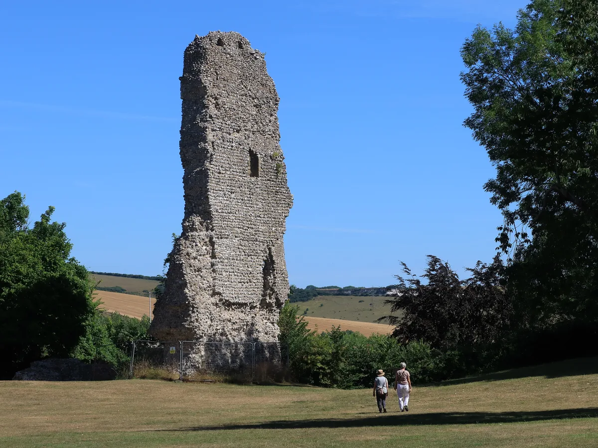
Bramber Castle
Bramber Castle — Norman castle in Bamber, West Sussex, England, UK.
 📷 3
📷 3Hill forts · South East England
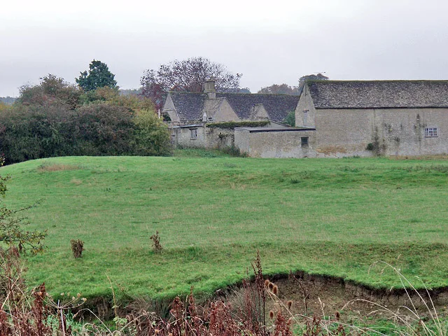
Ascot d'Oilly Castle
Ascot d'Oilly Castle — castle in Oxfordshire, England, UK.
 📷 5
📷 5Hill forts · South West England
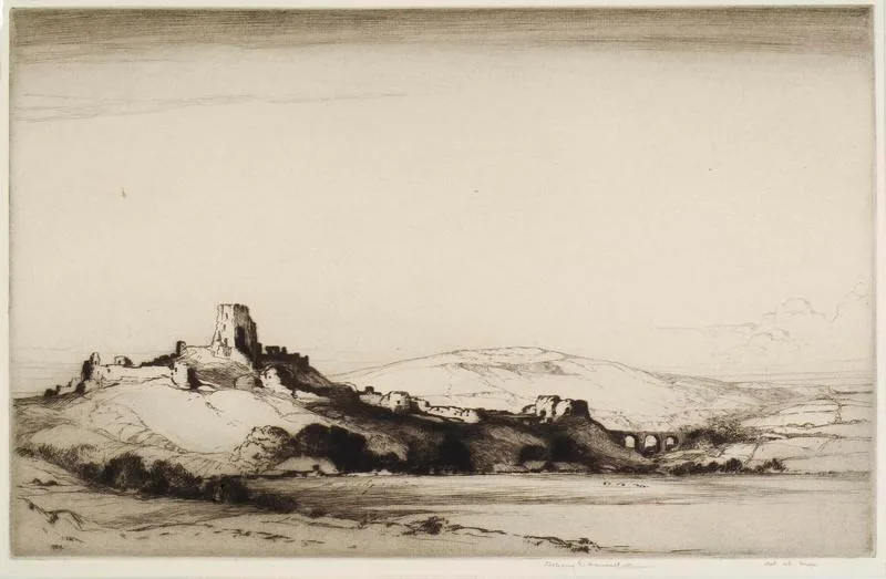
Corfe Castle
Corfe Castle — fortification in Dorset, England, UK.
More places in this region
 📷 3
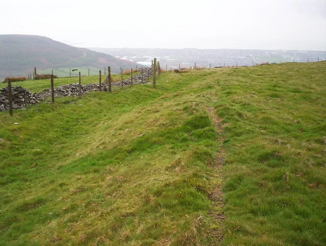
📷 3Hill forts · South Wales
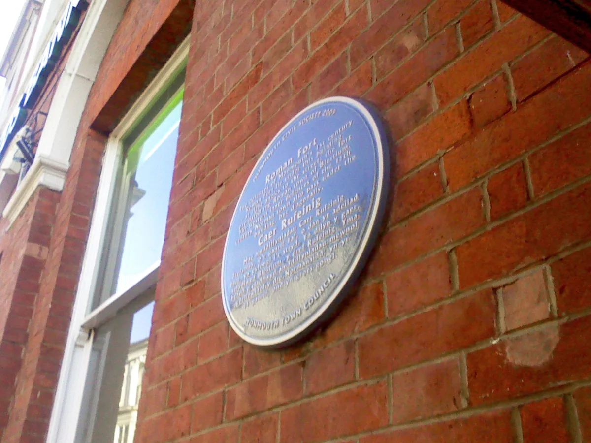
Blestium
Blestium — archaeological site in Monmouth, Wales, UK.
 📷 3
📷 3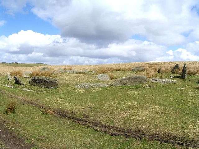 📷 3
📷 3Hill forts · South Wales
Carn Llechart
Carn Llechart — archaeological site in Neath Port Talbot County Borough, Wales, UK.
 📷 3
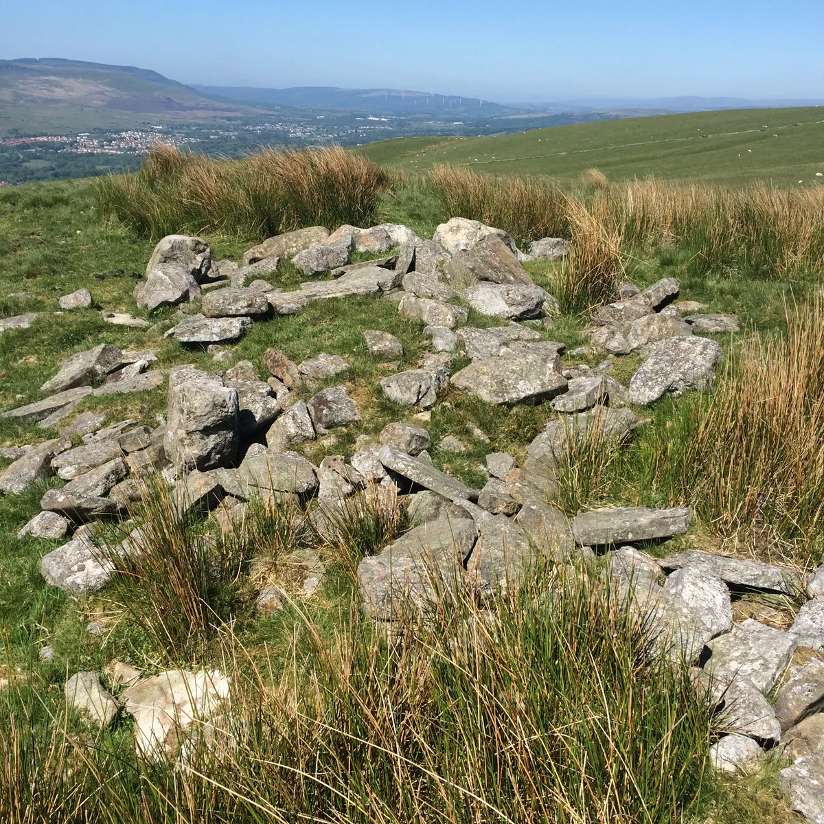
📷 3Hill forts · South Wales
Carn Pentyle-Hir & Adjacent Round Cairn
Carn Pentyle-Hir & Adjacent Round Cairn — archaeological site in Rhondda Cynon Taf, Wales, UK.
Frequently asked questions
- Where is Newport Medieval Ship?
- Newport Medieval Ship is in South Wales, United Kingdom (postcode NP20 1HG), in the parish of Stow Hill.
- What is Newport Medieval Ship?
- Newport Medieval Ship — 1449 Welsh sailing ship.
- How do I get to Newport Medieval Ship?
- The nearest railway station is Newport, about 0.5 km away. Drivers can use postcode NP20 1HG.
- When was Newport Medieval Ship built?
- Built or established in 1457.
- Is Newport Medieval Ship a protected site?
- Yes — Newport Medieval Ship is part of the Severn Estuary SSSI Site of Special Scientific Interest.
- Is Newport Medieval Ship free to visit?
- Yes, Newport Medieval Ship is free to enter.
- How do I get to Newport Medieval Ship?
- The nearest railway station is Newport, about 0.5 km away. Drivers can navigate to postcode NP20 1HG.