Mountains & hills · Central Scotland
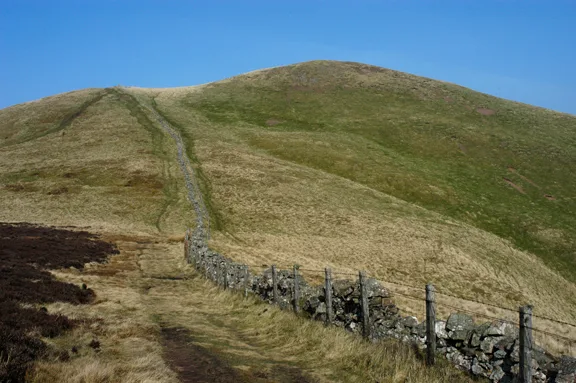
Neilston Pad
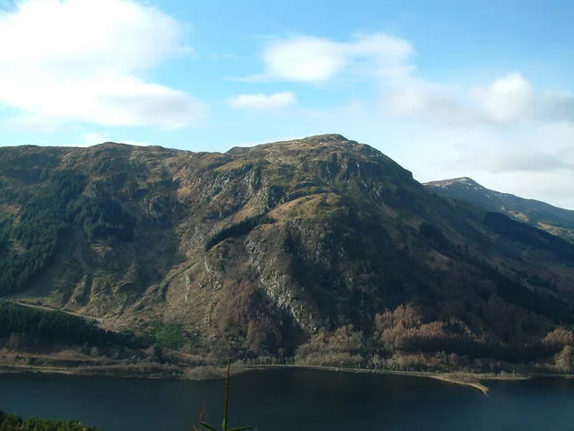
Neilston Pad — Named summit at 261 m.

Wikimedia Commons contributors — see linked file page for photographer and licence licence
Plan your visit
- Typical visit
- 3 h–8 h
- Best time of year
- Late spring – early autumn (May–Oct)
- Nearest railway station
- Neilston · 1.9 km
- Free entry
- Dog-friendly
About
Neilston Pad is a named summit in the United Kingdom. Wikidata describes it as: "Named summit at 261 m.". Coordinates: 55.7655°, -4.4297°.
Photo gallery
From the Wikipedia article
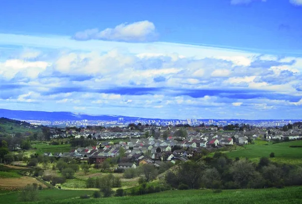
Neilston Pad, referred to locally as The Pad, is a distinctive hill in East Renfrewshire, situated a mile (1.5 km) south of the village of Neilston. Its highest point is 261 metres (856 ft) and is characterised by a relatively flat summit plateau surrounded by steep slopes and distinctive forestry on its eastern side. Its odd shape and prominence make it easily identifiable and visible from many areas in Glasgow. The area was managed by Elderslie Estates from the 1990s until it was sold to a private buyer or consortium in 2021.
Excerpt from Wikipedia under CC BY-SA 4.0. See the source article linked in Sources below.
- Coordinates
- 55.7655, -4.4297
- District
- East Renfrewshire
- Postcode
- G78 3DL
- Parliamentary constituency
- East Renfrewshire
- Nearest railway station
- Neilston — 1.9 km
Sources
- osm: n5308228230 (ODbL)
- wikipedia: Neilston Pad (CC BY-SA 4.0)
- commons: Neilston Pad Wood - geograph.org.uk - 1519630.jpg (CC BY-SA 4.0)
Other places nearby
Loading nearby places…
Nearby
 📷 3
📷 3Memorials & monuments · Central Scotland
Neilston War Memorial
Neilston War Memorial — a memorial in scotland-central, United Kingdom.
 Flagship📷 3
Towns & cities · Central Scotland
Neilston
Neilston — village in East Renfrewshire, Scotland, UK.
 📷 3
📷 3Memorials & monuments · Central Scotland
John Robertson Memorial
John Robertson Memorial — a memorial in scotland-central, United Kingdom.
📷 3Memorials & monuments · Central Scotland
3rd Renfrew Volunteers, South African War Memorial
3rd Renfrew Volunteers, South African War Memorial — a memorial in scotland-central, United Kingdom.
 📷 5
📷 5Gardens · Central Scotland
Cowden Hall
Cowden Hall — a garden in scotland-central, United Kingdom.
 📷 5
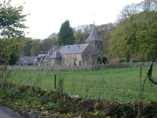
📷 5Historic churches · Central Scotland
Neilston Parish Church, Main Street, Neilston
Neilston Parish Church, Main Street, Neilston — category B listed building-listed church in scotland-central, United Kingdom.
More mountains in this region
 📷 3
📷 3Mountains & hills · Central Scotland
Abbey Hill
Abbey Hill — Named summit at 278 m.
 📷 3
📷 3Mountains & hills · Central Scotland
Aberlady Bay
Aberlady Bay — bay on the north coast of East Lothian, Scotland, UK.
 📷 3
📷 3Mountains & hills · Central Scotland
Allermuir Hill
Allermuir Hill — Named summit at 493 m.
 📷 3
📷 3Mountains & hills · Central Scotland
Ardnandave
Ardnandave — Named summit at 715 m.
Frequently asked questions
- Where is Neilston Pad?
- Neilston Pad is in central Scotland, United Kingdom (postcode G78 3DL).
- Is Neilston Pad free to visit?
- Yes, Neilston Pad is free to enter.
- How do I get to Neilston Pad?
- The nearest railway station is Neilston, about 1.9 km away. Drivers can navigate to postcode G78 3DL.