
Stately homes · Yorkshire & the Humber
Nappa Hall
In or near Cubeck.
Nappa Hall — Grade I listed manor house in Richmondshire, United Kingdom.

Wikimedia Commons contributors — see linked file page for photographer and licence licence

Plan your visit
- Typical visit
- 2 h–4 h
- Nearest railway station
- Redmire · 8.2 km
- Family-friendly
- Limited wheelchair access
Getting there & planning your visit
To visit Nappa Hall, the nearest railway station is Redmire, located 8.2 km away. Entry details are not specified, and wheelchair accessibility is limited. The postcode for sat-nav is DL8 3JZ.
About
Nappa Hall is a stately home in the United Kingdom. Heritage designation: Grade I listed building. Wikidata describes it as: "Grade I listed manor house in Richmondshire, United Kingdom". Coordinates: 54.3130°, -2.0550°.
Photo gallery
Heritage listing
Nappa Hall is a fortified manor house in Wensleydale, North Yorkshire, England, described by English Heritage as "probably the finest and least-spoilt fortified manor house in the north of England". It stands 1-mile (1.6 km) east of Askrigg, overlooking pastures leading down to the River Ure. A single-storey central hall sits between two towers, a four-storey western tower and a two-storey eastern tower. The four-storey tower has a turret, lit by slit vents, for a spiral staircase that climbs to crenellated parapets. The taller tower retains its original windows, but sash windows were inserted in the 18th century in the lower two-storey block which housed the kitchen and service rooms, at the opposite end of the hall. In the 17th century, an extra wing was added.
From the Historic England List Entry under OGL v3.
Protected designations
- Site of Special Scientific Interest: Lovely Seat - Stainton Moor SSSI
Designations sourced from Natural England open data under OGL v3.
From the Wikipedia article
Nappa Hall is a fortified manor house in Wensleydale, North Yorkshire, England, described by English Heritage as "probably the finest and least-spoilt fortified manor house in the north of England". It stands 1-mile (1.6 km) east of Askrigg, overlooking pastures leading down to the River Ure. A single-storey central hall sits between two towers, a four-storey western tower and a two-storey eastern tower. The four-storey tower has a turret, lit by slit vents, for a spiral staircase that climbs to crenellated parapets. The taller tower retains its original windows, but sash windows were inserted in the 18th century in the lower two-storey block which housed the kitchen and service rooms, at the opposite end of the hall. In the 17th century, an extra wing was added. The battlements are served by a single stair consisting of 70 stone steps. Nappa Hall is a Grade I listed building.
Excerpt from Wikipedia under CC BY-SA 4.0. See the source article linked in Sources below.
- Coordinates
- 54.3130, -2.0550
- District
- North Yorkshire
- Parish
- Askrigg
- Postcode
- DL8 3JZ
- Parliamentary constituency
- Richmond and Northallerton
- Nearest railway station
- Redmire — 8.2 km
Sources
- wikidata: Q17538264 (CC0)
- wikipedia: Nappa Hall (CC BY-SA 4.0)
- commons: Nappa Hall near Askrigg - geograph.org.uk - 451674.jpg (CC BY-SA 4.0)
Other places nearby

Disher Force
Waterfalls · 1.6 km

Cubeck
Towns & cities · 1.6 km

Skeldale House
Gardens · 1.7 km
Market Cross
Memorials & monuments · 1.7 km

Askrigg Camping
Campsites · 1.9 km

Ellerkin
Mountains & hills · 1.9 km

Woodhall Greets
Mountains & hills · 2.2 km
_(geograph_7310013).jpg?width=1200)
West Mill
Mills · 2.2 km

Thackthwaite Beck Cave
Caves · 2.2 km

St. Restitutus Chapel
Archaeological sites · 2.3 km

Lady Hill
Mountains & hills · 2.4 km

Mill Gill Force
Natural landmarks · 2.7 km
Nearby
📷 5📷 3Towns & cities · Yorkshire & the Humber
Cubeck
Cubeck — village in North Yorkshire, England, UK.
📷 4Gardens · Yorkshire & the Humber
Skeldale House
Skeldale House — a garden in england-north-west, United Kingdom.
Memorials & monuments · Yorkshire & the Humber
Market Cross
Market Cross — a memorial in england yorkshire.
📷 5Campsites · Yorkshire & the Humber
Askrigg Camping
Askrigg Camping — a campsite in england north west.
📷 5Mountains & hills · Yorkshire & the Humber
Ellerkin
Ellerkin — mountain in england north west. Elevation: 520 m.
Where to eat & stay near Nappa Hall
Places to stay
📷 5Campsites · Yorkshire & the Humber
Askrigg Camping
Askrigg Camping — a campsite in england north west.
 📷 5
📷 5Campsites · Yorkshire & the Humber
Streethead Caravan Park
Streethead Caravan Park — a campsite in england north west.
📷 7B&Bs · Yorkshire & the Humber
The Street Head Inn
The Street Head Inn — a bed-and-breakfast in england north west.
 📷 5
📷 5Caravan parks · Yorkshire & the Humber
Aysgarth Lodge Holidays
Aysgarth Lodge Holidays — a caravan park in england yorkshire.
 📷 5
📷 5Campsites · Yorkshire & the Humber
Swan Farm Camp Site
Swan Farm Camp Site — a campsite in england yorkshire.
 📷 5
📷 5Campsites · Yorkshire & the Humber
Stablefell Camping
Stablefell Camping — a campsite in england north west.
Places to eat & drink
 📷 5
📷 5Historic pubs · Yorkshire & the Humber
Kings Head Inn
Kings Head Inn in England North West, United Kingdom.
 📷 7
📷 7Historic pubs · Yorkshire & the Humber
Fox And Hounds Inn
Fox And Hounds Inn in England Yorkshire, United Kingdom.
 📷 5
📷 5Historic pubs · Yorkshire & the Humber
Foresters Arms Inn
Foresters Arms Inn in England Yorkshire, United Kingdom.
 📷 5
📷 5 📷 7
📷 7Cafés · Yorkshire & the Humber
Kim's Cafe & Bistro
Kim's Cafe & Bistro — a café in england yorkshire.
 📷 5
📷 5Restaurants · Yorkshire & the Humber
The Sandpiper Inn
The Sandpiper Inn — a restaurant in england yorkshire.
More places in this region
 📷 3
📷 3Stately homes · Yorkshire & the Humber
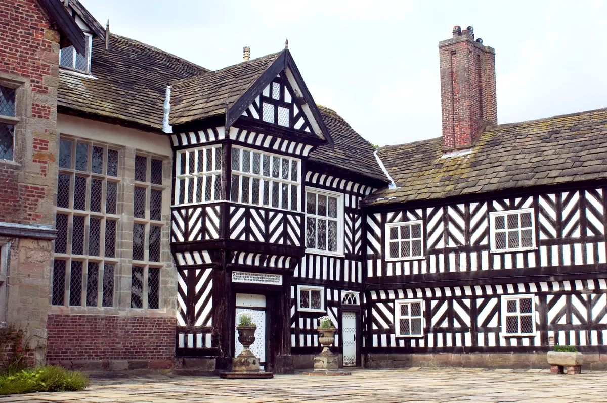
Adlington Hall
Adlington Hall — country house in Cheshire, England, UK.
 Flagship📷 3
Stately homes · Yorkshire & the Humber
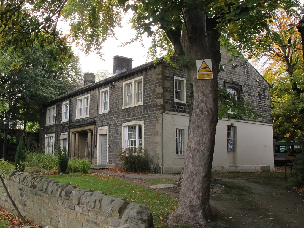
259, Upper Town Street
259, Upper Town Street — manor house in Leeds, West Yorkshire, England, UK.
 Flagship📷 3
Stately homes · Yorkshire & the Humber
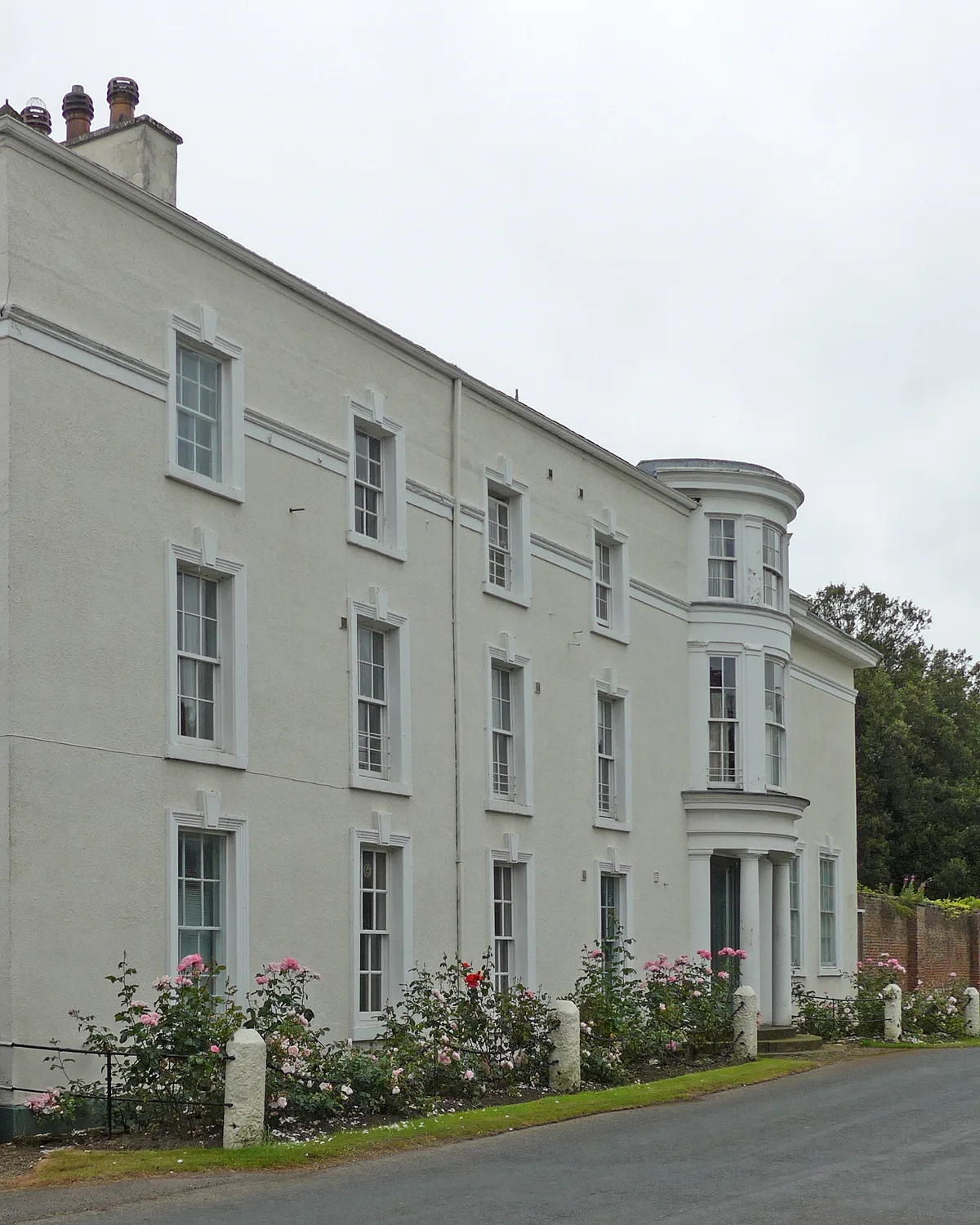
Aldborough Manor
Aldborough Manor — manor house in Boroughbridge, Harrogate, North Yorkshire, England, UK.
 📷 3
📷 3Stately homes · Yorkshire & the Humber
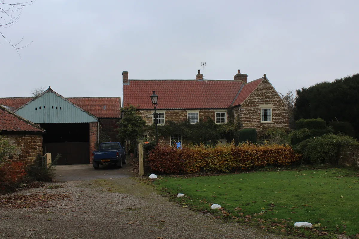
Baxby Manor
Baxby Manor — manor house in Husthwaite, Hambleton, North Yorkshire, England, UK.
Frequently asked questions
- Where is Nappa Hall?
- Nappa Hall is in Yorkshire, United Kingdom (postcode DL8 3JZ), in the parish of Askrigg.
- What is Nappa Hall?
- Nappa Hall — Grade I listed manor house in Richmondshire, United Kingdom.
- How do I get to Nappa Hall?
- The nearest railway station is Redmire, about 8.2 km away. The nearest town is Cubeck. Drivers can use postcode DL8 3JZ.
- Is Nappa Hall a listed building?
- Nappa Hall is officially recognised as Grade I listed building listed.
- Is Nappa Hall a protected site?
- Yes — Nappa Hall is part of the Lovely Seat - Stainton Moor SSSI Site of Special Scientific Interest.
- How do I get to Nappa Hall?
- Drivers can navigate to postcode DL8 3JZ. It sits within the Richmond and Northallerton parliamentary constituency.