
Reservoirs & lochs · Mid Wales
Nant-y-moch Reservoir
Also known as: Cronfa Nant-y-moch
Nant-y-moch Reservoir — reservoir in the United Kingdom.

Wikimedia Commons contributors — see linked file page for photographer and licence licence

Plan your visit
- Typical visit
- 1 h–2.5 h
- Nearest railway station
- Rheidol Falls · 9.5 km
- Free entry
- Dog-friendly
Getting there & planning your visit
To visit Nant-y-moch Reservoir, the nearest railway station is Rheidol Falls, located 9.5 km away. Entry to the reservoir is free.
About
Nant-y-moch Reservoir is a reservoir in the United Kingdom. Managed by Statkraft AS. Wikidata describes it as: "reservoir in the United Kingdom". Coordinates: 52.4681°, -3.8394°.
Photo gallery
From the Wikipedia article
Nant-y-moch Reservoir () is situated in the Cambrian Mountains in northern Ceredigion, Wales, near Pumlumon. The reservoir which flooded a part of the valley of the River Rheidol and its headwaters derives its name from a stream, the Nant-y-moch (in English = the pigs stream,), which formerly flowed into the River Rheidol at this spot. The dam is about three miles north of the village of Ponterwyd. The reservoir forms part of the Cwm Rheidol hydroelectric power scheme and the headwaters of the reservoir include the source of the River Rheidol. The Nant-y-moch component of the hydroelectric scheme has an installed capacity of 13 MW generated as the water from Nant-y-moch enters Dinas Reservoir.
Excerpt from Wikipedia under CC BY-SA 4.0. See the source article linked in Sources below.
Background
History
Nant-y-moch Reservoir was created in 1964. The construction of the dam flooded the valley north of it, which included the hamlet of Nant-y-moch. The contents of the graveyard which was to be submerged were relocated to the chapel at Ponterwyd, and a number of cairns were painstakingly moved, some of which dated back as far as the Iron Age.
Sourced from Wikipedia under CC BY-SA 4.0.
- Coordinates
- 52.4681, -3.8394
- Address
- Cambrian Mountains, Wales
- Nearest railway station
- Rheidol Falls — 9.5 km
Sources
- wikidata: Q6964263 (CC0)
- wikipedia: Nant-y-moch Reservoir (CC BY-SA 4.0)
- commons: Nant y Moch dam Dec 31 2004.JPG (CC BY-SA 4.0)
Other places nearby

Yr Helfa Las
Mountains & hills · 1.0 km

Mwyngloddfa Brynyrafr
Natural landmarks · 1.0 km

Bryn Gwyn
Mountains & hills · 1.0 km
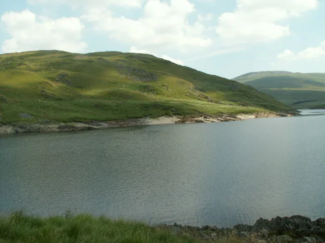
Drosgol
Mountains & hills · 1.1 km

Llechwedd Gwynau
Mountains & hills · 1.6 km

Cefn yr Esgair
Mountains & hills · 1.6 km

Capel Sbaen/Tabor y Mynydd
Memorials & monuments · 2.1 km
Capel Sbaen
Historic houses · 2.1 km

Cerrig yr Hafan
Mountains & hills · 2.2 km

Bryniau Rhyddion
Mountains & hills · 2.4 km

Maesnant Centre
Hostels · 2.5 km

Mwyngloddfa Nant-y-cagl
Natural landmarks · 2.6 km
Nearby
📷 3Mountains & hills · Mid Wales
Yr Helfa Las
Yr Helfa Las — a mountain in wales-mid, United Kingdom, 411 m.
📷 3Natural landmarks · Mid Wales
Mwyngloddfa Brynyrafr
Mwyngloddfa Brynyrafr in Wales Mid, United Kingdom.
📷 5📷 3📷 3Mountains & hills · Mid Wales
Llechwedd Gwynau
Llechwedd Gwynau — a mountain in wales-mid, United Kingdom, 446 m.
📷 3Mountains & hills · Mid Wales
Cefn yr Esgair
Cefn yr Esgair — a mountain in wales-mid, United Kingdom, 451 m.
Where to eat & stay near Nant-y-moch Reservoir
Places to stay
📷 5 📷 7
📷 7Hotels · Mid Wales
George Borrow Hotel
George Borrow Hotel — a hotel in wales mid.
 📷 5
📷 5Caravan parks · Mid Wales
Tynyffordd Fach Caravan Park
Tynyffordd Fach Caravan Park — a caravan park in wales mid.
 📷 5
📷 5 📷 5
📷 5Caravan parks · Mid Wales
Erwbarfe Farm Caravan Park
Erwbarfe Farm Caravan Park — a caravan park in wales mid.
 📷 5
📷 5Places to eat & drink
 📷 5
📷 5Cafés · Mid Wales
Llywernog Silver Lead Mine
Llywernog Silver Lead Mine — a café in wales mid.
 📷 7
📷 7 📷 5
📷 5Restaurants · Mid Wales
The White Lion Hotel
The White Lion Hotel — a restaurant in wales mid.
 📷 5
📷 5 📷 6
📷 6More places run by Statkraft AS
 📷 3
📷 3Reservoirs & lochs · Mid Wales
Dinas Reservoir
Dinas Reservoir — reservoir in Ceredigion, Wales, UK.
More places in this region
 📷 3
📷 3Reservoirs & lochs · Mid Wales
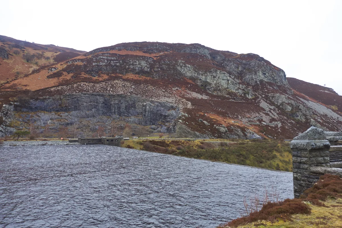
Caban-côch Reservoir
Caban-côch Reservoir — reservoir in Powys, Wales, UK.
 📷 3
📷 3Reservoirs & lochs · Mid Wales
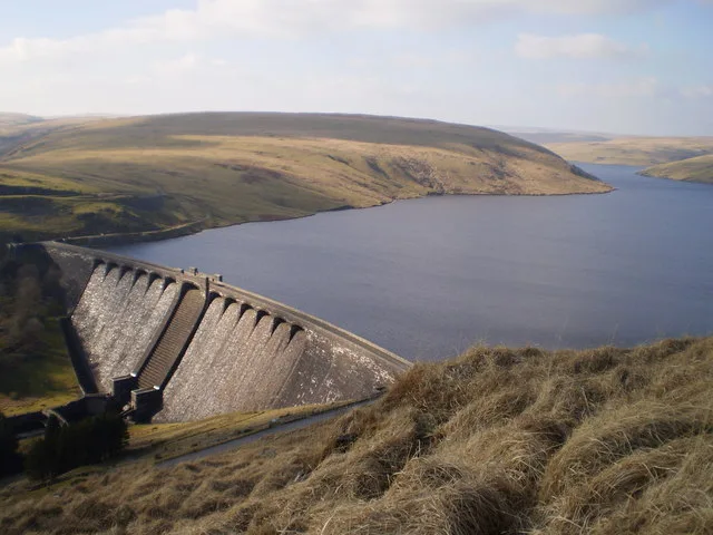
Claerwen Reservoir
Claerwen Reservoir — reservoir in Powys, Wales.
 📷 5
📷 5Reservoirs & lochs · Mid Wales
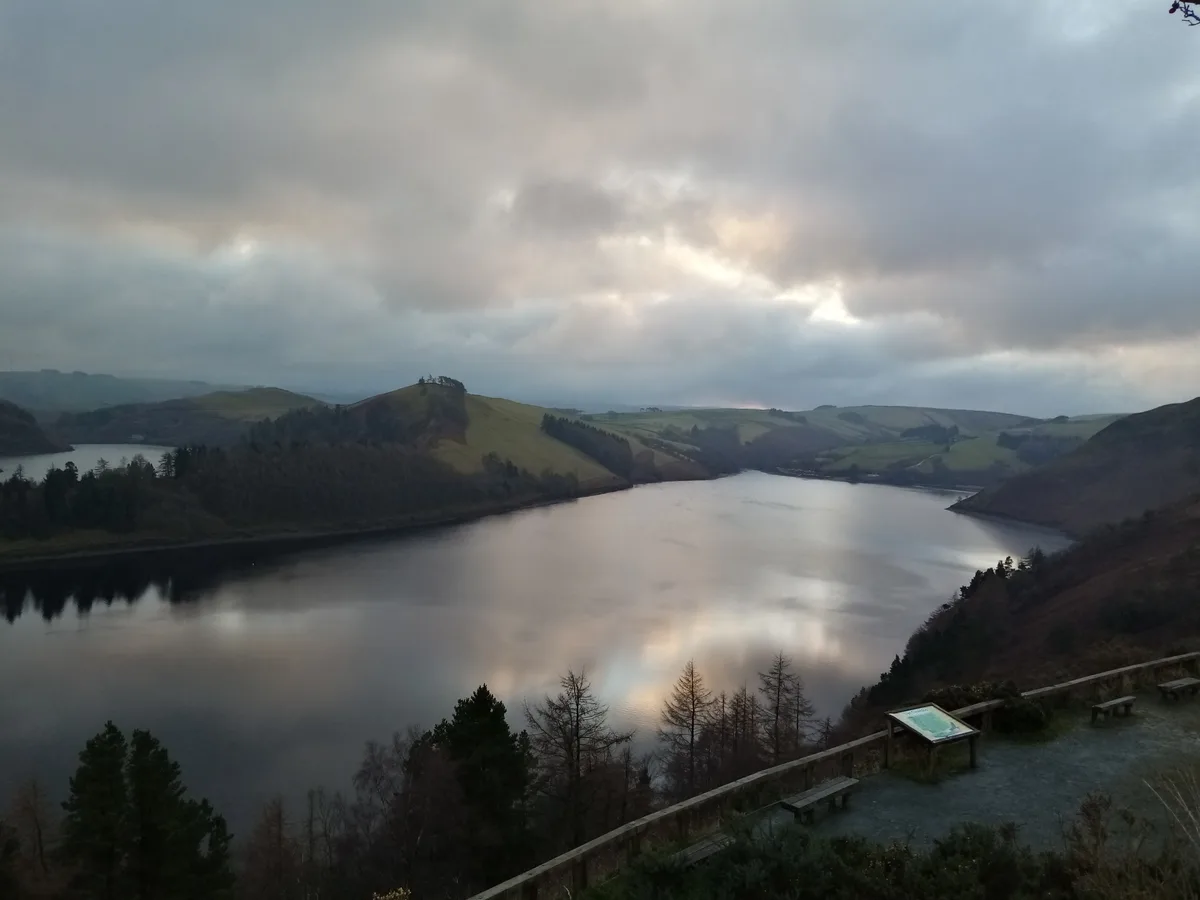
Clywedog Reservoir
Clywedog Reservoir — reservoir in Powys, Wales, UK.
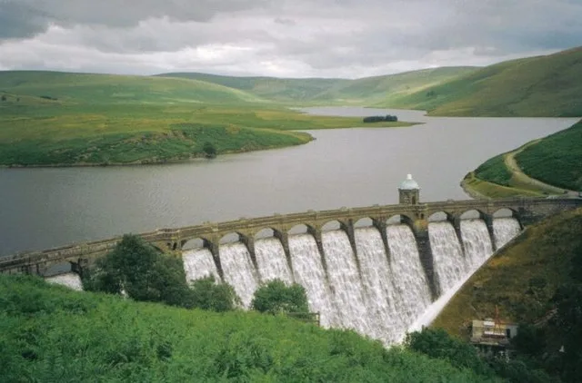 📷 3
📷 3Reservoirs & lochs · Mid Wales
Craig Goch Reservoir
Craig Goch Reservoir — reservoir near Rhayader, Powys, Wales, UK.
Frequently asked questions
- Where is Nant-y-moch Reservoir?
- Nant-y-moch Reservoir is in Mid Wales, United Kingdom.
- What is Nant-y-moch Reservoir?
- Nant-y-moch Reservoir — reservoir in the United Kingdom.
- How do I get to Nant-y-moch Reservoir?
- The nearest railway station is Rheidol Falls, about 9.5 km away. Its coordinates are 52.4681°, -3.8394°.
- Who runs Nant-y-moch Reservoir?
- Nant-y-moch Reservoir is operated by Statkraft AS.
- Is Nant-y-moch Reservoir free to visit?
- Yes, Nant-y-moch Reservoir is free to enter.