
Mountains & hills · South East England
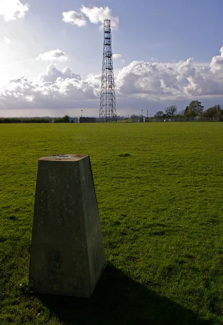
Nan Trodd's Hill
In or near Winchester.
Nan Trodd's Hill — mountain in england south east. Elevation: 145 m.

David Howard — CC BY-SA 2.0 via Wikimedia Commons licence

Plan your visit
- Typical visit
- 3 h–8 h
- Best time of year
- Late spring – early autumn (May–Oct)
- Nearest railway station
- Shawford · 4.0 km
- Dog-friendly
About
Nan Trodd's Hill is a mountain located in england south east. Elevation: 145 m. A named British peak recorded in OpenStreetMap. Peaks are typically named on Ordnance Survey 1:50k mapping.
Photo gallery
Protected designations
- Site of Special Scientific Interest: River Test SSSI
Designations sourced from Natural England open data under OGL v3.
Place summary
Nan Trodd's Hill is a mountain located in South-East England. It offers a natural landscape suitable for various outdoor activities, including hiking and walking. Visitors can expect panoramic views of the surrounding countryside, making it a notable spot for those interested in the region's topography.
AI-generated from the structured facts on this page (operator, designation, listing, era). Not a substitute for visiting.
- Coordinates
- 51.0396, -1.3785
- County
- Hampshire
- District
- Winchester
- Parish
- Hursley
- Postcode
- SO21 2UZ
- Parliamentary constituency
- Winchester
- Nearest railway station
- Shawford — 4 km
Sources
- osm: n3739312544 (ODbL)
Other places nearby

Merdon Castle
Castles · 1.6 km

Merdon Castle
Literary houses · 1.6 km

Yew Hill
Mountains & hills · 1.7 km

Hursley
Villages · 1.8 km

Heathcote Memorial
Follies · 1.9 km

Pitt
Villages · 2.0 km

South Lynch House
Manor houses · 2.0 km

Oliver Cromwell's Battery
Mountains & hills · 2.4 km

Oliver Cromwell's Battery
Archaeological sites · 2.4 km
Oliver Cromwell's Battery
Archaeological sites · 2.4 km

Violet Hill
Mountains & hills · 2.4 km

Merdon Manor
Manor houses · 2.6 km
Nearby
📷 5Castles · South East England
Merdon Castle
Merdon Castle — a castle in South East England, United Kingdom.
📷 5Literary houses · South East England
Merdon Castle
Merdon Castle — a literary house museum in england south east.
📷 5Mountains & hills · South East England
Yew Hill
Yew Hill — mountain in england south east. Elevation: 134 m.
📷 5📷 3Follies · South East England
Heathcote Memorial
Heathcote Memorial is a folly in the United Kingdom.
📷 5Where to eat & stay near Nan Trodd's Hill
Places to stay
 📷 5
Hotels · South East England
Lainston House Hotel
Lainston House Hotel — a hotel in england south east.
 📷 5
Caravan parks · South East England
King Edward Park(private)
King Edward Park(private) — a caravan park in england south east.
 📷 5
Hotels · South East England
Winchester Royal Hotel
Winchester Royal Hotel — a hotel in england south east.
 📷 6
Hotels · South East England
The Winchester Hotel
The Winchester Hotel — a hotel in england south east.
 📷 5
Campsites · South East England
Three Trees Campsite
Three Trees Campsite — a campsite in england south east.
 📷 5
Places to eat & drink
 📷 7
Historic pubs · South East England
The Bell Inn Public House
The Bell Inn Public House in England South East, United Kingdom.
 📷 7
Historic pubs · South East England
Wykeham Arms
Wykeham Arms in England South East, United Kingdom.
 📷 5
 📷 7
 📷 5
Historic pubs · South East England
The Old Vine
The Old Vine — Historic pub — listed building or notable heritage status.
 📷 6
Restaurants · South East England
The Winchester Orangery
The Winchester Orangery — a restaurant in england south east.
More mountains in this region
 📷 5
 📷 5
Mountains & hills · South East England
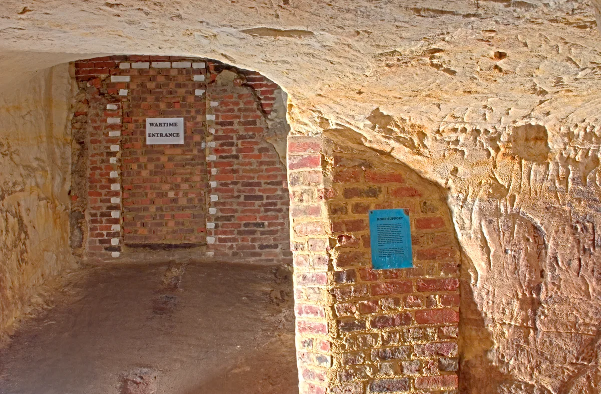
Reigate Caves
Reigate Caves is a mountain or hill in the United Kingdom.
 📷 5
Mountains & hills · South East England
North Downs
North Downs — a hill or mountain in england london.
 📷 5
Mountains & hills · South East England
Blue Bell Hill
Blue Bell Hill — a hill or mountain in england london.
Frequently asked questions
- Where is Nan Trodd's Hill?
- Nan Trodd's Hill is in Hampshire, South-East England, United Kingdom (postcode SO21 2UZ), in the parish of Hursley.
- What is Nan Trodd's Hill?
- Nan Trodd's Hill — mountain in england south east. Elevation: 145 m.
- How do I get to Nan Trodd's Hill?
- The nearest railway station is Shawford, about 4.0 km away. The nearest town is Winchester. Drivers can use postcode SO21 2UZ.
- Is Nan Trodd's Hill a protected site?
- Yes — Nan Trodd's Hill is part of the River Test SSSI Site of Special Scientific Interest.
- How do I get to Nan Trodd's Hill?
- The nearest railway station is Shawford, about 4.0 km away. Drivers can navigate to postcode SO21 2UZ.