Historic houses · South West England
Myrtlebury North Iron Age Enclosure
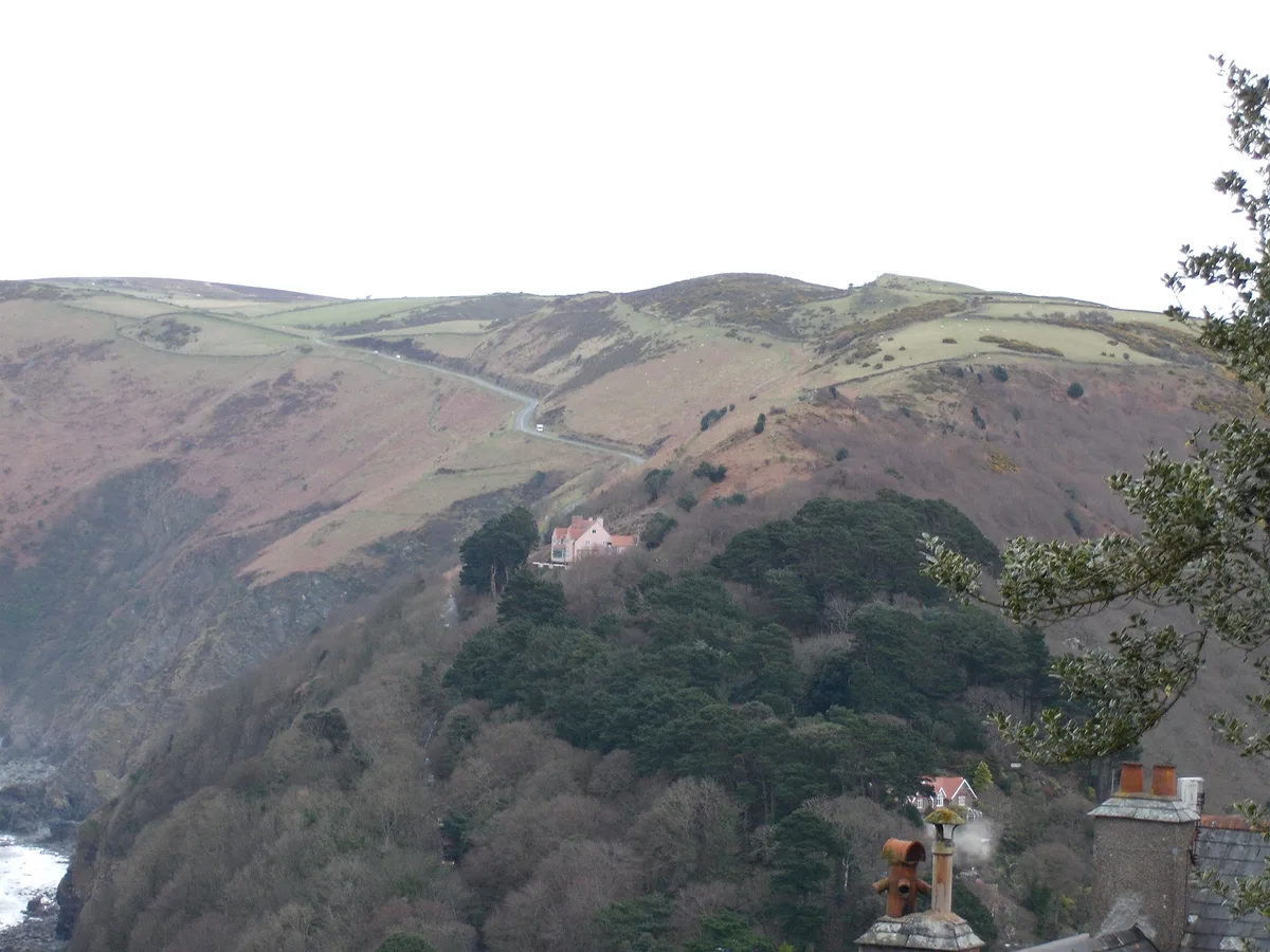
In or near Lynmouth.
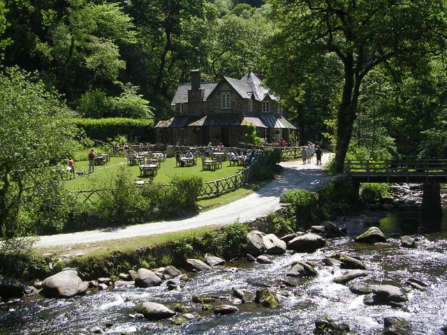
Myrtlebury North Iron Age Enclosure — a historic house in england-south-west, United Kingdom.

PAUL FARMER — CC BY-SA 2.0 via Wikimedia Commons licence
Plan your visit
- Typical visit
- 1 h–2 h
- Nearest railway station
- Lynmouth Bay · 2.3 km
- Family-friendly
- Limited wheelchair access
About
Myrtlebury North Iron Age Enclosure is a historic house located in england-south-west, United Kingdom. Sourced from OpenStreetMap (ODbL licence); see local listings for visitor information, opening hours and admission details.
Photo gallery
Protected designations
- Site of Special Scientific Interest: Watersmeet SSSI
- Site of Special Scientific Interest: Exmoor Coastal Heaths SSSI
Designations sourced from Natural England open data under OGL v3.
Place summary
Myrtlebury North Iron Age Enclosure is a historic site located in South-West England. This enclosure dates back to the Iron Age and is significant for its archaeological value. It offers insights into early settlement patterns and fortification methods of the era.
AI-generated from the structured facts on this page (operator, designation, listing, era). Not a substitute for visiting.
- Coordinates
- 51.2242, -3.8018
- County
- Devon
- District
- North Devon
- Parish
- Brendon and Countisbury
- Postcode
- EX35 6NT
- Parliamentary constituency
- North Devon
- Nearest railway station
- Lynmouth Bay — 2.3 km
Sources
- osm: way/71810459 (ODbL)
Other places nearby

Myrtlebury North Iron Age Enclosure
Archaeological sites · 0.0 km
Myrtleberry North Camp, a late prehistoric multiple enclosure fort 200m north west of Waters Meet House
Vineyards · 0.0 km

Hoar Oak Water
Museums · 0.2 km
Watersmeet House
Historic houses · 0.2 km

South Myrtelbury Iron Age Enclosure
Historic houses · 0.5 km
Wind Hill
Mountains & hills · 0.6 km

Earthwork defences of Countisbury Castle promontory fort
Vineyards · 0.7 km

Countisbury
Villages · 0.9 km
National Trust bunkhouse
Hostels · 0.9 km

The Blue Ball Inn
Historic pubs · 1.0 km

Butter Hill
Mountains & hills · 1.4 km

Lynmouth Bay
Natural landmarks · 1.7 km
Nearby
📷 5Archaeological sites · South West England
Myrtlebury North Iron Age Enclosure
Myrtlebury North Iron Age Enclosure — archaeological in england south west.
📷 5Vineyards · South West England
Myrtleberry North Camp, a late prehistoric multiple enclosure fort 200m north west of Waters Meet House
Myrtleberry North Camp, a late prehistoric multiple enclosure fort 200m north west of Waters Meet House — a UK vineyard in england south west, producing English or Welsh wine from cool-climate grape varieties.
📷 5Museums · South West England
Hoar Oak Water
Hoar Oak Water is a moorland tributary of the East Lyn River in Exmoor, Somerset, England. It rises at Hoaroak Hill in the Chains geological site and flows to Watersmeet in the East Lyn Valley in Devo
📷 5Historic houses · South West England
Watersmeet House
Watersmeet House — house in Countisbury, Devon, England, UK.
📷 3Historic houses · South West England
South Myrtelbury Iron Age Enclosure
South Myrtelbury Iron Age Enclosure — a historic house in england-south-west, United Kingdom.
📷 3Where to eat & stay near Myrtlebury North Iron Age Enclosure
Places to stay
📷 5Hostels · South West England
National Trust bunkhouse
National Trust bunkhouse — a hostel in england south west.
 📷 5
📷 5Caravan parks · South West England
Lynmouth Holiday Park
Lynmouth Holiday Park — a caravan park in england south west.
 📷 5
📷 5Hotels · South West England
Castle Hill Guest House
Castle Hill Guest House — a hotel in england south west.
 📷 5
📷 5Campsites · South West England
Sunny Lyn Holiday Park
Sunny Lyn Holiday Park — a campsite in england south west.
 📷 7
📷 7Hotels · South West England
Chough's Nest
Chough's Nest — a hotel in england south west.
 📷 2
📷 2Campsites · South West England
Leeford Farm Riverside Camping
Leeford Farm Riverside Camping — a campsite in england south west.
Places to eat & drink
📷 5Historic pubs · South West England
The Blue Ball Inn
The Blue Ball Inn in England South West, United Kingdom.
 📷 7
📷 7Historic pubs · South West England
Rock House Hotel
Rock House Hotel in England South West, United Kingdom.
 📷 7
📷 7Historic pubs · South West England
Rising Sun Hotel (Main Part)
Rising Sun Hotel (Main Part) in England South West, United Kingdom.
 📷 5
📷 5Historic pubs · South West England
Pack o' Cards
Pack o' Cards in England South West, United Kingdom.
 📷 5
📷 5Historic pubs · South West England
The London Inn
The London Inn in England South West, United Kingdom.
 📷 7
📷 7More historic houses in this region
 📷 5
📷 5Historic houses · South West England
1 South Parade
1 South Parade — Grade I listed house in Bath, Somerset, England, UK.
_(geograph_6440799).jpg?width=1200) 📷 5
📷 5Historic houses · South West England
1-4 Lansdowne Grove, Morris Lane
1-4 Lansdowne Grove, Morris Lane — houses in Devizes, Wiltshire, England, UK.
 📷 5
📷 5Historic houses · South West England
2 North Parade
2 North Parade — building in Bath, UK; part of Abbey Hotel.
 📷 5
📷 5Historic houses · South West England
2, South Place, Lacock Road
2, South Place, Lacock Road — house in Corsham, Wiltshire, England, UK.
Frequently asked questions
- Where is Myrtlebury North Iron Age Enclosure?
- Myrtlebury North Iron Age Enclosure is in Devon, South-West England, United Kingdom (postcode EX35 6NT), in the parish of Brendon and Countisbury.
- What is Myrtlebury North Iron Age Enclosure?
- Myrtlebury North Iron Age Enclosure — a historic house in england-south-west, United Kingdom.
- How do I get to Myrtlebury North Iron Age Enclosure?
- The nearest railway station is Lynmouth Bay, about 2.3 km away. Drivers can use postcode EX35 6NT.
- Is Myrtlebury North Iron Age Enclosure a protected site?
- Yes — Myrtlebury North Iron Age Enclosure is part of the Watersmeet SSSI Site of Special Scientific Interest and the Exmoor Coastal Heaths SSSI Site of Special Scientific Interest.
- How do I get to Myrtlebury North Iron Age Enclosure?
- The nearest railway station is Lynmouth Bay, about 2.3 km away. Drivers can navigate to postcode EX35 6NT.