Castles · Mid Wales
Mynyddbrydd Tump 2
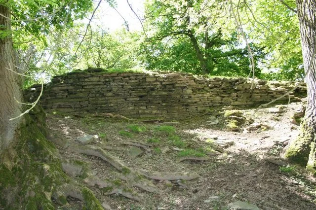
Mynyddbrydd Tump 2 — a castle in wales mid.

Philip Halling — CC BY-SA 2.0 via Wikimedia Commons licence
Plan your visit
- Typical visit
- 1.5 h–3 h
About
Mynyddbrydd Tump 2 is a named castle in wales mid, recorded in the GeoNames UK gazetteer. British landmarks of this type are typically marked on Ordnance Survey maps and recorded in the national gazetteer for cartographic and navigational reference. Coordinates and feature classification are sourced from the GeoNames open dataset.
Photo gallery
- Coordinates
- 52.0628, -3.0540
Sources
- manual: geonames-6286157 (CC BY 4.0)
Other places nearby
Loading nearby places…
Nearby

Literary houses · Mid Wales
Motte castle 230m north west of Nant-y-bar
Motte castle 230m north west of Nant-y-bar — a literary house museum in wales mid.
 📷 5
📷 5Castles · Mid Wales
Mynyddbrydd Tump 1
Mynyddbrydd Tump 1 — a castle in wales mid.
📷 4Literary houses · Mid Wales
Motte castle and associated occupation and agricultural remains at Mynydd-Brith
Motte castle and associated occupation and agricultural remains at Mynydd-Brith — a literary house museum in wales mid.
 📷 5
📷 5Mountains & hills · Mid Wales
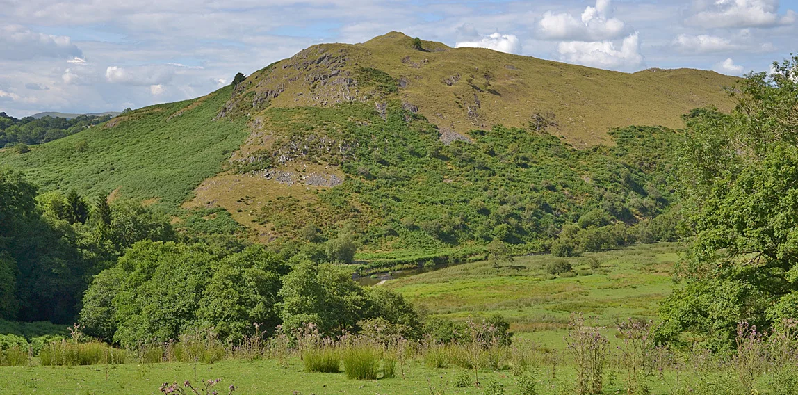
Little Mountain
Little Mountain — mountain in wales mid. Elevation: 303 m.
 📷 5
📷 5Mountains & hills · Mid Wales
Cefn Hill
Cefn Hill — mountain in wales mid. Elevation: 470 m.
 📷 5
📷 5Mountains & hills · Mid Wales
Cefn Hill
Cefn Hill — a hill or mountain in wales mid.
Where to eat & stay near Mynyddbrydd Tump 2
Places to stay
 📷 5
📷 5Caravan parks · Mid Wales
Dark Orchard CL Site
Dark Orchard CL Site — a caravan park in wales mid.
 📷 5
📷 5B&Bs · Mid Wales
Seven Stars
Seven Stars — a bed-and-breakfast in wales mid.
 📷 4
📷 4Campsites · Mid Wales
Walkers Cottage
Walkers Cottage — a campsite in wales mid.
 📷 5
📷 5Campsites · Mid Wales
Locksters Pool Camping
Locksters Pool Camping — a campsite in wales mid.
 📷 5
📷 5Hotels · Mid Wales
The Swan at Hay
The Swan at Hay — a hotel in wales mid.
 📷 5
📷 5Campsites · Mid Wales
Riverside Glamping by the Wye
Riverside Glamping by the Wye — a campsite in wales mid.
Places to eat & drink
 📷 3
📷 3Historic pubs · Mid Wales
Pengenffordd
Pengenffordd in Wales Mid, United Kingdom.
 📷 4
📷 4Historic pubs · Mid Wales
Ye Olde Tavern
Ye Olde Tavern in Wales Mid, United Kingdom.
 📷 4
📷 4Historic pubs · Mid Wales
The Stagg Inn
The Stagg Inn in Wales Mid, United Kingdom.
 📷 5
📷 5Historic pubs · South Wales
Skirrid Mountain Inn
Skirrid Mountain Inn — Historic pub — listed building or notable heritage status.
 📷 5
📷 5Historic pubs · South Wales
Black Swan
Black Swan — Historic pub — listed building or notable heritage status.
 📷 5
📷 5Restaurants · South Wales
Red Indigo
Red Indigo — a restaurant in wales south.
More castles in this region
 📷 3
📷 3Castles · Mid Wales
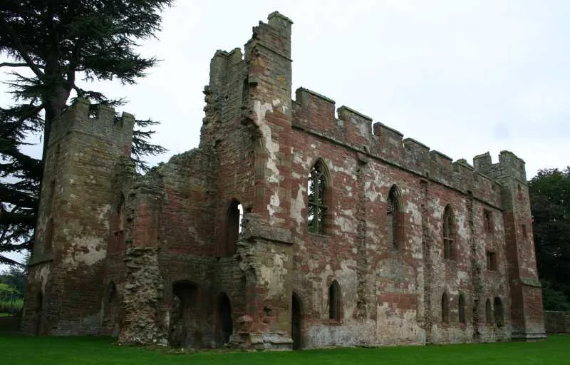
Acton Burnell Castle
Acton Burnell Castle — Grade I listed castle in Shropshire, England, UK.
 📷 3
📷 3Castles · Mid Wales
Cefnllys Castle
Cefnllys Castle — medieval castle in Powys, Wales, UK.
 📷 3
📷 3Castles · Mid Wales
Aberdyfi Castle
Aberdyfi Castle — ruined castle in Ceredigion, Wales, UK.
 📷 3
📷 3Castles · Mid Wales
Aberedw Castle
Aberedw Castle — scheduled monument in Wales.
Frequently asked questions
- Where is Mynyddbrydd Tump 2?
- Mynyddbrydd Tump 2 is in Mid Wales, United Kingdom.
- What is Mynyddbrydd Tump 2?
- Mynyddbrydd Tump 2 — a castle in wales mid.
- How do I get to Mynyddbrydd Tump 2?
- Its coordinates are 52.0628°, -3.0540°.
- Does Mynyddbrydd Tump 2 charge admission?
- Mynyddbrydd Tump 2 typically charges admission. Check the official site for current ticket prices and opening hours.