
Mountains & hills · North Wales
Mwdwl-Eithin
In or near Capel Garmon.
Mwdwl-Eithin — Named summit at 527 m.

Wikimedia Commons contributors — see linked file page for photographer and licence licence

Plan your visit
- Typical visit
- 3 h–8 h
- Best time of year
- Late spring – early autumn (May–Oct)
- Free entry
- Dog-friendly
About
Mwdwl-Eithin is a named summit in the United Kingdom. Wikidata describes it as: "Named summit at 527 m.". Coordinates: 53.0724°, -3.6180°.
Photo gallery
From the Wikipedia article
Mwdwl-eithin (532 metres (1,745 ft)) is the highest point on the Denbigh Moors (Welsh: Mynydd Hiraethog) of North Wales. This gently rising mountain lies about 10 miles (16 km) east of Betws-y-Coed. On its summit is a trig point and a ruined building which still provides shelter against a storm. A few metres away is a large raised stone cairn. The whole area is underlain by Silurian mudstone which was extensively glaciated during the last British glaciation. The whole area is now very wet moorland dominated by heather (Calluna and Erica spp.) and rushes. Three of the surrounding valleys and depressions have been used for drinking water storage reservoirs, Llyn Alwen, Llyn Aled and Alwen Reservoir. Multiple proposals have been made to erect a wind farm on the mountain. In 2007 Conwy councillors rejected a proposal to build a 12 turbine wind farm. In 2009 the same developer proposed a 11 turbine wind farm, and were granted permission by Conwy County Council. The proposals have been controversial, with some locals protesting that the turbines could lower house prices, and effect tourism.
Excerpt from Wikipedia under CC BY-SA 4.0. See the source article linked in Sources below.
- Coordinates
- 53.0724, -3.6180
- Address
- Conwy, Wales
Sources
- osm: n3390340682 (ODbL)
- wikipedia: Mwdwl-eithin (CC BY-SA 4.0)
- commons: Mwdwl-eithin summit.jpg (CC BY-SA 4.0)
Other places nearby

Pen Bwlch Y Garnedd
Mountains & hills · 1.3 km

Tai-isaf
Historic houses · 2.3 km

Alwen
Mountain bike trails · 2.3 km
Llyn Alwen
Lakes · 2.5 km

Alwen Reservoir
Reservoirs & lochs · 2.6 km

Pen yr Orsedd
Mountains & hills · 2.8 km

Hafod Hall
Campsites · 2.9 km

Bryn Hafod-y-llan
Mountains & hills · 3.0 km
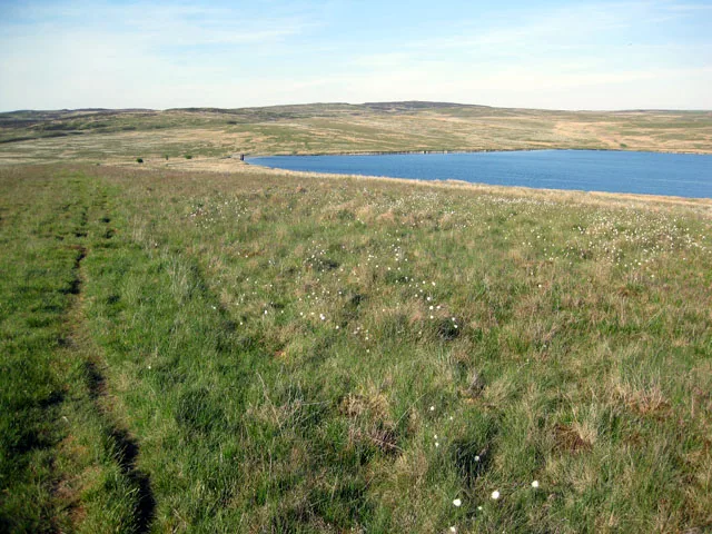
Llyn Aled
Reservoirs & lochs · 3.1 km

Craig yr Iyrchen
Mountains & hills · 3.1 km
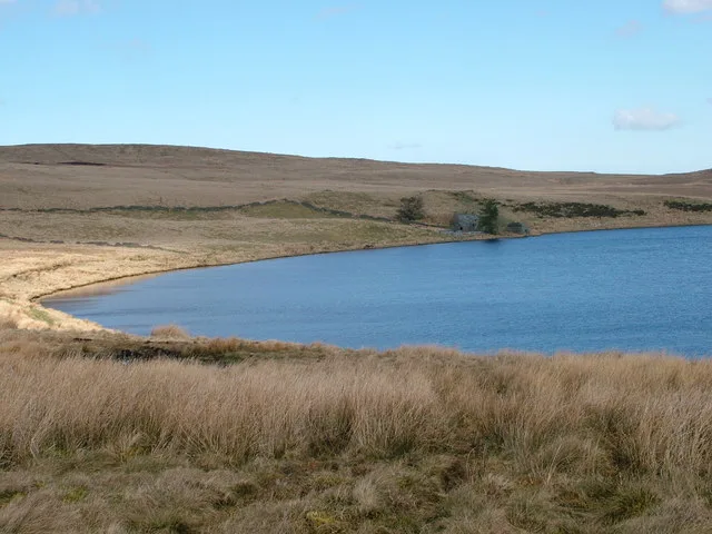
Llyn Alwen
Natural landmarks · 3.2 km

Tai-uchaf
Historic houses · 3.2 km
Nearby
📷 5Mountains & hills · North Wales
Pen Bwlch Y Garnedd
Pen Bwlch Y Garnedd — mountain in wales north. Elevation: 460 m.
📷 3📷 5📷 5📷 5📷 3Mountains & hills · North Wales
Pen yr Orsedd
Pen yr Orsedd — a mountain in wales-north, United Kingdom, 442 m.
Where to eat & stay near Mwdwl-Eithin
Places to stay
📷 5 📷 5📷 5
 📷 5
📷 5Caravan parks · North Wales
Fron-deg Caravan Park
Fron-deg Caravan Park — a caravan park in wales north.
 📷 5
📷 5 📷 5
📷 5Caravan parks · North Wales
Pen Isaf Farm Caravan Park
Pen Isaf Farm Caravan Park — a caravan park in wales north.
Places to eat & drink
 📷 5
📷 5 📷 7
📷 7Restaurants · North Wales
Palé Hall Hotel Restaurant
Palé Hall Hotel Restaurant — a restaurant in wales north. Cuisine: welsh;british;fine dining. 5-star.
 📷 5
📷 5Historic pubs · North Wales
Leyland Arms
Leyland Arms in Wales North, United Kingdom.
 📷 5
📷 5 📷 5
📷 5Historic pubs · North Wales
Ruthin Castle Hotel
Ruthin Castle Hotel in Wales North, United Kingdom.
 📷 5
📷 5Historic pubs · North Wales
Castle Hotel
Castle Hotel in Wales North, United Kingdom.
More mountains in this region
 📷 5
📷 5Mountains & hills · North Wales
Cemlyn Bay and lagoon
Cemlyn Bay and lagoon — Site of Special Scientific Interest in Wales.
 📷 3
📷 3Mountains & hills · North Wales
Aberffraw Bay
Aberffraw Bay — bay on the west coast of Anglesey, in Wales, UK.
 📷 3
📷 3 📷 3
📷 3Mountains & hills · North Wales
Aran Benllyn
Aran Benllyn — Named summit at 884 m.
Frequently asked questions
- Where is Mwdwl-Eithin?
- Mwdwl-Eithin is in North Wales, United Kingdom.
- What is Mwdwl-Eithin?
- Mwdwl-Eithin — Named summit at 527 m.
- How do I get to Mwdwl-Eithin?
- The nearest town is Capel Garmon. Its coordinates are 53.0724°, -3.6180°.
- Is Mwdwl-Eithin free to visit?
- Yes, Mwdwl-Eithin is free to enter.