Farms (open to visitors) · Scottish Islands
Mugeary
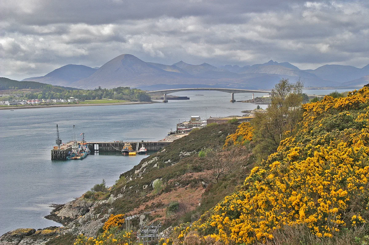
In or near Carbost.
Mugeary in Scotland Islands, United Kingdom.

Dave Fergusson — CC BY-SA 2.0 via Wikimedia Commons licence
Plan your visit
- Typical visit
- 2 h–4 h
- Family-friendly
About
Mugeary is a place of interest in Scotland Islands, United Kingdom — drawn from open-data sources for visitor reference. See the linked Wikipedia article for the full description.
Photo gallery
From the Wikipedia article
Mugeary (Scottish Gaelic: Mùigearraidh) is a farm or croft and former settlement on the island of Skye, Scotland. Located 4 kilometres (2+1⁄2 miles) southwest of Portree, it is known as the location where the basaltic rock mugearite was first identified. The Gaelic name is derived from Old Norse and probably means "narrow field".
Excerpt from Wikipedia under CC BY-SA 4.0. See the source article linked in Sources below.
Background
History
The ruins surrounding the extant croft suggest a more substantial settlement prior to the Clearances, which devastated many parts of Skye, and a well-documented case from the 1850s in the parish of Snizort exists. The RCAHMS have identified an old field system northwest of the existing farm buildings that predates 1881 and a second record describes the area as a crofting "township".
Sourced from Wikipedia under CC BY-SA 4.0.
- Coordinates
- 57.3691, -6.2519
- District
- Highland
- Postcode
- IV51 9LP
- Parliamentary constituency
- Inverness, Skye and West Ross-shire
Sources
Other places nearby

Stroc-bheinn
Mountains & hills · 1.1 km
Stròc-bheinn
Mountains & hills · 1.3 km

Skriaig
Mountains & hills · 1.9 km

Glenmore
Villages · 2.0 km

Skriaig
Mountains & hills · 2.0 km

Beinn na Greine
Mountains & hills · 3.1 km
Beinn na Greine
Mountains & hills · 3.1 km

Meallan Gainmhich
Mountains & hills · 3.1 km

Bridge, Ben Gaskin
Historic bridges · 3.5 km

Tungadal Souterrain
Archaeological sites · 3.9 km

Tungadal Souterrain
Archaeological sites · 3.9 km
Isle of Skye
Islands · 4.1 km
Nearby
📷 5Mountains & hills · Scottish Islands
Stroc-bheinn
Stroc-bheinn — a hill or mountain in scotland highlands.
📷 5Mountains & hills · Scottish Islands
Stròc-bheinn
Stròc-bheinn — mountain in scotland highlands. Elevation: 400 m.
📷 5📷 5📷 5Mountains & hills · Scottish Islands
Skriaig
Skriaig — mountain in scotland highlands. Elevation: 396 m.
📷 5Mountains & hills · Scottish Islands
Beinn na Greine
Beinn na Greine — a hill or mountain in scotland highlands.
Where to eat & stay near Mugeary
Places to stay
 📷 5
📷 5Hostels · Scottish Highlands
Portree Youth Hostel - SYHA (Bayfield Backpackers)
Portree Youth Hostel - SYHA (Bayfield Backpackers) — a hostel in scotland highlands. Brand: Hostelling Scotland.
 📷 5
📷 5Hostels · Scottish Highlands
Portree Independent Hostel
Portree Independent Hostel — a hostel in scotland highlands.
 📷 5
📷 5Hotels · Scottish Highlands
The Marmalade
The Marmalade — a hotel in scotland highlands.
 📷 5
📷 5Hotels · Scottish Highlands
Cuillin Hills Hotel
Cuillin Hills Hotel — a hotel in scotland highlands.
 📷 5
📷 5Campsites · Scottish Highlands
Torvaig
Torvaig — a campsite in scotland highlands.
 📷 5
📷 5Campsites · Scottish Highlands
Sligachan Campsite
Sligachan Campsite — a campsite in scotland highlands.
More places in this region

Farms (open to visitors) · Scottish Islands
Siadar Wave Power Station
Siadar Wave Power Station in Scotland Islands, United Kingdom.
 📷 4
📷 4Farms (open to visitors) · Scottish Islands
Achingills
Achingills in Orkney + Shetland, United Kingdom.
 📷 4
📷 4 📷 3
📷 3Frequently asked questions
- Where is Mugeary?
- Mugeary is in the Scottish Islands, United Kingdom (postcode IV51 9LP).
- What is Mugeary?
- Mugeary in Scotland Islands, United Kingdom.
- How do I get to Mugeary?
- Drivers can use postcode IV51 9LP.
- How do I get to Mugeary?
- Drivers can navigate to postcode IV51 9LP. It sits within the Inverness, Skye and West Ross-shire parliamentary constituency.