
Castles · Scottish Highlands
Muchalls
In or near Newtonhill.
Muchalls is a small coastal ex-fishing village in Kincardineshire, Scotland, south of Newtonhill and north of Stonehaven. Muchalls is situated slightly north of a smaller hamlet known as the Bridge of

Colin Smith — CC BY-SA 2.0 via Wikimedia Commons licence

Plan your visit
- Typical visit
- 1.5 h–3 h
- Nearest railway station
- Portlethen · 4.9 km
- Family-friendly
- Limited wheelchair access
Getting there & planning your visit
To visit Muchalls Castle, the nearest railway station is Portlethen, located 4.9 km away. The postcode for sat-nav is AB39 3XT. Accessibility is limited for wheelchair users.
About
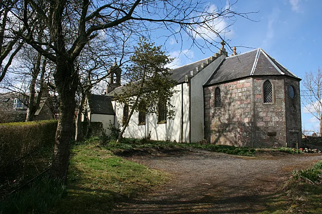
Muchalls is a small coastal ex-fishing village in Kincardineshire, Scotland, south of Newtonhill and north of Stonehaven. Muchalls is situated slightly north of a smaller hamlet known as the Bridge of Muchalls. At the western edge of Muchalls is the historic Saint Ternan's Church. The rugged North Sea coastline near Muchalls features numerous cliffs, sea stacks and headlands, not infrequently in haar. The Grim Brigs headland is situated at Muchalls southern edge and Doonie Point headland is approximately 1.5 kilometres south.
Photo gallery
From the Wikipedia article
Muchalls is a small coastal ex-fishing village in Kincardineshire, Scotland, south of Newtonhill and north of Stonehaven. Muchalls is situated slightly north of a smaller hamlet known as the Bridge of Muchalls. At the western edge of Muchalls is the historic Saint Ternan's Church. The rugged North Sea coastline near Muchalls features numerous cliffs, sea stacks and headlands, not infrequently in haar. The Grim Brigs headland is situated at Muchalls southern edge and Doonie Point headland is approximately 1.5 kilometres south.
Excerpt from Wikipedia under CC BY-SA 4.0. See the source article linked in Sources below.
Background
History
Muchalls is situated slightly to the east of the ancient Causey Mounth trackway, which was constructed on high ground to ensure passage along the only available medieval route from coastal points south from Stonehaven to Aberdeen. This ancient passage specifically connected the River Dee crossing (where the present Bridge of Dee is situated) via Gillybrands, Muchalls Castle and Stonehaven to the south. William Keith, 7th Earl Marischal and the Marquess of Montrose took that route when they led a Covenanter army of 9000 men in the battle of the Civil War in 1639. From Muchalls Castle to the sea is a secret cave, about one mile long, which smugglers once used. The cave is said to be haunted…
Sourced from Wikipedia under CC BY-SA 4.0.
- Coordinates
- 57.0210, -2.1610
- District
- Aberdeenshire
- Postcode
- AB39 3XT
- Parliamentary constituency
- West Aberdeenshire and Kincardine
- Nearest railway station
- Portlethen — 4.9 km
Sources
- wikipedia: Muchalls (CC BY-SA 4.0)
Other places nearby

Peace Memorial 1919
Memorials & monuments · 0.3 km
Saint Ternan's Church
Historic churches · 1.0 km

Muchalls Castle
Literary houses · 1.2 km

Muchalls Castle
Castles · 1.2 km

Muchalls Shore
Beaches · 1.4 km

Newtonhill
Towns & cities · 1.4 km

Skateraw
Villages · 1.5 km

Newtonhill harbour
Marinas · 1.6 km

Cranhill
Mountains & hills · 2.2 km

Hall Bay
Natural landmarks · 2.4 km

Elsick House
Manor houses · 2.8 km

Clashfarquhar Bay
Natural landmarks · 3.1 km
Nearby
📷 3Memorials & monuments · Scottish Highlands
Peace Memorial 1919
Peace Memorial 1919 — a memorial in scotland-highlands, United Kingdom.
📷 3Historic churches · Scottish Highlands
Saint Ternan's Church
Saint Ternan's Church — church in Aberdeenshire, Scotland, UK.
📷 4Literary houses · Scottish Highlands
Muchalls Castle
Muchalls Castle — a literary house museum in scotland highlands.
📷 3Castles · Scottish Highlands
Muchalls Castle
Muchalls Castle — a castle in scotland-highlands, United Kingdom.
📷 3📷 3Towns & cities · Scottish Highlands
Newtonhill
Newtonhill — village in Aberdeenshire, Scotland, UK.
Where to eat & stay near Muchalls
Places to stay
 📷 5
📷 5Caravan parks · Scottish Highlands
Stonehaven Queen Elizabeth Park Caravan Club Site
Stonehaven Queen Elizabeth Park Caravan Club Site — a caravan park in scotland highlands.
 📷 7
📷 7 📷 7
📷 7Hotels · Scottish Highlands
The Ship Inn
The Ship Inn — a hotel in scotland highlands.
 📷 7
📷 7 📷 5
📷 5Caravan parks · Scottish Highlands
Deeside Holiday Park
Deeside Holiday Park — a caravan park in scotland highlands.
 📷 5
📷 5Hotels · Scottish Highlands
Maryculter House Hotel
Maryculter House Hotel — a hotel in scotland highlands.
Places to eat & drink
 📷 5
📷 5Historic pubs · Scottish Highlands
Lairhillock Inn
Lairhillock Inn in Scotland Highlands, United Kingdom.
 📷 5
📷 5Historic pubs · Scottish Highlands
Public House, Alford Place, Aberdeen
Public House, Alford Place, Aberdeen in Scotland Highlands, United Kingdom.
 📷 5
📷 5Historic pubs · Scottish Highlands
10 Bon-accord Square, Aberdeen
10 Bon-accord Square, Aberdeen in Scotland Highlands, United Kingdom.
 📷 7
📷 7Historic pubs · Scottish Highlands
The Star And Garter, 6 Crown Street, Aberdeen
The Star And Garter, 6 Crown Street, Aberdeen in Scotland Highlands, United Kingdom.
 📷 5
📷 5Historic pubs · Scottish Highlands
3 Golden Square, Aberdeen
3 Golden Square, Aberdeen in Scotland Highlands, United Kingdom.
 📷 5
📷 5Historic pubs · Scottish Highlands
13 - 15 Market Street, Aberdeen
13 - 15 Market Street, Aberdeen in Scotland Highlands, United Kingdom.
More castles in this region
 📷 3
📷 3Castles · Scottish Highlands
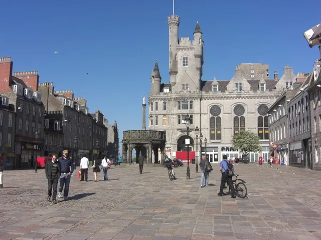
Aberdeen Castle
Aberdeen Castle — castle in Aberdeen City, Scotland, UK.
 📷 3
📷 3Castles · Scottish Highlands
Abergairn Castle
Abergairn Castle — castle in Aberdeenshire, Scotland, UK.
 📷 2
📷 2Castles · Scottish Highlands
Aberscross Castle
Aberscross Castle — castle near Dornoch, Highland, Scotland, UK, ruinous by the 17th century.
 📷 3
📷 3Castles · Scottish Highlands
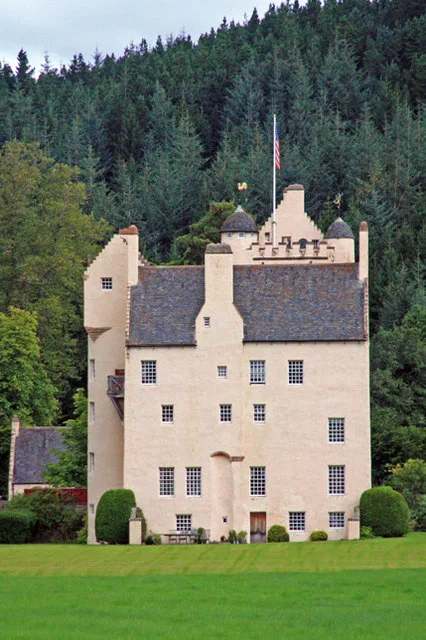
Aboyne Castle
Aboyne Castle — castle in Aberdeenshire, Scotland, UK.
Frequently asked questions
- Where is Muchalls?
- Muchalls is in the Scottish Highlands, United Kingdom (postcode AB39 3XT).
- What is Muchalls?
- Muchalls is a small coastal ex-fishing village in Kincardineshire, Scotland, south of Newtonhill and north of Stonehaven. Muchalls is situated slightly north of a smaller hamlet known as the Bridge of
- How do I get to Muchalls?
- The nearest railway station is Portlethen, about 4.9 km away. Drivers can use postcode AB39 3XT.
- Does Muchalls charge admission?
- Muchalls typically charges admission. Check the official site for current ticket prices and opening hours.
- How do I get to Muchalls?
- The nearest railway station is Portlethen, about 4.9 km away. Drivers can navigate to postcode AB39 3XT.