Villages · Northern Ireland
Mountfield
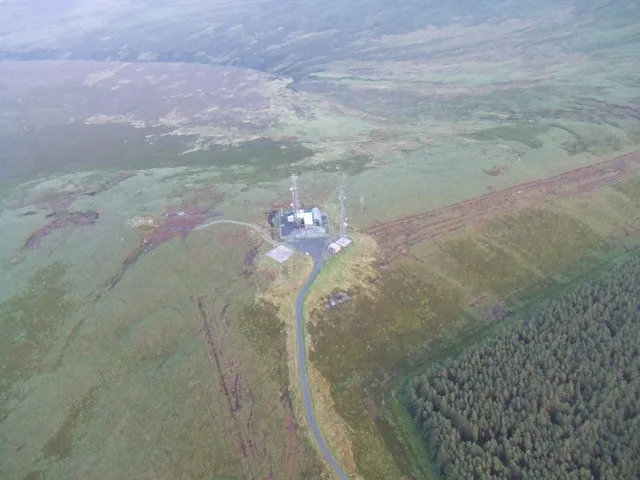
Mountfield — a village in northern ireland.

Kenneth Allen — CC BY-SA 2.0 via Wikimedia Commons licence
Plan your visit
- Typical visit
- 1 h–2 h
About
A British village — settlements of this size traditionally cluster a green, parish church, pub and post office around historic land routes.
Photo gallery
- Coordinates
- 54.6500, -7.1667
Sources
- manual: geonames-2642109 (CC BY 4.0)
Other places nearby
Loading nearby places…
Nearby
 📷 5
📷 5Lakes · Northern Ireland
Lough Fingrean
Lough Fingrean — a lake in northern ireland.
 📷 5
📷 5Lakes · Northern Ireland
Lough Macrory
Lough Macrory — a lake in northern ireland.
 📷 4
📷 4Mountains & hills · Northern Ireland
Mullaghcarn
Mullaghcarn — Named summit at 542 m.
 📷 4
📷 4Natural landmarks · Northern Ireland
Mullaghcarn
Mullaghcarn — mountain in County Tyrone, Northern Ireland, UK.
 📷 5
📷 5Mountains & hills · Northern Ireland
Mullaghcarn South Top
Mullaghcarn South Top — mountain in northern ireland. Elevation: 525.0 m.
 📷 3
📷 3Natural landmarks · Northern Ireland
Tyrone
Tyrone in Northern Ireland, United Kingdom.
Where to eat & stay near Mountfield
Places to stay


More places in this region
 📷 5
📷 5Villages · Northern Ireland
Woodburn
Woodburn — a village in northern ireland.
 📷 5
📷 5Villages · Northern Ireland
Windsor
Windsor — a village in northern ireland.
 📷 5
📷 5Villages · Northern Ireland
Whitesides Corner
Whitesides Corner — a village in northern ireland.
 📷 5
📷 5Villages · Northern Ireland
Whitehouse Upper
Whitehouse Upper — a village in northern ireland.
Frequently asked questions
- Where is Mountfield?
- Mountfield is in Northern Ireland, United Kingdom.
- What is Mountfield?
- Mountfield — a village in northern ireland.
- How do I get to Mountfield?
- Its coordinates are 54.6500°, -7.1667°.