
Mountains & hills · Scottish Highlands
Mòruisg
Also known as: Moruisg
Mòruisg — Named summit at 928 m.

Wikimedia Commons contributors — see linked file page for photographer and licence licence

Plan your visit
- Typical visit
- 3 h–8 h
- Best time of year
- Late spring – early autumn (May–Oct)
- Nearest railway station
- Achnashellach · 9.9 km
- Free entry
- Dog-friendly
About
Mòruisg is a named summit in the United Kingdom. Wikidata describes it as: "Named summit at 928 m.". Coordinates: 57.4997°, -5.1706°.
Photo gallery
From the Wikipedia article
Mòruisg is a Scottish mountain situated in the Glencarron and Glenuig Forest, 10 kilometres south west of the village of Achnasheen in the Highland council area.
Excerpt from Wikipedia under CC BY-SA 4.0. See the source article linked in Sources below.
Background
Description
The hill reaches a height of 928 metres (3044 feet) and is the most easily accessible of the Glen Carron Munros, being situated just three kilometres from the A890 road which runs through the glen. Its Scottish Gaelic name translates as “Big Water” which is slightly unusual as the only sheets of water on the mountain are two small lochs in the corries to the north of the mountain.
Sourced from Wikipedia under CC BY-SA 4.0.
- Coordinates
- 57.4997, -5.1706
- Address
- Wester Ross, Scotland
- Nearest railway station
- Achnashellach — 9.9 km
Sources
- osm: n269514202 (ODbL)
- wikipedia: Mòruisg (CC BY-SA 4.0)
- commons: Moruisg.jpg (CC BY-SA 4.0)
Other places nearby

Moruisg
Mountains & hills · 0.0 km

Moruisg East Top
Mountains & hills · 1.1 km

Moruisg Far East Top
Mountains & hills · 1.9 km
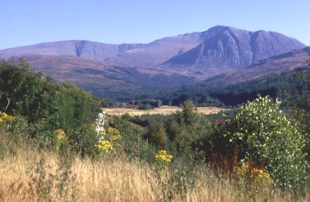
Sgùrr nan Ceannaichean
Mountains & hills · 2.3 km

Sgurr nan Ceannaichean
Mountains & hills · 2.3 km

Moruisg - Toll a'Ghobhain
Mountains & hills · 2.4 km
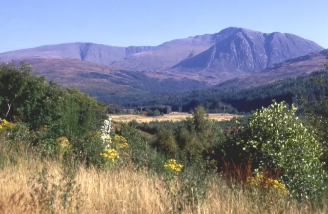
Sgùrr nan Ceannaichean
Natural landmarks · 2.4 km

Coire-beithe
Historic houses · 2.4 km
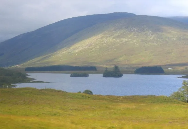
Loch Scaven
Natural landmarks · 3.0 km

Meall an Fhliuchaird
Mountains & hills · 3.4 km

Càrn Gorm
Mountains & hills · 3.4 km

Càrm Gorm
Mountains & hills · 3.4 km
Nearby
📷 5📷 5Mountains & hills · Scottish Highlands
Moruisg East Top
Moruisg East Top — a hill or mountain in scotland highlands.
Mountains & hills · Scottish Highlands
Moruisg Far East Top
Moruisg Far East Top — a mountain in scotland-highlands, United Kingdom.
📷 3Mountains & hills · Scottish Highlands
Sgùrr nan Ceannaichean
Sgùrr nan Ceannaichean — Named summit at 913 m.
📷 5Mountains & hills · Scottish Highlands
Sgurr nan Ceannaichean
Sgurr nan Ceannaichean — a hill or mountain in scotland highlands.
Mountains & hills · Scottish Highlands
Moruisg - Toll a'Ghobhain
Moruisg - Toll a'Ghobhain — a mountain in scotland-highlands, United Kingdom.
Where to eat & stay near Mòruisg
Places to stay
 📷 5
📷 5Hostels · Scottish Highlands
Gerry's Hostel
Gerry's Hostel — a hostel in scotland highlands.
 📷 5
📷 5Caravan parks · Scottish Highlands
Ledgowan Lodge Campsite
Ledgowan Lodge Campsite — a caravan park in scotland highlands.
 📷 5
📷 5Hostels · Scottish Highlands
Kinlochewe Bunkhouse
Kinlochewe Bunkhouse — a hostel in scotland highlands.
 📷 5
📷 5Caravan parks · Scottish Highlands
Kinlochewe Caravan Club Site
Kinlochewe Caravan Club Site — a caravan park in scotland highlands.
 📷 5
📷 5Campsites · Scottish Highlands
Beinn Eighe Campsite
Beinn Eighe Campsite — a campsite in scotland highlands.
 📷 5
📷 5Campsites · Scottish Highlands
Torridon Camp Site
Torridon Camp Site — a campsite in scotland highlands.
More mountains in this region
 📷 3
📷 3Mountains & hills · Scottish Highlands
A' Bhuidheanach Bheag
A' Bhuidheanach Bheag — Named summit at 936 m.
 📷 3
📷 3Mountains & hills · Scottish Highlands
A' Chailleach
A' Chailleach — Named summit at 997 m.
 📷 3
📷 3Mountains & hills · Scottish Highlands
A' Chailleach
A' Chailleach — Named summit at 930 m.
 📷 3
📷 3Frequently asked questions
- Where is Mòruisg?
- Mòruisg is in the Scottish Highlands, United Kingdom.
- What is Mòruisg?
- Mòruisg — Named summit at 928 m.
- How do I get to Mòruisg?
- The nearest railway station is Achnashellach, about 9.9 km away. Its coordinates are 57.4997°, -5.1706°.
- Is Mòruisg free to visit?
- Yes, Mòruisg is free to enter.