
Beaches · North Wales
Morfa Harlech
Morfa Harlech is a beach in the United Kingdom.

David Medcalf — CC BY-SA 2.0 via Wikimedia Commons licence

Plan your visit
- Typical visit
- 1 h–3 h
- Best time of year
- Summer (Jun–Aug)
- Nearest railway station
- Harlech · 3.2 km
- Free entry
- Family-friendly
- Dog-friendly
About
Morfa Harlech is a named beach on the United Kingdom coastline. Coordinates: 52.8808°, -4.1442°. This entry is part of The Great Britain Guide, a free, ad-free, open-data tourist directory.
Photo gallery
From the Wikipedia article
Morfa Harlech National Nature Reserve (grid reference SH571337) is a nature reserve in Wales, located north of Harlech. The reserve reaches across expanses of open sand and sea towards Snowdonia and contains one of the two extensive sand dune systems which make up much of the sandy Meirionnydd coastline, it carries particular importance as the only growing dune system in Wales. Morfa Harlech sand dunes is an extensive dune system stretching northwards from the town of Harlech. The dunes cover 6 km2, of which an area of about 1.5 km2 in the middle has been afforested with Corsican Pine. Nearby is Harlech Castle, which due to the expanding dune system has been taken back 1,000 metres (3,300 ft) from its original position on the coastline 600 years ago. Morfa Harlech is one of Britain's actively growing sand dune systems due to the longshore drift which is currently eroding the dunes at Morfa Dyffryn.
Excerpt from Wikipedia under CC BY-SA 4.0. See the source article linked in Sources below.
- Coordinates
- 52.8808, -4.1442
- Nearest railway station
- Harlech — 3.2 km
Sources
- osm: n29761870 (ODbL)
- wikipedia: Morfa Harlech National Nature Reserve (CC BY-SA 4.0)
Other places nearby
Loading nearby places…
Nearby
 📷 3
📷 3Beaches · North Wales
Traeth Harlech
Traeth Harlech is a beach in the United Kingdom.
 📷 3
📷 3Forests & woodlands · North Wales
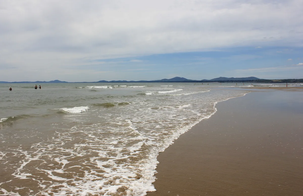
Morfa Harlech National Nature Reserve
Morfa Harlech National Nature Reserve is a forest or woodland in the United Kingdom.
 📷 3
📷 3Beaches · North Wales
Harlech Beach
Harlech Beach is a beach in the United Kingdom.
 📷 3
📷 3Archaeological sites · North Wales
Tanforhesgen Defended Enclosure
Tanforhesgen Defended Enclosure — a archaeological in wales-north, United Kingdom.
 📷 5
📷 5Campsites · North Wales
Tanforhesgen
Tanforhesgen — a campsite in wales north.
 📷 3
📷 3Mountains & hills · North Wales
Ogof Foel
Ogof Foel — a mountain in wales-north, United Kingdom, 78 m.
More beaches in this region
 📷 3
📷 3Beaches · North Wales
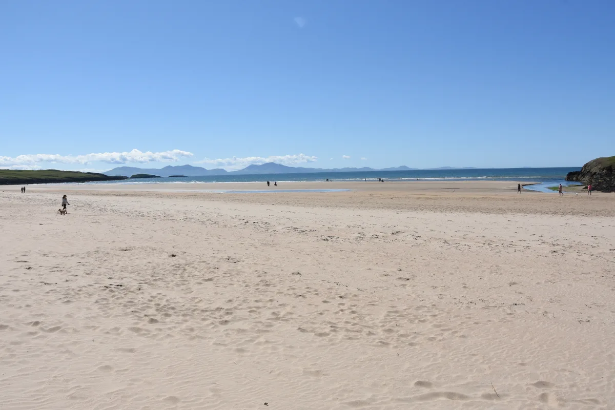
Aberffraw Sands
Aberffraw Sands — sandy beach on west coast of Anglesey, in Wales, UK.
 📷 3
📷 3Beaches · North Wales
Banc Sidan
Banc Sidan is a beach in the United Kingdom.
 📷 3
📷 3Beaches · North Wales
Benllech Sands
Benllech Sands is a beach in the United Kingdom.
 📷 3
📷 3Beaches · North Wales
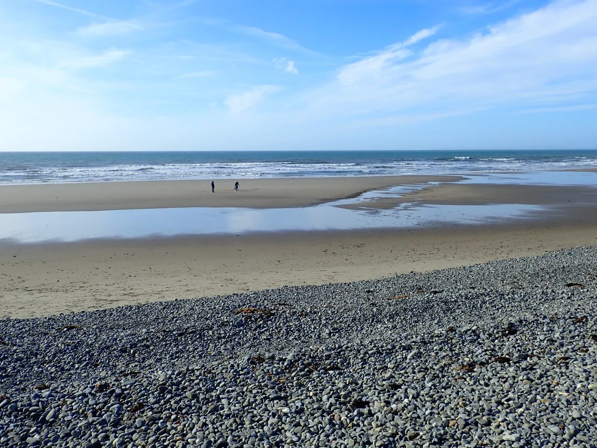
Bennar Beach
Bennar Beach is a beach in the United Kingdom.
Frequently asked questions
- Where is Morfa Harlech?
- Morfa Harlech is in North Wales, United Kingdom.
- What is Morfa Harlech?
- Morfa Harlech is a beach in the United Kingdom.
- How do I get to Morfa Harlech?
- The nearest railway station is Harlech, about 3.2 km away. Its coordinates are 52.8808°, -4.1442°.
- Is Morfa Harlech free to visit?
- Yes, Morfa Harlech is free to enter.
- How do I get to Morfa Harlech?
- The nearest railway station is Harlech, about 3.2 km away.