Natural landmarks · Scottish Lowlands
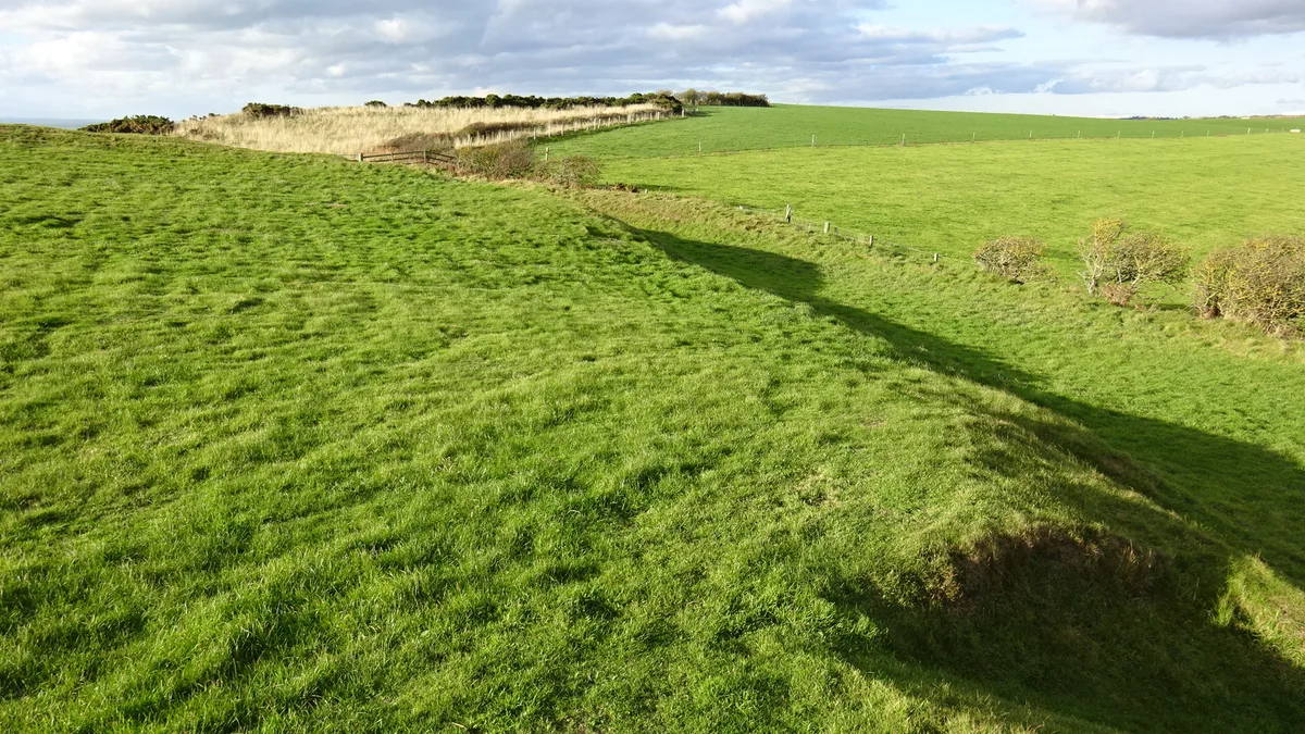
Monreith Bay
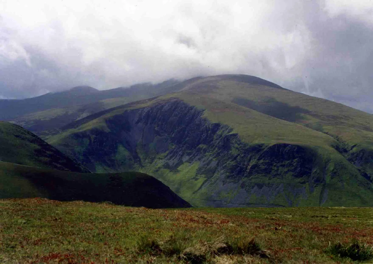
Monreith Bay — a natural feature in scotland lowlands.

Billy McCrorie — CC BY-SA 2.0 via Wikimedia Commons licence
Plan your visit
- Typical visit
- 1 h–2 h
About
Monreith Bay is a named natural feature in scotland lowlands, recorded in the GeoNames UK gazetteer. British landmarks of this type are typically marked on Ordnance Survey maps and recorded in the national gazetteer for cartographic and navigational reference. Coordinates and feature classification are sourced from the GeoNames open dataset.
Photo gallery
Place summary
Monreith Bay is a natural landmark located in the Scottish Lowlands. It features a scenic coastline and offers views of the surrounding landscape. The area is known for its rugged beauty and provides opportunities for walking and observing local wildlife. Visitors can enjoy the beach and explore the nearby coastal paths.
AI-generated from the structured facts on this page (operator, designation, listing, era). Not a substitute for visiting.
- Coordinates
- 54.7333, -4.5500
Sources
- manual: geonames-2642310 (CC BY 4.0)
Other places nearby
Loading nearby places…
Nearby
 📷 5
📷 5Villages · Scottish Lowlands
Monreith
Monreith — a village in scotland lowlands.
 📷 4
📷 4Public art & sculpture · Scottish Lowlands
Maxwell's otter
Maxwell's otter — a public art in scotland-lowlands, United Kingdom.
 📷 5
📷 5Natural landmarks · Scottish Lowlands
Front Bay
Front Bay — a natural feature in scotland lowlands.
 📷 3
📷 3Hill forts · Scottish Lowlands
Barsalloch Fort
Barsalloch Fort — archaeological site in Dumfries and Galloway, Scotland, UK.
 📷 5
📷 5Vineyards · Scottish Lowlands
Back Bay
Back Bay — a UK vineyard in scotland lowlands, producing English or Welsh wine from cool-climate grape varieties.
 📷 5
📷 5Lakes · Scottish Lowlands
White Loch of Myrton
White Loch of Myrton — a lake in scotland lowlands.
Where to eat & stay near Monreith Bay
Places to stay
 📷 5
📷 5Campsites · Scottish Lowlands
Kings Green Caravan Park
Kings Green Caravan Park — a campsite in scotland lowlands.
 📷 5
📷 5Caravan parks · Scottish Lowlands
Burrowhead Holiday Village
Burrowhead Holiday Village — a caravan park in scotland lowlands.
 📷 5
📷 5Campsites · Scottish Lowlands
Garlieston Lodge Caravan Site
Garlieston Lodge Caravan Site — a campsite in scotland lowlands.
 📷 5
📷 5Campsites · Scottish Lowlands
Garlieston Caravan Club Site
Garlieston Caravan Club Site — a campsite in scotland lowlands.
 📷 5
📷 5Campsites · Scottish Lowlands
DRUMROAMIN FARM CAMPING & CARAVAN SITE
DRUMROAMIN FARM CAMPING & CARAVAN SITE — a campsite in scotland lowlands.
 📷 5
📷 5Campsites · Scottish Lowlands
Castle Cary Holiday Park
Castle Cary Holiday Park — a campsite in scotland lowlands.
Places to eat & drink
 📷 5
📷 5Historic pubs · Scottish Lowlands
The Harbour Inn, 18, 19 South Crescent, Garlieston
The Harbour Inn, 18, 19 South Crescent, Garlieston in Scotland Lowlands, United Kingdom.
 📷 5
📷 5Historic pubs · Scottish Lowlands
17 North Main Street, Wigtown
17 North Main Street, Wigtown in Scotland Lowlands, United Kingdom.
 📷 5
📷 5Historic pubs · Scottish Lowlands
The Craighlaw Arms, 23 Main Street, Kirkcowan
The Craighlaw Arms, 23 Main Street, Kirkcowan in Scotland Lowlands, United Kingdom.
More natural landmarks in this region
 Flagship📷 3
Natural landmarks · Scottish Lowlands
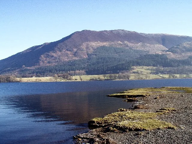
Bassenthwaite Lake
Bassenthwaite Lake — lake in Cumbria, England, UK.
 Flagship📷 3
Natural landmarks · Scottish Lowlands
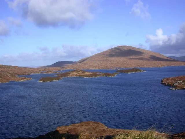
Loch Enoch
Loch Enoch — lake in Dumfries and Galloway, Scotland, UK.
 📷 5
📷 5Natural landmarks · Scottish Lowlands
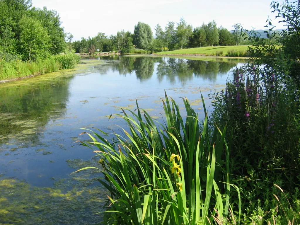
Annandale Water
Annandale Water — lake in Dumfries and Galloway, Scotland, UK.
 📷 3
📷 3Natural landmarks · Scottish Lowlands
Bakestall
Bakestall — mountain in United Kingdom.
Frequently asked questions
- Where is Monreith Bay?
- Monreith Bay is in the Scottish Lowlands, United Kingdom.
- What is Monreith Bay?
- Monreith Bay — a natural feature in scotland lowlands.
- How do I get to Monreith Bay?
- Its coordinates are 54.7333°, -4.5500°.