Mountains & hills · North Wales
Moelfre Uchaf
In or near Llangernyw.
Moelfre Uchaf — Named summit at 396 m.

Wikimedia Commons contributors — see linked file page for photographer and licence licence
Plan your visit
- Typical visit
- 3 h–8 h
- Best time of year
- Late spring – early autumn (May–Oct)
- Nearest railway station
- Abergele and Pensarn · 8.5 km
- Free entry
- Dog-friendly
About
Moelfre Uchaf is a named summit in the United Kingdom. Wikidata describes it as: "Named summit at 396 m.". Coordinates: 53.2301°, -3.6522°.
Photo gallery
From the Wikipedia article
Moelfre Uchaf is a hill in Conwy County Borough, North Wales, 5 miles (8.0 km) south-east of Colwyn Bay and 1.5 mi (2.4 km) south-west of Betws-yn-Rhos. It is 396 m (1,299 ft) above sea level. A trigpoint is on the summit.
Excerpt from Wikipedia under CC BY-SA 4.0. See the source article linked in Sources below.
- Coordinates
- 53.2301, -3.6522
- District
- Conwy
- Parish
- Betws yn Rhos
- Postcode
- LL22 8AS
- Parliamentary constituency
- Bangor Aberconwy
- Nearest railway station
- Abergele and Pensarn — 8.5 km
Sources
- osm: n3437287473 (ODbL)
- wikipedia: Moelfre Uchaf (CC BY-SA 4.0)
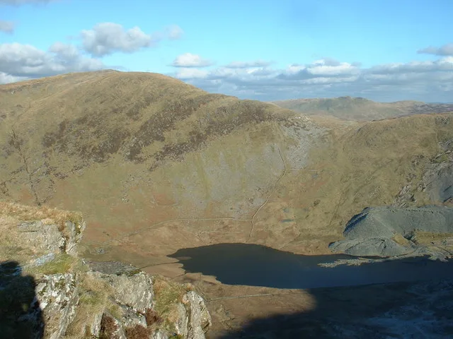
- commons: Moelfre Uchaf from Cefn-yr-Ogof.jpg (CC BY-SA 4.0)
Other places nearby

Mynydd Glyn-Lws
Mountains & hills · 1.2 km

Mynydd Dir
Mountains & hills · 1.8 km

Ffarm Country House
Hotels · 1.9 km

Wern-fach
Mountains & hills · 2.3 km

Plas-yn-Betws Caravan Park
Caravan parks · 2.6 km

Mynydd Branar
Mountains & hills · 2.6 km

Tre-pys-llygod
Mountains & hills · 2.9 km
Glan y Gors
Campsites · 2.9 km

Dolwen Bridge
Historic bridges · 3.0 km

Tre-pys-llygod West Top
Mountains & hills · 3.2 km

Llanfair Bridge
Historic bridges · 3.2 km

Llanfair Talhaiarn
Villages · 3.3 km
Nearby
📷 5Mountains & hills · North Wales
Mynydd Glyn-Lws
Mynydd Glyn-Lws — mountain in wales north. Elevation: 298 m.
📷 3Mountains & hills · North Wales
Mynydd Dir
Mynydd Dir — a mountain in wales-north, United Kingdom, 314 m.
📷 5📷 5📷 5Caravan parks · North Wales
Plas-yn-Betws Caravan Park
Plas-yn-Betws Caravan Park — a caravan park in wales north.
📷 2Mountains & hills · North Wales
Mynydd Branar
Mynydd Branar — a mountain in wales-north, United Kingdom, 326 m.
Where to eat & stay near Moelfre Uchaf
Places to stay
📷 5📷 5Caravan parks · North Wales
Plas-yn-Betws Caravan Park
Plas-yn-Betws Caravan Park — a caravan park in wales north.
 📷 5
📷 5Campsites · North Wales
Tŷ Clwyd Centre
Tŷ Clwyd Centre — a campsite in wales north.
 📷 5
📷 5Campsites · North Wales
Bryn Ffanigl Ganol Farm Campsite
Bryn Ffanigl Ganol Farm Campsite — a campsite in wales north.
 📷 5
📷 5Caravan parks · North Wales
Tan Rallt Caravan Park
Tan Rallt Caravan Park — a caravan park in wales north.
Places to eat & drink
 📷 5
📷 5 📷 5
📷 5 📷 5
📷 5Historic pubs · North Wales
Penrhyn Old Hall
Penrhyn Old Hall in Wales North, United Kingdom.
 📷 7📷 7
 📷 5
📷 5More mountains in this region
 📷 5
📷 5Mountains & hills · North Wales
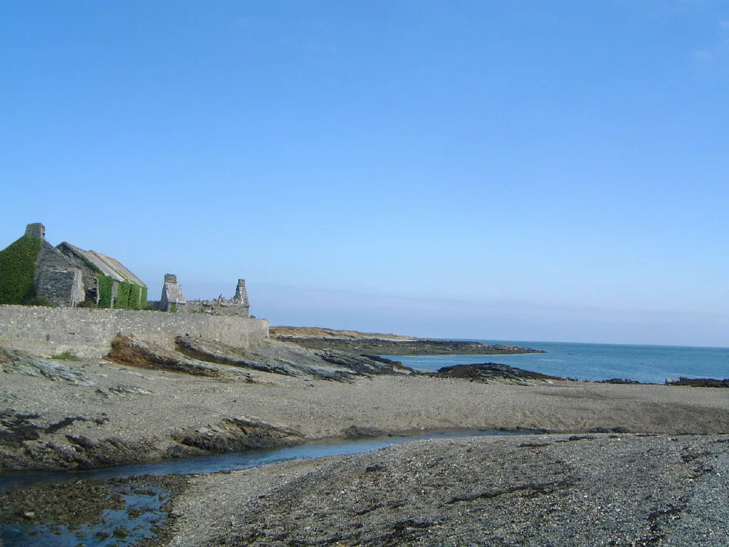
Cemlyn Bay and lagoon
Cemlyn Bay and lagoon — Site of Special Scientific Interest in Wales.
 📷 3
📷 3Mountains & hills · North Wales
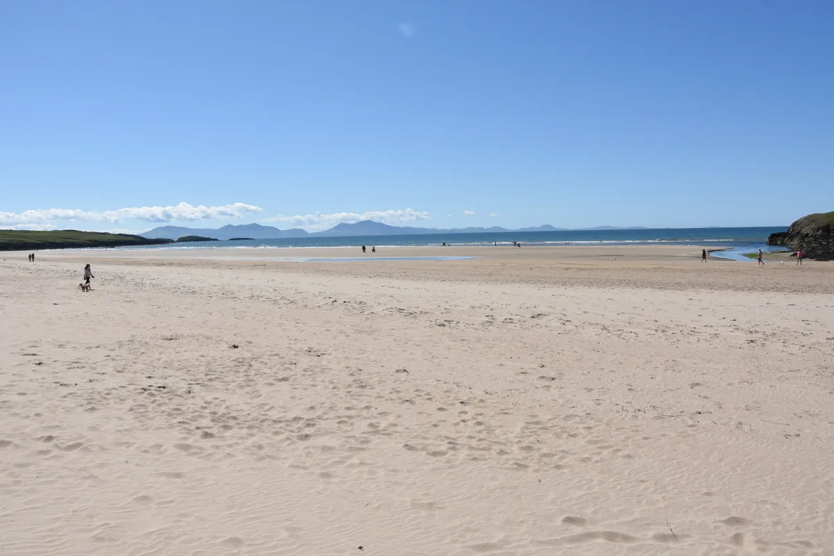
Aberffraw Bay
Aberffraw Bay — bay on the west coast of Anglesey, in Wales, UK.
 📷 3
📷 3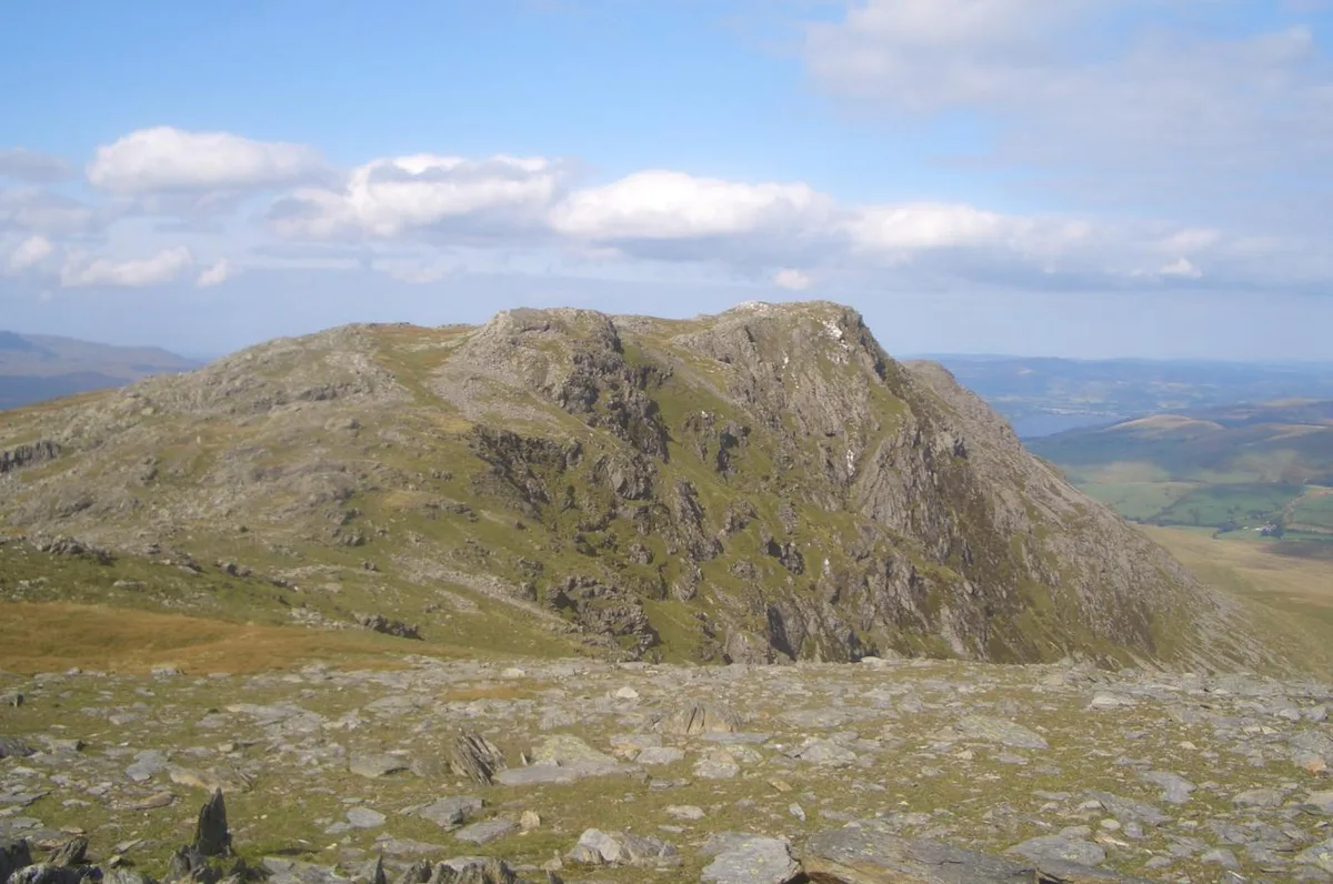 📷 3
📷 3Mountains & hills · North Wales
Aran Benllyn
Aran Benllyn — Named summit at 884 m.
Frequently asked questions
- Where is Moelfre Uchaf?
- Moelfre Uchaf is in North Wales, United Kingdom (postcode LL22 8AS), in the parish of Betws yn Rhos.
- What is Moelfre Uchaf?
- Moelfre Uchaf — Named summit at 396 m.
- How do I get to Moelfre Uchaf?
- The nearest railway station is Abergele and Pensarn, about 8.5 km away. Drivers can use postcode LL22 8AS.
- Is Moelfre Uchaf free to visit?
- Yes, Moelfre Uchaf is free to enter.
- How do I get to Moelfre Uchaf?
- Drivers can navigate to postcode LL22 8AS. It sits within the Bangor Aberconwy parliamentary constituency.