Mountains & hills · Mid Wales
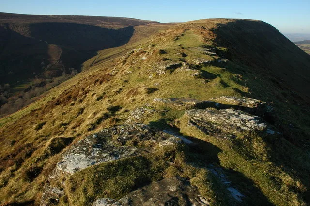
Moel y Garth
Moel y Garth — a hill or mountain in wales mid.

Penny Mayes — CC BY-SA 2.0 via Wikimedia Commons licence
Plan your visit
- Typical visit
- 3 h–8 h
- Best time of year
- Late spring – early autumn (May–Oct)
About
A British hill or mountain, named on Ordnance Survey maps and walked by hill-baggers. Moel y Garth is a named hill or mountain in wales mid, recorded in the GeoNames UK gazetteer. British landmarks of this type are typically marked on Ordnance Survey maps and recorded in the national gazetteer for cartographic and navigational reference. Coordinates and feature classification are sourced from the GeoNames open dataset.
Photo gallery
- Coordinates
- 52.6845, -3.1846
Sources
- manual: geonames-12612013 (CC BY 4.0)
Other places nearby
Loading nearby places…
Nearby
 📷 4
📷 4Historic houses · Mid Wales
Garth
Garth — historic house in Guilsfield, Montgomeryshire, Wales.
 📷 3
📷 3Natural landmarks · Mid Wales
Derwen Maze
Derwen Maze — a other in wales-mid, United Kingdom.
 📷 5
📷 5Mountains & hills · Mid Wales
Groes-Pluen
Groes-Pluen — mountain in wales mid. Elevation: 178 m.
 📷 3
📷 3Gardens · Mid Wales
The Dingle Nurseries and Garden
The Dingle Nurseries and Garden — a garden in wales-mid, United Kingdom.
 📷 5
📷 5Caravan parks · Mid Wales
Hidden Valley
Hidden Valley — a caravan park in wales mid.
 📷 5
📷 5Caravan parks · Mid Wales
Derwen Mill Holiday Park
Derwen Mill Holiday Park — a caravan park in wales mid.
More mountains in this region
 📷 3
📷 3Mountains & hills · Mid Wales
Black Hill
Black Hill — Named summit at 640 m.
 📷 3
📷 3Mountains & hills · Mid Wales
Black Mixen
Black Mixen — Named summit at 650 m.
 📷 5
📷 5Mountains & hills · Mid Wales
Cadair Idris
Cadair Idris — Named summit at 893 m.
 📷 3
📷 3Mountains & hills · Mid Wales
Caer Caradoc
Caer Caradoc — Named summit at 459 m.
Frequently asked questions
- Where is Moel y Garth?
- Moel y Garth is in Mid Wales, United Kingdom.
- What is Moel y Garth?
- Moel y Garth — a hill or mountain in wales mid.
- How do I get to Moel y Garth?
- Its coordinates are 52.6845°, -3.1846°.