Hill forts · North Wales
Moel y Gaer, Bodfari
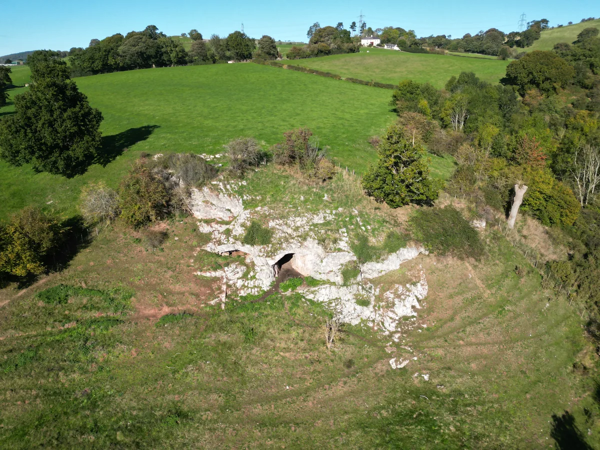
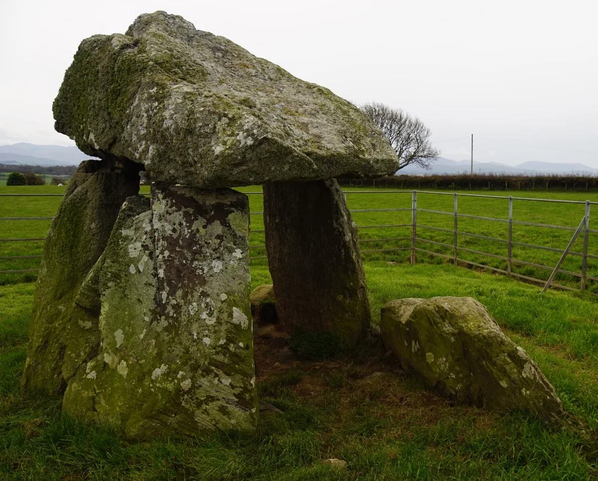
Moel y Gaer, Bodfari — hillfort in Denbighshire, Wales.

Wikimedia Commons contributors — see linked file page for photographer and licence licence
%2C_Cymru_(Wales)_July_2023_-_AONB_11.png)
Plan your visit
- Typical visit
- 1 h–2 h
- Free entry
- Dog-friendly
About
Moel y Gaer, Bodfari is a hill fort in the United Kingdom. Heritage designation: scheduled monument. Wikidata describes it as: "hillfort in Denbighshire, Wales". Coordinates: 53.2265°, -3.3568°.
Photo gallery
From the Wikipedia article
Moel y Gaer (Welsh for "bald hill of the fortress") is an Iron Age hillfort at the northern end of the Clwydian Range, located on a summit overlooking the valley of the River Wheeler, near the village of Bodfari, Denbighshire, Wales, five miles north-east of Denbigh. The site is a scheduled monument, classified as a prehistoric defensive hillfort. The hillfort is one of a chain of six hillforts in the Clwydian Range, which are, from north to south, Moel Hiraddug, Moel y Gaer Bodfari, Penycloddiau, Moel Arthur, Moel y Gaer Llanbedr, and Moel Fenlli. Moel y Gaer Bodfari is the lowest of these hillforts, being just 200 m (656 ft) above sea level. The hill on which it stands is surrounded by lower land and is strategically situated at the confluence of the River Wheeler and the Clwyd. Offa's Dyke Path passes along the foot of the hill. The fort at Moel y Gaer is one of the smallest of the chain of defensive works found along the Clwydians. It probably dates from the Iron Age, although there is no definitive evidence to establish the exact period during which it was occupied. It has a single entrance on its northern side and is defended by a steep slope on the eastern side of the hill. Excavation started in 2011 and is ongoing as of 2016. The area enclosed by the ramparts is about two hectares. Various anomalies have been targeted in the excavations, including what is possibly a group of pits and other features where the ground seems to have been dug out, as well as what seems to be a roundhouse on a levelled piece of land. Examination of the middle rampart began in 2013, and it seems that there may have been several phases in its construction.
Excerpt from Wikipedia under CC BY-SA 4.0. See the source article linked in Sources below.
- Coordinates
- 53.2265, -3.3568
- District
- Denbighshire
- Parish
- Bodfari
- Postcode
- LL16 4DS
- Parliamentary constituency
- Clwyd East
Sources
- wikidata: Q6890128 (CC0)
- wikipedia: Moel y Gaer, Bodfari (CC BY-SA 4.0)
- commons: Moel y Gaer, Bodfari, Sir Ddinbych, Moelydd Clwyd (Clwydian Range), Cymru (Wales) July 2023 - AONB 11.png (CC BY-SA 4.0)
Other places nearby
Loading nearby places…
Nearby
 📷 3
📷 3Hill forts · North Wales
Moel-y-Gaer Hill Fort
Moel-y-Gaer Hill Fort — a hill fort in wales-north, United Kingdom.
📷 3Archaeological sites · North Wales
Site of Roundhouse
Site of Roundhouse — a archaeological in wales-north, United Kingdom.
Caravan parks · North Wales
Station House Caravan Park
Station House Caravan Park — a caravan park in wales north.
 📷 3
📷 3Historic houses · North Wales
Henblas Hall
Henblas Hall — Grade II* listed building in Tremeirchion.
 📷 3
📷 3Mountains & hills · North Wales
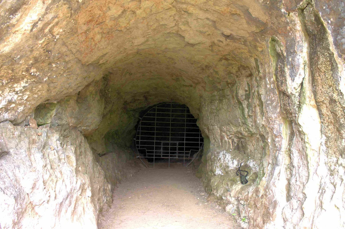
Ffynnon Beuno Cave
Ffynnon Beuno Cave — cave in Denbighshire, Wales.
 📷 3
📷 3Hill forts · North Wales
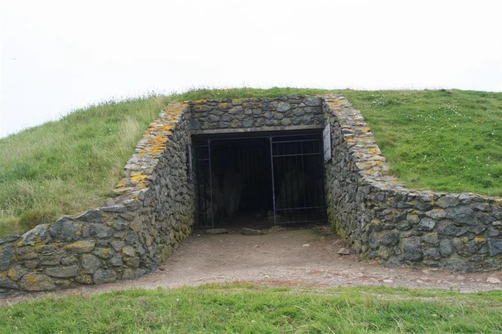
Ffynnon Beuno and Cae Gwyn Caves
Ffynnon Beuno and Cae Gwyn Caves — Site of Special Scientific Interest in Wales.
More places in this region
📷 3Hill forts · North Wales
Ffynnon Beuno and Cae Gwyn Caves
Ffynnon Beuno and Cae Gwyn Caves — Site of Special Scientific Interest in Wales.
 📷 5
📷 5Hill forts · North Wales
Penycloddiau
Penycloddiau — hillfort primarily located in Ysceifiog community, Flintshire.
 📷 5
📷 5Hill forts · North Wales
Barclodiad y Gawres
Barclodiad y Gawres — neolithic burial chamber in Anglesey, Wales, UK.
 📷 3
📷 3Hill forts · North Wales
Bodowyr Burial Chamber
Bodowyr Burial Chamber — Neolithic burial chamber in Llanidan, Anglesey, Wales, UK.
Frequently asked questions
- Where is Moel y Gaer, Bodfari?
- Moel y Gaer, Bodfari is in North Wales, United Kingdom (postcode LL16 4DS), in the parish of Bodfari.
- Is Moel y Gaer, Bodfari a listed building?
- Moel y Gaer, Bodfari is officially recognised as scheduled monument listed.
- Is Moel y Gaer, Bodfari free to visit?
- Yes, Moel y Gaer, Bodfari is free to enter.
- How do I get to Moel y Gaer, Bodfari?
- Drivers can navigate to postcode LL16 4DS. It sits within the Clwyd East parliamentary constituency.