Mountains & hills · North Wales
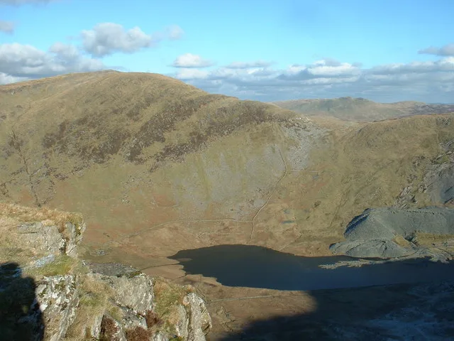
Moel Maelogan
In or near Capel Garmon.
Moel Maelogan — Named summit at 424 m.

Wikimedia Commons contributors — see linked file page for photographer and licence licence
Plan your visit
- Typical visit
- 3 h–8 h
- Best time of year
- Late spring – early autumn (May–Oct)
- Nearest railway station
- Llanrwst · 4.6 km
- Free entry
- Dog-friendly
Getting there & planning your visit
To visit Moel Maelogan, the nearest railway station is Llanrwst, which is 4.6 km away. The postcode for navigation is LL26 0NY, and entry is free.
About
Moel Maelogan is a named summit in the United Kingdom. Wikidata describes it as: "Named summit at 424 m.". Coordinates: 53.1369°, -3.7251°.
Photo gallery
From the Wikipedia article
Moel Maelogan (shown on O.S. maps as 'Maelogen', and also sometimes spelled 'Moelogan' and 'Mælogan') is a hill (summit height 424m) on the western edge of Mynydd Hiraethog (also known as the Denbigh Moors) in north Wales, and overlooking the Conwy Valley. It is known mostly as the general location of a wind farm. The initial three turbines were erected in 2002, and started generating in January 2003; each turbine is capable of producing 1300 kW. This scheme marked erection of the UK wind industry's 1000th turbine and was initially welcomed, as it had been set up by three local farmers to boost their incomes, under the name of Cwmni Gwynt Teg ("Fair Wind Company"). After commissioning, however, it was opposed by some, not least because, although not located in the Snowdonia National Park itself, the turbines are visible from many parts of it. Of the three turbines, two were owned and operated by the local farming co-operative; the third was owned and operated by Energiekontor UK Ltd, the UK subsidiary of the German wind development company Energiekontor AG, which was instrumental in the finance and construction of the wind farm. The electricity produced goes to the local Llanrwst sub-station 4.5 km away, and is sold to the Non-Fossil Purchasing Agency. Under the project name of "Ail Wynt" (Second Wind), Cwmni Gwynt Teg planned a further 11 turbines but this was rejected. Despite further opposition an amended plan for an additional 9 turbines was passed, and these were built and commissioned in 2008 "within a more compact area and at reduced height". Cwmni Gwynt Teg won an Ashden Award in 2003 for its work on the wind farm.
Excerpt from Wikipedia under CC BY-SA 4.0. See the source article linked in Sources below.
- Coordinates
- 53.1369, -3.7251
- District
- Conwy
- Parish
- Bro Garmon
- Postcode
- LL26 0NY
- Parliamentary constituency
- Bangor Aberconwy
- Nearest railway station
- Llanrwst — 4.6 km
Sources
- osm: n3295717599 (ODbL)
- wikipedia: Moel Maelogan (CC BY-SA 4.0)
- commons: Moel Maelogan turbines.jpg (CC BY-SA 4.0)
Other places nearby

Cefn Efran
Mountains & hills · 1.8 km

Foelasfechan
Mountains & hills · 1.8 km

Ffrithuchaf
Mountains & hills · 1.9 km

Pen Henffrith
Mountains & hills · 2.6 km

Moel Gydia
Mountains & hills · 2.6 km

Maes-y-Bryn
Campsites · 2.6 km

Cefn-rhydd
Mountains & hills · 2.8 km

Church of St Winifred
Historic churches · 3.0 km

Gwytherin
Villages · 3.2 km

Road Bridge 60m E of Melin-y-Coed Bridge
Historic bridges · 3.3 km
Melin-y-Coed Bridge and adjoining revetment walls to E and W.
Historic bridges · 3.4 km

Pen Bryn Y Clochydd
Mountains & hills · 3.7 km
Nearby
📷 5📷 5Mountains & hills · North Wales
Foelasfechan
Foelasfechan — mountain in wales north. Elevation: 417 m.
📷 3Mountains & hills · North Wales
Ffrithuchaf
Ffrithuchaf — a mountain in wales-north, United Kingdom, 404 m.
📷 5Mountains & hills · North Wales
Pen Henffrith
Pen Henffrith — a mountain in wales-north, United Kingdom, 302 m.
📷 5📷 4Where to eat & stay near Moel Maelogan
Places to stay
📷 4 📷 5
📷 5 📷 5
📷 5Caravan parks · North Wales
Pen Isaf Farm Caravan Park
Pen Isaf Farm Caravan Park — a caravan park in wales north.
 📷 5
📷 5 📷 5
📷 5Caravan parks · North Wales
Pentre Felin Caravan Park
Pentre Felin Caravan Park — a caravan park in wales north.
 📷 5
📷 5Places to eat & drink
 📷 5
📷 5 📷 7📷 7
 📷 5
📷 5 📷 5
📷 5Historic pubs · North Wales
Penrhyn Old Hall
Penrhyn Old Hall in Wales North, United Kingdom.
 📷 5
📷 5More mountains in this region
 📷 5
📷 5Mountains & hills · North Wales
Cemlyn Bay and lagoon
Cemlyn Bay and lagoon — Site of Special Scientific Interest in Wales.
 📷 3
📷 3Mountains & hills · North Wales
Aberffraw Bay
Aberffraw Bay — bay on the west coast of Anglesey, in Wales, UK.
 📷 3
📷 3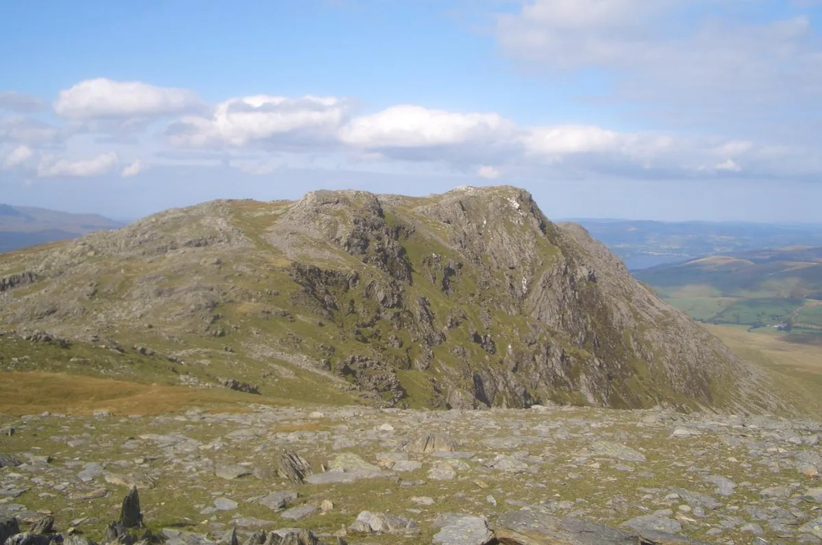 📷 3
📷 3Mountains & hills · North Wales
Aran Benllyn
Aran Benllyn — Named summit at 884 m.
Frequently asked questions
- Where is Moel Maelogan?
- Moel Maelogan is in North Wales, United Kingdom (postcode LL26 0NY), in the parish of Bro Garmon.
- What is Moel Maelogan?
- Moel Maelogan — Named summit at 424 m.
- How do I get to Moel Maelogan?
- The nearest railway station is Llanrwst, about 4.6 km away. Drivers can use postcode LL26 0NY.
- Who owns Moel Maelogan?
- Moel Maelogan is owned by Co WP Mombkg UK branch.
- Is Moel Maelogan free to visit?
- Yes, Moel Maelogan is free to enter.
- How do I get to Moel Maelogan?
- The nearest railway station is Llanrwst, about 4.6 km away. Drivers can navigate to postcode LL26 0NY.