
Archaeological sites · South East England
Moats
In or near Elstead.
Moats — an archaeological site in South East England, United Kingdom.

Stefan Czapski — CC BY-SA 2.0 via Wikimedia Commons licence

Plan your visit
- Typical visit
- 45 min–1.5 h
- Nearest railway station
- Wanborough · 3.2 km
- Free entry
- Dog-friendly
About
Moats is an archaeological site located in South East England, United Kingdom. Sourced from OpenStreetMap (ODbL licence); see local listings for visitor information, opening hours and admission details.
Photo gallery
Protected designations
- National Nature Reserve: WEALDEN HEATHS
- Area of Outstanding Natural Beauty: Surrey Hills
Designations sourced from Natural England open data under OGL v3.
Place summary
Moats are archaeological features located in South-East England. These water-filled ditches were historically used for defence and are often associated with medieval structures. They provide insight into the landscape and fortification methods of the period.
AI-generated from the structured facts on this page (operator, designation, listing, era). Not a substitute for visiting.
- Coordinates
- 51.2207, -0.6934
- County
- Surrey
- District
- Guildford
- Parish
- Puttenham
- Postcode
- GU10 1HL
- Parliamentary constituency
- Godalming and Ash
- Nearest railway station
- Wanborough — 3.2 km
Sources
- osm: node/921313695 (ODbL)
Other places nearby

Lascombe House
Manor houses · 0.7 km

Hillbury hillfort
Vineyards · 0.9 km

Waggoners
Campsites · 0.9 km

Earthwork
Archaeological sites · 1.0 km
Murtmoor
Manor houses · 1.0 km

Christmas Pie Trail
Mountain bike trails · 1.5 km

Seale chalk pit nature reserve
Wildlife reserves · 1.5 km

Seale chalk pit nature reserve
Archaeological sites · 1.5 km

Puttenham
Villages · 1.6 km

Seale War Memorial
Memorials & monuments · 1.7 km

Puttenham War Memorial
Memorials & monuments · 1.9 km

Puttenham Barn Bunkhouse
Hostels · 1.9 km
Nearby
📷 5Manor houses · South East England
Lascombe House
Lascombe House — a manor in South East England, United Kingdom.
📷 5Vineyards · South East England
Hillbury hillfort
Hillbury hillfort — a UK vineyard in england south east, producing English or Welsh wine from cool-climate grape varieties.
📷 5Campsites · South East England
Waggoners
Waggoners — a campsite in england south east.
📷 5Archaeological sites · South East England
Earthwork
Earthwork — an archaeological site in South East England, United Kingdom.
📷 5📷 5Mountain bike trails · South East England
Christmas Pie Trail
Christmas Pie Trail — a mtb trail in england south east.
Where to eat & stay near Moats
Places to stay
📷 5Campsites · South East England
Waggoners
Waggoners — a campsite in england south east.
📷 5Hostels · South East England
Puttenham Barn Bunkhouse
Puttenham Barn Bunkhouse — a hostel in england south east.
 📷 5
Campsites · South East England
Herons Wey Campsite
Herons Wey Campsite — a campsite in england south east.
📷 5Campsites · South East England
Garners Field Campsite
Garners Field Campsite — a campsite in england south east.
 📷 5
Hotels · South East England
The Kings Arms and Royal Hotel
The Kings Arms and Royal Hotel — a hotel in england south east.
 📷 5
Places to eat & drink
 📷 5
Historic pubs · South East England
The Withies Inn
The Withies Inn in England South East, United Kingdom.
 📷 5
Historic pubs · South East England
The Stag on the River
The Stag on the River in England South East, United Kingdom.
 📷 7
Historic pubs · South East England
The Richmond Arms Public House
The Richmond Arms Public House in England South East, United Kingdom.
 📷 7
Historic pubs · South East England
The Fox Public House
The Fox Public House in England South East, United Kingdom.
 📷 7
Historic pubs · South East England
William Cobbett Public House
William Cobbett Public House in England South East, United Kingdom.
 📷 7
Historic pubs · South East England
8 And 9 (The Queens Head), The Borough
8 And 9 (The Queens Head), The Borough in England South East, United Kingdom.
More archaeological sites in this region
 📷 5
Archaeological sites · South East England
Chatham Dockyard, site of South Mast Pond
Chatham Dockyard, site of South Mast Pond — archaeological site in Medway, Kent, England, UK.
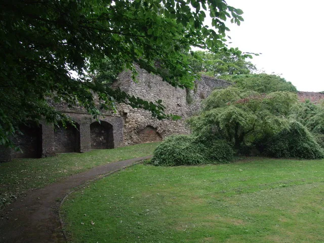 📷 5
Archaeological sites · South East England
Open areas within Roman, Saxon and medieval town
Open areas within Roman, Saxon and medieval town — archaeological site in Medway, Kent, England, UK.
 📷 5
Archaeological sites · South East England
Oxmoor Copse
Oxmoor Copse — woodland in Surrey, England.
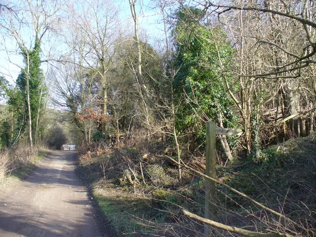 📷 5
Frequently asked questions
- Where is Moats?
- Moats is in Surrey, South-East England, United Kingdom (postcode GU10 1HL), in the parish of Puttenham.
- What is Moats?
- Moats — an archaeological site in South East England, United Kingdom.
- How do I get to Moats?
- The nearest railway station is Wanborough, about 3.2 km away. The nearest town is Elstead. Drivers can use postcode GU10 1HL.
- Is Moats a protected site?
- Yes — Moats is part of the WEALDEN HEATHS National Nature Reserve and the Surrey Hills National Landscape (AONB).
- Is Moats free to visit?
- Yes, Moats is free to enter.
- How do I get to Moats?
- The nearest railway station is Wanborough, about 3.2 km away. Drivers can navigate to postcode GU10 1HL.