
Islands · Scottish Highlands
Mingulay
Mingulay — island in the south of the Outer Hebrides, Scotland, UK.

Wikimedia Commons contributors — see linked file page for photographer and licence licence

Plan your visit
- Typical visit
- 4 h–12 h
- Free entry
- Family-friendly
- Dog-friendly
- Limited wheelchair access
About
Mingulay is a island in the United Kingdom. It covers approximately 640 km². Owned by National Trust for Scotland. Managed by National Trust for Scotland. Part of Outer Hebrides. Wikidata describes it as: "island in the south of the Outer Hebrides, Scotland, UK". Coordinates: 56.8115°, -7.6375°.
Photo gallery
From the Wikipedia article
Mingulay (Scottish Gaelic: Miughalaigh) is the second largest of the Barra Isles in the Outer Hebrides of Scotland. Located 12 nautical miles (22 kilometres) south of Barra, it is known for an extensive Gaelic oral tradition incorporating folklore, song and stories and its important seabird populations, including puffins, black-legged kittiwakes, and razorbills, which nest in the sea-cliffs, amongst the highest in the British Isles. There are Iron Age remains, and the culture of the island was influenced by early Christianity and the Vikings. Between the 15th and 19th centuries Mingulay was part of the lands of Clan MacNeil of Barra, but subsequently suffered at the hands of absentee landlords. After two thousand years or more of continuous habitation, the island was abandoned by its Gaelic-speaking residents in 1912 and has remained uninhabited since. It is no longer used for grazing sheep. The island is also associated with the "Mingulay Boat Song", although that was composed in 1938. The National Trust for Scotland has owned Mingulay since 2000.
Excerpt from Wikipedia under CC BY-SA 4.0. See the source article linked in Sources below.
Background
Visiting
The island attracts regular visits from naturalists and in recent years has also become popular with rock climbers. The National Trust for Scotland operates two licensed boatmen from Barra and further information may be available at the tourist office in Castlebay. There is an "occasional" anchorage in Mingulay Bay sheltered from westerly winds. Landing on the beach may be difficult as there is a regular heavy swell and approaching the old landing place at Aneir may be easier. There is also a landing place at Skipisdale.
Sourced from Wikipedia under CC BY-SA 4.0.
- Coordinates
- 56.8115, -7.6375
- Official site
- www.nts.org.uk
Sources
- wikidata: Q1533261 (CC0)
- wikipedia: Mingulay (CC BY-SA 4.0)
- commons: Western cliffs of Mingulay.jpg (CC BY-SA 4.0)
Other places nearby
Loading nearby places…
Nearby
 📷 4
📷 4Islands · Scottish Islands
Barra Isles
Barra Isles in Scotland Islands, United Kingdom.
Vineyards · Scottish Highlands
Mingulay, Dun Mhiughlaigh
Mingulay, Dun Mhiughlaigh — a UK vineyard in scotland highlands, producing English or Welsh wine from cool-climate grape varieties.
 📷 4
📷 4Mountains & hills · Scottish Islands
Arnamul
Arnamul in Scotland Islands, United Kingdom.
 📷 3
📷 3Archaeological sites · Scottish Highlands
Gearum Beag, dun site
Gearum Beag, dun site — a archaeological in scotland-highlands, United Kingdom.
Vineyards · Scottish Highlands
Mingulay, Geirum Mor
Mingulay, Geirum Mor — a UK vineyard in scotland highlands, producing English or Welsh wine from cool-climate grape varieties.
Vineyards · Scottish Highlands
Berneray, Dun Briste
Berneray, Dun Briste — a UK vineyard in scotland highlands, producing English or Welsh wine from cool-climate grape varieties.
More places run by National Trust for Scotland
 Flagship📷 5
Islands · Scottish Highlands
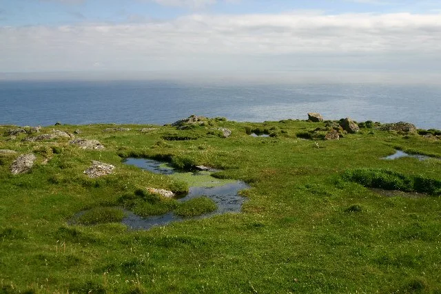
Barra Head
Barra Head — southernmost island of the Outer Hebrides in Scotland, UK.
 📷 4
📷 4Islands · Scottish Highlands
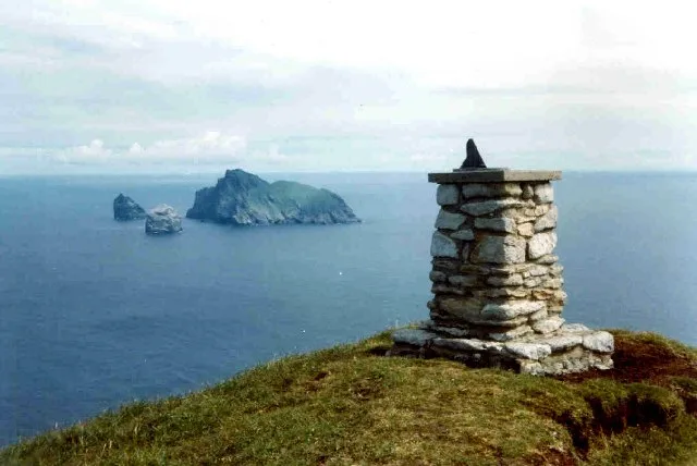
Boreray
Boreray — uninhabited island in St Kilda archipelago, Scotland.
 Flagship📷 5
Islands · Scottish Highlands
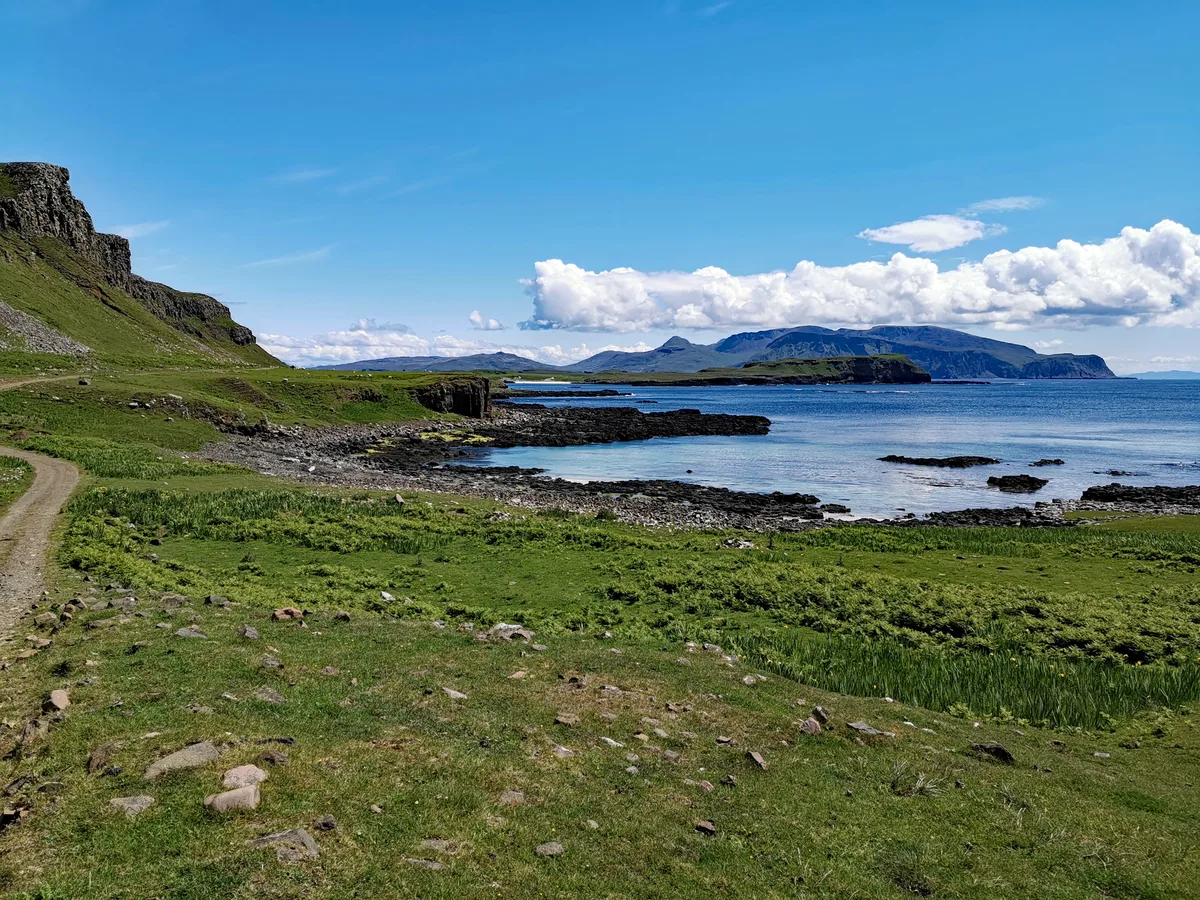
Canna
Canna — island in Inner Hebrides, Scotland, UK.
 Flagship📷 5
Islands · Scottish Highlands
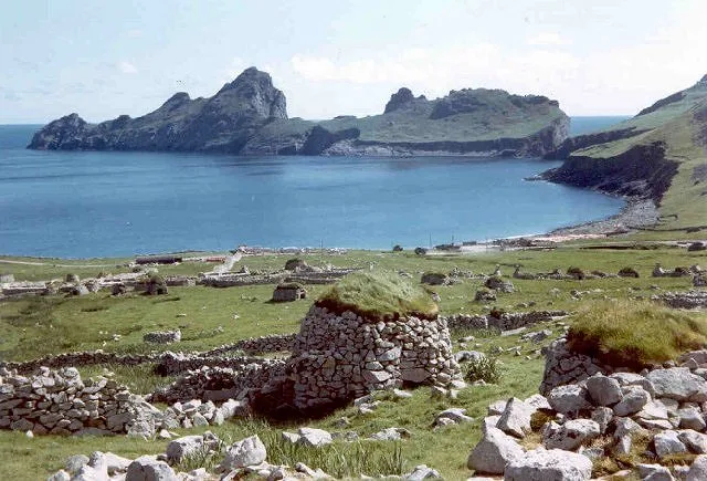
Dùn
Dùn — island of St Kilda, Outer Hebrides, Scotland, UK.
More places in this region
 📷 5
📷 5Islands · Scottish Highlands
Bac Beag
Bac Beag — Scottish island, part of the Treshnish Isles in the Inner Hebrides.
 📷 5
📷 5Islands · Scottish Highlands
Bac Mòr
Bac Mòr — island in Argyll and Bute, Scotland, UK, one of the Treshnish Isles.
 Flagship📷 3
Islands · Scottish Highlands
Baleshare
Baleshare — flat tidal island in the Outer Hebrides, Scotland, UK.
 Flagship📷 5
Islands · Scottish Highlands
Barra
Barra — island in Outer Hebrides, Scotland, UK.
Frequently asked questions
- Where is Mingulay?
- Mingulay is in the Scottish Highlands, United Kingdom.
- Who runs Mingulay?
- Mingulay is operated by National Trust for Scotland.
- Is Mingulay free to visit?
- Yes, Mingulay is free to enter.