Country parks · East of England
Miners' Welfare Park
In or near Stockton.
Miners' Welfare Park — park in Bedworth, England.

Wikimedia Commons contributors — see linked file page for photographer and licence licence
Plan your visit
- Typical visit
- 1.5 h–3 h
- Nearest railway station
- Beccles · 6.8 km
- Free entry
- Family-friendly
- Dog-friendly
About
Miners' Welfare Park is a country park in the United Kingdom. Wikidata describes it as: "park in Bedworth, England". Coordinates: 52.4747°, 1.4731°.
Photo gallery
Official information
Miners' Welfare Park is a public park offering green spaces for relaxation and recreation. Visitors can enjoy walking paths, playgrounds, and various outdoor activities.
From the Wikipedia article
Miners' Welfare Park is the premier urban park in Bedworth, Warwickshire, England.
Excerpt from Wikipedia under CC BY-SA 4.0. See the source article linked in Sources below.
Background
History
This park was originally purchased by Bedworth Miners' Welfare Committee in 1921 to offer recreation to the miners and their families. A winding wheel was erected in the park as a tribute to the miners in 1986. In 2000, it won 'Best Park in the UK' in the Britain in Bloom competition. It is now managed by Nuneaton and Bedworth Borough Council.
Sourced from Wikipedia under CC BY-SA 4.0.
- Coordinates
- 52.4747, 1.4731
- County
- Norfolk
- District
- South Norfolk
- Parish
- Ellingham
- Postcode
- NR35 2EW
- Parliamentary constituency
- Waveney Valley
- Nearest railway station
- Beccles — 6.8 km
- Opening
- All year
- Official site
- www.nuneatonandbedworth.gov.uk
Sources
- wikidata: Q60745013 (CC0)
- wikipedia: Miners' Welfare Park (CC BY-SA 4.0)
- commons: Miners' Welfare Park, Bedworth - geograph.org.uk - 799061.jpg (CC BY-SA 4.0)
Other places nearby

Ellingham War Memorial
Memorials & monuments · 0.7 km

Ellingham Village Sign
Public art & sculpture · 0.7 km

Siddiqa Nawaz Mosque & Community Centre
Historic churches · 1.0 km
Broome Village Sign
Public art & sculpture · 1.0 km
Broome Beacon
Memorials & monuments · 1.1 km

Ellingham
Villages · 1.2 km

Wardley Hill Campsite
Campsites · 1.3 km

Kirby Cane Village Sign
Public art & sculpture · 1.6 km

Mettingham
Villages · 2.0 km

Mettingham Village Sign
Public art & sculpture · 2.0 km
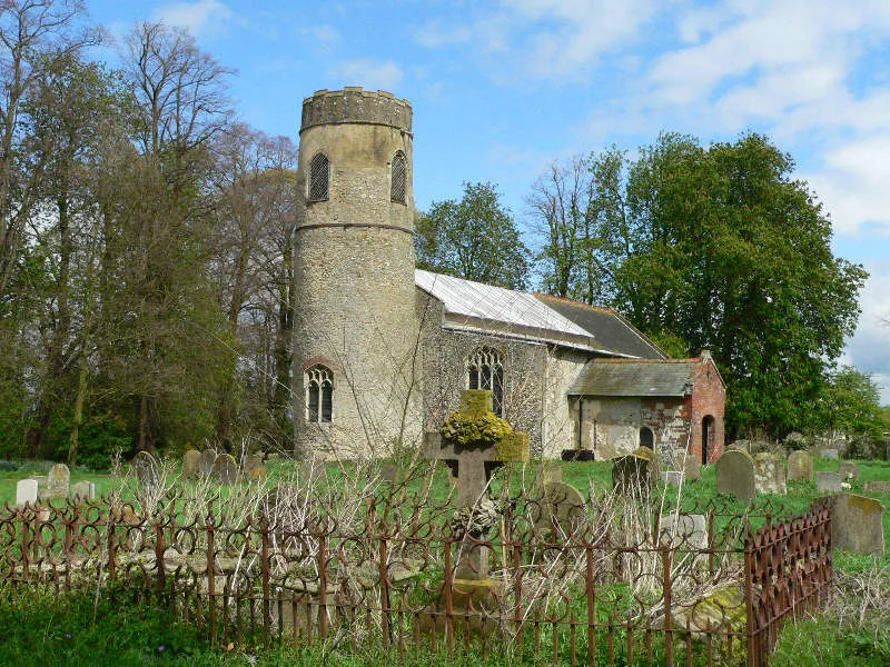
Church of All Saints
Historic churches · 2.0 km

Ditchingham
Villages · 2.2 km
Nearby
📷 3Memorials & monuments · East of England
Ellingham War Memorial
Ellingham War Memorial — Grade II listed building-listed memorial in england-east, United Kingdom.
📷 3Public art & sculpture · East of England
Ellingham Village Sign
Ellingham Village Sign — a public art in england-east, United Kingdom.
📷 5Historic churches · East of England
Siddiqa Nawaz Mosque & Community Centre
Siddiqa Nawaz Mosque & Community Centre — a church in england-east, United Kingdom.
📷 3Public art & sculpture · East of England
Broome Village Sign
Broome Village Sign — a public art in england-east, United Kingdom.
📷 3Memorials & monuments · East of England
Broome Beacon
Broome Beacon — a memorial in england-east, United Kingdom.
📷 5Where to eat & stay near Miners' Welfare Park
Places to stay
📷 5Campsites · East of England
Wardley Hill Campsite
Wardley Hill Campsite — a campsite in england east.
 📷 5
📷 5Campsites · East of England
Three Rivers Pitch & Paddle
Three Rivers Pitch & Paddle — a campsite in england east.
 📷 5
📷 5Caravan parks · East of England
Outney Meadow Caravan Park
Outney Meadow Caravan Park — a caravan park in england east.
 📷 5
📷 5Hotels · East of England
The Kings Head Hotel
The Kings Head Hotel — a hotel in england east.
 📷 5
📷 5 📷 5
📷 5Places to eat & drink
 📷 7
📷 7 📷 5
📷 5Historic pubs · East of England
Crown And Anchor Public House
Crown And Anchor Public House in England East, United Kingdom.
 📷 5
📷 5 📷 5
📷 5Historic pubs · East of England
The Top House Public House, Including Boundary Wall To Yard
The Top House Public House, Including Boundary Wall To Yard in England East, United Kingdom.
 📷 5
📷 5Historic pubs · East of England
Cherry Tree Public House
Cherry Tree Public House in England East, United Kingdom.
 📷 5
📷 5More places in this region
 Flagship📷 10
Country parks · East of England
Harlow Town Park
Harlow Town Park — park in Harlow, Essex, England, UK.
 📷 5
📷 5Country parks · East of England
Christ's Pieces
Christ's Pieces — Park in Cambridge, England.
 📷 5
📷 5Country parks · East of England
Hartham Common
Hartham Common — park in Hertford, Hertfordshire, England, UK.
 📷 5
📷 5Country parks · East of England
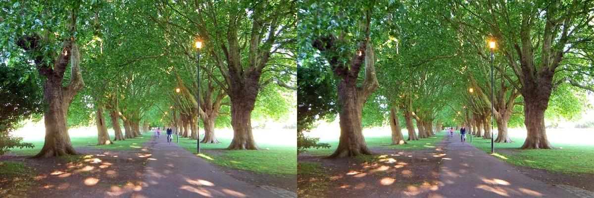
Jesus Green
Jesus Green — park in the north of central Cambridge, England.
Frequently asked questions
- Where is Miners' Welfare Park?
- Miners' Welfare Park is in Norfolk, East of England, United Kingdom (postcode NR35 2EW), in the parish of Ellingham.
- What is Miners' Welfare Park?
- Miners' Welfare Park — park in Bedworth, England.
- How do I get to Miners' Welfare Park?
- The nearest railway station is Beccles, about 6.8 km away. Drivers can use postcode NR35 2EW.
- Who owns Miners' Welfare Park?
- Miners' Welfare Park is owned by Nuneaton and Bedworth Borough Council.
- Is Miners' Welfare Park free to visit?
- Yes, Miners' Welfare Park is free to enter.
- How do I get to Miners' Welfare Park?
- The nearest railway station is Beccles, about 6.8 km away. Drivers can navigate to postcode NR35 2EW.