
Archaeological sites · Central Scotland
Mine
In or near West Calder.
Mine — a archaeological in scotland-central, United Kingdom.

Alan Stewart — CC BY-SA 2.0 via Wikimedia Commons licence

Plan your visit
- Typical visit
- 45 min–1.5 h
- Nearest railway station
- West Calder · 4.9 km
- Free entry
- Dog-friendly
About
Mine is a archaeological located in scotland-central, United Kingdom. Sourced from OpenStreetMap (ODbL licence); see local listings for visitor information, opening hours and admission details.
Photo gallery
Place summary
Mine is an archaeological site located in central Scotland. It features remnants that provide insights into historical mining practices in the region. The site is significant for its contributions to understanding the area's industrial heritage.
AI-generated from the structured facts on this page (operator, designation, listing, era). Not a substitute for visiting.
- Coordinates
- 55.8145, -3.5316
- District
- West Lothian
- Postcode
- EH55 8RX
- Parliamentary constituency
- Livingston
- Nearest railway station
- West Calder — 4.9 km
Sources
- osm: way/125738773 (ODbL)
Other places nearby
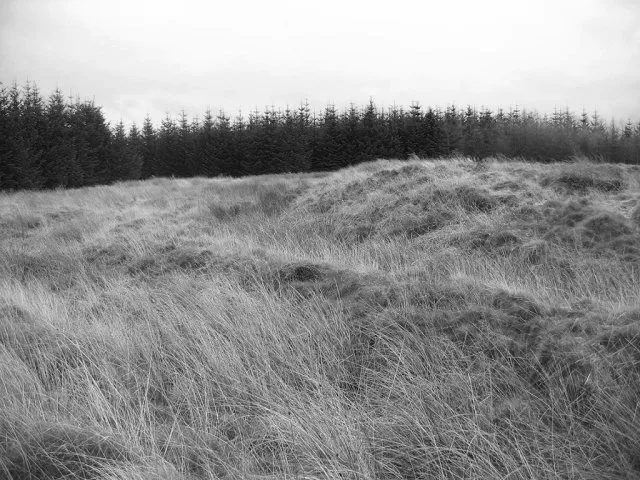
Castle Greg
Hill forts · 0.9 km

Castle Greg Roman Fortlet
Castles · 0.9 km

Monument to Charles X of France
Memorials & monuments · 1.9 km
Monument, Harburn House
Memorials & monuments · 1.9 km

Crosswood Reservoir
Reservoirs & lochs · 2.4 km

Cobbinshaw Reservoir
Reservoirs & lochs · 2.4 km

Cobbinshaw Reservoir
Reservoirs & lochs · 2.7 km

Hermand No.5 Shale Mine
Archaeological sites · 3.3 km

Black Hill
Mountains & hills · 3.4 km

Pearie Law
Mountains & hills · 3.4 km

Maiden Hill
Mountains & hills · 3.5 km
Torweaving Hill
Mountains & hills · 3.6 km
Nearby
📷 3Hill forts · Central Scotland
Castle Greg
Castle Greg — archaeological site of a Roman fort in West Lothian, Scotland, UK.
📷 3Castles · Central Scotland
Castle Greg Roman Fortlet
Castle Greg Roman Fortlet — a castle in scotland-central, United Kingdom.
📷 3Memorials & monuments · Central Scotland
Monument to Charles X of France
Monument to Charles X of France — a memorial in scotland-central, United Kingdom.
📷 5Memorials & monuments · Central Scotland
Monument, Harburn House
Monument, Harburn House — category B listed building-listed memorial in scotland-central, United Kingdom.
📷 3Reservoirs & lochs · Central Scotland
Crosswood Reservoir
Crosswood Reservoir — reservoir in West Lothian, Scotland, UK.
📷 3Reservoirs & lochs · Central Scotland
Cobbinshaw Reservoir
Cobbinshaw Reservoir — lake in West Lothian, Scotland, UK.
Where to eat & stay near Mine
Places to stay
 📷 5
📷 5Campsites · Central Scotland
Hilly Cow Wigwams
Hilly Cow Wigwams — a campsite in scotland central.
 📷 5
📷 5Caravan parks · Central Scotland
Mosshall Farm Caravan Park
Mosshall Farm Caravan Park — a caravan park in scotland central.
 📷 7
📷 7Hotels · Central Scotland
Allan Ramsay Hotel
Allan Ramsay Hotel — a hotel in scotland central.
 📷 5
📷 5Campsites · Central Scotland
Linwater Caravan Park
Linwater Caravan Park — a campsite in scotland central.
 📷 5
📷 5Hotels · Central Scotland
Dalmahoy Hotel & Country Club
Dalmahoy Hotel & Country Club — a hotel in scotland central.
 📷 5
📷 5Campsites · Central Scotland
The Craigs Camping and Training Centre
The Craigs Camping and Training Centre — a campsite in scotland central.
Places to eat & drink
 📷 4
📷 4Historic pubs · Central Scotland
Livingston Inn
Livingston Inn — Historic pub — listed building or notable heritage status.
 📷 7
📷 7Historic pubs · Central Scotland
Oatridge Hotel, 2, 4 East Main Street, Uphall
Oatridge Hotel, 2, 4 East Main Street, Uphall in Scotland Central, United Kingdom.
 📷 6
📷 6Historic pubs · Scottish Lowlands
74 Main Street, Carnwath
74 Main Street, Carnwath in Scotland Central, United Kingdom.
 📷 7
📷 7Historic pubs · Central Scotland
Red Lion Inn, 50 High Street, Linlithgow
Red Lion Inn, 50 High Street, Linlithgow in Scotland Central, United Kingdom.
 📷 7
📷 7Historic pubs · Central Scotland
The Crown Arms, 177-179 High Street, Linlithgow
The Crown Arms, 177-179 High Street, Linlithgow in Scotland Central, United Kingdom.
 📷 7
📷 7Historic pubs · Central Scotland
Craigiebield House Hotel, 50 Bog Road, Penicuik
Craigiebield House Hotel, 50 Bog Road, Penicuik in Scotland Central, United Kingdom.
More archaeological sites in this region
 📷 3
📷 3Archaeological sites · Central Scotland
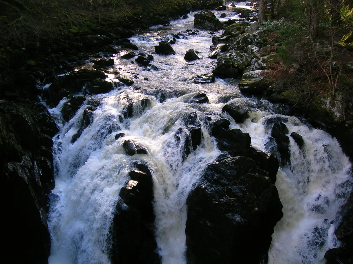
Craigvinean Forest
Craigvinean Forest — forest in Perth and Kinross, Scotland, UK.
 📷 5
📷 5Archaeological sites · Central Scotland
Ballymeanoch
Ballymeanoch in Scotland Islands, United Kingdom.
 📷 5
📷 5Archaeological sites · Central Scotland
Stirling torcs
Stirling torcs in Scotland Islands, United Kingdom.
 📷 3
📷 3Archaeological sites · Central Scotland
Black Hill Roman Camps
Black Hill Roman Camps in Scotland Islands, United Kingdom.
Frequently asked questions
- Where is Mine?
- Mine is in central Scotland, United Kingdom (postcode EH55 8RX).
- What is Mine?
- Mine — a archaeological in scotland-central, United Kingdom.
- How do I get to Mine?
- The nearest railway station is West Calder, about 4.9 km away. The nearest town is West Calder. Drivers can use postcode EH55 8RX.
- Is Mine free to visit?
- Yes, Mine is free to enter.
- How do I get to Mine?
- The nearest railway station is West Calder, about 4.9 km away. Drivers can navigate to postcode EH55 8RX.