
Historic bridges · East Midlands
Mill Bridge And Adjoining Weir
In or near Holbeck.
Mill Bridge And Adjoining Weir — Grade II listed building-listed bridge in england-east-midlands, United Kingdom.

David Hallam-Jones — CC BY-SA 2.0 via Wikimedia Commons licence

Plan your visit
- Typical visit
- 15 min–30 min
- Nearest railway station
- Shirebrook · 3.6 km
- Free entry
- Dog-friendly
Getting there & planning your visit
To visit Mill Bridge and Adjoining Weir, the nearest railway station is Shirebrook, located 3.6 km away. Entry is free.
About
Mill Bridge And Adjoining Weir is a Grade II listed building-listed bridge in england-east-midlands, United Kingdom, registered on the National Heritage List for England (NHLE entry 1251897). Listed status protects buildings and structures of special architectural or historic interest. See the linked Wikipedia article for further details.
Photo gallery
Heritage listing
Details WARSOP CHURCH ROAD SK 56 NE 2/141 Mill bridge and adioining weir (formerly listed as 29.7.66 Millpond bridge and parapet) G.V. II Bridge and adjoining weir. 1767. Coursed and coursed squared rubble. Ashlar dressings. String course and saddleback coping. Bridge has projecting central bay with segmental arch. To left, single opening and to right, 4 unequally spaced openings, all with round heads. Central balustrade has flat vase-shaped balusters. Curved and straight flanking walls have 6 square piers with concave domed caps. Each approx. 25M long. Adjoining weir, to south, has C20 concrete coping. Listing NGR: SK5687468570 Legacy The contents of this record have been generated from a legacy data system. Legacy System number: 434770 Legacy System: LBS
From the Historic England List Entry under OGL v3.
Place summary
Mill Bridge and Adjoining Weir is a Grade II listed bridge located in the East Midlands. This structure is notable for its historical significance and architectural merit, contributing to the region's heritage.
AI-generated from the structured facts on this page (operator, designation, listing, era). Not a substitute for visiting.
- Coordinates
- 53.2112, -1.1498
- County
- Nottinghamshire
- District
- Mansfield
- Parish
- Warsop
- Postcode
- NG20 0SF
- Parliamentary constituency
- Mansfield
- Nearest railway station
- Shirebrook — 3.6 km
Sources
- wikidata: Q26543816 (CC0)
Other places nearby
.jpg?width=1200)
War Memorial
Memorials & monuments · 0.1 km
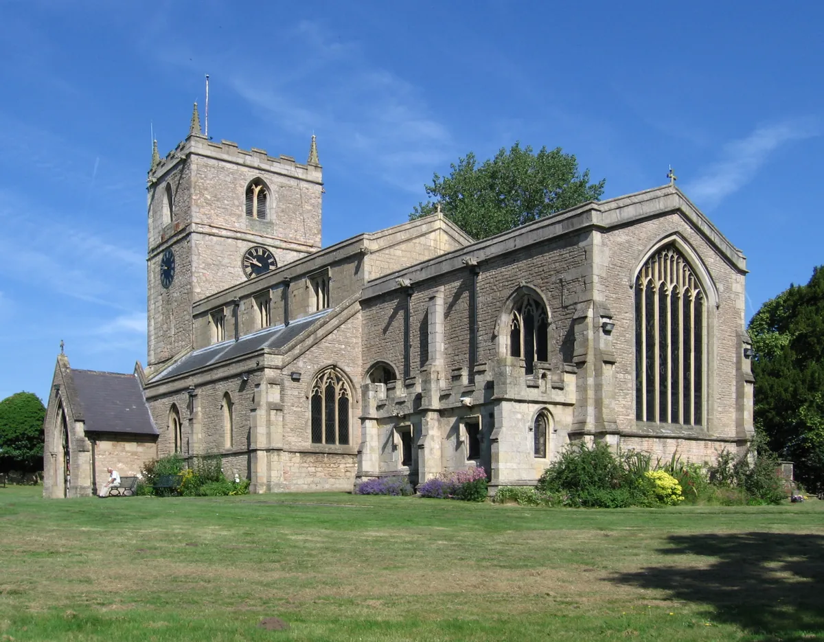
St Peter and St Paul's Church, Church Warsop
Historic churches · 0.2 km

Warsop
Villages · 0.3 km

Market Warsop
Villages · 0.7 km

Warsop
Museums · 1.2 km

Welbeck Colliery
Mountains & hills · 1.6 km

Blakeley Lane Campsite
Campsites · 2.1 km
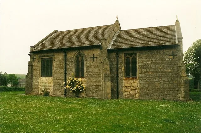
St Augustine's Church
Historic churches · 2.6 km

Norton
Villages · 2.7 km

Cuckney
Villages · 2.7 km

The Greendale Oak Inn
Historic pubs · 2.7 km

Cuckney Castle
Castles · 2.8 km
Nearby
📷 5Memorials & monuments · East Midlands
War Memorial
War Memorial is a memorial in the United Kingdom.
📷 4Historic churches · East Midlands
St Peter and St Paul's Church, Church Warsop
St Peter and St Paul's Church, Church Warsop — church in Mansfield, UK.
📷 5📷 5📷 5Museums · East Midlands
Warsop
Warsop — a museum in england-east-midlands, United Kingdom.
📷 5Mountains & hills · East Midlands
Welbeck Colliery
Welbeck Colliery — a hill or mountain in england east midlands.
Where to eat & stay near Mill Bridge And Adjoining Weir
Places to stay
📷 5Campsites · East Midlands
Blakeley Lane Campsite
Blakeley Lane Campsite — a campsite in england east midlands.
 📷 5
📷 5Campsites · East Midlands
Sherwood Forest Holiday Park
Sherwood Forest Holiday Park — a campsite in england east midlands.
 📷 5
📷 5Hostels · East Midlands
Sherwood Forest Youth Hostel
Sherwood Forest Youth Hostel — a hostel in england east midlands.
 📷 5
📷 5 📷 5
📷 5 📷 5
📷 5Campsites · East Midlands
Clumber Park Lodges
Clumber Park Lodges — a campsite in england east midlands.
Places to eat & drink
📷 5Historic pubs · East Midlands
The Greendale Oak Inn
The Greendale Oak Inn in England East Midlands, United Kingdom.
 📷 5
📷 5Historic pubs · East Midlands
The Bridge Tavern Public House
The Bridge Tavern Public House in England East Midlands, United Kingdom.
 📷 5
📷 5 📷 5
📷 5Historic pubs · East Midlands
The Old Ram Public House
The Old Ram Public House in England East Midlands, United Kingdom.
 📷 5
📷 5Historic pubs · East Midlands
Portland Arms Public House
Portland Arms Public House in England East Midlands, United Kingdom.
 📷 5
📷 5Historic pubs · East Midlands
Hop Pole Hotel And Adjoining Stable Block And Outbuilding
Hop Pole Hotel And Adjoining Stable Block And Outbuilding in England East Midlands, United Kingdom.
More bridges in this region
 📷 5
📷 5Historic bridges · East Midlands
Mill Race Bridge To Market Deeping Mill
Mill Race Bridge To Market Deeping Mill — Grade II listed building-listed bridge in england-london, United Kingdom.
 📷 5
📷 5Historic bridges · East Midlands
Bridge Over West Glen River
Bridge Over West Glen River — Grade II listed building-listed bridge in england-london, United Kingdom.
 📷 5
📷 5Historic bridges · East Midlands
Bridge And Sluices
Bridge And Sluices — Grade II listed building-listed bridge in england-london, United Kingdom.
 📷 5
📷 5Historic bridges · East Midlands
Bridge Over River Gwash
Bridge Over River Gwash — Grade II listed building-listed bridge in england-london, United Kingdom.
Frequently asked questions
- Where is Mill Bridge And Adjoining Weir?
- Mill Bridge And Adjoining Weir is in Nottinghamshire, the East Midlands, United Kingdom (postcode NG20 0SF), in the parish of Warsop.
- What is Mill Bridge And Adjoining Weir?
- Mill Bridge And Adjoining Weir — Grade II listed building-listed bridge in england-east-midlands, United Kingdom.
- How do I get to Mill Bridge And Adjoining Weir?
- The nearest railway station is Shirebrook, about 3.6 km away. Drivers can use postcode NG20 0SF.
- Is Mill Bridge And Adjoining Weir a listed building?
- Mill Bridge And Adjoining Weir is officially recognised as Grade II listed building listed.
- Is Mill Bridge And Adjoining Weir free to visit?
- Yes, Mill Bridge And Adjoining Weir is free to enter.
- How do I get to Mill Bridge And Adjoining Weir?
- The nearest railway station is Shirebrook, about 3.6 km away. Drivers can navigate to postcode NG20 0SF.