
Hill forts · North West England
Milefortlet 21
In or near Crosby.
Milefortlet 21 — milefortlet of the Roman Cumbrian Coast defences, in Crosscanonby, Allerdale, England, UK.

Wikimedia Commons licence
Plan your visit
- Typical visit
- 1 h–2 h
- Nearest railway station
- Maryport · 4.8 km
- Free entry
- Dog-friendly
Getting there & planning your visit
Milefortlet 21 is located in the Scottish Lowlands, with the nearest railway station being Maryport, approximately 4.8 km away. The postcode for the site is CA15 6SL, and entry is free.
About
Milefortlet 21 is a hill fort in the United Kingdom. Heritage designation: scheduled monument. Part of borders of the Roman Empire. Wikidata describes it as: "milefortlet of the Roman Cumbrian Coast defences, in Crosscanonby, Allerdale, England, UK". Coordinates: 54.7466°, -3.4505°.
Photo gallery
See it from the streetimagery from 2020
Imagery © Mapillary contributors, CC BY-SA 4.0
Official information
Milefortlet 21 is a historical site featuring the remains of a Roman frontier defense along the Cumbrian coast. Visitors can see the reconstructed structures and learn about the site's archaeological significance, including its excavation history and the layout of the fortlet.
Protected designations
- Area of Outstanding Natural Beauty: Solway Coast
Designations sourced from Natural England open data under OGL v3.
From the Wikipedia article
Milefortlet 21 (Swarthy Hill) was a Milefortlet of the Roman Cumbrian Coast defences. These defences were contemporary with defensive structures on Hadrian's Wall. Its remains exist as reconstructed turf ramparts (to a height of about 1 metre (3.3 ft)) and ditch, reinstated to its original profile (also around 1 metre (3.3 ft)). They are located on a low cliff on the coast, north of the village of Crosscanonby, and just inland from the coastal road. It is the only milefortlet to have been fully excavated and is open to the public.
Excerpt from Wikipedia under CC BY-SA 4.0. See the source article linked in Sources below.
Background
Architecture
Milefortlet 21 was a long-axis milefortlet, constructed with 6 m wide turf ramparts and timber gates. The ramparts were constructed from turf facings revetting a sand core, giving internal dimensions of 14.5 m by 18 m. The internal dimensions of the seaward gateway was 3 m square, formed of four posts. Internal to the milefortlet was a road (no evidence of which was found outside the ramparts). To the south-west of the road there were three buildings; all apparently built on sleeper walls and of similar size, but not of the same layout. The seaward two shared a common wall, and the third was free standing. The most seaward contained a hearth, and the central building contained a furnace or…
Visiting
The previous access point (from the small car park immediately below the milefortlet) was closed in 2009 or 2010. The site can be accessed via an unmarked but good path. The path begins at a field gate just north-east of the B5300's junction with Crosscanonby Lane. Parking is available a few metres along Crosscanonby Lane.
Sourced from Wikipedia under CC BY-SA 4.0.
- Coordinates
- 54.7466, -3.4505
- District
- Cumberland
- Parish
- Crosscanonby
- Postcode
- CA15 6SL
- Parliamentary constituency
- Penrith and Solway
- Nearest railway station
- Maryport — 4.8 km
Sources
- wikidata: Q6851204 (CC0)
- wikipedia: Milefortlet 21 (CC BY-SA 4.0)
Other places nearby
Swarthy Hill Roman Mile Fortlet 21
Memorials & monuments · 0.0 km

Small multivallate hillfort on Swarthy Hill
Vineyards · 0.3 km

Crosscanonby
Villages · 1.0 km

Crosscanonby War Memorial
Memorials & monuments · 1.0 km
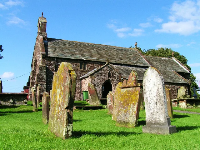
St John the Evangelist's Church, Crosscanonby
Historic churches · 1.1 km

Milefortlet 20
Hill forts · 1.4 km

Low Mire Mile Fortlet 20
Archaeological sites · 1.4 km

Milefortlet 22
Hill forts · 1.5 km

Crosby
Towns & cities · 1.8 km

Crosby Hill
Mountains & hills · 2.0 km
Crosby Hill
Mountains & hills · 2.0 km

Alonby Bay
Natural landmarks · 2.0 km
Nearby
📷 3Memorials & monuments · North West England
Swarthy Hill Roman Mile Fortlet 21
Swarthy Hill Roman Mile Fortlet 21 is a memorial in the United Kingdom.
📷 5Vineyards · North West England
Small multivallate hillfort on Swarthy Hill
Small multivallate hillfort on Swarthy Hill — a UK vineyard in scotland lowlands, producing English or Welsh wine from cool-climate grape varieties.
📷 5📷 3Memorials & monuments · North West England
Crosscanonby War Memorial
Crosscanonby War Memorial — Grade II listed building-listed memorial in scotland-lowlands, United Kingdom.
📷 3Historic churches · North West England
St John the Evangelist's Church, Crosscanonby
St John the Evangelist's Church, Crosscanonby — Grade I listed church in Crosscanonby, Cumberland, Cumbria , England, UK.
📷 3Hill forts · North West England
Milefortlet 20
Milefortlet 20 — milefortlet of the Roman Cumbrian Coast defences.
Where to eat & stay near Milefortlet 21
Places to stay
 📷 5
📷 5Caravan parks · North West England
Old Kiln Farm Caravan Club
Old Kiln Farm Caravan Club — a caravan park in scotland lowlands.
 📷 5
📷 5Caravan parks · North West England
Harbour Side Caravan Site
Harbour Side Caravan Site — a caravan park in scotland lowlands.
 📷 5
📷 5Caravan parks · North West England
Brigham Holiday Park
Brigham Holiday Park — a caravan park in scotland lowlands.
 📷 5
📷 5Caravan parks · North West England
Threapland Park
Threapland Park — a caravan park in scotland lowlands.
 📷 5
📷 5Caravan parks · North West England
Rowanbank Caravan Park
Rowanbank Caravan Park — a caravan park in scotland lowlands.
 📷 7
📷 7Hotels · North West England
The Trout Hotel
The Trout Hotel — a hotel in scotland lowlands.
Places to eat & drink
 📷 7
📷 7Historic pubs · North West England
The Pheasant Inn
The Pheasant Inn in Scotland Lowlands, United Kingdom.
 📷 5
📷 5Historic pubs · North West England
Kings Arms Walter Willsons
Kings Arms Walter Willsons in Scotland Lowlands, United Kingdom.
 📷 5
📷 5Historic pubs · North West England
Fox and Grapes
Fox and Grapes in England North West, United Kingdom.
More places in this region
 📷 5
📷 5Hill forts · North West England
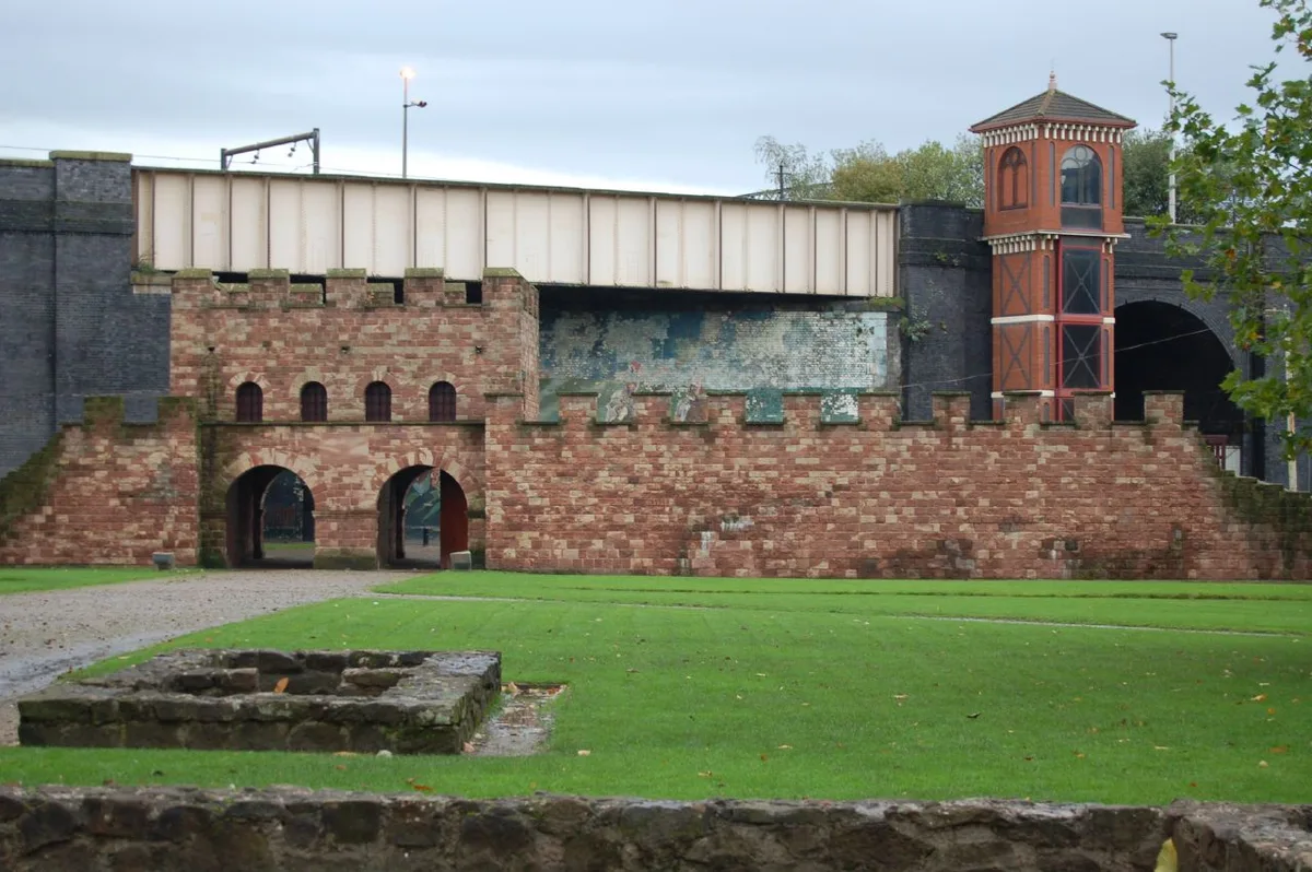
Mamucium
Mamucium — former Roman fort in the Castlefield area of Manchester in North West England.
 📷 3
📷 3Hill forts · North West England
Timperley Hall
Timperley Hall is a hill fort in the United Kingdom.
 📷 3
📷 3Hill forts · North West England
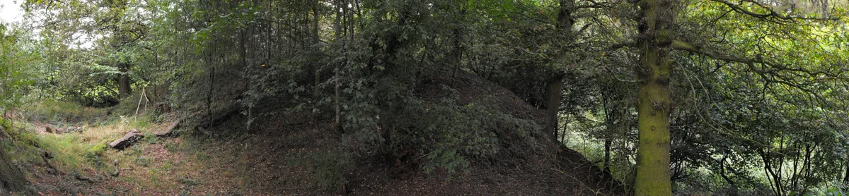
Watch Hill Castle
Watch Hill Castle — medieval castle in Bowdon, Greater Manchester, England, UK.
 📷 5
📷 5Hill forts · North West England
Buckton Castle
Buckton Castle — 12th-century castle in Mossley, Greater Manchester, England, UK.
Frequently asked questions
- Where is Milefortlet 21?
- Milefortlet 21 is in North-West England, United Kingdom (postcode CA15 6SL), in the parish of Crosscanonby.
- What is Milefortlet 21?
- Milefortlet 21 — milefortlet of the Roman Cumbrian Coast defences, in Crosscanonby, Allerdale, England, UK.
- How do I get to Milefortlet 21?
- The nearest railway station is Maryport, about 4.8 km away. The nearest town is Crosby. Drivers can use postcode CA15 6SL.
- Is Milefortlet 21 a listed building?
- Milefortlet 21 is officially recognised as scheduled monument listed.
- Is Milefortlet 21 a protected site?
- Yes — Milefortlet 21 is part of the Solway Coast National Landscape (AONB).
- Is Milefortlet 21 free to visit?
- Yes, Milefortlet 21 is free to enter.
- How do I get to Milefortlet 21?
- The nearest railway station is Maryport, about 4.8 km away. Drivers can navigate to postcode CA15 6SL.