
Museums · East of England
Mildenhall, Suffolk
In or near Cavenham.
Mildenhall is a market town in the civil parish of Mildenhall High, in the West Suffolk district, in the county of Suffolk, England. The town is near the A11, and is 37 mi (60 km) north-west of Ipswic

Adrian S Pye — CC BY-SA 2.0 via Wikimedia Commons licence

Plan your visit
- Typical visit
- 1.5 h–3 h
- Best time of year
- Year-round
- Nearest railway station
- Kennett · 7.6 km
- Free entry
- Family-friendly
- Limited wheelchair access
Getting there & planning your visit
To visit Mildenhall in Suffolk, the nearest railway station is Kennett, which is 7.6 km away. The postcode for sat-nav is IP28 7JJ. Please note that wheelchair accessibility is limited.
About
Mildenhall is a market town in the civil parish of Mildenhall High, in the West Suffolk district, in the county of Suffolk, England. The town is near the A11, and is 37 mi (60 km) north-west of Ipswich. The large Royal Air Force station, RAF Mildenhall, as well as RAF Lakenheath, are located north of the town. Both are used by the United States Air Force and Mildenhall is the headquarters of its 100th Air Refueling Wing and 352nd Special Operations Group. Mildenhall is often seen as the start of The Fens on the south/east.
Photo gallery
Official information
Mildenhall Museum showcases the rich history of Mildenhall through various exhibits, including the Lakenheath Warrior and the Mildenhall Treasure. Visitors can explore displays that span from pre-history to the 1950s, providing insights into the local community and significant historical events.
Protected designations
- Site of Special Scientific Interest: Breckland Farmland SSSI
Designations sourced from Natural England open data under OGL v3.
From the Wikipedia article
Mildenhall is a market town in the civil parish of Mildenhall High, in the West Suffolk district, in the county of Suffolk, England. The town is near the A11, and is 37 mi (60 km) north-west of Ipswich. The large Royal Air Force station, RAF Mildenhall, as well as RAF Lakenheath, are located north of the town. Both are used by the United States Air Force and Mildenhall is the headquarters of its 100th Air Refueling Wing and 352nd Special Operations Group. Mildenhall is often seen as the start of The Fens on the south/east.
Excerpt from Wikipedia under CC BY-SA 4.0. See the source article linked in Sources below.
Background
History
The area around Mildenhall has been settled by humans since at least the Bronze Age. Following the Roman Empire invasion of Britain, Mildenhall was the site of a Roman settlement, which at some point contained the Mildenhall Treasure. The name of the town was first recorded in 1050 as Mildenhale, believed to mean a nook of land belonging to a woman called "Milde" or a man called "Milda". In 1086, the Domesday Book recorded that the town was the property of the Abbot of St Edmunds and had a population of some 64 families.
Description
Mildenhall is centred on a market place with a 16th-century hexagonal market cross and town pump. The town's market is held here every Friday; it originated as a weekly chartered market in (it is believed) the 15th century. In 1934 Mildenhall was the start point of the MacRobertson Air Race to Melbourne, Australia. The town is the subject and namesake of a song by The Shins, as well as being mentioned in passing in the Pink Floyd song "Let There Be More Light" on the 1968 album A Saucerful of Secrets as a speculated location for first contact between humanity and extraterrestrial life: Due to the airfield, Mildenhall currently has the highest concentration of U.S. citizens in the country.…
Sourced from Wikipedia under CC BY-SA 4.0.
- Coordinates
- 52.3446, 0.5089
- County
- Suffolk
- District
- West Suffolk
- Parish
- Mildenhall High
- Postcode
- IP28 7JJ
- Parliamentary constituency
- West Suffolk
- Nearest railway station
- Kennett — 7.6 km
- Official site
- mildenhallmuseum.co.uk
Sources
- wikipedia: Mildenhall, Suffolk (CC BY-SA 4.0)
Other places nearby

Mildenhall Village Sign
Public art & sculpture · 0.1 km
Mildenhall War Memorial, Suffolk
Memorials & monuments · 0.2 km

Mildenhall War Memorial
Memorials & monuments · 0.2 km
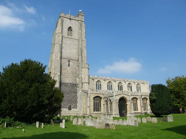
St Mary's Church, Mildenhall
Historic churches · 0.2 km
Mildenhall Museum
Museums · 0.2 km

Riverside House Hotel
Hotels · 0.4 km

Mildenhall Cemetery
Cemeteries · 0.4 km

Norah Hanbury-Kelk Nature Reserve
Forests & woodlands · 0.8 km
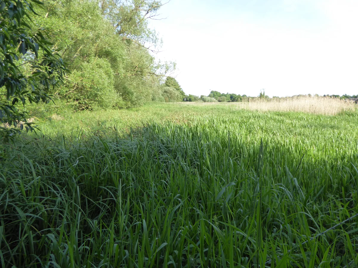
Norah Hanbury-Kelk Meadows
Wildlife reserves · 0.8 km

Mildenhall Cemetery
Cemeteries · 1.3 km

Worlington Hall
Hotels · 1.6 km

Woodlands Park
Campsites · 1.7 km
Nearby
📷 3Public art & sculpture · East of England
Mildenhall Village Sign
Mildenhall Village Sign — a public art in england-east, United Kingdom.
📷 3Memorials & monuments · East of England
Mildenhall War Memorial, Suffolk
Mildenhall War Memorial, Suffolk — Grade II listed building-listed memorial in england-east, United Kingdom.
📷 3Memorials & monuments · East of England
Mildenhall War Memorial
Mildenhall War Memorial is a memorial in the United Kingdom.
📷 3Historic churches · East of England
St Mary's Church, Mildenhall
St Mary's Church, Mildenhall — church in Mildenhall, Suffolk, England, UK.
📷 3Museums · East of England
Mildenhall Museum
Mildenhall Museum — a museum in england-east, United Kingdom.
📷 7Hotels · East of England
Riverside House Hotel
Riverside House Hotel — a hotel in england east.
Where to eat & stay near Mildenhall, Suffolk
Places to stay
📷 7Hotels · East of England
Riverside House Hotel
Riverside House Hotel — a hotel in england east.
📷 5📷 5 📷 7
📷 7 📷 5
📷 5 📷 5
📷 5Places to eat & drink
 📷 5
📷 5Historic pubs · East of England
The Golden Boar Public House
The Golden Boar Public House in England East, United Kingdom.
 📷 7
📷 7Historic pubs · East of England
Tharp Arms
Tharp Arms in England East, United Kingdom.
 📷 5
📷 5Historic pubs · East of England
The Cock Public House
The Cock Public House in England East, United Kingdom.
 📷 7
📷 7Historic pubs · East of England
The White Horse Public House Cottage And Coach House
The White Horse Public House Cottage And Coach House in England East, United Kingdom.
 📷 5
📷 5Historic pubs · East of England
The White Horse Public House
The White Horse Public House in England East, United Kingdom.
 📷 5
📷 5Historic pubs · East of England
Waggon And Horses Public House
Waggon And Horses Public House in England East, United Kingdom.
More museums in this region
 📷 5
📷 5Museums · East of England
American Air Museum
American Air Museum — museum at Imperial War Museum Duxford, Cambridgeshire, England, UK.
 📷 5
📷 5Museums · East of England
Ashwell Village Museum
Ashwell Village Museum — historic building museum in Ashwell, Hertfordshire, England, United Kingdom.
 📷 5
📷 5Museums · East of England
Barleylands Farm Museum
Barleylands Farm Museum — Farm museum in Billericay, England.
 📷 5
📷 5Museums · East of England
Cromwell Museum
Cromwell Museum — museum in Huntingdon, England, United Kingdom.
Frequently asked questions
- Where is Mildenhall, Suffolk?
- Mildenhall, Suffolk is in Suffolk, East of England, United Kingdom (postcode IP28 7JJ), in the parish of Mildenhall High.
- What is Mildenhall, Suffolk?
- Mildenhall is a market town in the civil parish of Mildenhall High, in the West Suffolk district, in the county of Suffolk, England. The town is near the A11, and is 37 mi (60 km) north-west of Ipswic
- How do I get to Mildenhall, Suffolk?
- The nearest railway station is Kennett, about 7.6 km away. Drivers can use postcode IP28 7JJ.
- Is Mildenhall, Suffolk a protected site?
- Yes — Mildenhall, Suffolk is part of the Breckland Farmland SSSI Site of Special Scientific Interest.
- How do I get to Mildenhall, Suffolk?
- The nearest railway station is Kennett, about 7.6 km away. Drivers can navigate to postcode IP28 7JJ.