Natural landmarks · Yorkshire & the Humber
Meugher
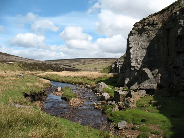
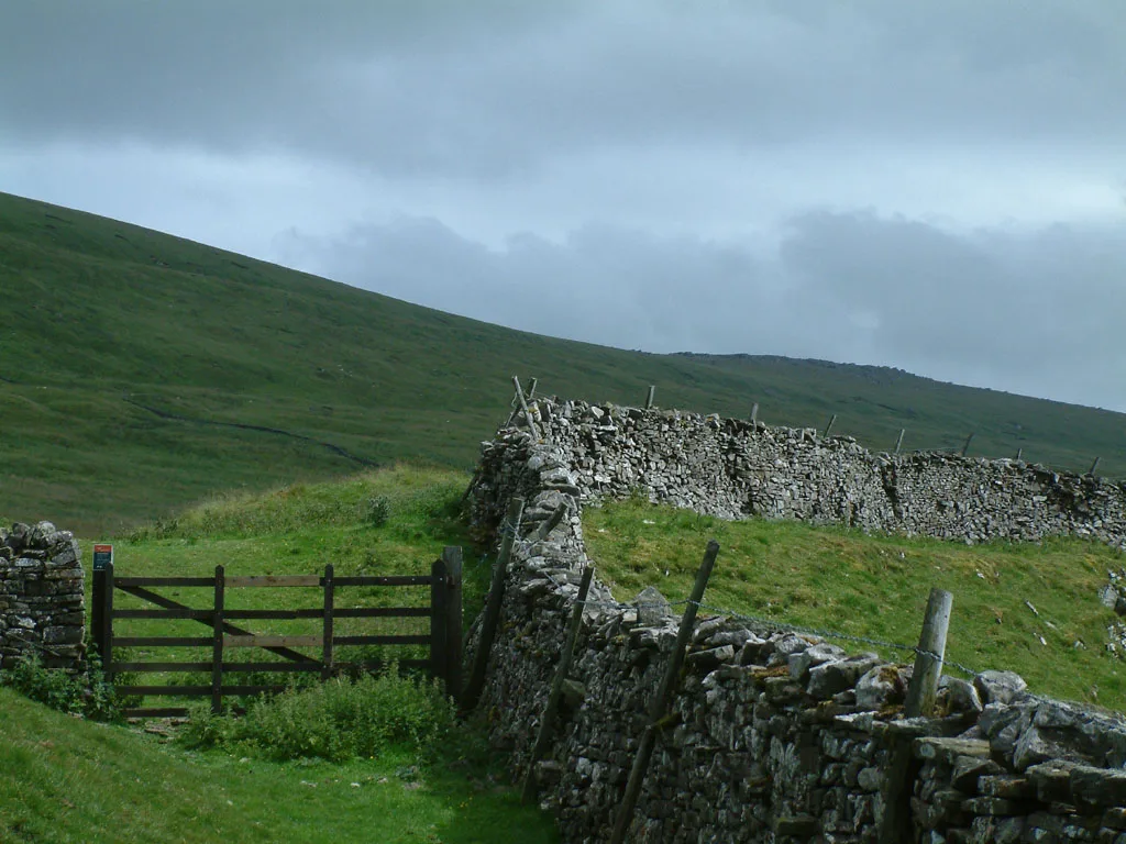
Meugher — mountain in United Kingdom.

Wikimedia Commons contributors — see linked file page for photographer and licence licence
Plan your visit
- Typical visit
- 1 h–2 h
- Free entry
- Dog-friendly
About
Meugher is a named natural landmark in the United Kingdom. Wikidata describes it as: "mountain in United Kingdom". Coordinates: 54.1296°, -1.9340°.
Photo gallery
Protected designations
- Site of Special Scientific Interest: West Nidderdale, Barden and Blubberhouses Moors SSSI
- Area of Outstanding Natural Beauty: Nidderdale
Designations sourced from Natural England open data under OGL v3.
From the Wikipedia article
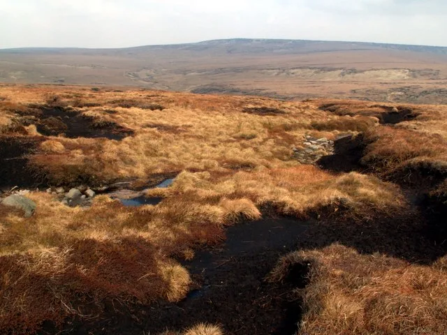
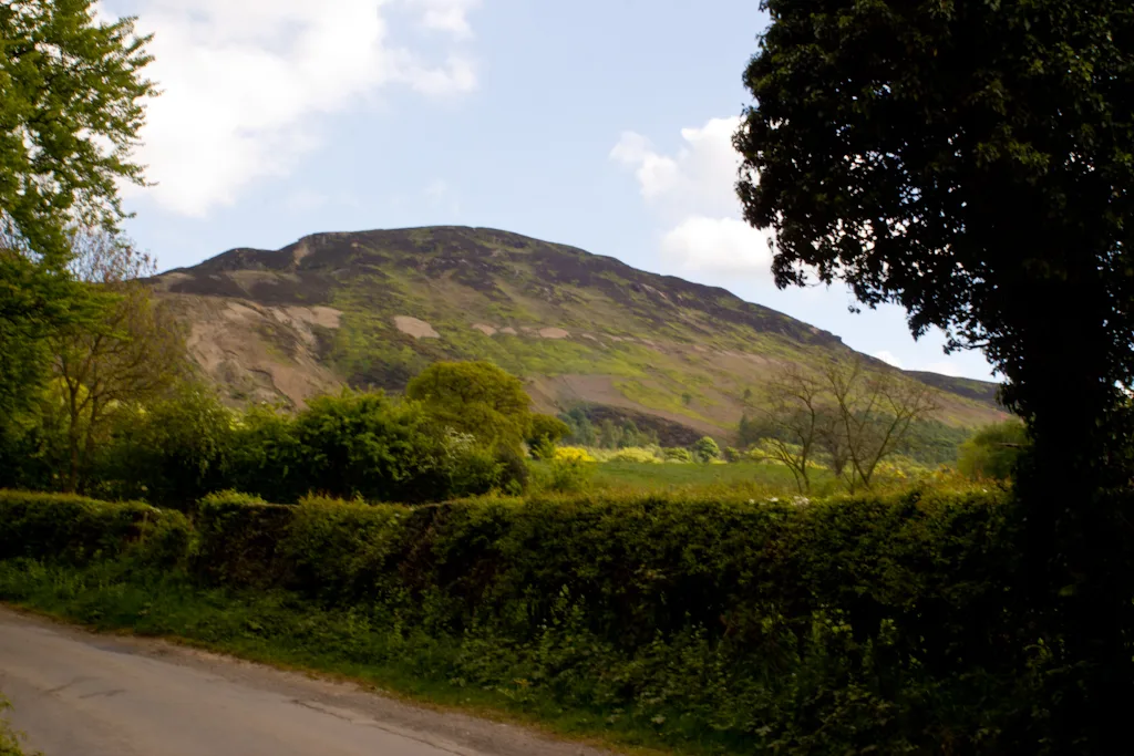
Meugher ( MOO-fər) is a hill in the Yorkshire Dales, England. It lies in remote country between Wharfedale and Nidderdale, in the parish of Stonebeck Down less than 1 kilometre (0.6 mi) outside the Yorkshire Dales National Park but within the Nidderdale Area of Outstanding Beauty. The hill has a conical peak topped by an Ordnance Survey triangulation pillar, and has been described as "perhaps the remotest and least inviting summit in the Yorkshire Dales". No public rights of way approach the summit, but since the Countryside and Rights of Way Act 2000 it has been on open access land. It can be accessed by a shooting track from near Lofthouse, which now approaches within 430 metres (470 yards) of the summit, or from a public footpath a mile north west of the summit, leading from Middlesmoor to Conistone. Meugher is within the Nidderdale drainage area, with Meugher Dyke draining the southern flank, Back Stean Gill draining the eastern flank, and Cross Gill draining the western and northern flanks. The name was first recorded as Magare in 1120, and probably derives from the Old Norse mjór haugr, meaning "small hill".
Excerpt from Wikipedia under CC BY-SA 4.0. See the source article linked in Sources below.
- Coordinates
- 54.1296, -1.9340
- Address
- Yorkshire Dales, England
Sources
- wikidata: Q6825597 (CC0)
- wikipedia: Meugher (CC BY-SA 4.0)
- commons: Meugher from West summit - geograph.org.uk - 856811.jpg (CC BY-SA 4.0)
Featured in this guide
Other places nearby
Loading nearby places…
Nearby
 📷 5
📷 5Caves · Yorkshire & the Humber
Black Edge Shake Hole
Black Edge Shake Hole — cave in england yorkshire.
 📷 3
📷 3Archaeological sites · Yorkshire & the Humber
Peru Lead Mine
Peru Lead Mine — a archaeological in england-yorkshire, United Kingdom.
📷 5Caves · Yorkshire & the Humber
Black Edge Pot Hole
Black Edge Pot Hole — cave in england yorkshire.
 📷 3
📷 3Mountains & hills · Yorkshire & the Humber
Mossdale Caverns
Mossdale Caverns — cave system in the Yorkshire Dales, England.
 📷 3
📷 3Caves · Yorkshire & the Humber
Mossdale Caverns
Mossdale Caverns is a cave in the United Kingdom.
 📷 5
📷 5Caves · Yorkshire & the Humber
Black Edge Pot Hole
Black Edge Pot Hole — cave in england yorkshire.
More natural landmarks in this region
 📷 3
📷 3Natural landmarks · Yorkshire & the Humber
Black Chew Head
Black Chew Head — Hill in the United Kingdom.
 📷 5
📷 5Natural landmarks · Yorkshire & the Humber
Carlton Bank
Carlton Bank — hill in the United Kingdom.
 📷 3
📷 3Natural landmarks · Yorkshire & the Humber
Great Whernside
Great Whernside — mountain in United Kingdom.
 📷 3
📷 3Natural landmarks · Yorkshire & the Humber
Highfields Lake
Highfields Lake — lake in the United Kingdom.
Frequently asked questions
- Where is Meugher?
- Meugher is in Yorkshire, United Kingdom.
- What is Meugher?
- Meugher — mountain in United Kingdom.
- How do I get to Meugher?
- Its coordinates are 54.1296°, -1.9340°.
- Is Meugher a protected site?
- Yes — Meugher is part of the West Nidderdale, Barden and Blubberhouses Moors SSSI Site of Special Scientific Interest and the Nidderdale National Landscape (AONB).
- Is Meugher free to visit?
- Yes, Meugher is free to enter.