
Stately homes · South East England
Merstone Manor
In or near Godshill.
Merstone Manor — Manor House in Merstone, Isle of Wight, England, UK.

Gareth James — CC BY-SA 2.0 via Wikimedia Commons licence

Plan your visit
- Typical visit
- 2 h–4 h
- Nearest railway station
- Havenstreet · 5.6 km
- Family-friendly
- Limited wheelchair access
Getting there & planning your visit
To visit Merstone Manor, the nearest railway station is Havenstreet, located 5.6 km away. The postcode for sat-nav is PO30 3BZ. Accessibility is limited for wheelchair users.
About
Merstone Manor is a stately home in the United Kingdom. Heritage designation: Grade II* listed building. Wikidata describes it as: "Manor House in Merstone, Isle of Wight, England, UK". Coordinates: 50.6663°, -1.2635°.
Photo gallery
Heritage listing
Merston Manor (previously: Merestone, frequently spelled Merston) is a manor house in Merstone on the Isle of Wight, England. The manor was first mentioned in the Domesday Book. Prior to the Norman Conquest, Merston Manor was owned by the Brictuin family. The present house, built in 1605 in the Jacobean style by Edward Cheeke, was completely rebuilt using mainly the original materials in 1894 the house having been unoccupied and was derelict by 1891. The interior was also remodelled. This structure may be the oldest brick house on the Island.
From the Historic England List Entry under OGL v3.
Protected designations
- Site of Special Scientific Interest: Compton Chine to Steephill Cove SSSI
- Area of Outstanding Natural Beauty: Isle Of Wight
Designations sourced from Natural England open data under OGL v3.
From the Wikipedia article
Merston Manor (previously: Merestone, frequently spelled Merston) is a manor house in Merstone on the Isle of Wight, England. The manor was first mentioned in the Domesday Book. Prior to the Norman Conquest, Merston Manor was owned by the Brictuin family. The present house, built in 1605 in the Jacobean style by Edward Cheeke, was completely rebuilt using mainly the original materials in 1894 the house having been unoccupied and was derelict by 1891. The interior was also remodelled. This structure may be the oldest brick house on the Island. The manor now belongs to the Crofts family.
Excerpt from Wikipedia under CC BY-SA 4.0. See the source article linked in Sources below.
Background
History
Domesday Book, in the entry referring to Merstone, tells us that in the time of Edward the Confessor, the manor was held by Brictuin, and that he held it allodially of King Edward. Brictuin was apparently a man in high position. The manor had probably comedown to him from his ancestors, and he owed suit and service to no superior, save only to his lord the King. The entry is as follows : " William Fitz-Stur holds Merestone and Hunfrid under him. Brictuin held it allodially of King Edward. Then and now it was assessed at half a hide. There is one carucate in demesne with one villein. Was and is worth ios." There is no mention of a church as Merstone lies within the parish of Arreton, and at…
Sourced from Wikipedia under CC BY-SA 4.0.
- Coordinates
- 50.6663, -1.2635
- District
- Isle of Wight
- Parish
- Arreton
- Postcode
- PO30 3BZ
- Parliamentary constituency
- Isle of Wight West
- Nearest railway station
- Havenstreet — 5.6 km
Sources
- wikidata: Q14949362 (CC0)
- wikipedia: Merstone Manor (CC BY-SA 4.0)
Other places nearby

Merstone
Villages · 0.3 km

Bury Lane Farm Caravan Park
Caravan parks · 1.0 km

St George's Down
Mountains & hills · 1.2 km

The Lakes Rookley
Caravan parks · 1.6 km
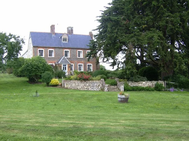
Great East Standen Manor
Stately homes · 1.7 km
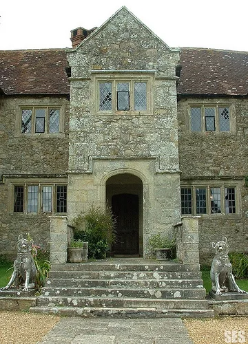
Arreton Manor
Stately homes · 1.8 km

Arreton Barns
Natural landmarks · 1.8 km

The Old Stable Shop Arreton Manor
Manor houses · 1.8 km

Arreton War Memorial
Memorials & monuments · 1.8 km

The Shipwreck Centre
Museums · 1.9 km

Rookley
Villages · 1.9 km

Isle of Wight Glass Museum
Museums · 1.9 km
Nearby
📷 5📷 5Caravan parks · South East England
Bury Lane Farm Caravan Park
Bury Lane Farm Caravan Park — a caravan park in england south east.
📷 5Mountains & hills · South East England
St George's Down
St George's Down — mountain in england south east. Elevation: 109 m.
📷 5Caravan parks · South East England
The Lakes Rookley
The Lakes Rookley — a caravan park in england south east.
📷 5Stately homes · South East England
Great East Standen Manor
Great East Standen Manor — manor house in Arreton, Isle of Wight, England, UK.
📷 5Stately homes · South East England
Arreton Manor
Arreton Manor — building in Isle of Wight, England, UK.
Where to eat & stay near Merstone Manor
Places to stay
📷 5Caravan parks · South East England
Bury Lane Farm Caravan Park
Bury Lane Farm Caravan Park — a caravan park in england south east.
📷 5Caravan parks · South East England
The Lakes Rookley
The Lakes Rookley — a caravan park in england south east.
 📷 7
📷 7B&Bs · South East England
The Chequers Inn
The Chequers Inn — a bed-and-breakfast in england south east.
 📷 4
📷 4Caravan parks · South East England
Southland
Southland — a caravan park in england south east.
 📷 5
📷 5Campsites · South East England
Windmill Campersite
Windmill Campersite — a campsite in england south east.
 📷 5
📷 5Places to eat & drink
 📷 7
📷 7 📷 7
📷 7Historic pubs · South East England
The Griffin Public House
The Griffin Public House in England South East, United Kingdom.
 📷 5
📷 5Historic pubs · South East England
The Cranbourne Arms Public House
The Cranbourne Arms Public House in England South East, United Kingdom.
📷 5 📷 7
📷 7Historic pubs · South East England
The Eight Bells
The Eight Bells in England South East, United Kingdom.
 📷 5
📷 5More places in this region
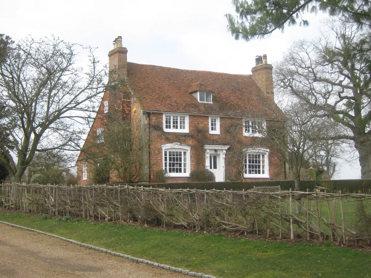 Flagship📷 5
Stately homes · South East England
Broxham Manor
Broxham Manor — manor house in Hever, Sevenoaks, Kent, England, UK.
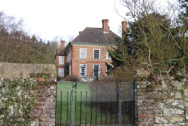 Flagship📷 5
Stately homes · South East England
Buston Manor
Buston Manor — manor house in Hunton, Kent, England, UK.
 📷 5
📷 5Stately homes · South East England
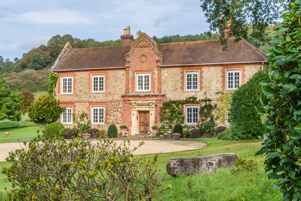
Chilworth Manor
Chilworth Manor — manor house in Chilworth, Surrey, England, UK.
 Flagship📷 5
Stately homes · South East England
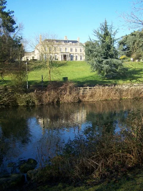
Douce's Manor
Douce's Manor — manor house in West Malling, Kent, England, UK.
Frequently asked questions
- Where is Merstone Manor?
- Merstone Manor is in South-East England, United Kingdom (postcode PO30 3BZ), in the parish of Arreton.
- What is Merstone Manor?
- Merstone Manor — Manor House in Merstone, Isle of Wight, England, UK.
- How do I get to Merstone Manor?
- The nearest railway station is Havenstreet, about 5.6 km away. Drivers can use postcode PO30 3BZ.
- Is Merstone Manor a listed building?
- Merstone Manor is officially recognised as Grade II* listed building listed.
- Is Merstone Manor a protected site?
- Yes — Merstone Manor is part of the Compton Chine to Steephill Cove SSSI Site of Special Scientific Interest and the Isle Of Wight National Landscape (AONB).
- How do I get to Merstone Manor?
- The nearest railway station is Havenstreet, about 5.6 km away. Drivers can navigate to postcode PO30 3BZ.