
Historic churches · Mid Wales
Meifod
In or near Llanfair Caereinion.
Meifod, formerly also written Meivod (), is a small village, community and electoral ward seven miles (11 km) north-west of Welshpool in Montgomeryshire, Powys, Wales, on the A495 road and located in

nick macneill — CC BY-SA 2.0 via Wikimedia Commons licence

Plan your visit
- Typical visit
- 30 min–1 h
- Nearest railway station
- Cyfronydd · 5.8 km
- Free entry
Getting there & planning your visit
Meifod is located in North Wales, with the postcode SY22 6BX. The nearest railway station is Cyfronydd, which is 5.8 km away. Entry to the church is free.
About
Meifod, formerly also written Meivod (), is a small village, community and electoral ward seven miles (11 km) north-west of Welshpool in Montgomeryshire, Powys, Wales, on the A495 road and located in the valley of the River Vyrnwy. The River Banwy has a confluence with the Vyrnwy approximately two miles (3.2 km) to the west of the village. The village itself had a population of 317. The community also includes the village of Bwlch-y-cibau.
Photo gallery
Heritage listing
http://cadwpublic-api.azurewebsites.net/reports/listedbuilding/FullReport?lang=en&id=17459
From Cadw under OGL v3.
From the Wikipedia article
Meifod, formerly also written Meivod (), is a small village, community and electoral ward seven miles (11 km) north-west of Welshpool in Montgomeryshire, Powys, Wales, on the A495 road and located in the valley of the River Vyrnwy. The River Banwy has a confluence with the Vyrnwy approximately two miles (3.2 km) to the west of the village. The village itself had a population of 317. The community also includes the village of Bwlch-y-cibau.
Excerpt from Wikipedia under CC BY-SA 4.0. See the source article linked in Sources below.
Background
History
Although the Roman town of Mediolanum of the Antonine Itinerary has since been identified as Whitchurch in Shropshire, Meifod is sometimes identified as the Mediolanum among the Ordovices described in Ptolemy's Geography, although others argue for Llanfyllin Meifod is about 2 miles north-east of the royal residence of the Princes of Wales at Mathrafal, and it was an early Christian centre known at Caer Meguaidd or Meguaid; It is associated with St Gwyddfarch in the 6th century and St Tysilio in the 7th. Tysilio's father was Brochwel Ysgithrog, a prince of Powys, who made Meifod his summer residence. The first Christian foundation was probably a clas and a monastery in the early medieval…
Architecture
The village has one pub, the King's Head and a convenience store (with a post office). In 2006, local rugby union team C.O.B.R.A built a new rugby clubhouse and two pitches. The village football team plays in the amateur division. The village also has a primary school, Ysgol Meifod (formerly Meifod County Primary (or CP) School) and a modern village hall located next door which provides facilities for a wide variety of clubs and societies. Bryngwyn Hall, to the north, is a late 18th century country house designed by Robert Mylne. It is a Grade II* listed building and its Victorian park is listed, also at Grade II*, on the Cadw/ICOMOS Register of Parks and Gardens of Special Historic…
Sourced from Wikipedia under CC BY-SA 4.0.
- Coordinates
- 52.7100, -3.2500
- District
- Powys
- Parish
- Meifod
- Postcode
- SY22 6BX
- Parliamentary constituency
- Montgomeryshire and Glyndwr
- Nearest railway station
- Cyfronydd — 5.8 km
Sources
- wikipedia: Meifod (CC BY-SA 4.0)
Other places nearby
St Tysilio and St Mary's Church
Historic churches · 0.1 km

Gwely Gwyddfarch
Vineyards · 1.0 km
Gallt-Yr-Ancr
Mountains & hills · 1.1 km

Camen Mound
Literary houses · 1.1 km

Gallt yr Ancr
Mountains & hills · 1.1 km

Broniarth Hill
Mountains & hills · 1.3 km
Broniarth Hill
Mountains & hills · 1.4 km

Soldiers Ring, Broniarth Hill
Vineyards · 1.5 km
Brynhyfryd
Mountains & hills · 1.6 km

Cefn Dreiniog
Mountains & hills · 1.9 km

Allt y Main
Mountains & hills · 2.0 km

Pant Mawr
Vineyards · 2.2 km
Nearby
📷 5Historic churches · Mid Wales
St Tysilio and St Mary's Church
St Tysilio and St Mary's Church — Grade I listed building-listed church in wales-north, United Kingdom.
📷 5Vineyards · Mid Wales
Gwely Gwyddfarch
Gwely Gwyddfarch — a UK vineyard in wales north, producing English or Welsh wine from cool-climate grape varieties.
📷 5Mountains & hills · Mid Wales
Gallt-Yr-Ancr
Gallt-Yr-Ancr — mountain in wales north. Elevation: 224 m.
📷 3📷 3Mountains & hills · Mid Wales
Gallt yr Ancr
Gallt yr Ancr — a mountain in wales-north, United Kingdom, 225 m.
📷 5Where to eat & stay near Meifod
Places to stay
 📷 5
📷 5 📷 3
📷 3Caravan parks · Mid Wales
Valley View Holiday Park
Valley View Holiday Park — a caravan park in wales north.
 📷 5
📷 5Caravan parks · Mid Wales
Fir View Tan Y Ffridd Holiday Park
Fir View Tan Y Ffridd Holiday Park — a caravan park in wales mid.
 📷 5📷 5
 📷 5
📷 5Caravan parks · Mid Wales
Pen-Y-Pentre Caravan Park
Pen-Y-Pentre Caravan Park — a caravan park in wales mid.
Places to eat & drink
 📷 7
📷 7 📷 4
📷 4Historic pubs · Mid Wales
The Checkers
The Checkers in Wales Mid, United Kingdom.
 📷 7
📷 7 📷 5
📷 5Historic pubs · North Wales
Butcher's Arms Public House
Butcher's Arms Public House in Wales North, United Kingdom.
More places in this region
 📷 3
📷 3Historic churches · Mid Wales
Church of St Peter
Church of St Peter — Grade I listed church, Shropshire, England, UK.
 📷 4
📷 4Historic churches · Mid Wales
Our Lady of Seven Sorrows Church
Our Lady of Seven Sorrows Church — church in Dolgellau, Wales.
 📷 4
📷 4Historic churches · Mid Wales
St David's Church
St David's Church — church in Barmouth, Gwynedd, Wales.
 📷 5
📷 5Historic churches · Mid Wales
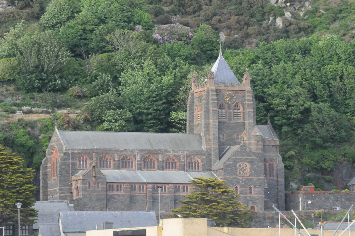
St John's Church
St John's Church — church in Barmouth, north Wales.
Frequently asked questions
- Where is Meifod?
- Meifod is in North Wales, United Kingdom (postcode SY22 6BX), in the parish of Meifod.
- What is Meifod?
- Meifod, formerly also written Meivod (), is a small village, community and electoral ward seven miles (11 km) north-west of Welshpool in Montgomeryshire, Powys, Wales, on the A495 road and located in
- How do I get to Meifod?
- The nearest railway station is Cyfronydd, about 5.8 km away. Drivers can use postcode SY22 6BX.
- Is Meifod a listed building?
- Meifod is officially recognised as II listed.
- Is Meifod free to visit?
- Yes, Meifod is free to enter.
- How do I get to Meifod?
- The nearest railway station is Cyfronydd, about 5.8 km away. Drivers can navigate to postcode SY22 6BX.