Reservoirs & lochs · Scottish Lowlands
Megget Reservoir
Megget Reservoir — reservoir in Scottish Borders, Scotland, UK, outflows to the Megget River.

Wikimedia Commons contributors — see linked file page for photographer and licence licence
Plan your visit
- Typical visit
- 1 h–2.5 h
- Dog-friendly
About
Megget Reservoir is a reservoir in the United Kingdom. Wikidata describes it as: "reservoir in Scottish Borders, Scotland, UK, outflows to the Megget River". Coordinates: 55.4861°, -3.2792°.
Photo gallery
From the Wikipedia article
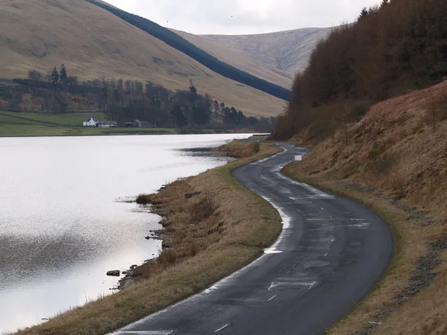
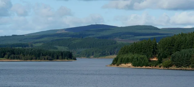
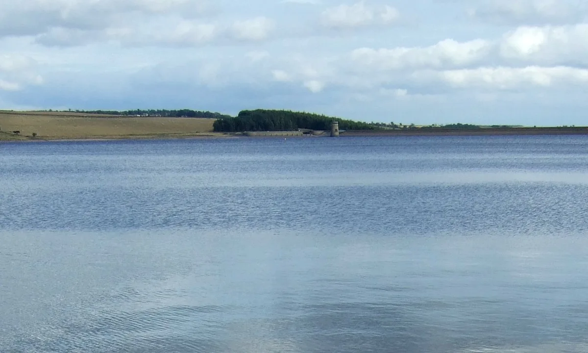
Megget Reservoir is an impounding reservoir in the Megget valley in Ettrick Forest, in the Scottish Borders. The 259 hectares (640 acres) reservoir is held back by the largest earth dam in Scotland. The reservoir collects water from the Tweedsmuir Hills, which is then conveyed 28 miles (45 km) via underground pipelines and tunnels to Edinburgh. The pipelines are routed through the Manor Valley and the Meldon Hills, to Gladhouse Reservoir and Glencorse Reservoir in the Pentland Hills. These two reservoirs store the water until such times as it is required. Excess water which overflows from the reservoir is returned to the Megget Water, and hence into St. Mary's Loch.
Excerpt from Wikipedia under CC BY-SA 4.0. See the source article linked in Sources below.
Background
History
The Megget Reservoir Scheme was first seriously considered in 1963. In 1974, the then water authority Lothian Regional Council applied for and received authority from the Secretary of State to proceed. Design was carried out by chartered civil engineers Robert H Cuthbertson & Partners on behalf of the water authority, and construction started in 1976. The dam which holds the reservoir is concrete with an asphalt impermeable core. The reservoir was officially opened on 30 September 1983. It has a capacity of 61400000 m3, and a maximum water level of 334 m above Ordnance Datum. The embankment is 56 m high and its crest is 568 m long. In 1983, Lothian Regional Council commissioned a short film…
Sourced from Wikipedia under CC BY-SA 4.0.
- Coordinates
- 55.4861, -3.2792
- District
- Scottish Borders
- Postcode
- TD7 5LQ
- Parliamentary constituency
- Berwickshire, Roxburgh and Selkirk
Sources
- wikidata: Q6808981 (CC0)
- wikipedia: Megget Reservoir (CC BY-SA 4.0)
- commons: Megget Reservoir - geograph.org.uk - 13312.jpg (CC BY-SA 4.0)
Other places nearby
Loading nearby places…
Nearby
 📷 3
📷 3Memorials & monuments · Scottish Lowlands
Ettrick Shepherd Monument
Ettrick Shepherd Monument — a memorial in scotland-lowlands, United Kingdom.
 📷 3
📷 3Natural landmarks · Scottish Lowlands
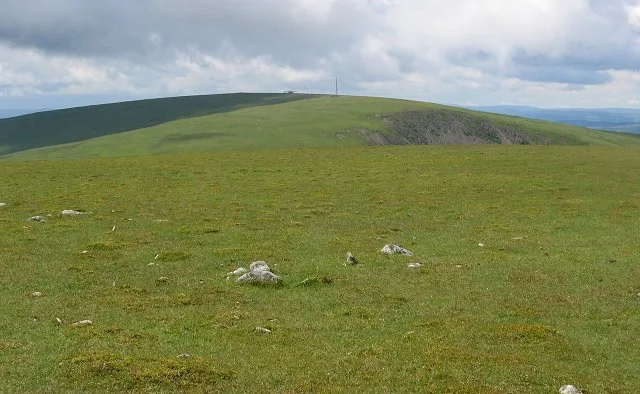
Broad Law
Broad Law — 840m high mountain in Scottish Borders, Scotland, UK.
 📷 3
📷 3Memorials & monuments · Scottish Lowlands
Scott Campbell Memorial
Scott Campbell Memorial — a memorial in scotland-lowlands, United Kingdom.
 📷 3
📷 3Mountains & hills · Scottish Lowlands
Broad Law
Broad Law — Named summit at 840 m.
 📷 5
📷 5Historic bridges · Scottish Lowlands
Bridge, Tibbie Shiels Inn, Loch O' Lowes
Bridge, Tibbie Shiels Inn, Loch O' Lowes — category C listed building-listed bridge in scotland-lowlands, United Kingdom.
 📷 3
📷 3Natural landmarks · Scottish Lowlands
Loch of the Lowes
Loch of the Lowes — lake in Scottish Borders, Scotland, UK, outflows to St Mary's Loch.
More places in this region
 📷 3
📷 3Reservoirs & lochs · Scottish Lowlands
Kielder Water
Kielder Water — reservoir in Northumberland, England, UK, on the River North Tyne.
 📷 3
📷 3Reservoirs & lochs · Scottish Lowlands
Q1200405
Q1200405 — reservoir on the border between County Durham and Northumberland, in England.
 📷 3
📷 3Reservoirs & lochs · Scottish Lowlands
Alemoor Reservoir
Alemoor Reservoir — reservoir lake in Scottish Borders, Scotland, UK, on Ale Water.
 📷 3
📷 3Reservoirs & lochs · Scottish Lowlands
Aucha Lochy
Aucha Lochy — reservoir on Kintyre, Argyll and Bute, Scotland, UK, outflows south to Auchalochy Burn.
Frequently asked questions
- Where is Megget Reservoir?
- Megget Reservoir is in Scottish Lowlands, in the United Kingdom — coordinates 55.4861°, -3.2792°.