
Farms (open to visitors) · South West England
Medieval holy well known as St Ann's Well, 120m south of Holwell Farm
In or near Kingston.
Medieval holy well known as St Ann's Well, 120m south of Holwell Farm — a Grade II*-listed farm in england-south-west, United Kingdom.

PAUL FARMER — CC BY-SA 2.0 via Wikimedia Commons licence

Plan your visit
- Typical visit
- 2 h–4 h
- Nearest railway station
- Kingsbridge Ria End · 7.9 km
- Family-friendly
About
Medieval holy well known as St Ann's Well, 120m south of Holwell Farm is a Grade II*-listed building in england-south-west, United Kingdom. Grade II* status is conferred by Historic England (or Cadw, Historic Environment Scotland or NIEA equivalents) on buildings of exceptional national interest. See the linked Wikipedia article for full historical and architectural details.
Photo gallery
Protected designations
- Area of Outstanding Natural Beauty: South Devon
Designations sourced from Natural England open data under OGL v3.
Place summary
St Ann's Well is a medieval holy well located 120 metres south of Holwell Farm in Bigbury, Devon, South-West England. It is designated as a Grade II* listed structure, highlighting its historical significance.
AI-generated from the structured facts on this page (operator, designation, listing, era). Not a substitute for visiting.
- Coordinates
- 50.3111, -3.8765
- County
- Devon
- District
- South Hams
- Parish
- Bigbury
- Postcode
- TQ7 4HG
- Parliamentary constituency
- South Devon
- Nearest railway station
- Kingsbridge Ria End — 7.9 km
Sources
- wikidata: Q17674164 (CC0)
Other places nearby

The Old Chapel Inn
Historic pubs · 0.2 km

Bigbury War Memorial Cross
Memorials & monuments · 0.8 km
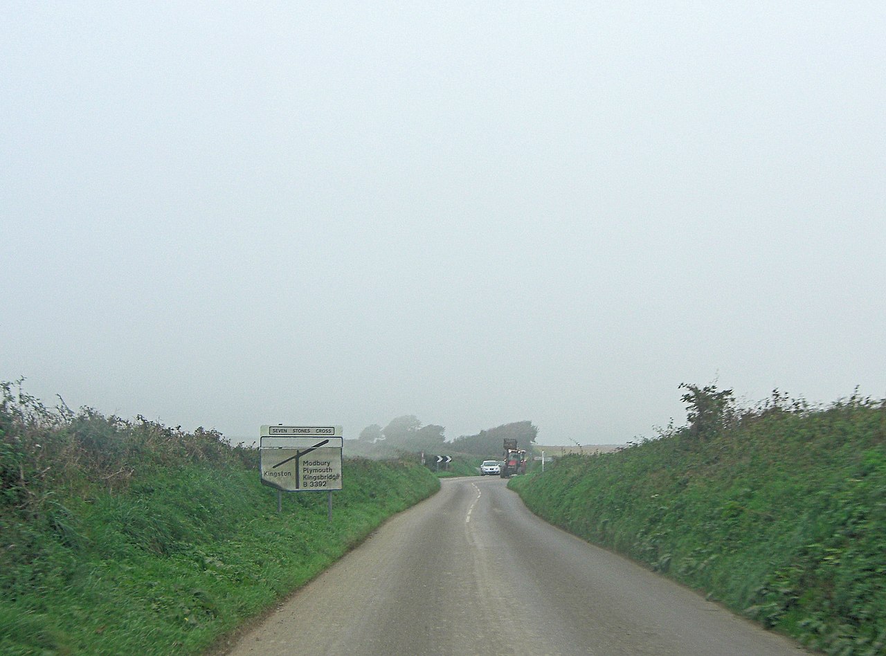
Seven Stones Hill
Mountains & hills · 1.6 km

Cross Manor
Manor houses · 2.0 km

Middle Manor
Manor houses · 2.1 km
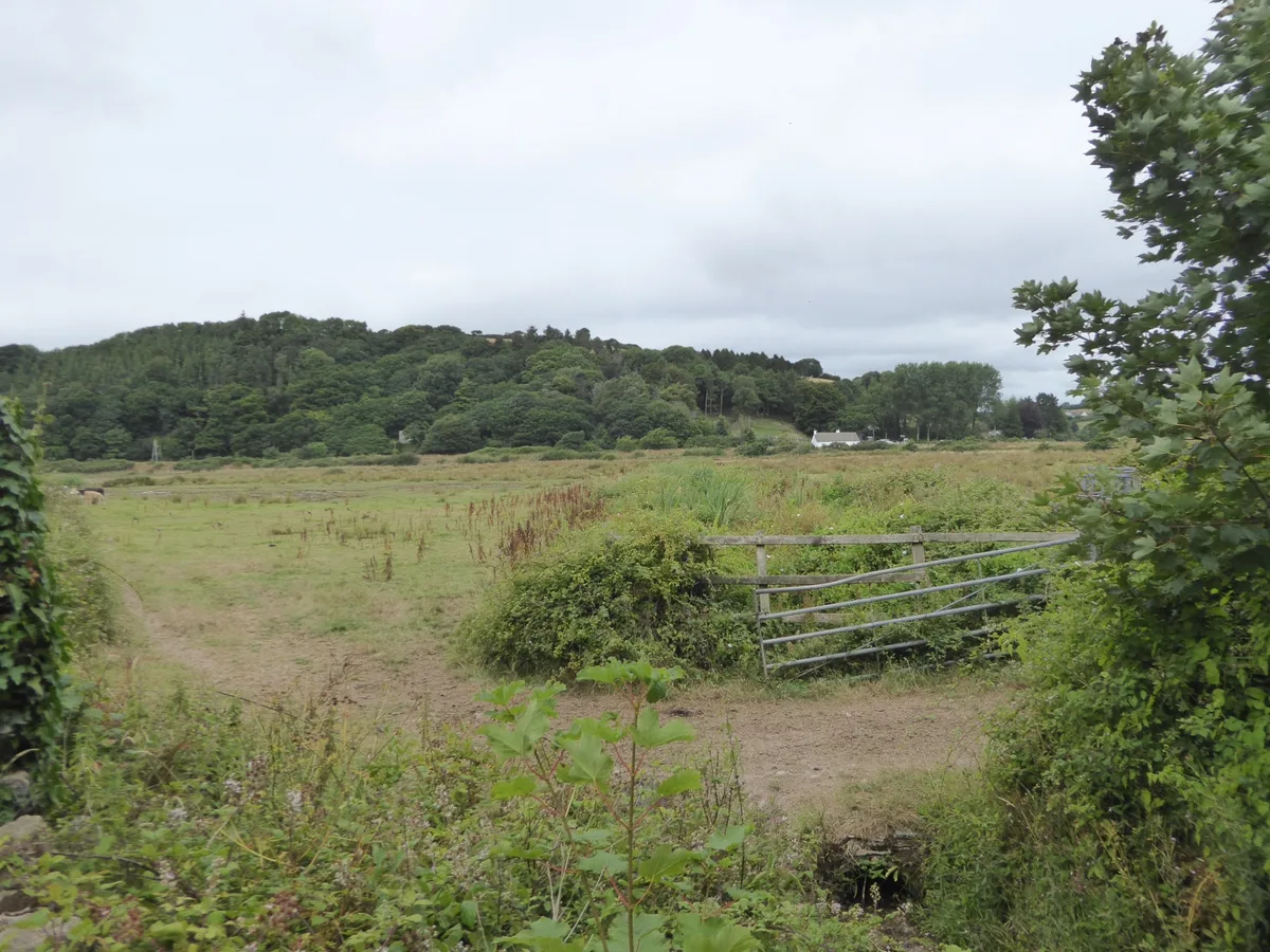
South Efford Marsh
Wildlife reserves · 2.3 km
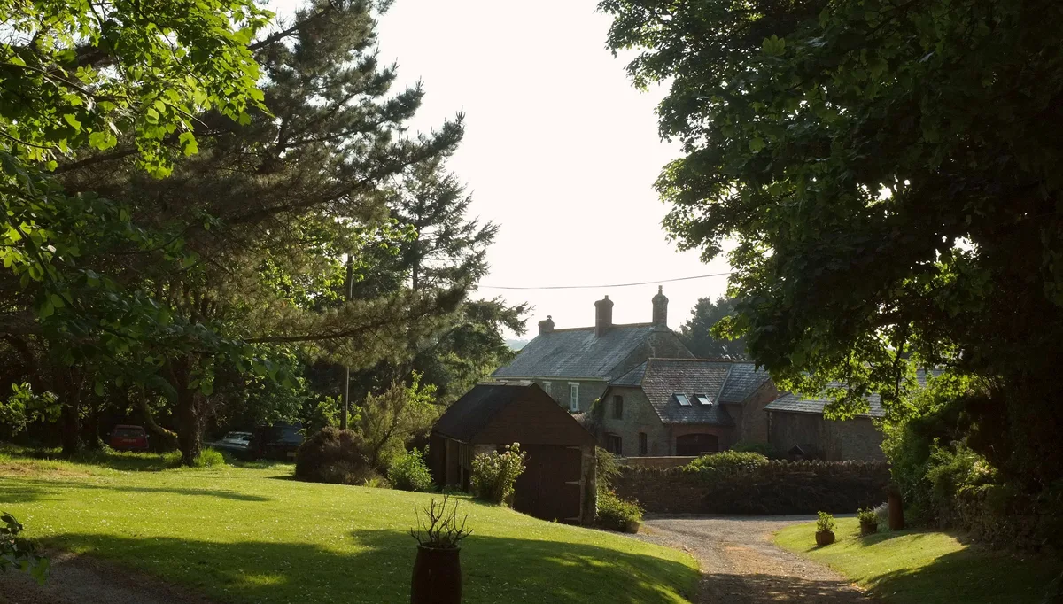
Stadbury Manor
Stately homes · 2.5 km

Bigbury Bay Holiday Park
Caravan parks · 2.5 km

Challaborough Bay Holiday Park
Caravan parks · 2.6 km

Mount Folly Farm
Campsites · 2.7 km

Aveton Gifford Bridges And Causeway
Historic bridges · 2.8 km

Kingston
Towns & cities · 2.9 km
Nearby
📷 7Historic pubs · South West England
The Old Chapel Inn
The Old Chapel Inn in England South West, United Kingdom.
📷 3Memorials & monuments · South West England
Bigbury War Memorial Cross
Bigbury War Memorial Cross — Grade II listed building-listed memorial in england-south-west, United Kingdom.
📷 5Mountains & hills · South West England
Seven Stones Hill
Seven Stones Hill — a hill or mountain in england south west.
📷 3Manor houses · South West England
Cross Manor
Cross Manor — Grade II listed building-listed manor in england-south-west, United Kingdom.
📷 3Manor houses · South West England
Middle Manor
Middle Manor — Grade II listed building-listed manor in england-south-west, United Kingdom.
📷 3Wildlife reserves · South West England
South Efford Marsh
South Efford Marsh — nature reserve in Devon, UK.
Where to eat & stay near Medieval holy well known as St Ann's Well, 120m south of Holwell Farm
Places to stay
📷 5Caravan parks · South West England
Bigbury Bay Holiday Park
Bigbury Bay Holiday Park — a caravan park in england south west.
📷 5Caravan parks · South West England
Challaborough Bay Holiday Park
Challaborough Bay Holiday Park — a caravan park in england south west. Brand: Parkdean Resorts.
📷 5 📷 5
📷 5Campsites · South West England
Higher Aunemouth Camping
Higher Aunemouth Camping — a campsite in england south west.
 📷 2
📷 2Caravan parks · South West England
North Upton Caravan and Camp Site
North Upton Caravan and Camp Site — a caravan park in england south west.
 📷 5
📷 5Caravan parks · South West England
Beechcroft Ceritified Site
Beechcroft Ceritified Site — a caravan park in england south west.
Places to eat & drink
📷 7Historic pubs · South West England
The Old Chapel Inn
The Old Chapel Inn in England South West, United Kingdom.
 📷 6
📷 6 📷 7
📷 7Historic pubs · South West England
White Hart Hotel And The Assembly Rooms
White Hart Hotel And The Assembly Rooms in England South West, United Kingdom.
 📷 7
📷 7Historic pubs · South West England
King Of Prussia Inn
King Of Prussia Inn in England South West, United Kingdom.
 📷 7
📷 7 📷 5
📷 5More places in this region
 📷 5
📷 5Farms (open to visitors) · South West England
Bath City Farm
Bath City Farm — a other in england-south-east, United Kingdom.
 📷 5
📷 5Farms (open to visitors) · South West England
HoneyBrook Farm
HoneyBrook Farm — a other in england-south-east, United Kingdom.
 📷 5
📷 5Farms (open to visitors) · South West England
Down Farm
Down Farm — a other in england-south-east, United Kingdom.
 📷 5
📷 5Farms (open to visitors) · South West England
Putlake Adventure Farm
Putlake Adventure Farm — a other in england-south-east, United Kingdom.
Frequently asked questions
- Where is Medieval holy well known as St Ann's Well, 120m south of Holwell Farm?
- Medieval holy well known as St Ann's Well, 120m south of Holwell Farm is in Devon, South-West England, United Kingdom (postcode TQ7 4HG), in the parish of Bigbury.
- What is Medieval holy well known as St Ann's Well, 120m south of Holwell Farm?
- Medieval holy well known as St Ann's Well, 120m south of Holwell Farm — a Grade II*-listed farm in england-south-west, United Kingdom.
- How do I get to Medieval holy well known as St Ann's Well, 120m south of Holwell Farm?
- The nearest railway station is Kingsbridge Ria End, about 7.9 km away. Drivers can use postcode TQ7 4HG.
- Is Medieval holy well known as St Ann's Well, 120m south of Holwell Farm a listed building?
- Medieval holy well known as St Ann's Well, 120m south of Holwell Farm is officially recognised as Grade II* listed.
- Is Medieval holy well known as St Ann's Well, 120m south of Holwell Farm a protected site?
- Yes — Medieval holy well known as St Ann's Well, 120m south of Holwell Farm is part of the South Devon National Landscape (AONB).
- How do I get to Medieval holy well known as St Ann's Well, 120m south of Holwell Farm?
- The nearest railway station is Kingsbridge Ria End, about 7.9 km away. Drivers can navigate to postcode TQ7 4HG.