Mountains & hills · Scottish Highlands
Meall nan Ruadhag
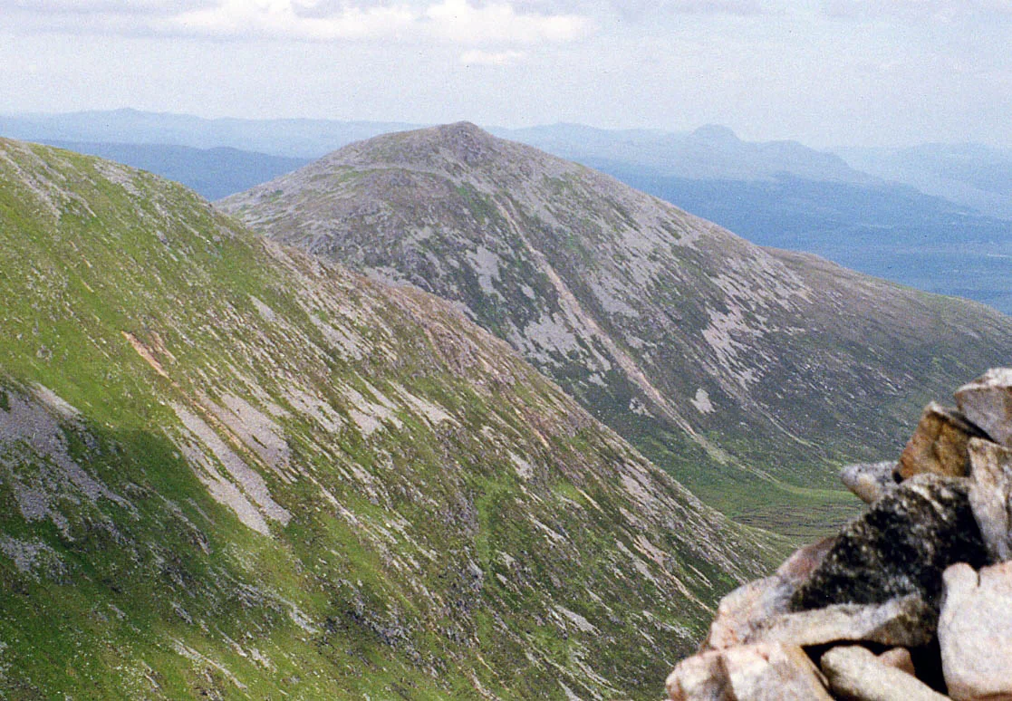
Meall nan Ruadhag — a hill or mountain in scotland highlands.

ian shiell — CC BY-SA 2.0 via Wikimedia Commons licence
Plan your visit
- Typical visit
- 3 h–8 h
- Best time of year
- Late spring – early autumn (May–Oct)
About
A British hill or mountain, named on Ordnance Survey maps and walked by hill-baggers. Meall nan Ruadhag is a named hill or mountain in scotland highlands, recorded in the GeoNames UK gazetteer. British landmarks of this type are typically marked on Ordnance Survey maps and recorded in the national gazetteer for cartographic and navigational reference. Coordinates and feature classification are sourced from the GeoNames open dataset.
Photo gallery
Place summary
Meall nan Ruadhag is a mountain located in the Scottish Highlands. It is known for its rugged terrain and scenic views typical of the region. The mountain offers various walking trails for those looking to explore the natural landscape. Visitors can expect a remote environment, with opportunities for wildlife observation and photography.
AI-generated from the structured facts on this page (operator, designation, listing, era). Not a substitute for visiting.
- Coordinates
- 57.0489, -4.8701
Sources
- manual: geonames-12608940 (CC BY 4.0)
Other places nearby
Loading nearby places…
Nearby
 📷 5
📷 5Mountains & hills · Scottish Highlands
Beinn Bhreac
Beinn Bhreac — a hill or mountain in scotland highlands.
 📷 3
📷 3Natural landmarks · Scottish Highlands
Kilfinnan Fall
Kilfinnan Fall in Scotland Islands, United Kingdom.
 📷 3
📷 3Natural landmarks · Scottish Highlands
Ben Tee
Ben Tee — mountain in Highland, Scotland, UK.
 📷 3
📷 3Mountains & hills · Scottish Highlands
Ben Tee
Ben Tee — Named summit at 904 m.
 📷 3
📷 3Archaeological sites · Scottish Highlands
Eilean Nan Mhuilchean, Crannog
Eilean Nan Mhuilchean, Crannog — a archaeological in scotland-highlands, United Kingdom.
 📷 3
📷 3Mountains & hills · Scottish Highlands
Meall nan Dearcag
Meall nan Dearcag — a mountain in scotland-highlands, United Kingdom.
Where to eat & stay near Meall nan Ruadhag
Places to stay
 📷 5
📷 5Campsites · Scottish Highlands
Faichemard Farm Caravan & Camping
Faichemard Farm Caravan & Camping — a campsite in scotland highlands.
 📷 5
📷 5Campsites · Scottish Highlands
Laggan Locks informal campsite
Laggan Locks informal campsite — a campsite in scotland highlands.
 📷 5
📷 5Hostels · Scottish Highlands
Great Glen Hostel
Great Glen Hostel — a hostel in scotland highlands.
 📷 5
📷 5Hostels · Scottish Highlands
Saddle Mountain Hostel
Saddle Mountain Hostel — a hostel in scotland highlands.
 📷 5
📷 5Hotels · Scottish Highlands
Invergarry Hotel
Invergarry Hotel — a hotel in scotland highlands.
 📷 5
📷 5Campsites · Scottish Highlands
Glas-dhoire Trailblazer Rest
Glas-dhoire Trailblazer Rest — a campsite in scotland highlands.
More mountains in this region
 📷 3
📷 3Mountains & hills · Scottish Highlands
A' Bhuidheanach Bheag
A' Bhuidheanach Bheag — Named summit at 936 m.
 📷 3
📷 3Mountains & hills · Scottish Highlands
A' Chailleach
A' Chailleach — Named summit at 997 m.
 📷 3
📷 3Mountains & hills · Scottish Highlands
A' Chailleach
A' Chailleach — Named summit at 930 m.
 📷 3
📷 3Mountains & hills · Scottish Highlands
A' Chaoirnich
A' Chaoirnich — Named summit at 875 m.
Frequently asked questions
- Where is Meall nan Ruadhag?
- Meall nan Ruadhag is in the Scottish Highlands, United Kingdom.
- What is Meall nan Ruadhag?
- Meall nan Ruadhag — a hill or mountain in scotland highlands.
- How do I get to Meall nan Ruadhag?
- Its coordinates are 57.0489°, -4.8701°.