
Historic bridges · East Midlands
Matlock Road Bridge (Spc8 35)
In or near Horsley.
Matlock Road Bridge (Spc8 35) — Grade II listed building-listed bridge in england-east-midlands, United Kingdom.

Alan Murray-Rust — CC BY-SA 2.0 via Wikimedia Commons licence

Plan your visit
- Typical visit
- 15 min–30 min
- Nearest railway station
- Belper · 0.7 km
- Paid entry
- Dog-friendly
Getting there & planning your visit
To visit Matlock Road Bridge, the nearest railway station is Belper, located 0.7 km away. The postcode for navigation is DE56 2JD, and entry to the bridge is free.
About
Matlock Road Bridge (Spc8 35) is a Grade II listed building-listed bridge in england-east-midlands, United Kingdom, registered on the National Heritage List for England (NHLE entry 1417623). Listed status protects buildings and structures of special architectural or historic interest. See the linked Wikipedia article for further details.
Photo gallery
See it from the streetimagery from 2021
Imagery © Mapillary contributors, CC BY-SA 4.0
Heritage listing
Details A single-span skew overbridge built in 1836-40 for the North Midland Railway to the designs of George and Robert Stephenson with Frederick Swanwick. MATERIALS: coursed quarry-faced Derbyshire Gritstone with tooled ashlar dressings. The soffit of the arch is skew-set red brick. EXTERIOR: the north face is almost identical to the south face. It has a single segmental arch that conforms to the standard dimensions of the Stephensons’ North Midland overbridges with a height of 16 feet from the rails and a span of 30 feet. The arch has v-channelled rusticated ashlar voussoirs that return on the soffit as quoins. The soffit is of skew-set red brick rising from an impost band with diagonally set stone springers supported by courses of quarry-faced stone on a chamfered plinth. The arch is flanked by broad projecting piers which have a concave rake and v-channelled rusticated quoins. The abutments are angled out to meet the piers, under an extension of the impost band, shaped as a pitched cap stone to shed water. On either side of the piers, the wing walls are faced with coursed quarry-faced stone. They have a concave rake and curve to follow the alignment of the approach roads before terminating in sizeable semi-octagonal piers. The west wing walls are more substantial because the approach road is built up on this side. The bridge has a bold ashlar roll moulding and a parapet of two tall courses, the lower of tooled ashlar with margins and a chamfered top edge, and the higher of stone with a punched finish and dressed margins. The square-moulded coping is tooled and has a slight fall to the outside edge. The inside faces of the parapets have one and a half courses of picked stone.
From the Historic England List Entry under OGL v3.
Official information
Strutt's North Mill is part of the Derwent Valley Mills World Heritage Site, offering guided tours that explore the history of the mills. Visitors can enjoy family-friendly tours and participate in craft activities during school holidays.
Place summary
Matlock Road Bridge is a Grade II listed bridge located in the East Midlands. It is recognised for its architectural significance and historical value within the region.
AI-generated from the structured facts on this page (operator, designation, listing, era). Not a substitute for visiting.
- Coordinates
- 53.0308, -1.4831
- County
- Derbyshire
- District
- Amber Valley
- Parish
- Belper
- Postcode
- DE56 2JD
- Parliamentary constituency
- Mid Derbyshire
- Phone
- 01773 880474
- Nearest railway station
- Belper — 0.7 km
- Opening
- Wednesdays and Saturdays from March to October
- Official site
- www.belpernorthmill.org.uk
Sources
- wikidata: Q26676595 (CC0)
Other places nearby
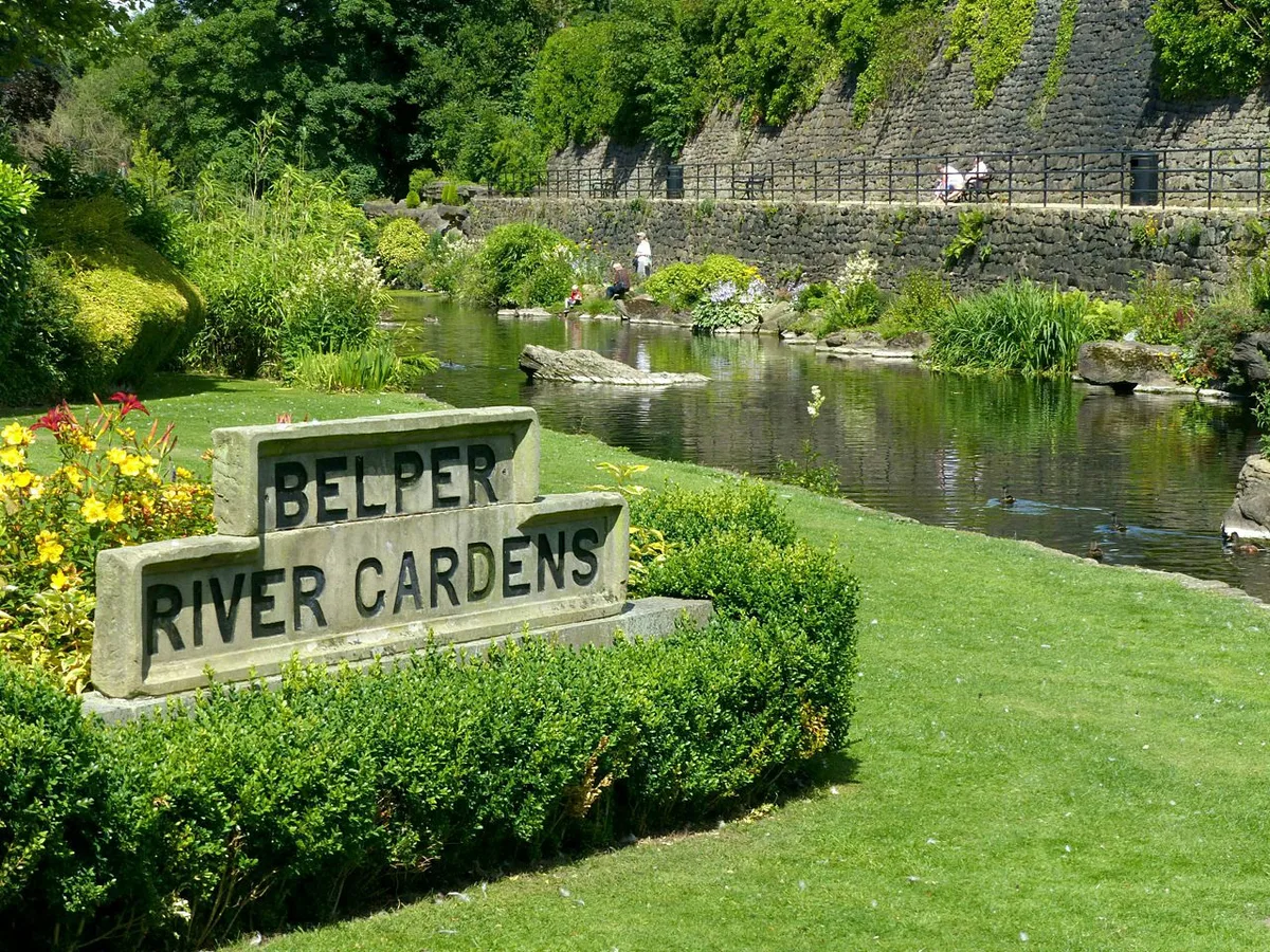
Belper River Gardens
Country parks · 0.1 km
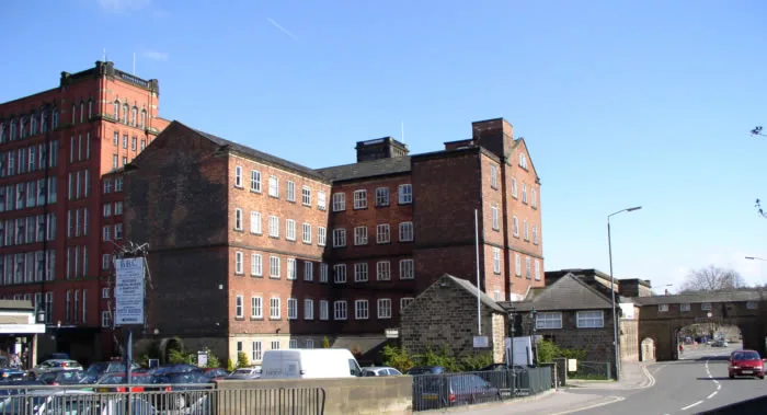
Strutt's North Mill
Museums · 0.4 km

Unitarian Chapel And Chapel Cottage
Chapels · 0.5 km

Belper
Museums · 0.6 km

Lion Hotel
Hotels · 0.7 km

Unity Mill
Mills · 0.8 km

King Street Bridge (Spc8 28)
Historic bridges · 0.8 km

Duffield Art Gallery
Galleries · 0.9 km

The Ritz
Cinemas · 0.9 km

Sacrifice
Memorials & monuments · 0.9 km

New Road Bridge (Spc8 27)
Historic bridges · 1.0 km

Flying Geese
Public art & sculpture · 1.1 km
Nearby
📷 3Country parks · East Midlands
Belper River Gardens
Belper River Gardens — park in Belper, Derbyshire, England.
★ Iconic📷 3Museums · East Midlands
Strutt's North Mill
Strutt's North Mill — cotton mill and museum in Belper, Derbyshire, England, United Kingdom.
📷 3Chapels · East Midlands
Unitarian Chapel And Chapel Cottage
Unitarian Chapel And Chapel Cottage — chapel in Belper, Amber Valley, England, UK.
📷 5Museums · East Midlands
Belper
Belper () is a town and civil parish in the Amber Valley district of Derbyshire, England, located about 7 miles (11 km) north of Derby on the River Derwent. Along with Belper, the parish includes the
📷 7Hotels · East Midlands
Lion Hotel
Lion Hotel — a hotel in england east midlands.
📷 3Mills · East Midlands
Unity Mill
Unity Mill — mill in Belper, Amber Valley, Derbyshire, England, UK.
Where to eat & stay near Matlock Road Bridge (Spc8 35)
Places to stay
📷 7Hotels · East Midlands
Lion Hotel
Lion Hotel — a hotel in england east midlands.
 📷 5
📷 5Campsites · East Midlands
Broadholme Lane Caravan Park
Broadholme Lane Caravan Park — a campsite in england east midlands.
 📷 5
📷 5Caravan parks · East Midlands
The Firs Caravan and Motorhome Site
The Firs Caravan and Motorhome Site — a caravan park in england east midlands.
 📷 5
📷 5Hotels · East Midlands
Makeney Hall Hotel
Makeney Hall Hotel — a hotel in england east midlands.
 📷 5
📷 5Hostels · East Midlands
Shining Cliff Hostel
Shining Cliff Hostel — a hostel in england east midlands.
 📷 5
📷 5Campsites · East Midlands
Tannebaum campsite
Tannebaum campsite — a campsite in england east midlands.
Places to eat & drink
 📷 5
📷 5Historic pubs · East Midlands
White Hart Public House
White Hart Public House in England East Midlands, United Kingdom.
 📷 7
📷 7Historic pubs · East Midlands
The William IV Public House
The William IV Public House in England East Midlands, United Kingdom.
 📷 7
📷 7Historic pubs · East Midlands
The Excavator Public House
The Excavator Public House in England East Midlands, United Kingdom.
 📷 7
📷 7Historic pubs · East Midlands
Puss In Boots Public House
Puss In Boots Public House in England East Midlands, United Kingdom.
 📷 5
📷 5Historic pubs · East Midlands
The Black Swan Public House And Attached L Shaped Range Of Outbuildings To The North-East
The Black Swan Public House And Attached L Shaped Range Of Outbuildings To The North-East in England East Midlands, United Kingdom.
 📷 5
📷 5Historic pubs · East Midlands
Range Of 3 Cottages Formerly The Wheatsheaf Public House
Range Of 3 Cottages Formerly The Wheatsheaf Public House in England East Midlands, United Kingdom.
More bridges in this region
 📷 5
📷 5Historic bridges · East Midlands
Mill Race Bridge To Market Deeping Mill
Mill Race Bridge To Market Deeping Mill — Grade II listed building-listed bridge in england-london, United Kingdom.
 📷 5
📷 5Historic bridges · East Midlands
Bridge Over West Glen River
Bridge Over West Glen River — Grade II listed building-listed bridge in england-london, United Kingdom.
 📷 5
📷 5Historic bridges · East Midlands
Bridge And Sluices
Bridge And Sluices — Grade II listed building-listed bridge in england-london, United Kingdom.
 📷 5
📷 5Historic bridges · East Midlands
Bridge Over River Gwash
Bridge Over River Gwash — Grade II listed building-listed bridge in england-london, United Kingdom.
Frequently asked questions
- Where is Matlock Road Bridge (Spc8 35)?
- Matlock Road Bridge (Spc8 35) is in Derbyshire, the East Midlands, United Kingdom (postcode DE56 2JD), in the parish of Belper.
- What is Matlock Road Bridge (Spc8 35)?
- Matlock Road Bridge (Spc8 35) — Grade II listed building-listed bridge in england-east-midlands, United Kingdom.
- How do I get to Matlock Road Bridge (Spc8 35)?
- The nearest railway station is Belper, about 0.7 km away. Drivers can use postcode DE56 2JD.
- Is Matlock Road Bridge (Spc8 35) a listed building?
- Matlock Road Bridge (Spc8 35) is officially recognised as Grade II listed building listed.
- Is Matlock Road Bridge (Spc8 35) free to visit?
- Yes, Matlock Road Bridge (Spc8 35) is free to enter.
- How do I get to Matlock Road Bridge (Spc8 35)?
- The nearest railway station is Belper, about 0.7 km away. Drivers can navigate to postcode DE56 2JD.