
Archaeological sites · South West England
Martin Down enclosure 300m north of Huish Barn
In or near Godmanstone.
Martin Down enclosure 300m north of Huish Barn — archaeological site in Dorset, England, UK.

Wikimedia Commons licence
Plan your visit
- Typical visit
- 45 min–1.5 h
- Nearest railway station
- Maiden Newton · 4.1 km
- Free entry
- Dog-friendly
Getting there & planning your visit
To visit the Martin Down enclosure, the nearest railway station is Maiden Newton, located 4.1 km away. The postcode for navigation is DT2 9NS, and entry to the site is free.
About
Martin Down enclosure 300m north of Huish Barn is an archaeological site in the United Kingdom. Heritage designation: scheduled monument. Wikidata describes it as: "archaeological site in Dorset, England, UK". Coordinates: 50.7857°, -2.5119°.
Photo gallery
Protected designations
- Area of Outstanding Natural Beauty: Dorset
Designations sourced from Natural England open data under OGL v3.
From the Wikipedia article
The Shearplace Hill Enclosure is an archaeological site of the Bronze Age, about 1.5 miles (2.4 km) south-west of Cerne Abbas in Dorset, England. It is a scheduled monument.
Excerpt from Wikipedia under CC BY-SA 4.0. See the source article linked in Sources below.
Background
Description
It is a Martin Down style enclosure, named after the Bronze Age enclosure on Martin Down in Hampshire. Sites of this type, interpreted as domestic settlements, have mostly been found on downland of central southern England, usually situated on hillsides. The site, covering about 0.5 ha, is on a north facing slope of Shearplace Hill, which overlooks to the west the valley of Sydling Water. There is a series of banks, height up to 1.2 m, and sunken trackways up to 1.7 m deep. There was excavation in 1958 by Philip Rahtz. He established that there was a farmstead of several enclosures, the principal enclosure containing two round houses; and that it was occupied from the Middle to Late Bronze…
Sourced from Wikipedia under CC BY-SA 4.0.
- Coordinates
- 50.7857, -2.5119
- District
- Dorset
- Parish
- Sydling St. Nicholas
- Postcode
- DT2 9NS
- Parliamentary constituency
- West Dorset
- Nearest railway station
- Maiden Newton — 4.1 km
Sources
- wikidata: Q17645295 (CC0)
- wikipedia: Shearplace Hill Enclosure (CC BY-SA 4.0)
Other places nearby

earthworks
Archaeological sites · 1.7 km

ancient village
Archaeological sites · 2.4 km

Sydling Water
Museums · 2.5 km

Godmanstone Manor
Manor houses · 2.9 km

Godmanstone
Villages · 3.0 km
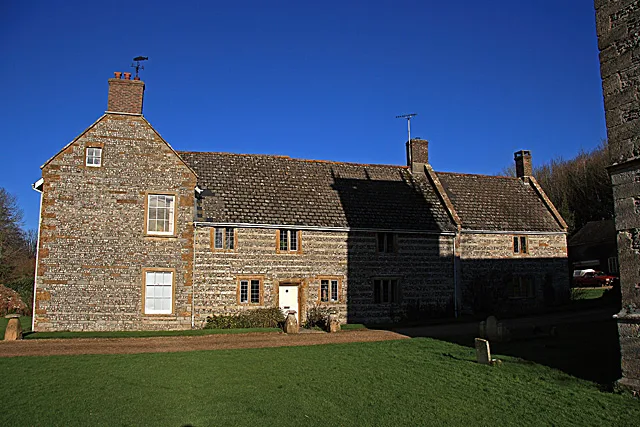
Nether Cerne Manor
Stately homes · 3.0 km

All Saints Church, Nether Cerne
Historic churches · 3.0 km

Nether Cerne
Villages · 3.0 km

Celtic fields
Archaeological sites · 3.1 km

Godmanstone
Towns & cities · 3.1 km

Cerne Abbas
Towns & cities · 3.4 km

The Giant Inn
Historic pubs · 3.6 km
Nearby
📷 3Archaeological sites · South West England
earthworks
earthworks — a archaeological in england-south-west, United Kingdom.
📷 3Archaeological sites · South West England
ancient village
ancient village — a archaeological in england-south-west, United Kingdom.
📷 5Museums · South West England
Sydling Water
Sydling Water — a museum in england-south-west, United Kingdom.
📷 5Manor houses · South West England
Godmanstone Manor
Godmanstone Manor — Grade II listed building-listed manor in england-south-east, United Kingdom.
📷 5Flagship📷 5Stately homes · South West England
Nether Cerne Manor
Nether Cerne Manor — manor house in Nether Cerne, West Dorset, England, UK.
Where to eat & stay near Martin Down enclosure 300m north of Huish Barn
Places to stay
 📷 5
📷 5Campsites · South West England
Clay Pigeon Caravan Park
Clay Pigeon Caravan Park — a campsite in england south west.
 📷 5
📷 5Caravan parks · South West England
Giant's Head Caravan & Camping Park
Giant's Head Caravan & Camping Park — a caravan park in england south east.
 📷 5
📷 5Caravan parks · South West England
Hardy Country Park
Hardy Country Park — a caravan park in england south west.
 📷 7
📷 7Hotels · South West England
Kings Arms Hotel
Kings Arms Hotel — a hotel in england south east.
 📷 5
📷 5 📷 5
📷 5Hotels · South West England
Hooke Court
Hooke Court — a hotel in england south west.
Places to eat & drink
📷 7 📷 6
📷 6 📷 5
📷 5Historic pubs · South West England
Plume Of Feathers Public House
Plume Of Feathers Public House in England South West, United Kingdom.
 📷 7
📷 7Historic pubs · South West England
Old House at Home
Old House at Home in England South West, United Kingdom.
 📷 5
📷 5Historic pubs · South West England
Junction Hotel
Junction Hotel in England South West, United Kingdom.
 📷 5
📷 5Historic pubs · South West England
The Royal Standard Public House
The Royal Standard Public House in England South West, United Kingdom.
More archaeological sites in this region
 📷 5
📷 5Archaeological sites · South West England
Battlesbury Camp Monuments: hillfort, settlement, cemetery, barrows, enclosure, and field systems
Battlesbury Camp Monuments: hillfort, settlement, cemetery, barrows, enclosure, and field systems — archaeological site in Warminster, Wiltshire, England, UK.
 📷 5
📷 5Archaeological sites · South West England
Blandford Forest
Blandford Forest — forest in Blandford Forum, England.
 📷 5
📷 5Archaeological sites · South West England
Boulsbury Wood
Boulsbury Wood — protected area in Dorset and Hampshire, England.
.jpg?width=1200) 📷 5
📷 5Archaeological sites · South West England
Cranborne Chase
Cranborne Chase — Plateau in southern England.
Frequently asked questions
- Where is Martin Down enclosure 300m north of Huish Barn?
- Martin Down enclosure 300m north of Huish Barn is in South-West England, United Kingdom (postcode DT2 9NS), in the parish of Sydling St. Nicholas.
- What is Martin Down enclosure 300m north of Huish Barn?
- Martin Down enclosure 300m north of Huish Barn — archaeological site in Dorset, England, UK.
- How do I get to Martin Down enclosure 300m north of Huish Barn?
- The nearest railway station is Maiden Newton, about 4.1 km away. The nearest town is Godmanstone. Drivers can use postcode DT2 9NS.
- Is Martin Down enclosure 300m north of Huish Barn a listed building?
- Martin Down enclosure 300m north of Huish Barn is officially recognised as scheduled monument listed.
- Is Martin Down enclosure 300m north of Huish Barn a protected site?
- Yes — Martin Down enclosure 300m north of Huish Barn is part of the Dorset National Landscape (AONB).
- Is Martin Down enclosure 300m north of Huish Barn free to visit?
- Yes, Martin Down enclosure 300m north of Huish Barn is free to enter.
- How do I get to Martin Down enclosure 300m north of Huish Barn?
- The nearest railway station is Maiden Newton, about 4.1 km away. Drivers can navigate to postcode DT2 9NS.