Public art & sculpture · West Midlands
Mappa Grundi
In or near Preston Wynne.
Mappa Grundi in England West Midlands, United Kingdom.

Fabian Musto — CC BY-SA 2.0 via Wikimedia Commons licence
Plan your visit
- Typical visit
- 1 h–2 h
- Free entry
- Dog-friendly
- Limited wheelchair access
About
Mappa Grundi is a public sculpture in England West Midlands, United Kingdom, dating from 2005. Britain's public art ranges from Henry Moore reclining figures and Anthony Gormley installations to the Angel of the North and the surviving statues of empire.
Photo gallery
See it from the streetimagery from 2019
Imagery © Mapillary contributors, CC BY-SA 4.0
From the Wikipedia article
A mappa mundi (Latin [ˈmappa ˈmʊndiː]; plural = mappae mundi; French: mappemonde; Middle English: mappemond) is any medieval European map of the world. Such maps range in size and complexity from simple schematic maps 25 millimetres (1 inch) or less across to elaborate wall maps, the largest of which to survive to modern times, the Ebstorf map, was around 3.5 m (11 ft 6 in) in diameter. The term derives from the Medieval Latin words mappa (cloth or chart) and mundus (world). Around 1,100 mappae mundi are known to have survived from the Middle Ages. Of these, some 900 are found in illustrated manuscript books and the remainder exist as stand-alone documents.
Excerpt from Wikipedia under CC BY-SA 4.0. See the source article linked in Sources below.
- Coordinates
- 52.1485, -2.5517
- District
- Herefordshire, County of
- Parish
- Stoke Lacy
- Postcode
- HR7 4HG
- Parliamentary constituency
- North Herefordshire
- Established
- 2005
Sources
- wikidata: Q47456445 (CC0)
- wikipedia: Mappa mundi (CC BY-SA 4.0)
Other places nearby

Stoke Lacy
Villages · 0.1 km

Stoke Cross Motte
Castles · 0.4 km

Three Crowns Inn
Historic pubs · 1.9 km

Little Cowarne
Villages · 2.0 km

Munderfield Stocks
Mountains & hills · 2.6 km
Moreton Jeffries Church
Historic churches · 2.6 km

Ullingswick
Villages · 2.9 km

Much Cowarne
Villages · 3.0 km

Medieval settlement at Much Cowarne, immediately south east of Mill House
Vineyards · 3.3 km

Pencombe
Villages · 3.5 km

Pencombe War Memorial
Memorials & monuments · 3.5 km

Dunder Camp and Upper Town Mound
Literary houses · 3.9 km
Nearby
📷 5📷 5📷 5Historic pubs · West Midlands
Three Crowns Inn
Three Crowns Inn in England West Midlands, United Kingdom.
📷 5📷 5Mountains & hills · West Midlands
Munderfield Stocks
Munderfield Stocks — a hill or mountain in england west midlands.
📷 3Historic churches · West Midlands
Moreton Jeffries Church
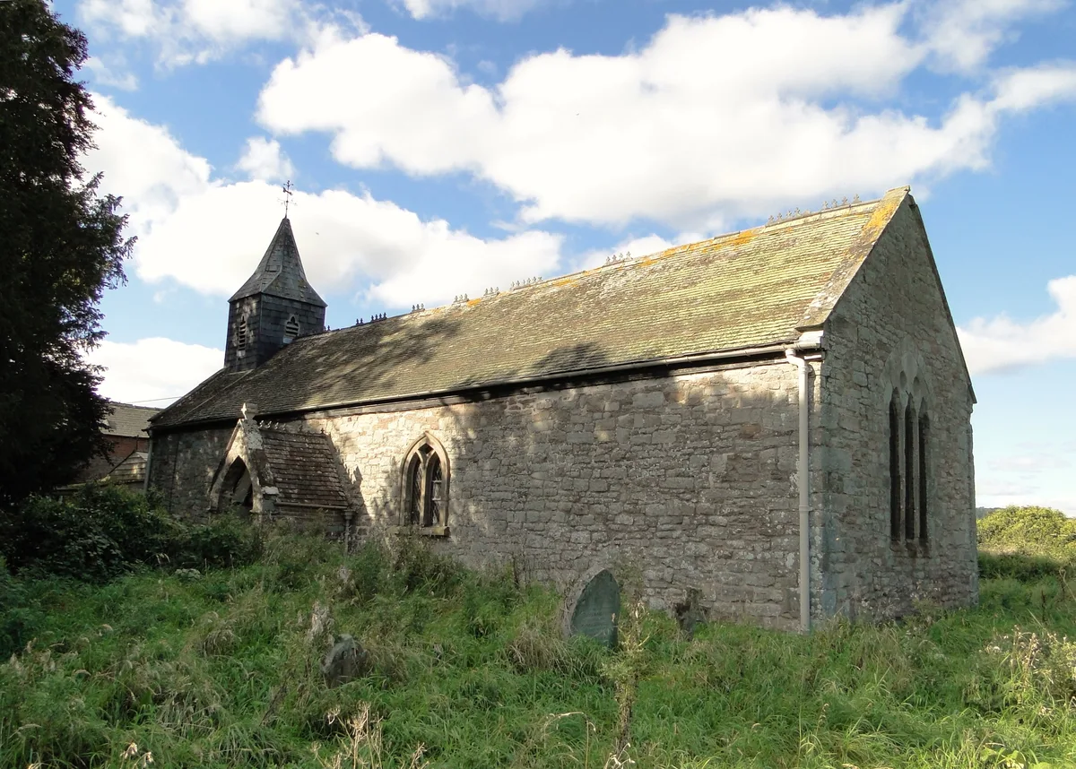
Moreton Jeffries Church — church in Moreton Jeffries, Herefordshire, England, UK.
Where to eat & stay near Mappa Grundi
Places to stay
 📷 5
📷 5 📷 5
📷 5Caravan parks · West Midlands
The Rock Caravan Park
The Rock Caravan Park — a caravan park in england west midlands.
 📷 5
📷 5 📷 5
📷 5Campsites · West Midlands
Camping and Caravanning Club Hereford site
Camping and Caravanning Club Hereford site — a campsite in england west midlands.
 📷 5
📷 5 📷 7
📷 7Places to eat & drink
📷 5Historic pubs · West Midlands
Three Crowns Inn
Three Crowns Inn in England West Midlands, United Kingdom.
 📷 5
📷 5Restaurants · West Midlands
The Fox and Badger
The Fox and Badger — a restaurant in england west midlands.
 📷 5
📷 5Historic pubs · West Midlands
Crown And Sceptre Public House
Crown And Sceptre Public House in England West Midlands, United Kingdom.
 📷 7
📷 7 📷 7
📷 7Historic pubs · West Midlands
The Tarrington Arms Public House
The Tarrington Arms Public House in England West Midlands, United Kingdom.
 📷 5
📷 5Historic pubs · West Midlands
The Trumpet Inn
The Trumpet Inn in England West Midlands, United Kingdom.
More places in this region
 📷 3
📷 3Public art & sculpture · West Midlands
Colin Grazier Memorial
Colin Grazier Memorial in England East Midlands, United Kingdom.
 📷 3
📷 3Public art & sculpture · West Midlands
The Rescue Miner
The Rescue Miner — a public art in england-east-midlands, United Kingdom.
📷 3Public art & sculpture · West Midlands
The Brereton Miner
The Brereton Miner — a public art in england-east-midlands, United Kingdom.
📷 3Public art & sculpture · West Midlands
The Deputy Miner
The Deputy Miner — a public art in england-east-midlands, United Kingdom.
Frequently asked questions
- Where is Mappa Grundi?
- Mappa Grundi is in the West Midlands, United Kingdom (postcode HR7 4HG), in the parish of Stoke Lacy.
- What is Mappa Grundi?
- Mappa Grundi in England West Midlands, United Kingdom.
- How do I get to Mappa Grundi?
- Drivers can use postcode HR7 4HG.
- When was Mappa Grundi built?
- Built or established in 2005.
- Is Mappa Grundi free to visit?
- Yes, Mappa Grundi is free to enter.
- How do I get to Mappa Grundi?
- Drivers can navigate to postcode HR7 4HG. It sits within the North Herefordshire parliamentary constituency.