Mountains & hills · Scottish Highlands
Maol a'Ghiubhais
Maol a'Ghiubhais — mountain in scotland highlands. Elevation: 409 m.

thejackrustles — CC BY-SA 2.0 via Wikimedia Commons licence
Plan your visit
- Typical visit
- 3 h–8 h
- Best time of year
- Late spring – early autumn (May–Oct)
About
Maol a'Ghiubhais is a mountain located in scotland highlands. Elevation: 409 m. A named British peak recorded in OpenStreetMap. Peaks are typically named on Ordnance Survey 1:50k mapping.
Photo gallery
Place summary
Maol a'Ghiubhais is a mountain located in the Scottish Highlands. It is characterised by its rugged terrain and scenic views typical of the region. The mountain offers opportunities for walking and climbing, attracting outdoor enthusiasts. The surrounding area is known for its natural beauty, making it a notable landmark in the Highlands.
AI-generated from the structured facts on this page (operator, designation, listing, era). Not a substitute for visiting.
- Coordinates
- 57.0545, -3.9864
Sources
- osm: n2444678422 (ODbL)
Other places nearby
Loading nearby places…
Nearby
 📷 5
📷 5Historic bridges · Scottish Highlands
Tromie Bridge
Tromie Bridge — category B listed building-listed bridge in scotland-highlands, United Kingdom.
 📷 5
📷 5Mountains & hills · Scottish Highlands
Meal Buidhe
Meal Buidhe — mountain in scotland highlands. Elevation: 627 m.
📷 5Mountains & hills · Scottish Highlands
Meall Buidhe
Meall Buidhe — a hill or mountain in scotland highlands.
 📷 3
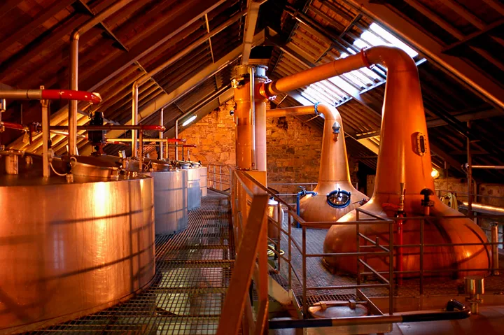
📷 3Distilleries · Scottish Highlands
The Speyside Distillery
The Speyside Distillery — Whisky/spirit distillery.
 📷 5
📷 5Mountains & hills · Scottish Highlands
Beinn Bhuidhe
Beinn Bhuidhe — mountain in scotland highlands. Elevation: 367 m.
 📷 5
📷 5Gorges · Scottish Highlands
Glen Tromie
Glen Tromie — a gorge in scotland highlands.
Where to eat & stay near Maol a'Ghiubhais
Places to stay
 📷 5
📷 5Campsites · Scottish Highlands
Kingussie camping & aire Croila Croft
Kingussie camping & aire Croila Croft — a campsite in scotland highlands.
 📷 5
📷 5Hostels · Scottish Highlands
Glen Feshie Hostel
Glen Feshie Hostel — a hostel in scotland highlands.
 📷 5
📷 5Hostels · Scottish Highlands
Pine Cottage
Pine Cottage — a hostel in scotland highlands.
 📷 5
📷 5Hostels · Scottish Highlands
Insh Hall
Insh Hall — a hostel in scotland highlands.
 📷 5
📷 5Hostels · Scottish Highlands
Loch Insh Watersports Bunkhouse
Loch Insh Watersports Bunkhouse — a hostel in scotland highlands.
 📷 5
📷 5Hostels · Scottish Highlands
Strathspey Mountain Hostel
Strathspey Mountain Hostel — a hostel in scotland highlands.
More mountains in this region
 📷 3
📷 3Mountains & hills · Scottish Highlands
A' Bhuidheanach Bheag
A' Bhuidheanach Bheag — Named summit at 936 m.
 📷 3
📷 3Mountains & hills · Scottish Highlands
A' Chailleach
A' Chailleach — Named summit at 997 m.
 📷 3
📷 3Mountains & hills · Scottish Highlands
A' Chailleach
A' Chailleach — Named summit at 930 m.
 📷 3
📷 3Mountains & hills · Scottish Highlands
A' Chaoirnich
A' Chaoirnich — Named summit at 875 m.
Frequently asked questions
- Where is Maol a'Ghiubhais?
- Maol a'Ghiubhais is in the Scottish Highlands, United Kingdom.
- What is Maol a'Ghiubhais?
- Maol a'Ghiubhais — mountain in scotland highlands. Elevation: 409 m.
- How do I get to Maol a'Ghiubhais?
- Its coordinates are 57.0545°, -3.9864°.