
Historic bridges · East Midlands
Mansfield Road Bridge (Spc8 6)
In or near Horsley.
Mansfield Road Bridge (Spc8 6) — Grade II listed building-listed bridge in england-east-midlands, United Kingdom.

Jonathan Clitheroe — CC BY-SA 2.0 via Wikimedia Commons licence

Plan your visit
- Typical visit
- 15 min–30 min
- Nearest railway station
- Derby · 2.0 km
- Free entry
- Dog-friendly
Getting there & planning your visit
Mansfield Road Bridge is located in Derby, postcode DE21 4AB, and is accessible via the nearest railway station, Derby, which is 2 km away. Entry to the bridge is free.
About
Mansfield Road Bridge (Spc8 6) is a Grade II listed building-listed bridge in england-east-midlands, United Kingdom, registered on the National Heritage List for England (NHLE entry 1417666). Listed status protects buildings and structures of special architectural or historic interest. See the linked Wikipedia article for further details.
Photo gallery
Heritage listing
Details A three-span stone overbridge carrying the Mansfield Road, built 1836-40 for the North Midland Railway to the designs of George and Robert Stephenson with Frederick Swanwick, and altered in 1891. MATERIALS: coursed and squared Coal Measure sandstone with ashlar Derbyshire Gritstone dressings. The dressings are tooled. The soffits of the arches are of red brick. DESCRIPTION: the high-mileage (north) face is a mirror image of the low-mileage (south) face. The central arch conforms to the standard dimensions of the Stephensons’ North Midland overbridges, with a span of 30ft and, originally, a height of 16ft. The outer arches span 25ft. All three are segmental arches with v-channelled, rusticated ashlar voussoirs springing from impost bands that continue onto the underside of the bridge. Beneath the impost bands the abutments are faced with coursed and squared quarry-faced stone, with rusticated ashlar quoins and plinths. The arch soffits are of red brick. Flanking the three arches, the splayed wing walls step out and are raked and concave with quoins, terminating in piers. The v-channelled and rusticated parapet builds up from a cornice composed of a narrow ashlar course, a bold roll mould, then a course of ashlar with a chamfered upper edge, all of which are tooled. Above are two large courses of picked stone with tooled margins. The coping stones are broad, tooled and square-moulded, with a slight fall to the outside edge. On their inside faces the parapets are two and half courses with punched surfaces. A loose stone wall has been built up against the pier and abutment on the down (west) side. Pursuant to s.1 (5A) of the Planning (Listed Buildings and Conservation Areas) Act 1990 (‘the Act’) it is declared that the tarmacadam road surface of the bridge is not of
From the Historic England List Entry under OGL v3.
Place summary
Mansfield Road Bridge is a Grade II listed bridge located in the East Midlands. Its designation reflects architectural significance and historical value.
AI-generated from the structured facts on this page (operator, designation, listing, era). Not a substitute for visiting.
- Coordinates
- 52.9345, -1.4686
- District
- Derby
- Parish
- Derby, unparished area
- Postcode
- DE21 4AB
- Parliamentary constituency
- Derby North
- Nearest railway station
- Derby — 2 km
Sources
- wikidata: Q26676603 (CC0)
Other places nearby
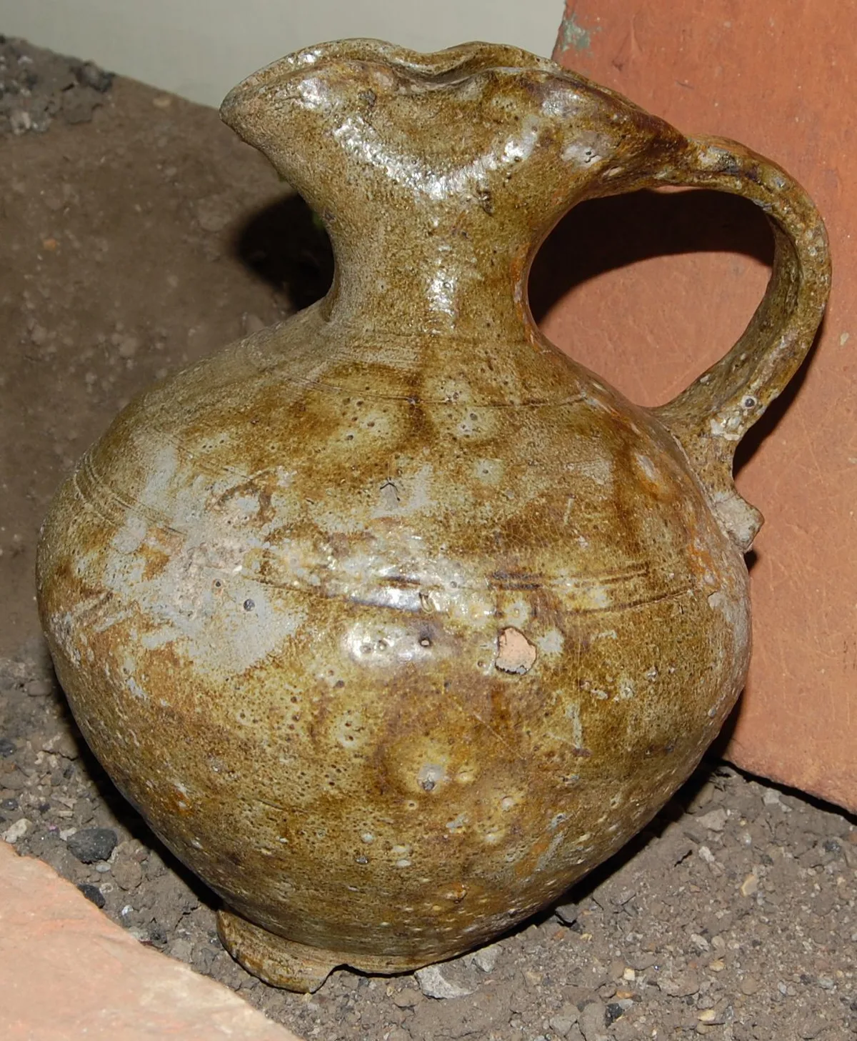
Derby Racecourse Roman settlement
Hill forts · 0.3 km

Little Chester
Museums · 0.4 km
Global Distillery Company
Distilleries · 0.5 km
Odeon Derby
Theatres · 0.6 km

Odeon Luxe
Cinemas · 0.6 km

Handyside Bridge
Historic bridges · 0.7 km

Accumulator Tower To The South Of Grain Warehouse In St Mary's Goods Yard
Memorials & monuments · 0.8 km

Darley Park
Country parks · 0.8 km

St Marys Bridge
Historic bridges · 0.9 km

Saint Mary's Bridge
Historic bridges · 0.9 km

Darley Abbey (remains of)
Cathedrals · 1.0 km
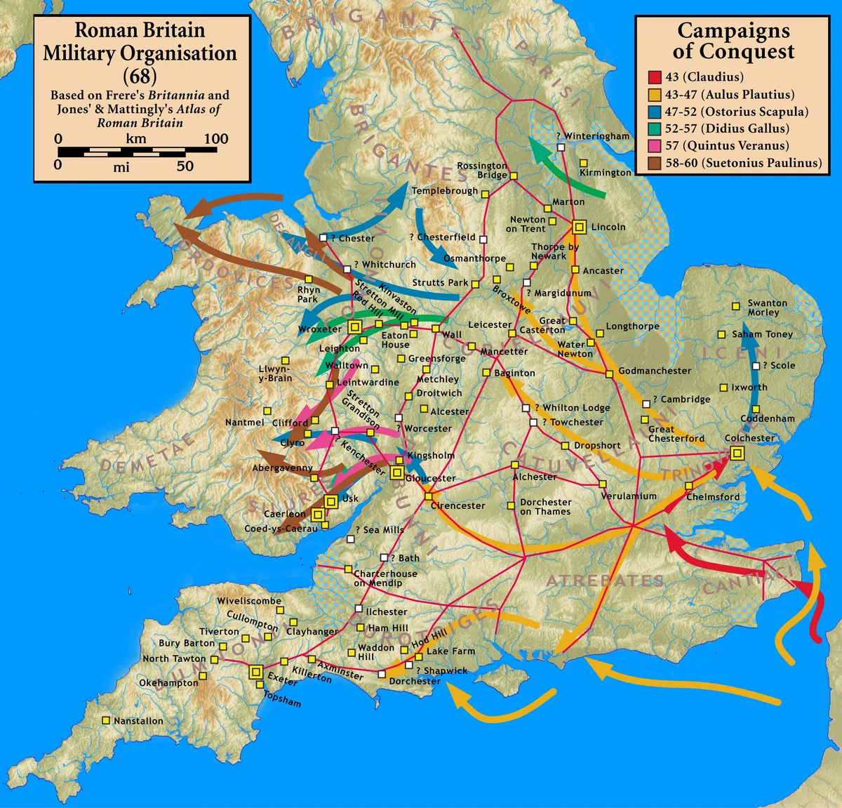
Strutt's Park Roman fort
Hill forts · 1.0 km
Nearby
📷 3Hill forts · East Midlands
Derby Racecourse Roman settlement
Derby Racecourse Roman settlement — archaeological site in United Kingdom.
📷 5Museums · East Midlands
Little Chester
Little Chester — a museum in england-east-midlands, United Kingdom.
📷 3Distilleries · East Midlands
Global Distillery Company
Global Distillery Company — Whisky/spirit distillery.
📷 5📷 5📷 5Historic bridges · East Midlands
Handyside Bridge
Handyside Bridge is a historic bridge in the United Kingdom.
Where to eat & stay near Mansfield Road Bridge (Spc8 6)
Places to stay
 📷 7
📷 7Hotels · East Midlands
Georgian House Hotel
Georgian House Hotel — a hotel in england east midlands.
 📷 5
📷 5Campsites · East Midlands
The Orchard Campsite
The Orchard Campsite — a campsite in england east midlands.
 📷 5
📷 5 📷 5📷 5📷 5
Places to eat & drink
 📷 5
📷 5Historic pubs · East Midlands
Ye Olde Dolphin Inne
Ye Olde Dolphin Inne in England East Midlands, United Kingdom.
 📷 3
📷 3Historic pubs · East Midlands
Jorrocks
Jorrocks — Historic pub — listed building or notable heritage status.
 📷 5
📷 5Historic pubs · East Midlands
Wardwick Tavern Public House
Wardwick Tavern Public House in England East Midlands, United Kingdom.
 📷 7
📷 7Historic pubs · East Midlands
Brunswick Tavern
Brunswick Tavern in England East Midlands, United Kingdom.
 📷 7
📷 7Historic pubs · East Midlands
Ye Olde Spa Inn Public House
Ye Olde Spa Inn Public House in England East Midlands, United Kingdom.
 📷 7
📷 7Historic pubs · East Midlands
The William IV Public House
The William IV Public House in England East Midlands, United Kingdom.
More bridges in this region
 📷 5
📷 5Historic bridges · East Midlands
Mill Race Bridge To Market Deeping Mill
Mill Race Bridge To Market Deeping Mill — Grade II listed building-listed bridge in england-london, United Kingdom.
 📷 5
📷 5Historic bridges · East Midlands
Bridge Over West Glen River
Bridge Over West Glen River — Grade II listed building-listed bridge in england-london, United Kingdom.
 📷 5
📷 5Historic bridges · East Midlands
Bridge And Sluices
Bridge And Sluices — Grade II listed building-listed bridge in england-london, United Kingdom.
 📷 5
📷 5Historic bridges · East Midlands
Bridge Over River Gwash
Bridge Over River Gwash — Grade II listed building-listed bridge in england-london, United Kingdom.
Frequently asked questions
- Where is Mansfield Road Bridge (Spc8 6)?
- Mansfield Road Bridge (Spc8 6) is in the East Midlands, United Kingdom (postcode DE21 4AB), in the parish of Derby, unparished area.
- What is Mansfield Road Bridge (Spc8 6)?
- Mansfield Road Bridge (Spc8 6) — Grade II listed building-listed bridge in england-east-midlands, United Kingdom.
- How do I get to Mansfield Road Bridge (Spc8 6)?
- The nearest railway station is Derby, about 2.0 km away. Drivers can use postcode DE21 4AB.
- Is Mansfield Road Bridge (Spc8 6) a listed building?
- Mansfield Road Bridge (Spc8 6) is officially recognised as Grade II listed building listed.
- Is Mansfield Road Bridge (Spc8 6) free to visit?
- Yes, Mansfield Road Bridge (Spc8 6) is free to enter.
- How do I get to Mansfield Road Bridge (Spc8 6)?
- The nearest railway station is Derby, about 2.0 km away. Drivers can navigate to postcode DE21 4AB.