
Castles · Mid Wales
Lydbury North
Lydbury North in Wales Mid, United Kingdom.

Michael Garlick — CC BY-SA 2.0 via Wikimedia Commons licence

Plan your visit
- Typical visit
- 1.5 h–3 h
- Nearest railway station
- Broome · 7.0 km
- Family-friendly
- Limited wheelchair access
Getting there & planning your visit
To visit Lydbury North, the nearest railway station is Broome, which is 7 km away. The postcode for sat-nav is SY7 8EA. Accessibility is limited for wheelchair users.
About
Lydbury North is a place of interest in Wales Mid, United Kingdom — drawn from open-data sources for visitor reference. See the linked Wikipedia article for the full description.
Photo gallery
See it from the streetimagery from 2020
Imagery © Mapillary contributors, CC BY-SA 4.0
Protected designations
- Area of Outstanding Natural Beauty: Shropshire Hills
Designations sourced from Natural England open data under OGL v3.
From the Wikipedia article
Lydbury North ( LID-bree) is a village and a geographically large civil parish in south Shropshire, England. The population of the parish at the 2011 census was 695. The parish is locally called Lydbury, and there is no settlement called Lydbury South. It lies in the southwest corner of the county, near to the towns of Clun and Bishop's Castle. The B4385 road runs through the village, as does the Jack Mytton Way. To the west is the village and parish of Colebatch. There is a part-time post office, community shop, school and church. Also there is a public house called the Powis Arms. The parish church, St Michael and All Angels, contains a small Catholic chapel. The village is at grid reference SO352859 and lies between 155m and 165m above sea level. Whilst the land to the south is flat, to the north it rises steeply.
Excerpt from Wikipedia under CC BY-SA 4.0. See the source article linked in Sources below.
- Coordinates
- 52.4680, -2.9560
- District
- Shropshire
- Parish
- Lydbury North
- Postcode
- SY7 8EA
- Parliamentary constituency
- South Shropshire
- Nearest railway station
- Broome — 7 km
- Official site
- lydburynorthparish.gov.uk
Sources
- wikidata: Q3877792 (CC0)
- wikipedia: Lydbury North (CC BY-SA 4.0)
Other places nearby

Walcot Hall Caravan & Camping Park
Campsites · 0.3 km

Clun and Bishop's Castle Rural District
Castles · 0.9 km

Oakeley Mynd
Mountains & hills · 1.5 km

Bridge At Ngr So 3607 8428
Historic bridges · 1.9 km

Lower Down Castle
Literary houses · 2.0 km

Lower Down
Castles · 2.1 km

Billings Ring
Vineyards · 2.7 km
Billings Ring large univallate hillfort
Vineyards · 2.7 km

Lynchgate Hill
Mountains & hills · 2.9 km

Short Wood
Mountains & hills · 2.9 km

Lea Castle
Literary houses · 3.2 km

Sunny Hill
Mountains & hills · 3.2 km
Nearby
📷 5Campsites · Mid Wales
Walcot Hall Caravan & Camping Park
Walcot Hall Caravan & Camping Park — a campsite in wales mid.
📷 3Castles · Mid Wales
Clun and Bishop's Castle Rural District
Clun and Bishop's Castle Rural District in Wales Mid, United Kingdom.
📷 5📷 3Historic bridges · Mid Wales
Bridge At Ngr So 3607 8428
Bridge At Ngr So 3607 8428 — Grade II listed building-listed bridge in wales-mid, United Kingdom.
📷 5Literary houses · Mid Wales
Lower Down Castle
Lower Down Castle — a literary house museum in wales mid.
📷 5Where to eat & stay near Lydbury North
Places to stay
📷 5Campsites · Mid Wales
Walcot Hall Caravan & Camping Park
Walcot Hall Caravan & Camping Park — a campsite in wales mid.
 📷 5
📷 5Campsites · Mid Wales
Foxholes Camp Site
Foxholes Camp Site — a campsite in wales mid.
 📷 5
📷 5 📷 5
📷 5Campsites · West Midlands
Hamperley Camping
Hamperley Camping — a campsite in wales mid.
 📷 5
📷 5Caravan parks · Mid Wales
Daisy Bank Touring Caravan Park
Daisy Bank Touring Caravan Park — a caravan park in wales mid.
 📷 5
📷 5Places to eat & drink
 📷 7
📷 7Historic pubs · Mid Wales
The Six Bells And Former Stables To Rear
The Six Bells And Former Stables To Rear in Wales Mid, United Kingdom.
 📷 5
📷 5Historic pubs · Mid Wales
The Black Lion And Forecourt Railings
The Black Lion And Forecourt Railings in Wales Mid, United Kingdom.
 📷 4
📷 4 📷 5
📷 5 📷 5
📷 5 📷 5
📷 5Historic pubs · West Midlands
The Bucks Head Public House
The Bucks Head Public House in Wales Mid, United Kingdom.
More castles in this region
 📷 3
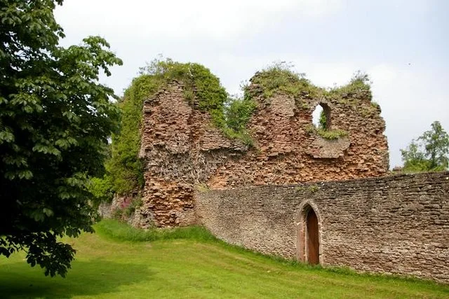
📷 3Castles · Mid Wales
Alberbury Castle
Alberbury Castle — castle in Alberbury with Cardeston, Shropshire, England, UK.
 📷 5
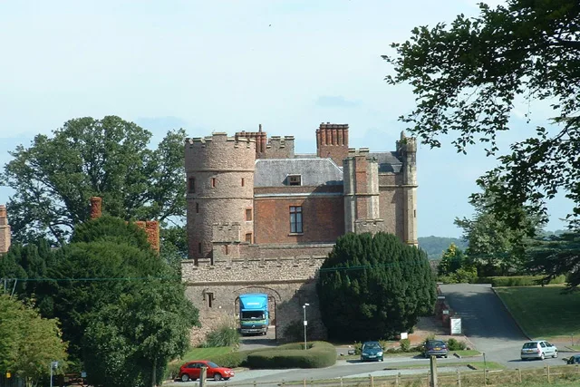
📷 5Castles · Mid Wales
Rowton Castle
Rowton Castle — castle in Alberbury with Cardeston, Shropshire, England, UK.
 📷 4
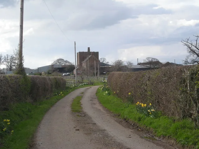
📷 4Castles · Mid Wales
Wattlesborough Castle
Wattlesborough Castle — Grade I listed castle in Shropshire, England, UK.
 📷 5
📷 5Castles · Mid Wales
Wollaston, Shropshire
Wollaston, Shropshire — a castle in wales-north, United Kingdom.
Frequently asked questions
- Where is Lydbury North?
- Lydbury North is in Mid Wales, United Kingdom (postcode SY7 8EA), in the parish of Lydbury North.
- What is Lydbury North?
- Lydbury North in Wales Mid, United Kingdom.
- How do I get to Lydbury North?
- The nearest railway station is Broome, about 7.0 km away. Drivers can use postcode SY7 8EA.
- Is Lydbury North a protected site?
- Yes — Lydbury North is part of the Shropshire Hills National Landscape (AONB).
- Does Lydbury North charge admission?
- Lydbury North typically charges admission. Check the official site for current ticket prices and opening hours.
- How do I get to Lydbury North?
- The nearest railway station is Broome, about 7.0 km away. Drivers can navigate to postcode SY7 8EA.