
Historic houses · South East England
Luxford House
In or near Rotherfield.
Luxford House — a Grade II*-listed historic house in england-south-east, United Kingdom.

Simon Carey — CC BY-SA 2.0 via Wikimedia Commons licence

Plan your visit
- Typical visit
- 1 h–2 h
- Nearest railway station
- Crowborough · 1.1 km
- Family-friendly
- Limited wheelchair access
Getting there & planning your visit
To visit Luxford House, the nearest railway station is Crowborough, located 1.1 km away. The postcode for sat-nav is TN6 2PR. Please note that wheelchair accessibility is limited.
About
Luxford House is a Grade II*-listed building in england-south-east, United Kingdom. Grade II* status is conferred by Historic England (or Cadw, Historic Environment Scotland or NIEA equivalents) on buildings of exceptional national interest. See the linked Wikipedia article for full historical and architectural details.
Photo gallery
Protected designations
- Area of Outstanding Natural Beauty: High Weald
Designations sourced from Natural England open data under OGL v3.
From the Wikipedia article
Luxford House is a 16th-century Grade II listed building in Crowborough, East Sussex. It is near the 11.5-acre (4.7 ha) Luxford Farm. It was used by several rock musicians in the 1970s under the guidance of Tony Stratton Smith.
Excerpt from Wikipedia under CC BY-SA 4.0. See the source article linked in Sources below.
Background
History
Luxford house was constructed in the early 16th century as a smoke bay house. During the 1930s it was bought by Sir Hugh Beaver, former Ministry of Works director general and founder of the Guinness Book of Records, who renovated and extended it. It was Grade II listed on 26 November 1953. and the cover of Neil Diamond's album Stones also uses a picture taken on the property—of a stone wall—as its cover.
Architecture
Luxford house is set in a 4500 sqft estate with several lawns and gardens. The house features six bedrooms and a gym/studio constructed of Wealden stone. The exterior is timber-framed with plaster infilling, supported by a set of diagonal braces on the first floor and covered with a tile roof.
Sourced from Wikipedia under CC BY-SA 4.0.
- Coordinates
- 51.0441, 0.1731
- County
- East Sussex
- District
- Wealden
- Parish
- Crowborough
- Postcode
- TN6 2PR
- Parliamentary constituency
- Sussex Weald
- Nearest railway station
- Crowborough — 1.1 km
Sources
- wikidata: Q23305150 (CC0)
- wikipedia: Luxford House (CC BY-SA 4.0)
Other places nearby
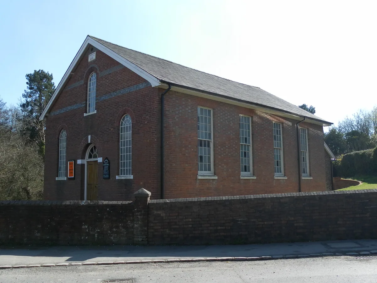
Rehoboth Chapel, Jarvis Brook
Historic churches · 0.6 km
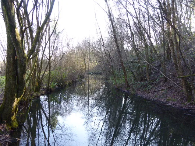
Crowborough Country Park
Wildlife reserves · 0.6 km

Rock Snake
Public art & sculpture · 1.3 km

Crowborough War Memorial
Memorials & monuments · 1.3 km

Windlesham Manor
Manor houses · 1.3 km

Winscombe House And Winscombe Tower
Memorials & monuments · 1.6 km

Crowborough
Mountains & hills · 1.8 km
Crowborough Hill
Mountains & hills · 1.8 km

The Crowborough Cross
Historic pubs · 2.0 km

Crowborough
Museums · 2.0 km

Crowborough Minature Railway
Miniature railways · 2.0 km

Crowborough Camping And Caravanning Club Site
Caravan parks · 2.3 km
Nearby
📷 5Historic churches · South East England
Rehoboth Chapel, Jarvis Brook
Rehoboth Chapel, Jarvis Brook — church in United Kingdom.
📷 5Wildlife reserves · South East England
Crowborough Country Park
Crowborough Country Park is a wildlife reserve in the United Kingdom.
📷 5Public art & sculpture · South East England
Rock Snake
Rock Snake — a public art in england-south-east, United Kingdom.
📷 5Memorials & monuments · South East England
Crowborough War Memorial
Crowborough War Memorial — Grade II listed building-listed memorial in england-south-east, United Kingdom.
📷 5Manor houses · South East England
Windlesham Manor
Windlesham Manor — Grade II listed building-listed manor in england-south-east, United Kingdom.
📷 5Memorials & monuments · South East England
Winscombe House And Winscombe Tower
Winscombe House And Winscombe Tower — Grade II listed building-listed memorial in england-south-east, United Kingdom.
Where to eat & stay near Luxford House
Places to stay
📷 5Caravan parks · South East England
Crowborough Camping And Caravanning Club Site
Crowborough Camping And Caravanning Club Site — a caravan park in england south east.
 📷 5
📷 5 📷 5
📷 5Hotels · South East England
Buxted Park Hotel
Buxted Park Hotel — a hotel in england south east.
 📷 5
📷 5 📷 5
📷 5Campsites · South East England
Adamswell Scout Camp
Adamswell Scout Camp — a campsite in england south east.
 📷 5
📷 5Places to eat & drink
📷 5Historic pubs · South East England
The Crowborough Cross
The Crowborough Cross in England South East, United Kingdom.
 📷 5
📷 5Historic pubs · South East England
The Boars Head Inn
The Boars Head Inn in England South East, United Kingdom.
 📷 5
📷 5Historic pubs · South East England
The Five Ashes Inn
The Five Ashes Inn in England South East, United Kingdom.
 📷 5
📷 5Historic pubs · South East England
The Rose And Crown Inn
The Rose And Crown Inn in England South East, United Kingdom.
.jpg?width=1200) 📷 5
📷 5Historic pubs · South East England
Nevill Crest and Gun
Nevill Crest and Gun — Historic pub — listed building or notable heritage status.
 📷 5
📷 5Historic pubs · South East England
The George
The George — Historic pub — listed building or notable heritage status.
More historic houses in this region
 📷 5
📷 5Historic houses · South East England
12 and 14 High Street, Rochester
12 and 14 High Street, Rochester — building in Rochester, Kent, England, UK.
 📷 5
📷 5Historic houses · South East England
Berkeley House
Berkeley House — house in Rochester, Kent, England, UK.
.jpg?width=1200) 📷 5
📷 5Historic houses · South East England
Betchworth House
Betchworth House — house in Betchworth, Mole Valley, England, UK.
 📷 5
📷 5Historic houses · South East England
Bookham Grove
Bookham Grove — building in Mole Valley, Surrey, England, UK.
Frequently asked questions
- Where is Luxford House?
- Luxford House is in East Sussex, South-East England, United Kingdom (postcode TN6 2PR), in the parish of Crowborough.
- What is Luxford House?
- Luxford House — a Grade II*-listed historic house in england-south-east, United Kingdom.
- How do I get to Luxford House?
- The nearest railway station is Crowborough, about 1.1 km away. Drivers can use postcode TN6 2PR.
- Is Luxford House a listed building?
- Luxford House is officially recognised as Grade II* listed.
- Is Luxford House a protected site?
- Yes — Luxford House is part of the High Weald National Landscape (AONB).
- How do I get to Luxford House?
- The nearest railway station is Crowborough, about 1.1 km away. Drivers can navigate to postcode TN6 2PR.