
Wild swimming spots · London
Luxborough Lakes
In or near Lambourne.
Luxborough Lakes — a wild swimming in england london.

Marathon — CC BY-SA 2.0 via Wikimedia Commons licence

Plan your visit
- Typical visit
- 1 h–2 h
- Nearest railway station
- Buckhurst Hill · 0.8 km
About
Luxborough Lakes is a wild swimming located in england london, mapped by OpenStreetMap contributors. Detailed amenities and visitor information may vary; check the OSM page for the latest tagged metadata.
Photo gallery
Protected designations
- Site of Special Scientific Interest: Epping Forest SSSI
Designations sourced from Natural England open data under OGL v3.
Place summary
Luxborough Lakes, located in London, offers a wild swimming experience in a natural setting. The lakes are surrounded by greenery, providing a serene environment for outdoor enthusiasts. Visitors can expect a tranquil escape for swimming and relaxation amidst nature. The area is suitable for those seeking a refreshing dip away from urban life.
AI-generated from the structured facts on this page (operator, designation, listing, era). Not a substitute for visiting.
- Coordinates
- 51.6209, 0.0553
- County
- Essex
- District
- Epping Forest
- Parish
- Buckhurst Hill
- Postcode
- IG9 6FF
- Parliamentary constituency
- Epping Forest
- Nearest railway station
- Buckhurst Hill — 0.8 km
Sources
- osm: w969276017 (ODbL)
Other places nearby

Buckhurst Hill War Memorial
Memorials & monuments · 0.7 km
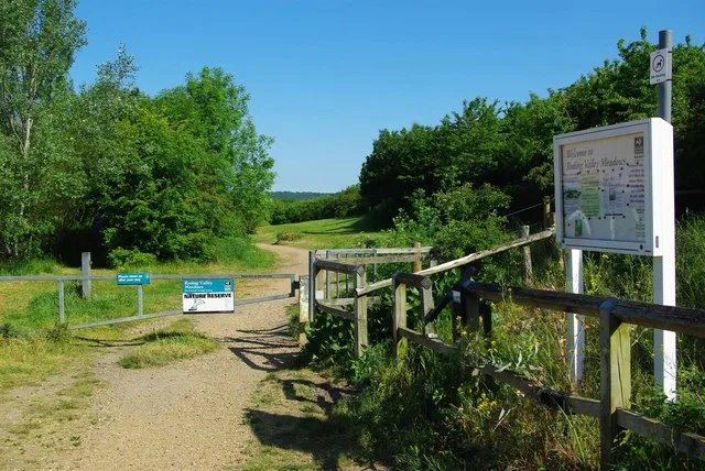
Roding Valley Meadows
Wildlife reserves · 1.1 km
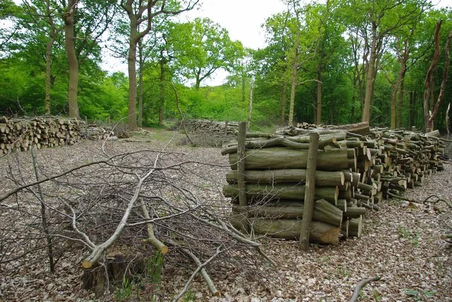
Thrift Wood
Wildlife reserves · 1.1 km

Linder's Field Local Nature Reserve
Forests & woodlands · 1.4 km
Linder's Field
Parks · 1.4 km

Chigwell Hall
Historic houses · 1.5 km

Woodford Wells
Chapels · 1.6 km

London Chigwell Prince Regent Hotel
Hotels · 1.7 km
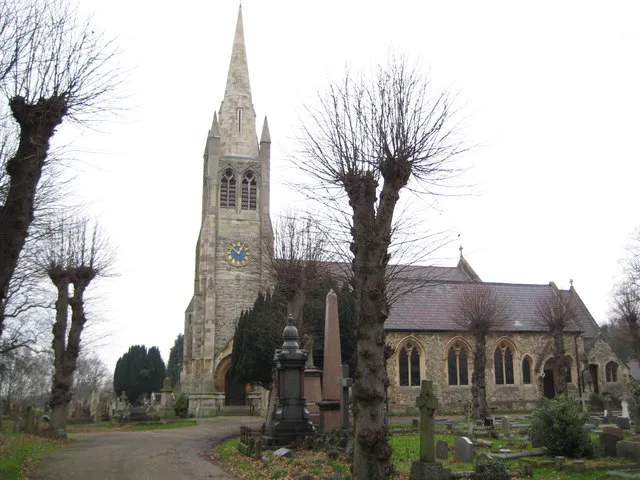
St John the Baptist Church, Buckhurst Hill
Historic churches · 1.8 km

Ray Lodge mural
Public art & sculpture · 1.8 km

Buckhurst Hill
Museums · 1.8 km

Woodford Green War Memorial
Memorials & monuments · 1.9 km
Nearby
📷 5Memorials & monuments · London
Buckhurst Hill War Memorial
Buckhurst Hill War Memorial is a memorial in the United Kingdom.
Flagship📷 10Wildlife reserves · London
Roding Valley Meadows
Roding Valley Meadows — Essex Wildlife Trust Nature reserve.
Flagship📷 10Wildlife reserves · London
Thrift Wood
Thrift Wood — Essex Wildlife Trust Nature reserve.
📷 5Forests & woodlands · London
Linder's Field Local Nature Reserve
Linder's Field Local Nature Reserve is a forest or woodland in the United Kingdom.
📷 5📷 5Historic houses · London
Chigwell Hall
Chigwell Hall — house in Chigwell, Essex, England, UK.
Where to eat & stay near Luxborough Lakes
Places to stay
📷 7Hotels · London
London Chigwell Prince Regent Hotel
London Chigwell Prince Regent Hotel — a hotel in england london. 4-star. Brand: Best Western.
 📷 5
📷 5 📷 5
📷 5 📷 5
📷 5 📷 5📷 5
Places to eat & drink
 📷 5
📷 5 📷 5
📷 5 📷 5
📷 5Historic pubs · London
The Nightingale Public House
The Nightingale Public House in England London, United Kingdom.
 📷 5
📷 5 📷 7
📷 7Historic pubs · London
Queen Victoria Public House
Queen Victoria Public House in England London, United Kingdom.
 📷 7
📷 7Historic pubs · London
Mirth, Marvel and Maud
Mirth, Marvel and Maud in England London, United Kingdom.
More places in this region
 📷 5
📷 5Wild swimming spots · London
Waterplay (Cock Pond)
Waterplay (Cock Pond) — a wild swimming in england london.
 📷 5
📷 5 📷 5
📷 5Wild swimming spots · London
Love Open Water London Royal Docks
Love Open Water London Royal Docks — a wild swimming in england london.
 📷 5
📷 5Wild swimming spots · London
Mixed Bathing Pond
Mixed Bathing Pond — a wild swimming in england london.
Frequently asked questions
- Where is Luxborough Lakes?
- Luxborough Lakes is in Essex, London, United Kingdom (postcode IG9 6FF), in the parish of Buckhurst Hill.
- What is Luxborough Lakes?
- Luxborough Lakes — a wild swimming in england london.
- How do I get to Luxborough Lakes?
- The nearest railway station is Buckhurst Hill, about 0.8 km away. Drivers can use postcode IG9 6FF.
- Is Luxborough Lakes a protected site?
- Yes — Luxborough Lakes is part of the Epping Forest SSSI Site of Special Scientific Interest.
- How do I get to Luxborough Lakes?
- The nearest railway station is Buckhurst Hill, about 0.8 km away. Drivers can navigate to postcode IG9 6FF.